The best walks and hikes around La Nava De Ricomalillo
4.5
(4)
32
hikers
4
hikes
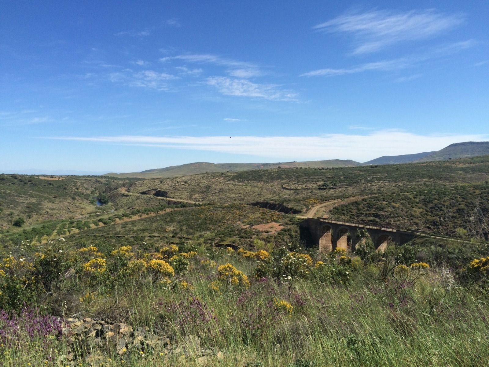
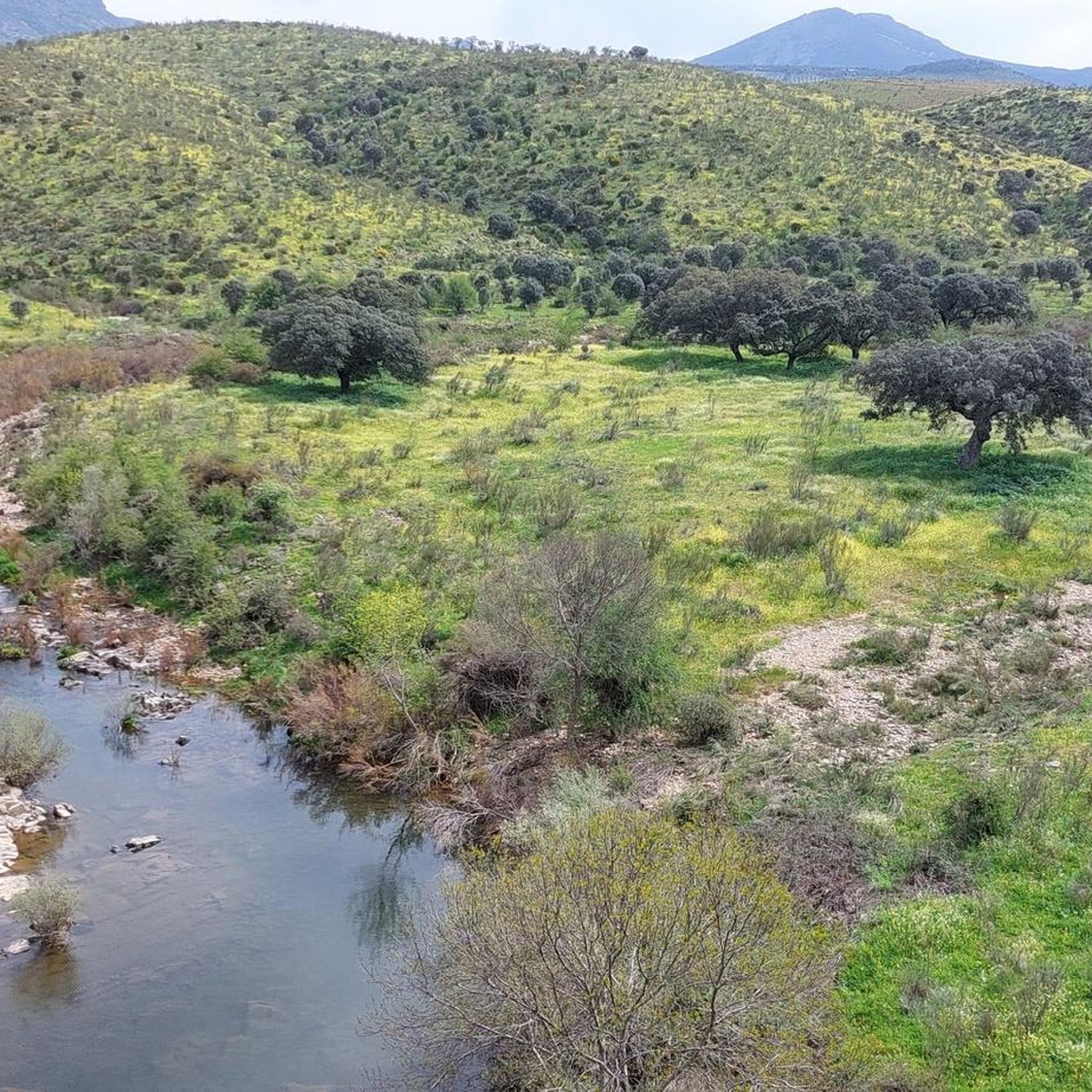
Hiking around La Nava De Ricomalillo offers diverse natural landscapes within the Comarca de la Jara in Toledo, Spain. The region features dehesas, Mediterranean forests, and traditional paths. Notable natural features include the Sierra de Sevilleja, home to the Chorrera de las Lanchas waterfall, and the Valle y Túnel del Río Huso. Hikers can also explore hills like Cerro del Castillo and Cerro Mogorro, which provide panoramic views of the jareño landscape.
Best hiking trails around La Nava De Ricomalillo
…Last updated: July 11, 2026
4.5
(4)
26
hikers
9.52km
03:08
270m
270m
Hard hike. Good fitness required. Sure-footedness, sturdy shoes and alpine experience required.
1
hikers
8.65km
02:48
360m
350m
Moderate hike. Good fitness required. Easily-accessible paths. Suitable for all skill levels.

Sign up for free
1
hikers
6.65km
01:49
110m
110m
Moderate hike. Great for any fitness level. Mostly accessible paths. Sure-footedness required.
9.42km
02:28
80m
80m
Moderate hike. Good fitness required. Easily-accessible paths. Suitable for all skill levels.
4
hikers
13.5km
04:41
530m
530m
Hard hike. Good fitness required. Sure-footedness, sturdy shoes and alpine experience required.
Our route recommendations are based on thousands of hikes, rides, and runs completed by other people on komoot.
Start today with a free account
Your next adventure awaits.
Login or Signup
Other adventures around La Nava De Ricomalillo

Tips from the Community

Las Hunfrías is a small town of less than 50 inhabitants that sits in a beautiful valley surrounded by mountains. To the south of the town you will find green areas full of oaks, holm oaks, pines and chestnut trees, as well as shrubs such as cistus, broom and ferns.
0
0
Here you will find a shelter called Caseta de la Garganta de las Lanchas. If you walk the path for about a hundred meters you will reach the Garganta de las Lanchas and shortly after two beautiful waterfalls. This trail is prohibited for bicycles, so you will have to leave your bike at the shelter or walk with your bike.
0
1

The obligatory point during the visit in the town is the Church of San Bartolomé, from the 16th century, in late Gothic style, where we can see the frescoes, which represent scenes from the life and martyrdom of San Bartolomé.
2
1
A granite hill, 680 m high, which allows us to enjoy the beautiful landscape that surrounds it. In addition, at the top we find remains of the walls of Celtic origin and later Muslim use.
3
0
The highest part of the PR-TO 25 trail. The viewpoint offers us a spectacular view of the entire region of Jara and the Sierra de Gredos. Counting on such privileged views, the site served as a lookout post during the Spanish Civil War.
1
1
In the area called Los Praderones, where we will see large stone screes after a steep ascent, there are some caves that were frequented by bandits in the area such as "Felipe el facioso" to hide. In some you can still see the places where they lit the fire.
1
1
The Antigua Casa de los Pechiches Interpretation Center is located right next to a small lagoon. This part of the trail is flatter.
1
1
Frequently Asked Questions
What kind of landscapes can I expect to see while hiking around La Nava De Ricomalillo?
The region is characterized by its 'La Jara Toledana' landscape, featuring picturesque dehesas (wooded pastures), lush Mediterranean forests, and traditional paths. You'll also encounter the stunning Sierra de Sevilleja and the tranquil Valle y Túnel del Río Huso.
Are there any waterfalls or significant natural features to discover?
Yes, a prominent natural feature is the Chorrera de las Lanchas, a captivating waterfall located within a micro-nature reserve in the Sierra de Sevilleja. You can reach it via routes like the Garganta de las Lanchas Trail or the longer Las Hunfrías – Chorrera de las Lanchas loop.
Are there any viewpoints offering panoramic views of the area?
Absolutely. Hikers can ascend hills like Cerro del Castillo and Cerro Mogorro, which offer expansive panoramic views of the 'jareño' landscape. For a dedicated viewpoint experience, consider the Bellavista Viewpoint Trail, which provides excellent vistas.
What is the Vía Verde de la Jara and can I hike on it?
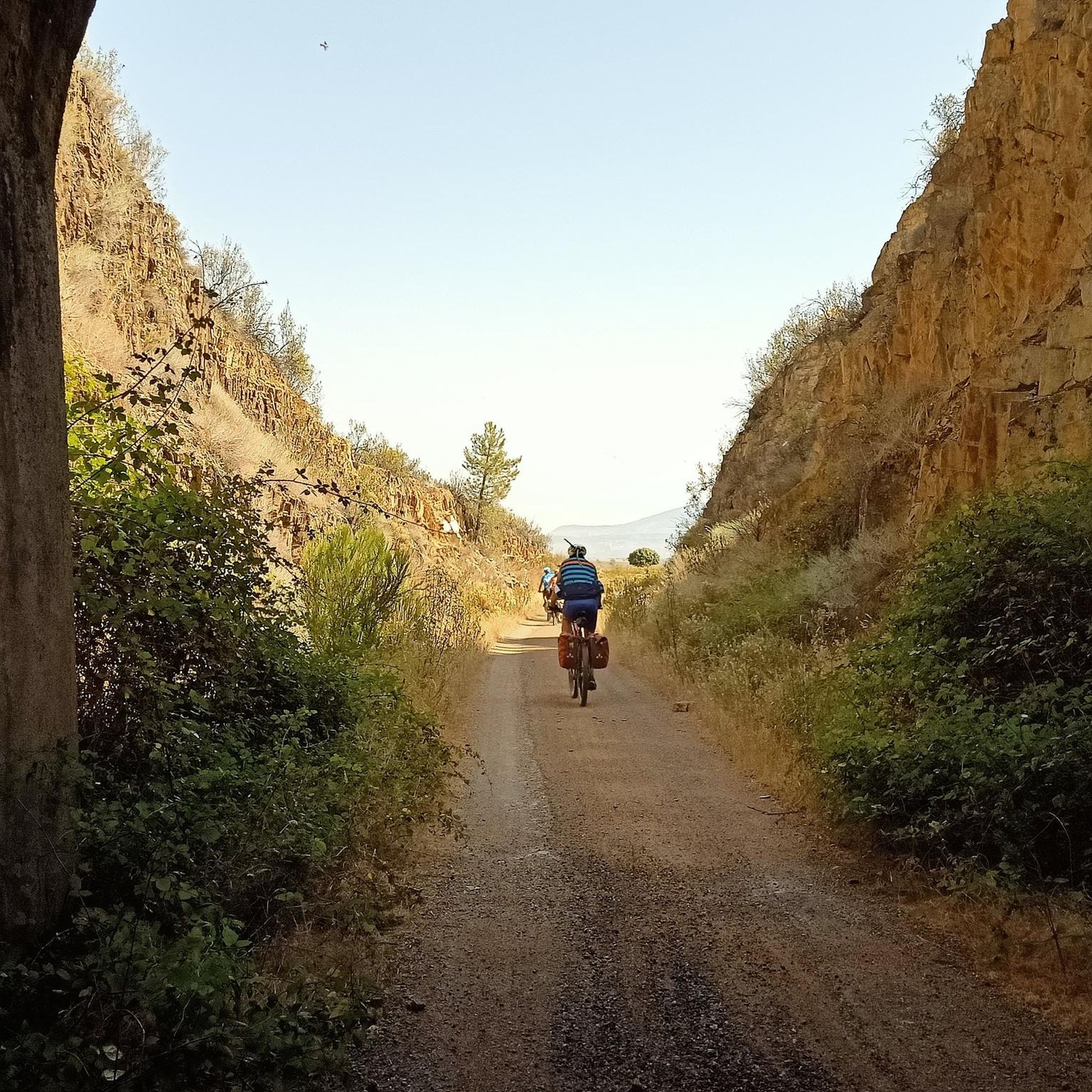
The Vía Verde de la Jara is a notable 52-kilometer-long path built on an old railway line. Its minimal elevation changes make it ideal for both hiking and cycling, offering a scenic and accessible way to explore the region. You can find more information about it at the Vía Verde de la Jara highlight page.
Are there any circular hiking routes available?
Yes, there are circular options for hikers. For example, the Sendero Cerro El Castrejón (SL-TO 02) — circular is a moderate 6.6 km trail that allows you to return to your starting point without retracing your steps. Another option is the Las Hunfrías – Chorrera de las Lanchas loop.
What do other hikers say about the trails in La Nava De Ricomalillo?
The routes in La Nava De Ricomalillo are highly rated by the komoot community, with an average score of 4.5 stars from over 4 reviews. Hikers often praise the diverse terrain, from Mediterranean forests to traditional paths, and the opportunities to discover natural features like the Chorrera de las Lanchas.
Are there any historical sites or points of interest along the trails?
Beyond natural beauty, the region offers archaeological heritage. You can discover ancient Roman gold mines, explore the historical Fuente del Oro, or visit the Church of San Bartolomé. The Huso River Valley and Tunnel also offers a unique historical passage.
What is the best time of year to go hiking in La Nava De Ricomalillo?
The region's Mediterranean climate generally makes spring and autumn ideal for hiking, offering pleasant temperatures and vibrant natural scenery. Summers can be hot, while winters are mild, making year-round exploration possible depending on your preference for weather conditions.
Are there any trails suitable for beginners or those looking for an easier hike?
While some routes are moderate to difficult, the Vía Verde de la Jara offers minimal elevation changes, making it a great option for easier walks. Additionally, many traditional paths through the dehesas and Mediterranean forests are suitable for leisurely strolls.
How long do hikes typically take in this area?
Hike durations vary depending on the route and your pace. For example, the Sendero Cerro El Castrejón (SL-TO 02) — circular can be completed in about 1 hour 49 minutes, while the Garganta de las Lanchas Trail typically takes around 3 hours 8 minutes.
Are there any trails that pass through old railway infrastructure?
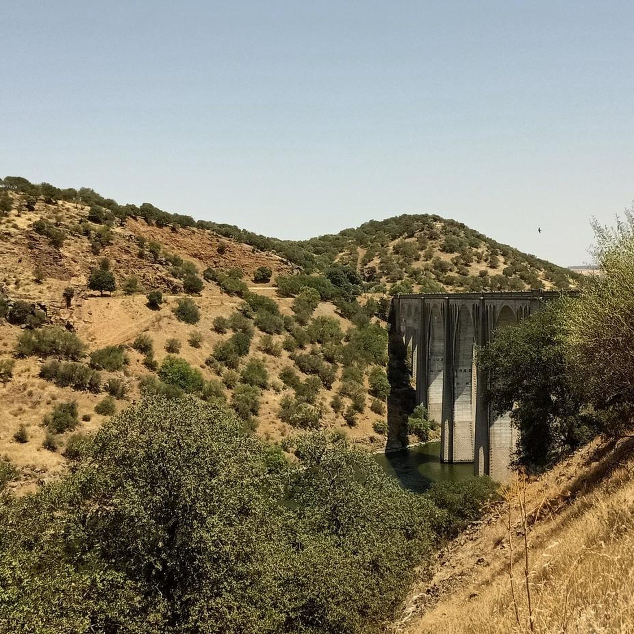
Yes, the Vía Verde de la Jara is built on an old, never-inaugurated railway line, featuring tunnels and bridges. You can also find the Old Campillo-Sevilleja railway station as a point of interest along this route.
Most popular routes around La Nava De Ricomalillo
Most popular attractions around La Nava De Ricomalillo

Get inspired with the komoot mobile app


Explore more
Browse the best Hikes in other regions.
