The best MTB trails around Anguiano
4.8
(6)
264
riders
55
rides
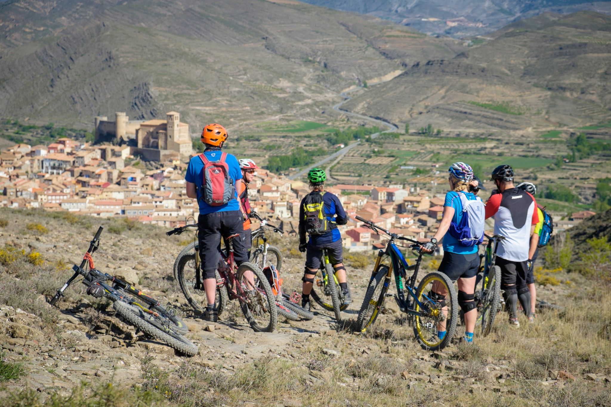
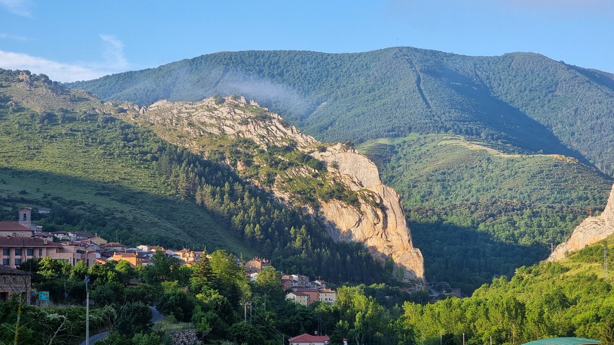
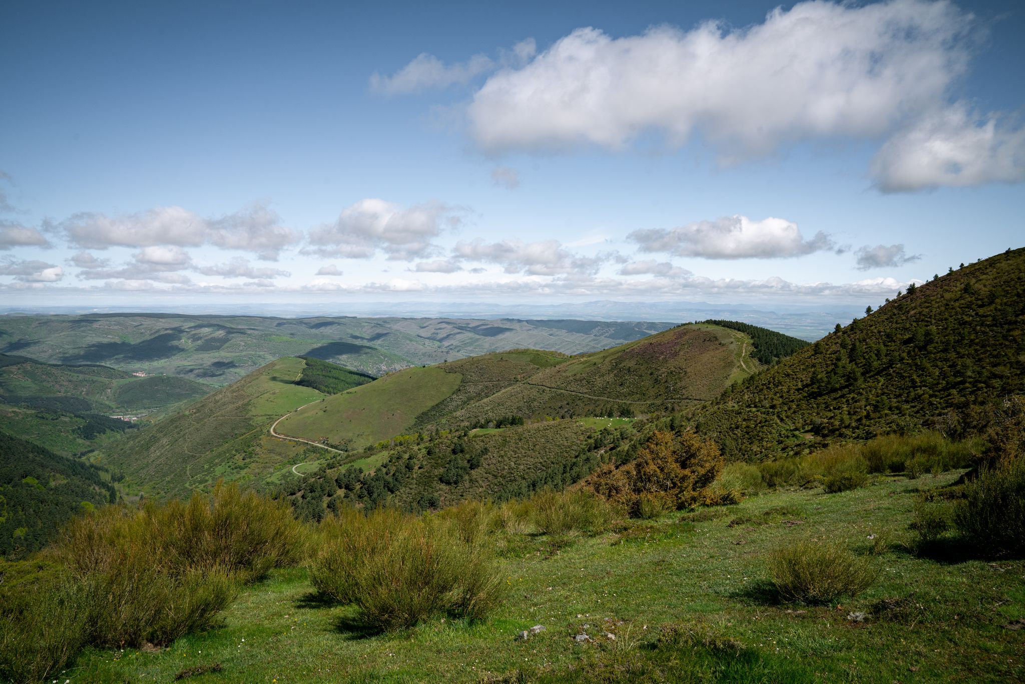
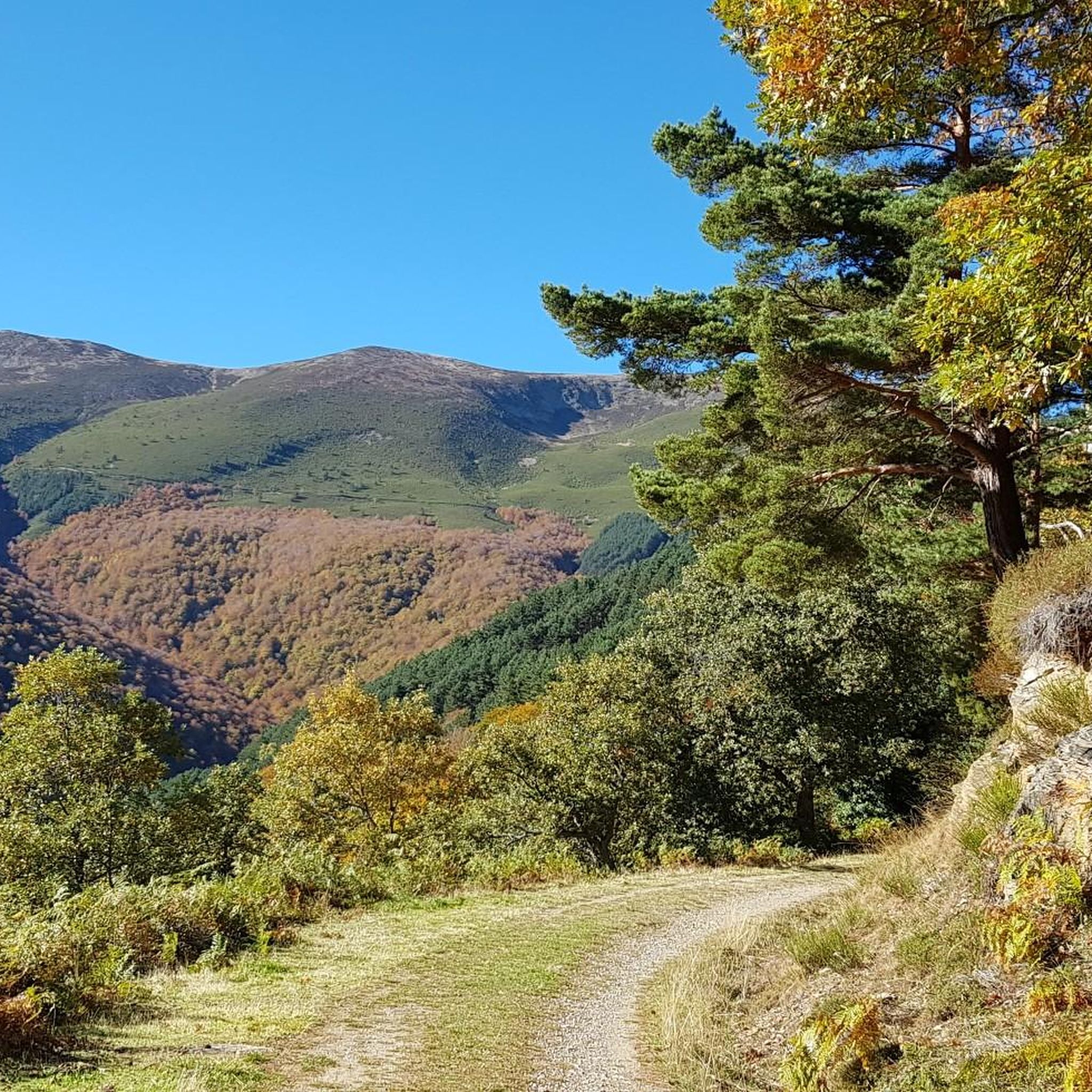
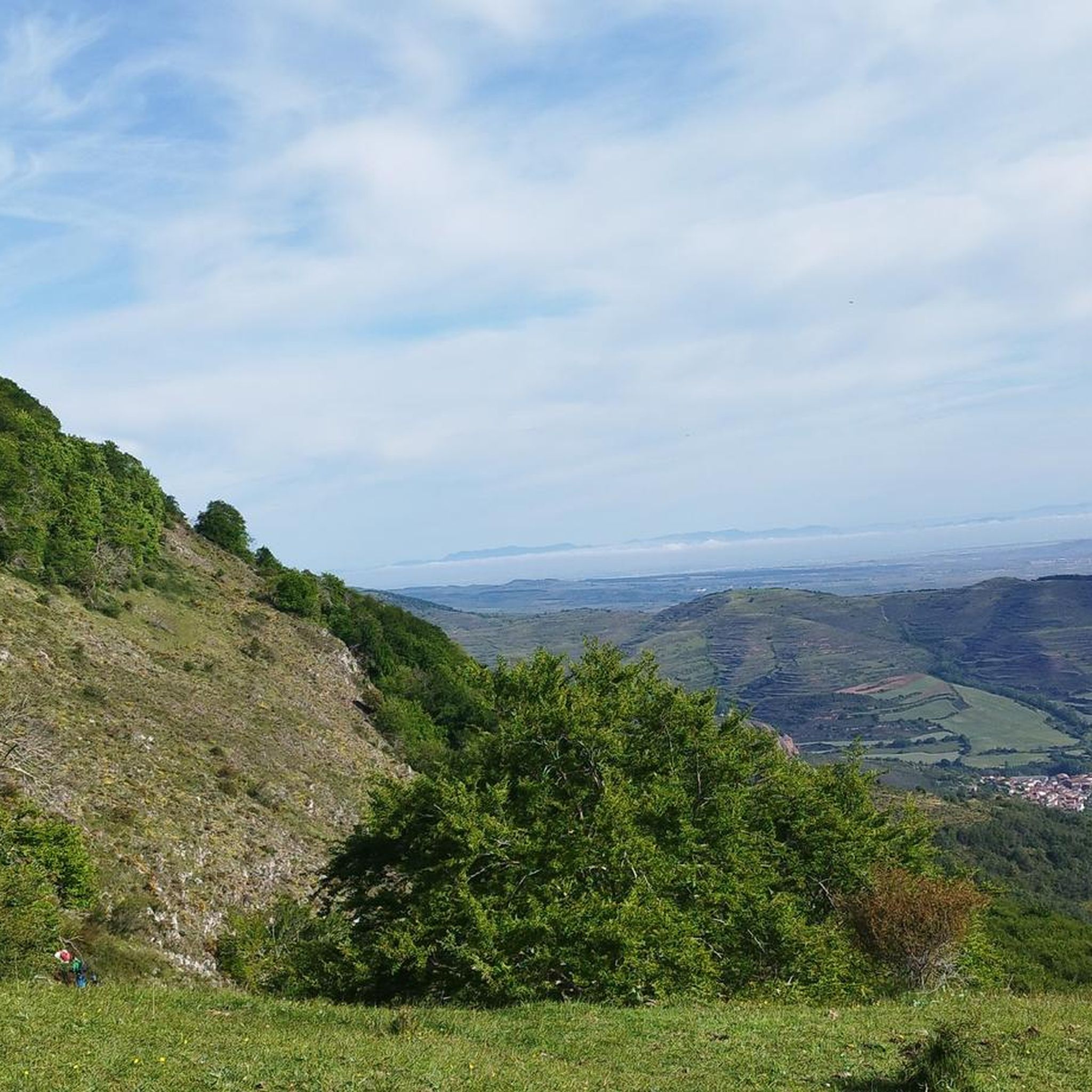
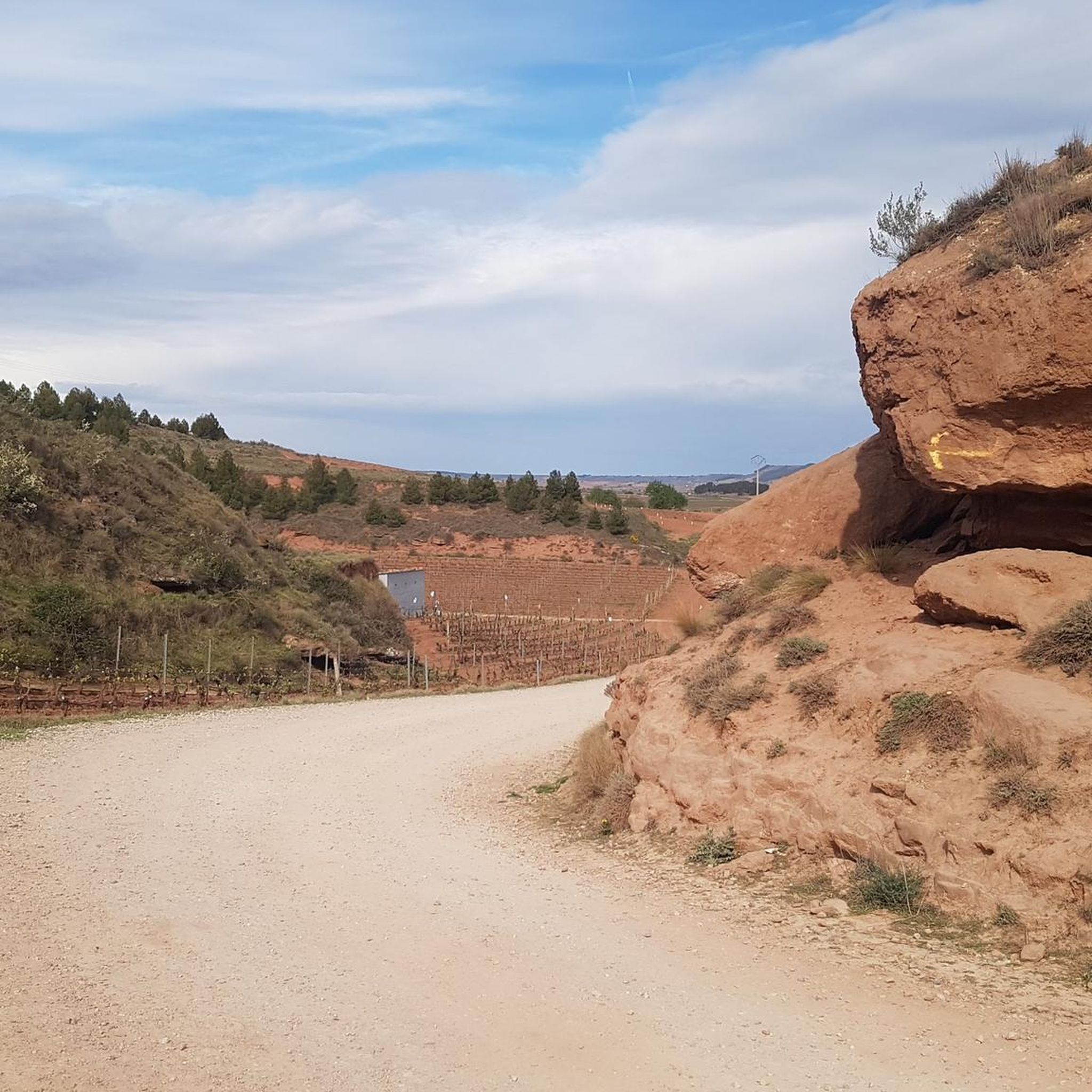
Mountain biking around Anguiano offers diverse terrain within the rugged Sierra de Cameros in La Rioja, Spain. The region features dramatic sandstone cliffs, mountains, and dense ancient oak and beech forests, providing a varied setting for outdoor activities. The Najerilla River flows alongside the town, creating scenic routes along its banks. Riders can expect varied landscapes, from challenging mountain ascents and descents to trails winding through river valleys.
Best mountain bike trails around Anguiano
- The most popular mountain bike trail…
Last updated: June 28, 2026
5.0
(1)
3
riders
55.8km
05:31
1,810m
1,810m
Hard mountain bike ride. Very good fitness required. Advanced riding skills necessary.
1
riders
36.0km
03:45
1,170m
1,160m
Hard mountain bike ride. Very good fitness required. Advanced riding skills necessary.

Sign up for free
31
riders
42.6km
04:43
1,360m
1,360m
Hard mountain bike ride. Very good fitness required. Advanced riding skills necessary.
18
riders
53.4km
05:45
1,550m
1,550m
Hard mountain bike ride. Very good fitness required. Advanced riding skills necessary.
4.0
(1)
10
riders
44.2km
04:42
1,320m
1,320m
Hard mountain bike ride. Very good fitness required. Suitable for all skill levels.
Get access to more routes and recommendations from other explorers.
Sign up for free
Already have an account?
Our route recommendations are based on thousands of hikes, rides, and runs completed by other people on komoot.
Start today with a free account
Your next adventure awaits.
Login or Signup
Popular around Anguiano
Mountains, valleys and trails in La Rioja – GR 93 by e-bike
Passes and dinosaur footprints – Spain’s Sierras Riojanas (GR 93)
In the mountains of La Rioja – Iberian High Valleys trail (GR 190)
Road Cycling Routes around Anguiano
Cycling around Anguiano
Hiking around Anguiano
Running Trails around Anguiano
Other adventures around Anguiano


Tips from the Community

Asphalt forest track to the Bonicaparra refuge. A very nice climb, especially recommended in autumn when the beech forest is bursting with colour.
0
0

Small village that in 2022 had only 17 inhabitants. It is located in the Camero Nuevo region. Its parish church of Nuestra Señora de la Asunción houses a Baroque altarpiece and a Gothic crucifix from the 14th century.
0
0
Small village of about 70 inhabitants. Two pilgrimages are held every year in the Lollano hermitage: the first Sunday in June and the last Sunday in September.
0
0
One of the most beautiful mountain villages in the Cameros region. Filled with stone houses, it is located on the slopes of a natural canyon, the Encinedo massif. This ravine was formed through a karstic process that gave rise to several chasms and caves. Two of them can be visited, the one in La Paz and the one in La Villa.
1
0

This refuge is located at the end of the paved track that goes up the Cárdenas river valley from San Millán de la Cogolla. The shelter has two rooms, one of them having a fireplace and a table. It is a usual starting point for the ascent to the San Lorenzo peak, summit of the Sierra de la Demanda and the highest point in La Rioja.
2
0

Singular tree of the CCAA, quite deteriorated but enduring the passing of the years.
1
0
Important town of the region of Cameros.
1
0

The port of Peña Hincada has good asphalt and horizontal signage. It is a road with little vehicle traffic. Shadows abound up to Brieva to disappear from that core to the top, totally stark in its most demanding part. Be very careful if it is done in winter, check the weather beforehand.
1
0
Frequently Asked Questions
What types of mountain bike trails can I expect around Anguiano?
Anguiano offers a diverse range of mountain bike trails, characterized by the rugged Sierra de Cameros. You'll find routes with significant elevation changes, winding through ancient oak and beech forests, and along the scenic Najerilla River valleys. The terrain includes imposing sandstone cliffs and mountainous backdrops, providing both challenging ascents and rewarding descents.
How many mountain bike trails are available in the Anguiano area?
There are over 50 mountain bike trails around Anguiano documented on komoot. These routes cater to various skill levels, with a significant number of moderate and difficult options for experienced riders.
Are there mountain bike trails suitable for beginners or families in Anguiano?
While Anguiano is known for its more challenging terrain, with 18 moderate and 35 difficult routes, there are no specifically easy mountain bike trails listed. Families or beginners might find some sections of the moderate routes manageable, but should be prepared for varied landscapes and elevation changes. It's always best to check the route details before heading out.
What are some notable landmarks or attractions I might see on a mountain bike ride near Anguiano?
Many routes offer stunning views and pass by interesting features. You might encounter mountain passes like Peña Hincada Pass or Puerto de la Rasa (1,420 m). For a rest stop, consider routes that pass by mountain huts such as Bonicaparra Shelter or Refugio Prao Tajo, which often have recreational areas.
Are there any circular mountain bike routes around Anguiano?
Yes, many of the mountain bike routes around Anguiano are circular, allowing you to start and end in the same location. For example, the Refugio Prao Tajo, Mostajo del Río Cárdenas, Cueva del Santo – circular is a popular difficult loop, and the Olmo de El Rasillo – El Rasillo de Cameros loop from Ortigosa de Cameros also offers a challenging circular ride.
What is the best time of year for mountain biking in Anguiano?
The region's diverse landscapes are enjoyable across seasons, but spring and autumn generally offer the most pleasant conditions for mountain biking, with milder temperatures and vibrant natural scenery. Summers can be warm, especially in the river valleys, while winters might bring colder temperatures and potential snow at higher elevations in the Sierra de Cameros.
What do other mountain bikers enjoy most about the trails in Anguiano?
The mountain bike trails around Anguiano are highly rated by the komoot community, with an average score of 4.8 stars. Riders frequently praise the rugged mountain passes, the beauty of the ancient oak and beech forests, and the scenic routes along the Najerilla River valleys. The varied terrain offers a rewarding experience for those seeking adventure.
Is there parking available for mountain bikers in Anguiano?
Anguiano is a small town, and while specific dedicated mountain bike parking isn't highlighted, general parking is usually available within or on the outskirts of the village. Many routes start from or near the town, making it convenient to park and begin your ride. It's advisable to check local signage for any restrictions.
Can I reach Anguiano and the mountain bike trails using public transport with my bike?
Public transport options to Anguiano are generally limited, as it's a smaller town in a mountainous region. While some bus services connect Anguiano to larger towns in La Rioja, transporting bikes on these services can be challenging or require prior arrangement. Driving to the area is often the most convenient option for mountain bikers with their equipment.
Are there any moderate difficulty mountain bike trails in Anguiano?
Yes, Anguiano offers 18 mountain bike routes classified as moderate difficulty. An example is the El Rasillo de Cameros loop from Nieva de Cameros, which covers 27.2 km and has an elevation gain of around 691 meters, making it a good option for riders looking for a less intense but still engaging experience.
What kind of elevation changes can I expect on Anguiano's mountain bike trails?
The trails around Anguiano feature significant elevation changes due to the mountainous terrain of the Sierra de Cameros. For instance, the difficult Valdezcaray, San Millán de la Cogolla – circular por Mostajo del Río Cárdenas route involves over 1800 meters of ascent and descent, providing a challenging workout and panoramic views.
Are there any long-distance mountain bike routes near Anguiano?
Yes, some routes offer substantial distances for endurance riders. The Los Peñuejos Rock Formations – View of the Islallana Cliffs loop from Torrecilla en Cameros is a difficult route spanning over 88 km, offering a full day of riding through varied landscapes and past impressive rock formations.
Most popular attractions around Anguiano

Get inspired with the komoot mobile app


Explore more
Browse the best MTB trails in other regions.
