The best walks and hikes around Seira
4.5
(355)
3,452
hikers
168
hikes
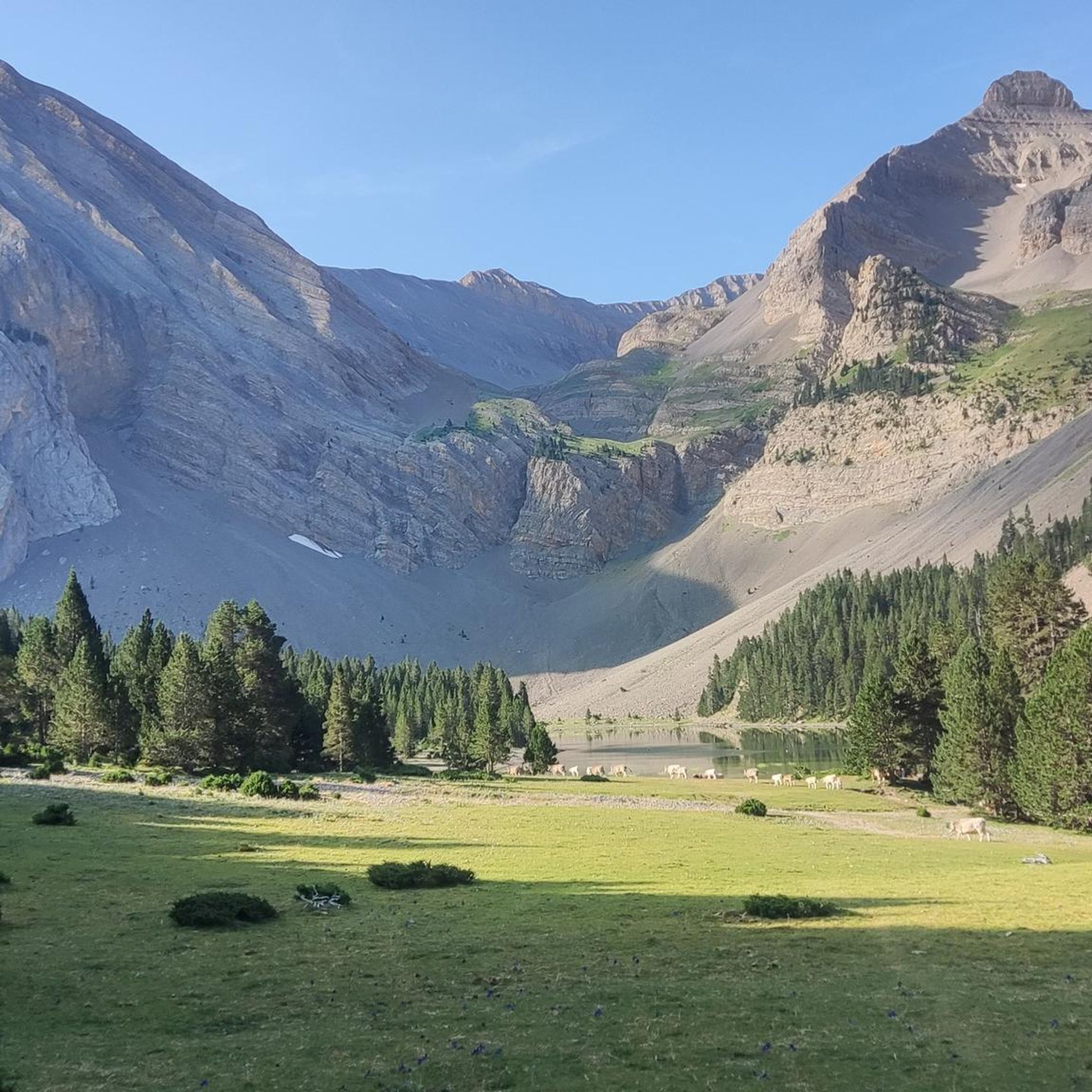
Hiking around Seira offers access to the mountainous landscapes of the Aragonese Pyrenees. The region is characterized by high peaks, alpine lakes, and forested valleys, providing a diverse environment for outdoor activities. Trails often feature significant elevation changes, leading through rugged terrain and offering expansive views. This area provides a range of hiking experiences, from challenging ascents to scenic paths alongside natural water features.
Best hiking trails around Seira
- The most popular hiking route is Ibones de Barbarisa Trail from…
Last updated: July 7, 2026
5.0
(4)
15
hikers
12.3km
05:15
720m
720m
Hard hike. Very good fitness required. Mostly accessible paths. Sure-footedness required.
5.0
(3)
13
hikers
12.2km
05:13
720m
720m
Hard hike. Very good fitness required. Mostly accessible paths. Sure-footedness required.

Sign up for free
5.0
(2)
14
hikers
16.7km
09:33
1,570m
1,570m
Hard hike. Very good fitness required. Sure-footedness, sturdy shoes and alpine experience required.
5.0
(4)
33
hikers
12.3km
05:04
700m
700m
Hard hike. Very good fitness required. Mostly accessible paths. Sure-footedness required.
4.5
(2)
17
hikers
14.3km
06:08
900m
890m
Hard hike. Very good fitness required. Mostly accessible paths. Sure-footedness required.
Get access to more routes and recommendations from other explorers.
Sign up for free
Already have an account?
Our route recommendations are based on thousands of hikes, rides, and runs completed by other people on komoot.
Start today with a free account
Your next adventure awaits.
Login or Signup

Other adventures around Seira

Tips from the Community

A legendary mountain pass in the Pyrenees. A crossing point between the Chistau and Benasque valleys, linking Sobrarbe and Ribagorza at an altitude of 2000m.
0
0

Parking at start of hike. Watch out for the high concrete edge.
0
0

Access is via forest tracks in good condition. Obviously, to reach 2000m it takes a little time but the reward is worth it: the views are magnificent over the valleys and peaks at 360 degrees. A delight !
1
0

This great waterfall in the Surri ravine drinks from the waters of the Barbarisa lakes. Located at about 1,700 meters above sea level, its staggered shape actually causes several smaller waterfalls in addition to the main one.
0
0

Here you will find a beautiful waterfall, so stop and take some photos.
0
0

This is the natural pass between the valleys of Chistau and Benasque. As such, it has been used for millennia and proof of this is the megalithic circle next to the track, which even then served to delimit border limits called "mugas".
0
0
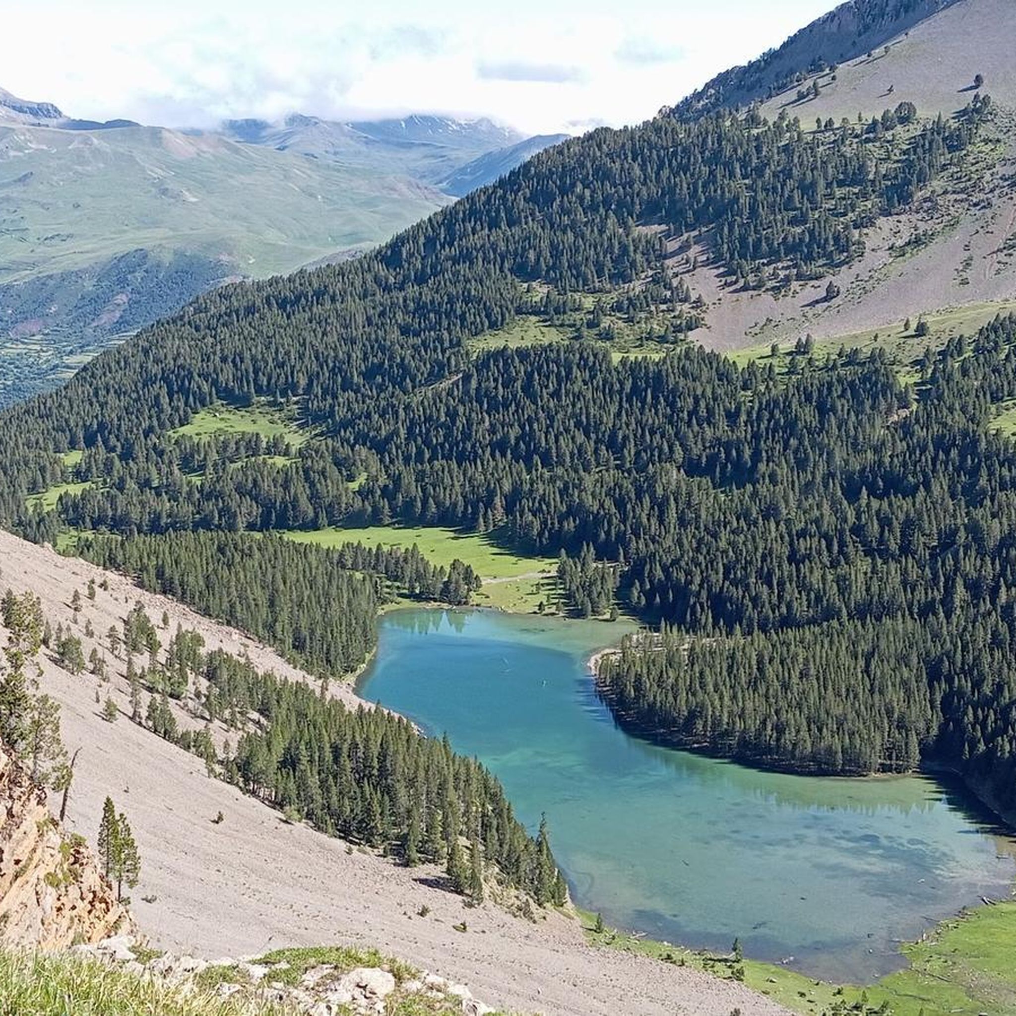
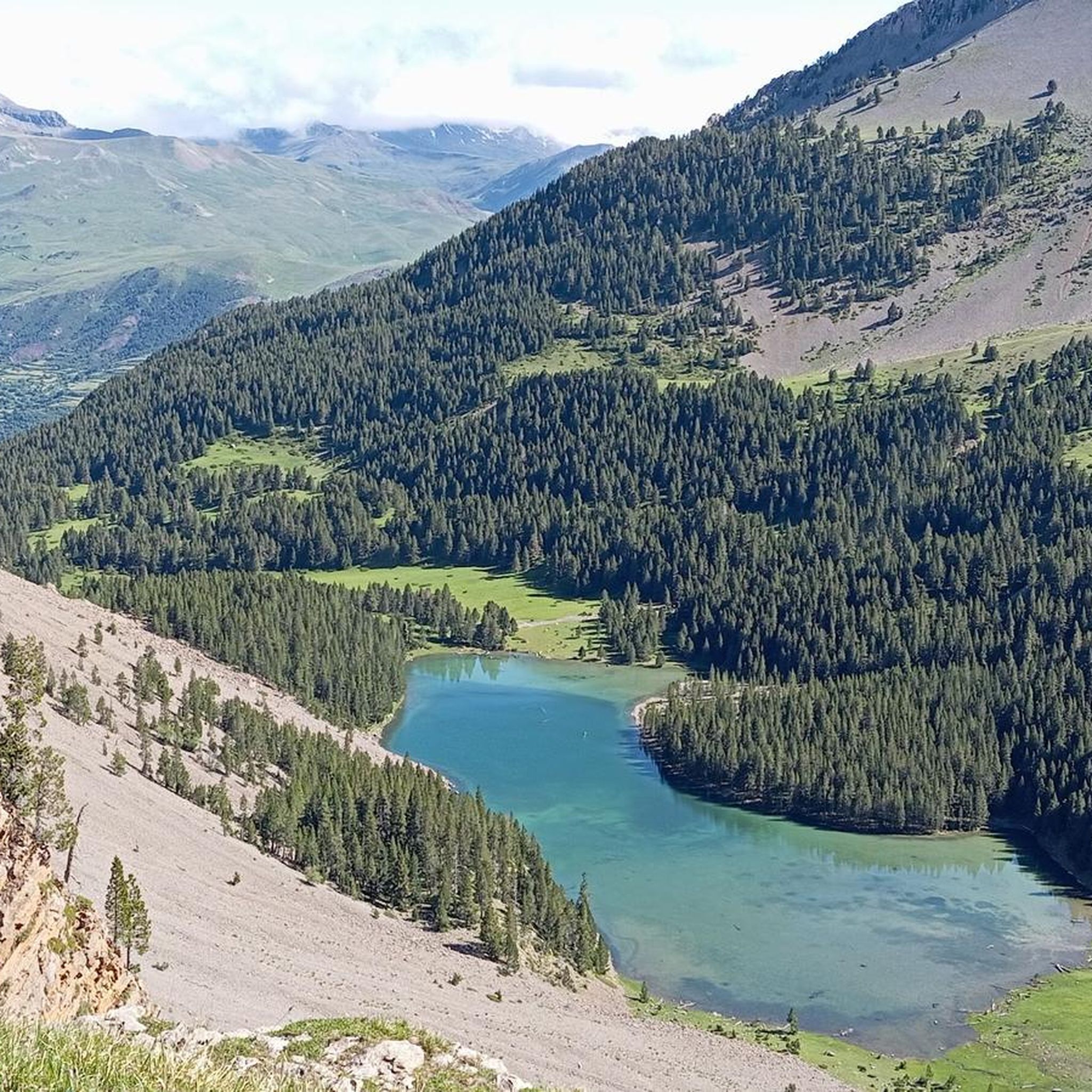
The name of these lakes, at an altitude of 2,315 m, is a good example of the richness and linguistic diversity of Aragonese, since in the Benasque valley they are called "Barbarisa" and in the neighboring Chistau valley, "Barbaricia". All the Aragonese lakes are protected by being included in the Inventory of Singular Wetlands, therefore any activity that could modify the quality of their waters is prohibited. While bathing is not specifically mentioned, it is understood that bathing with chemicals on the skin such as sunscreen, deodorant, perfume, or lotion is negatively affecting water quality, so it cannot be done. You can read the protection decree and the list of wetlands included here: https://www.aragon.es/-/humedales-de-aragon
0
0
This is the natural pass between the valleys of Chistau and Benasque. As such, it has been used for millennia and proof of this is the megalithic circle next to the track, which even then served to delimit border limits called "mugas".
0
0
Frequently Asked Questions
What kind of hiking terrain can I expect around Seira?
Hiking around Seira, located in the Aragonese Pyrenees, features mountainous landscapes with significant elevation changes. You'll encounter high peaks, alpine lakes, and forested valleys. Many routes are classified as difficult, leading through rugged terrain and offering expansive views.
Are there any circular hiking routes in Seira?
Yes, Seira offers several circular hiking routes. One popular option is the Lakes of Barbarisa and Foradet Waterfall — circular from Collado de Sahún, which is a difficult 7.6-mile (12.2 km) path featuring alpine lakes and a waterfall. Another is the Hiking loop from Puerto de Saúnc, a challenging 7.5-mile (12.1 km) route.
What are the best times of year to go hiking in Seira?
The Aragonese Pyrenees, where Seira is located, are best enjoyed for hiking during the warmer months, typically from late spring to early autumn. During this period, the weather is generally more stable, and trails are free of snow, allowing access to high mountain passes and peaks. Winter hiking is possible but requires specialized gear and experience due to snow and ice conditions.
Are there any family-friendly hiking trails in Seira?
While many routes in Seira are classified as difficult due to significant elevation changes, there are easier options available. The region offers 29 easy routes out of 149 total tours. These trails provide a gentler introduction to the area's natural beauty, suitable for families or those seeking less strenuous walks.
What natural features or landmarks can I see while hiking in Seira?
Seira's hiking trails often lead to stunning natural features. You can explore alpine lakes, such as those found on the Ibones de Barbarisa Trail from Sahún Pass. The area also features dramatic gorges and ravines like Fuen d'Aranda and Barranco Sobarriba or Ibón de Plan Ravine. Waterfalls, like the Foradet Waterfall, are also highlights on some routes.
Are there any waterfalls accessible on hikes around Seira?
Yes, you can find waterfalls on hikes around Seira. The Lakes of Barbarisa and Foradet Waterfall — circular from Collado de Sahún specifically highlights a waterfall as one of its key attractions, alongside alpine lakes.
What do other hikers say about the trails in Seira?
The hiking routes in Seira are highly regarded by the komoot community, holding an average score of 4.5 stars from over 300 reviews. Hikers often praise the challenging ascents, the beauty of the high mountain passes, and the serene glacial lakes that define the region's diverse terrain.
Are there places to stay overnight or refuges along the trails?
Yes, the Seira area provides options for overnight stays, particularly for multi-day treks. You can find several mountain refuges, such as the Ángel Orús Refuge, Lavasar Refuge, and Marradetas Refuge. These huts offer shelter and basic amenities for hikers.
How many hiking trails are there in Seira?
There are nearly 150 hiking trails available around Seira, catering to various skill levels. This includes 29 easy routes, 74 moderate, and 46 difficult trails, offering a wide range of experiences from gentle walks to challenging ascents in the Aragonese Pyrenees.
Can I reach the trailheads in Seira using public transport?
While specific public transport options to every trailhead can vary, the Aragonese Pyrenees region generally has limited public transport directly to remote trailheads. It's advisable to research local bus services or consider driving to access many of the hiking starting points around Seira. Some popular passes, like Sahún Pass, might have more accessible parking.
Are there any very challenging hikes for experienced mountaineers?
Absolutely. Seira is known for its challenging high-mountain terrain. Routes like Pico Cotiella from Barbaruens are particularly demanding, covering 10.4 miles (16.7 km) with over 1500 meters of elevation gain, often taking nearly 10 hours to complete. These trails are ideal for experienced hikers seeking significant ascents and rugged landscapes.
What are the typical durations for hikes in Seira?
Hike durations in Seira vary significantly based on difficulty and distance. Shorter, easier routes might take a couple of hours, while more challenging trails like the Ibones de Barbarisa Trail from Sahún Pass typically require around 5 hours and 15 minutes. Longer, difficult ascents such as Pico Cotiella from Barbaruens can take over 9 hours.
Most popular attractions around Seira

Get inspired with the komoot mobile app


Explore more
Browse the best Hikes in other regions.
