The best running trails around Maspujols
4.6
(110)
4,228
runners
318
runs
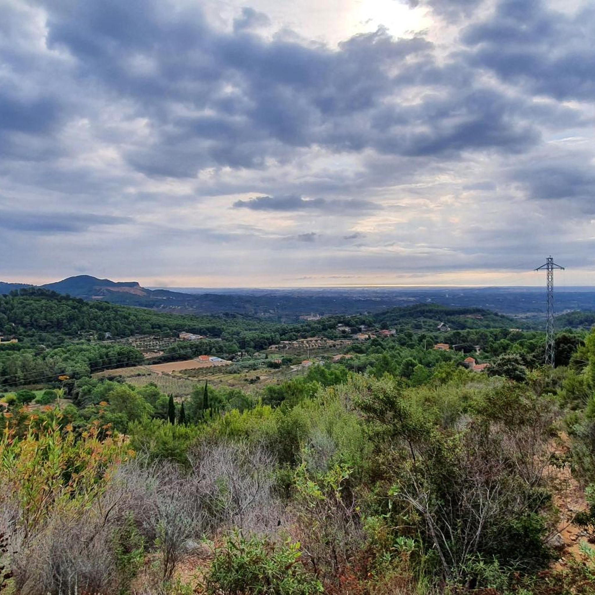
Jogging routes around Maspujols offer a diverse landscape for outdoor activity, characterized by varied terrain and notable natural features. The region presents a mix of trails, from accessible paths along natural springs to more challenging routes with significant elevation gain. Joggers can experience serene forests, open plains, and viewpoints offering panoramic vistas of the surrounding mountains.
Best jogging routes around Maspujols
- The most popular jogging route is Coll de la Batalla – Coll de la Batalla loop from l'Aleixar,…
Last updated: July 1, 2026
21
runners
13.4km
01:39
350m
350m
Hard run. Very good fitness required. Mostly paved surfaces. Suitable for all skill levels.
20
runners
11.9km
01:39
440m
450m
Hard run. Very good fitness required. Mostly paved surfaces. Suitable for all skill levels.

Sign up for free
14
runners
8.40km
01:01
140m
150m
Moderate run. Good fitness required. Mostly paved surfaces. Suitable for all skill levels.
8
runners
9.52km
01:10
160m
150m
Moderate run. Good fitness required. Mostly paved surfaces. Suitable for all skill levels.
12
runners
16.5km
02:17
640m
640m
Hard run. Very good fitness required. Mostly paved surfaces. Suitable for all skill levels.
Get access to more routes and recommendations from other explorers.
Sign up for free
Already have an account?
Our route recommendations are based on thousands of hikes, rides, and runs completed by other people on komoot.
Start today with a free account
Your next adventure awaits.
Login or Signup
Tips from the Community

I love it! The summit is approaching!
0
0

This pass can be done via Vilaplana, which is smoother, or via the other side, coming from Selva del Camp. If you go up through the Selva del Camp, it's much more difficult because there are slopes of 11%.
0
0

The climb to Coll de la Mussara or Coll de les Llebres from Vilaplana is characterized by the number of horseshoe curves (or tornanti) it has, approximately 20 curves (almost like the mythical Alpe Huez). There is an area, almost at the end of the port, where 4 horseshoe curves follow one another: this place is where you have to stop to take a good photo and keep a good memory.
1
0

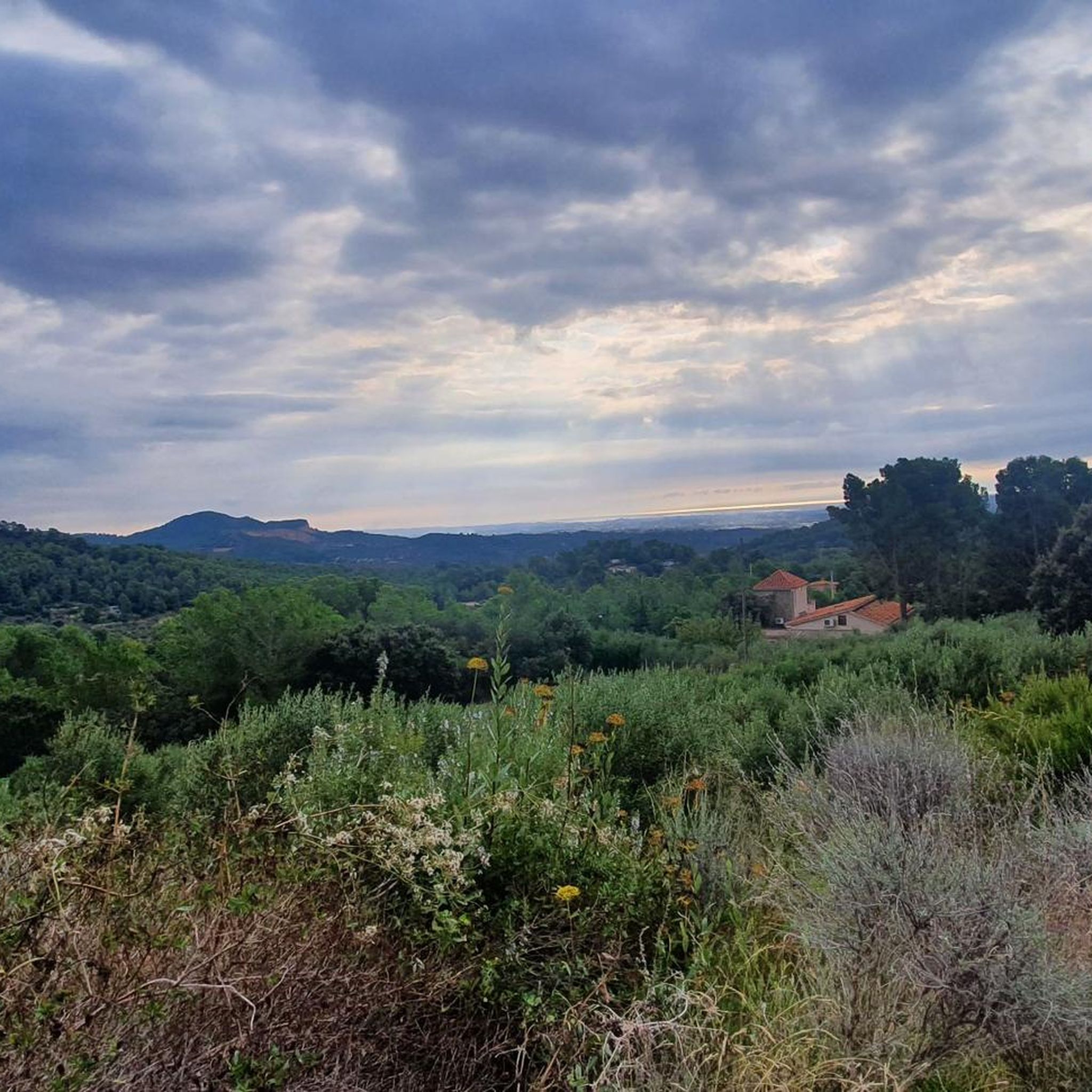
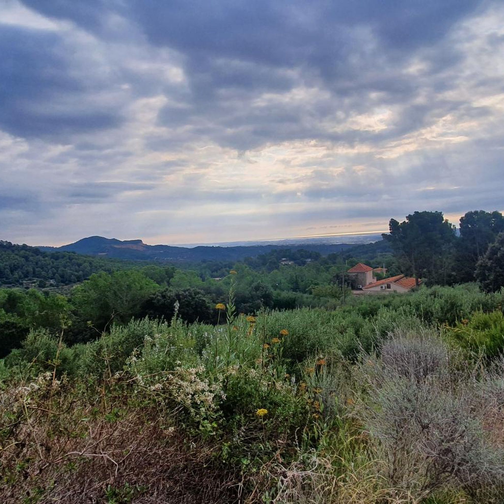
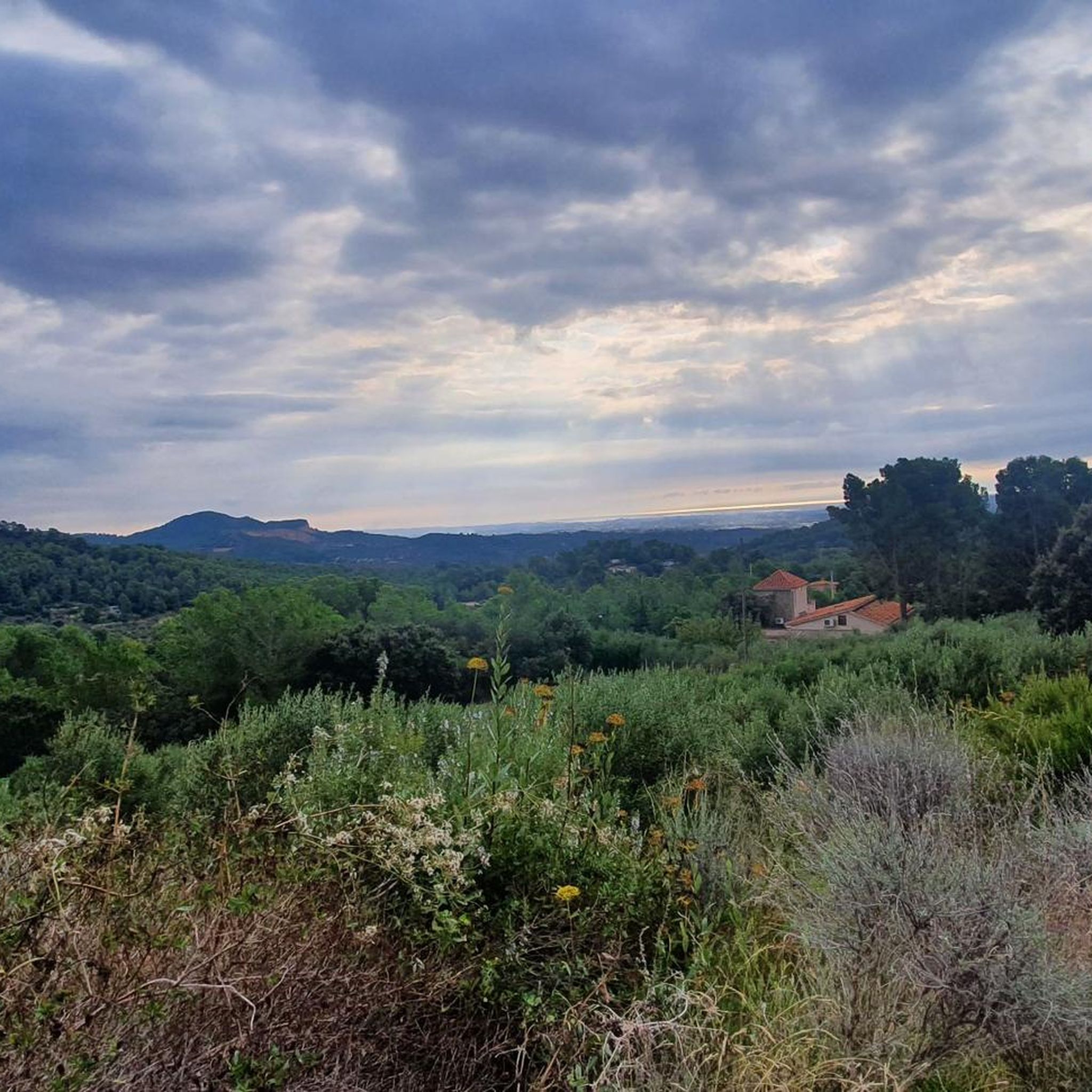
Great view to coast and all town passed through to get here
0
1

Beautiful stone bridge located a few hundred meters from the center of Vilaplana and also well preserved!
0
0
Small hill that reaches 577 meters high and where it offers good views of the northern area of this small mountain range north of Reus.
0
0


Collado located in the municipality of Aleixar, in the Baix Camp, at 450 meters of altitude. The port links the Puig d'en Cama with the Montañas de Prades.
3
0
Frequently Asked Questions
How many running routes are available around Maspujols?
Maspujols offers a wide selection of over 320 running routes. These range from easy paths to more challenging trails, ensuring options for various fitness levels and preferences.
What kind of terrain can I expect on the jogging trails in Maspujols?
The jogging trails around Maspujols feature diverse terrain. You'll find accessible paths along natural springs, serene forests like the Bosc de la Campana, open plains such as the Pla de Barenys, and more challenging ascents with significant elevation changes that lead to panoramic viewpoints.
Are there any easy running routes suitable for beginners or a relaxed jog?
Yes, Maspujols has 16 easy running routes. While specific names aren't provided here, these paths are generally less strenuous and offer a pleasant experience for beginners or those looking for a relaxed pace. The 'Riera de la Musara – Church of Maspujols loop' is mentioned as an accessible option in the region.
What are some of the more challenging running routes in the area?
For experienced runners seeking a challenge, Maspujols offers 137 difficult routes. Notable challenging options include the Coll de la Batalla – Coll de la Batalla loop from l'Aleixar, which covers 8.3 miles (13.4 km) with significant elevation, and the Puig d'en Gulló – Rocanys Viewpoint loop from l'Aleixar, a 6.9-mile (11.2 km) path offering broad views.
Are there any circular running routes in Maspujols?
Yes, many routes in Maspujols are circular, allowing you to start and end in the same location. Examples include the Pi de les Planes loop from l'Aleixar and the 'Ascent to Rocanys from the Ermita de Sant Blai', which is also a circular route offering broad views.
What natural features or landmarks can I see while running in Maspujols?
Jogging in Maspujols allows you to discover several natural features and historical elements. You might encounter the emblematic Font de la Bessona, traverse the tranquil Bosc de la Campana, or enjoy open views from the Pla de Barenys. Historical points like the 'Forn Teuler' and dry-stone huts also dot some trails. For specific natural monuments, consider exploring highlights like the Cave of the Cranes or Els Avencs de la Febró.
Are there any viewpoints along the running trails that offer scenic vistas?
Absolutely. The region is known for its scenic viewpoints. The 'Ascent to Rocabruna via the Mirador de les Muntanyes de Prades' offers panoramic vistas of the Prades Mountains. Additionally, the Puig d'en Gulló – Rocanys Viewpoint loop from l'Aleixar provides broad views towards Rocanys.
What do other runners say about the trails in Maspujols?
The running routes in Maspujols are highly regarded by the komoot community, boasting an average rating of 4.5 stars from over 100 reviews. Runners often praise the diverse terrain, the natural beauty of spots like Font de la Bessona, and the variety of options available for different ability levels.
Are the running routes in Maspujols suitable for families?
While specific family-friendly routes are not detailed, the presence of 16 easy routes suggests there are options suitable for a more relaxed pace that families might enjoy. These typically feature less elevation and more accessible paths.
Is there parking available near the trailheads in Maspujols?
While specific parking locations for each trailhead are not listed, Maspujols is generally accessible, and many routes, especially those starting from l'Aleixar, would likely have nearby parking options. It's advisable to check individual route details for precise parking information.
Can I reach the running routes using public transport?
Information on specific public transport links to trailheads is not readily available. For detailed guidance on reaching starting points via public transport, it is recommended to consult local transport schedules or specific route descriptions on komoot.
Are there any historical sites or points of interest along the routes?
Yes, some routes around Maspujols incorporate historical elements. You might come across old irrigation lands, structures like the 'Forn Teuler' which hints at the area's artisanal past, and even historical dry-stone huts, such as the Stone hut of Gàllera. For more historical sites, consider exploring highlights like the Ruins of La Mussara.
Most popular attractions around Maspujols

Get inspired with the komoot mobile app


Explore more
Browse the best Running Trails & Routes in other regions.
