The best running trails around Sariego
4.4
(27)
1,286
runners
85
runs
Jogging routes around Sariego traverse a landscape characterized by rolling hills and river valleys. The region offers a mix of terrain, from gentle riverside paths to more challenging ascents towards local peaks. Runners can expect varied scenery, including open countryside and wooded sections. The network of running trails provides diverse options for exploring the natural environment of Sariego.
Best jogging routes around Sariego
- The most popular jogging route is Peña Careses Circular Trail, a 4.7 miles (7.5 km) moderate…
Last updated: July 4, 2026
5.0
(1)
1
runners
7.54km
00:57
240m
240m
Moderate run. Good fitness required. Mostly paved surfaces. Suitable for all skill levels.
98
runners
24.9km
03:42
1,140m
1,140m
Hard run. Very good fitness required. Mostly paved surfaces. Suitable for all skill levels.

Sign up for free
34
runners
10.9km
01:14
60m
60m
Moderate run. Good fitness required. Mostly paved surfaces. Suitable for all skill levels.
5
runners
11.4km
01:18
60m
60m
Moderate run. Good fitness required. Mostly paved surfaces. Suitable for all skill levels.
15
runners
8.54km
00:58
210m
210m
Moderate run. Good fitness required. Mostly paved surfaces. Suitable for all skill levels.
Get access to more routes and recommendations from other explorers.
Sign up for free
Already have an account?
Our route recommendations are based on thousands of hikes, rides, and runs completed by other people on komoot.
Start today with a free account
Your next adventure awaits.
Login or Signup
Tips from the Community

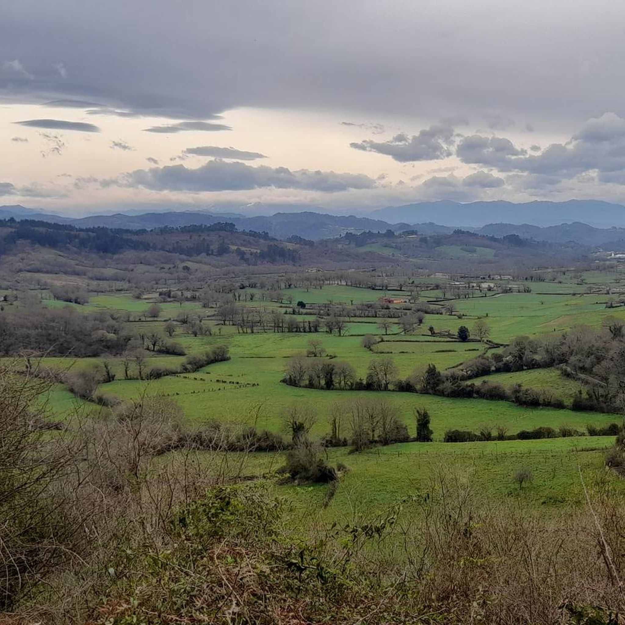
The Les Praeres pass, meaning "meadows" in Spanish, is a beautiful crossing point for the surrounding peaks. There's also a bar and restaurant with a mountain atmosphere. As if that weren't enough, there's a deer, rescued as a puppy by the bar's owner, who freely roams the area like a pet.
0
0

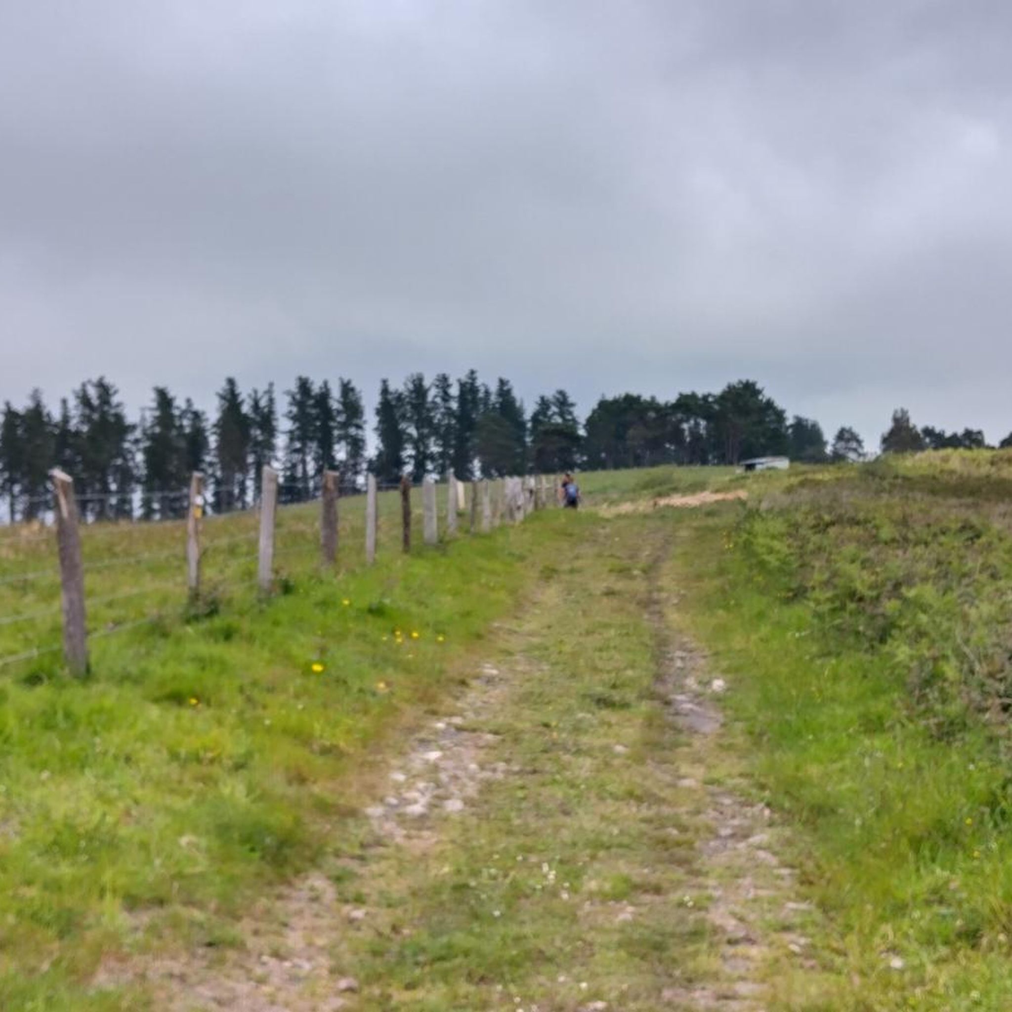
You can go through and there is an exit, although you have to go over a fence; you can also return by the same path.
0
0


Beautiful place, with impressive views and a bar where you can have a drink or something to eat.
0
0
Nava is a beautiful Asturian town with a very cheerful atmosphere and full of traditional houses and bars where you can taste all kinds of regional culinary specialties.
0
0


Known as the "wall" of Preares, this climb that gives access to the Sierra de Peñamayor awaits us with a drop of 490 m, a length of 3.8 km, an average slope of 12.89% to crown a altitude of 740 m. From this point we can continue along the dirt road until we reach the sign.
1
0

The Cueva de San Pedrín is a cave that contains rock art from the Upper Paleolithic. It has been declared a World Heritage Site by UNESCO. It can only be visited in small groups and with official guides, and measures have been taken to protect and preserve the rock art.
1
0
Frequently Asked Questions
How many running routes are available in Sariego?
Sariego offers a wide selection of running routes, with over 50 different trails to explore. These range from moderate paths to more challenging, longer distance running trails, catering to various fitness levels.
Are there any easy or beginner-friendly jogging routes in Sariego?
While Sariego's terrain is characterized by rolling hills, there are moderate options suitable for beginners. The Peña Careses Circular Trail is a moderate 4.7-mile route that offers a varied path without being overly strenuous. Another good choice is the Nora River Riverside Trail loop from Siero, which provides a relatively flat and scenic experience.
What are some longer distance running trails around Sariego?
For those seeking a longer challenge, Sariego has several difficult trails. The Peña Mayor – Pico Varallonga loop from Nava is a demanding 13.9-mile route with significant elevation gain. Another option is the Puente de Romanón loop from Lieres, which covers approximately 9.9 miles.
Are there circular running routes in Sariego?
Yes, many of the running routes in Sariego are circular, allowing you to start and finish at the same point. Popular options include the Peña Careses Circular Trail and the Cerro Gavio o Cimero loop from Caldones, both offering diverse scenery on a loop.
What kind of scenery can I expect on the running trails in Sariego?
The running trails in Sariego traverse a diverse landscape of rolling hills and river valleys. You'll encounter a mix of open countryside, dense wooded sections, and scenic riverside paths. Many routes offer views of the surrounding Asturian countryside and local peaks.
What do other runners enjoy most about jogging in Sariego?
The running routes in Sariego are highly rated by the komoot community, with an average score of 4.6 stars from over 20 reviews. Runners often praise the varied terrain, the peaceful rural landscapes, and the well-maintained paths that offer a good mix of challenge and scenic beauty.
Are there any scenic viewpoints along the jogging trails in Sariego?
Yes, the hilly terrain around Sariego provides several opportunities for scenic views. For panoramic vistas, consider routes that pass near highlights like the Pico del Sol Viewpoint or offer glimpses of peaks such as Cerro Gavío or Cimero.
Are there any interesting landmarks or attractions near the running routes?
Beyond the natural beauty, you can find historical and cultural landmarks. The Monastery of Santa María de Valdediós is a significant religious site, and the Recuna Medieval Bridge offers a glimpse into the region's past. The nearby town of Villaviciosa also has charming areas to explore.
Is Sariego a good place for winter jogging?
Sariego's climate is generally mild, but winters can bring rain and cooler temperatures. While many trails remain accessible, it's advisable to check local weather conditions before heading out. Some higher elevation routes might be more exposed or have muddier sections after heavy rain. Layered clothing and appropriate footwear are recommended.
Are the running trails in Sariego suitable for families?
Many of Sariego's moderate trails, particularly those along river valleys or through less hilly countryside, can be suitable for families. The Nora River Riverside Trail loop from Siero, with its relatively flat profile, is a good option for a family run or walk. Always consider the distance and elevation gain when choosing a route for children.
Are dogs allowed on the running trails in Sariego?
Generally, dogs are welcome on most public trails in Sariego, especially in rural areas. However, it's always best to keep them on a leash, particularly when passing through agricultural land or near livestock. Be mindful of local regulations and ensure you clean up after your pet.
What is the best time of year to go running in Sariego?
Spring and autumn are often considered the best seasons for running in Sariego. The weather is typically mild and pleasant, with lush green landscapes in spring and beautiful autumnal colors. Summer can be warm, especially in July and August, so early morning or late afternoon runs are preferable during those months.
Most popular attractions around Sariego

Get inspired with the komoot mobile app


Explore more
Browse the best Running Trails & Routes in other regions.
