The best running trails around Titulcia
5.0
(27)
575
runners
55
runs
Jogging around Titulcia offers diverse natural landscapes within the Parque Regional del Sureste, characterized by the Jarama and Tajuña rivers. The terrain includes riverine paths, distinctive cliffs like the Cortados de Titulcia, and tranquil wetlands such as Laguna de San Juan. This region provides varied running environments, from flat, accessible routes along riverbanks to more challenging paths ascending towards local hills. The area's natural features make it suitable for a range of running abilities.
Best jogging routes around Titulcia
- The…
Last updated: October 28, 2026
21
runners
18.1km
02:03
200m
200m
Hard run. Very good fitness required. Mostly paved surfaces.
9
runners
7.80km
00:51
20m
20m
Moderate run. Good fitness required. Mostly paved surfaces.

12
runners
16.9km
02:11
380m
380m
Hard run. Very good fitness required. Sure-footedness, sturdy shoes and alpine experience required.
8
runners
7.70km
00:53
50m
50m
Moderate run. Good fitness required. Mostly paved surfaces.
4
runners
9.07km
00:58
40m
40m
Moderate run. Good fitness required. Mostly paved surfaces.
Get access to more routes and recommendations from other explorers.
Already have an account?
Our route recommendations are based on thousands of hikes, rides, and runs completed by other people on komoot.
Start today with a free account
Your next adventure awaits.
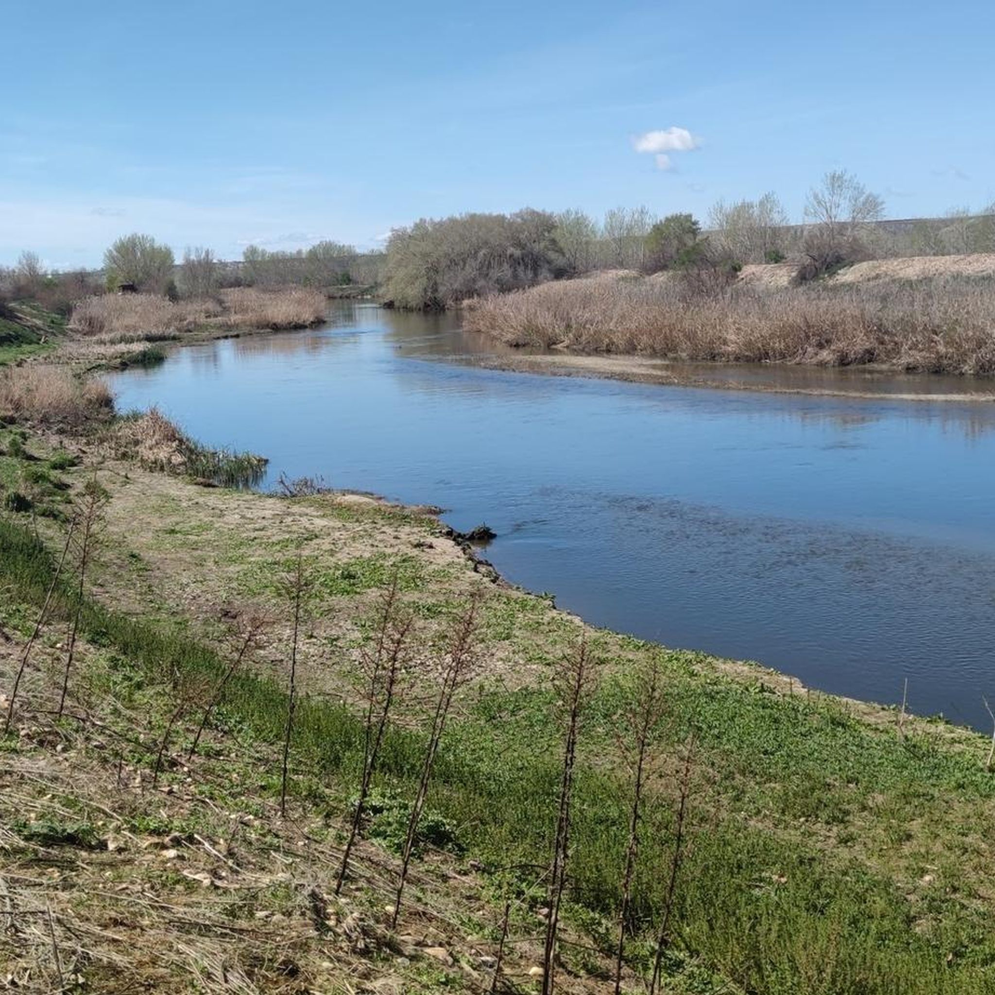
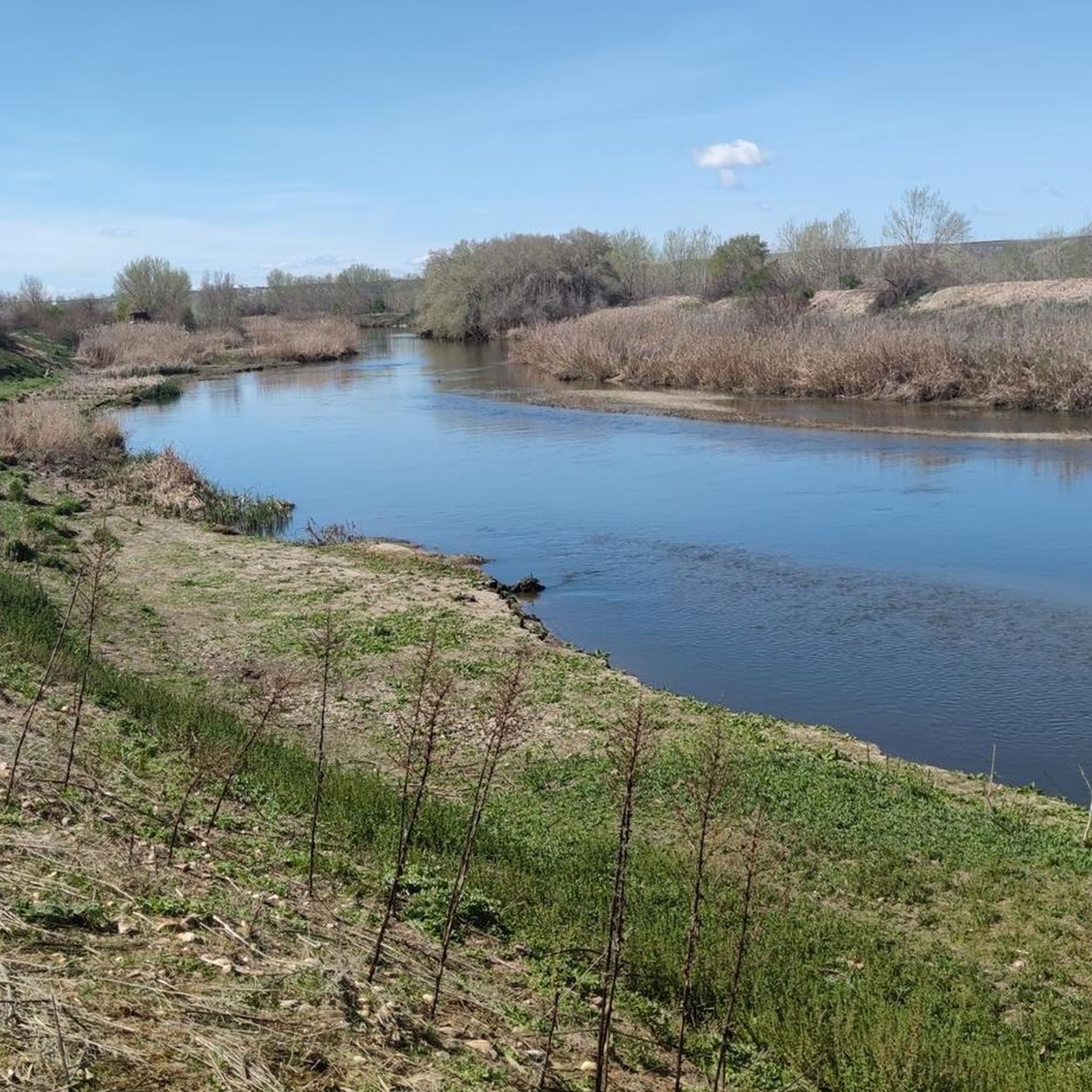
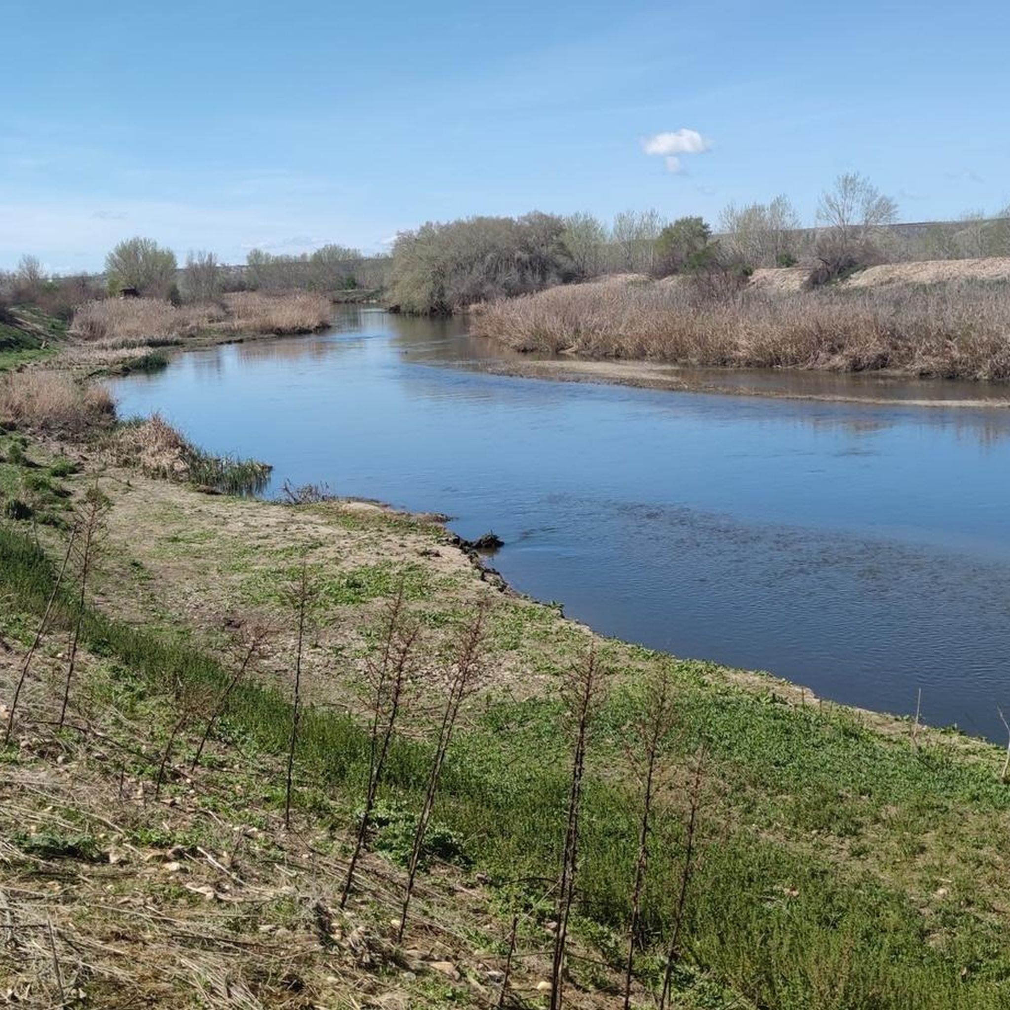
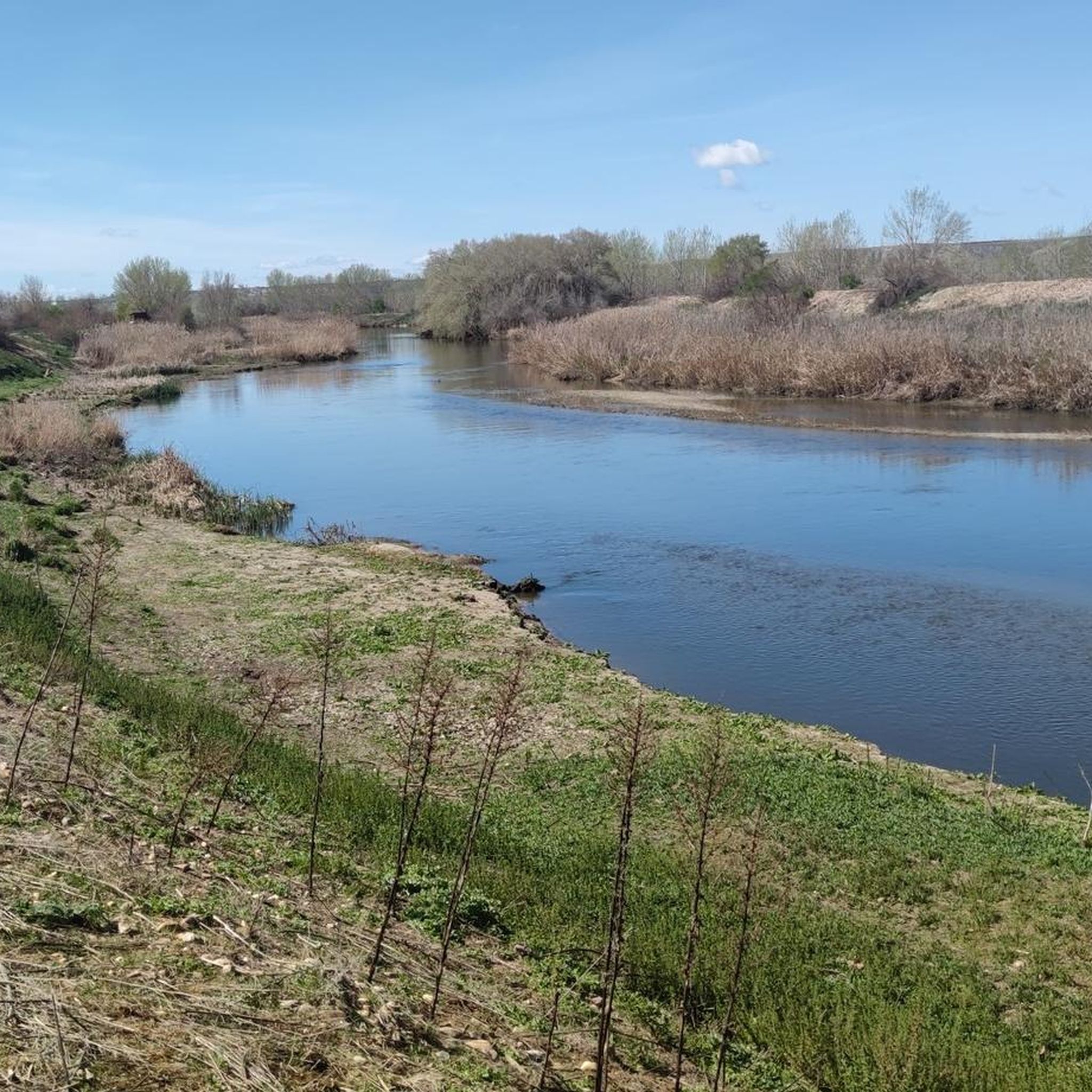

Tips from the Community

Several pleasant breakfast bars, a good option for bikers or cyclists, and the old iron bridge over the Jarama is beautiful...
0
0

A 6km dirt/gravel trail ideal for running. It has a climb of 104 meters.
1
0

Spectacular panorama that should not be missed even if we are in a hurry. Here you have to stop and look!
3
0

From the Titulcia cliffs, if you look up towards San Martín de la Vega, you can see spectacular views of the Jarama riverbed.
3
0

La Galiana crosses the Tajuña over an old medieval bridge and enters the streets of Titulcia, placed on a strategic hill of gypsum marl at the confluence of the Jarama and Tajuña rivers since Roman times. The houses are distributed on a slope, a curious place is the Cueva de la Luna, inhabited in other times by the Templars. The route leaves the town through the upper part and continues the gravel journey along the cattle track, nearby is the Oppidum archaeological site, where a plate dating back 25 centuries known as the Pátera de Titulcia was found. La Galiana is also known as Cañada de las Merinas, it goes up the edge of the Jarama gypsum cliffs towards the heights of El Pingarrón hill, which has some country houses on the sides of the ravine, and enters the territory of La Alcarria Madrid.
1
0
In the area you can enjoy a large number of birds and flora typical of the place. The hermitage of Soledad is one of the few buildings in the town that survived the Civil War. You can also see the main square with the town hall and the church of Santa María Magdalena.
1
1
In San Martín de la Vega its archaeological zones stand out. The archaeological remains found in the lands of San Martín de la Vega demonstrate the human presence since prehistoric, Roman, Visigothic and Arab times.
1
0

very good square for a snack break
2
0
Frequently Asked Questions
How many running routes are available around Titulcia?
There are over 50 dedicated running routes around Titulcia, offering a wide variety of terrains and distances within the Parque Regional del Sureste. These routes are well-loved by the komoot community, with an average rating of 4.99 stars.
Are there easy running routes suitable for beginners in Titulcia?
Yes, Titulcia offers several easy running routes perfect for beginners or those seeking a relaxed jog. The region features many flat, accessible paths, particularly along the riverbanks of the Jarama and Tajuña. For example, the Senda de Soto Bayona and Cortados de Titulcia path is known for its smooth, manageable terrain.
What are some scenic running routes with viewpoints in Titulcia?
For scenic views, consider routes that explore the Cortados de Titulcia. These distinctive cliffs provide dramatic backdrops and elevated viewpoints overlooking the Jarama riverbed. Some paths also ascend towards El Cerrón, the highest point in the municipality, offering panoramic rewards. The Altos de Gallegos – Cerros de Palomero loop from Ciempozuelos is a moderate option that offers varied terrain through the local landscape.
Are there any family-friendly jogging paths in Titulcia?
Absolutely. The Senda de Soto Bayona and Cortados de Titulcia is an excellent choice for families. This circular path is not only ideal for jogging but also accessible for individuals with reduced mobility and strollers, indicating a smooth and manageable terrain. It's equipped with sports areas, picnic spots, and play areas, enhancing the overall outdoor experience.
Can I bring my dog on the running trails in Titulcia?
Many of the natural trails and paths in the Parque Regional del Sureste are suitable for running with dogs, provided they are kept under control, especially in areas with wildlife. Always ensure to follow local regulations regarding pets in natural parks. The diverse landscapes, including riverbanks and open countryside, offer plenty of space for you and your canine companion.
What kind of natural attractions can I see along the running routes?
Titulcia's running routes are rich in natural attractions. You can explore the tranquil wetlands of Laguna de San Juan, a prime spot for birdwatching, or enjoy the scenic riverbanks of the Jarama and Tajuña. Other notable natural highlights in the area include the Laguna Seca de las Esteras and the Birdwatching Hide at San Juan Lagoons.
Are there any historical landmarks to discover while running in Titulcia?
Yes, for those interested in history, the region offers routes that pass by significant landmarks. The Battle of Jarama Route, for instance, takes you past various bunkers from the Spanish Civil War, combining exercise with a glimpse into the past. Additionally, you might encounter historical sites like Casasola Castle or the Royal Chapel of San Isidro on some routes.
Are there circular running routes available in Titulcia?
Many of the running routes around Titulcia are designed as loops, offering convenient circular options. For example, the Running loop from San Martín de la Vega is a popular 4.8-mile trail through open countryside. The Senda de Soto Bayona and Cortados de Titulcia is also a well-known circular path.
What is the best time of year for running in Titulcia?
The diverse landscapes of Titulcia make it suitable for running year-round. Spring and autumn offer pleasant temperatures and vibrant scenery. Summer mornings and evenings are ideal to avoid the midday heat, while winter running can be refreshing, especially along the riverbanks or through the steppe hills, provided you dress appropriately for cooler conditions.
How long are the running trails near Titulcia?
The running trails near Titulcia vary significantly in length. You can find shorter routes, like the Cerros de Palomero loop from Ciempozuelos at approximately 4.8 miles (7.7 km), or longer, more challenging options such as the Camino to San Martín de la Vega loop from Ciempozuelos, which spans about 11.3 miles (18.1 km).
Are there any running routes with significant elevation changes for a more challenging workout?
Yes, for those seeking a more challenging run, Titulcia offers routes with notable elevation changes. Paths that ascend towards El Cerrón, the highest point in the municipality, provide excellent uphill workouts. The Camino to San Martín de la Vega loop from Ciempozuelos is classified as difficult and features significant elevation changes and expansive views.
What do other runners enjoy most about jogging in Titulcia?
The komoot community highly rates the running experience in Titulcia, with an average score of 4.99 stars from over 30 reviews. Runners often praise the region's diverse natural landscapes, from tranquil riverine paths to distinctive cliffs and wetlands. The variety of routes, catering to different abilities, and the opportunity to immerse oneself in nature and history are frequently highlighted.
Most popular attractions around Titulcia

Get inspired with the komoot mobile app


Explore more
Browse the best Running Trails & Routes in other regions.
