The best running trails around Vallejera De Riofrío
379
runners
55
runs
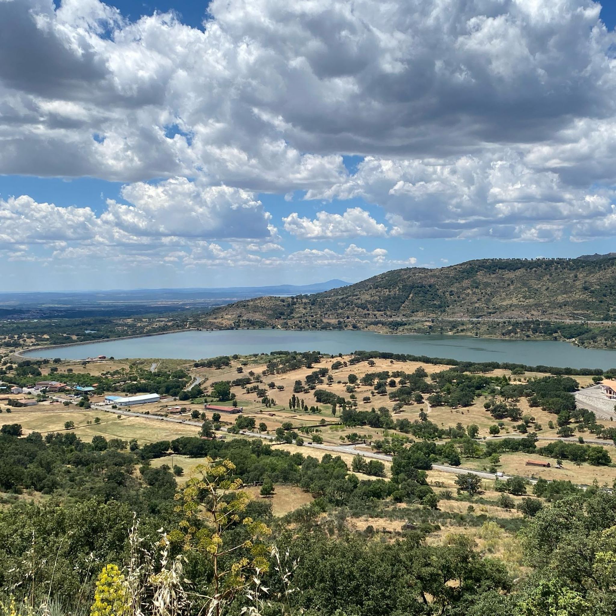
Jogging routes around Vallejera de Riofrío are set within the Sierra de Béjar mountains, offering varied terrain for runners. The region is characterized by deciduous forests, including oaks, pines, ash trees, and a high density of chestnut trees, providing shaded paths. Situated at an altitude of 1,240 meters, the area provides panoramic views of the mountain range, with Monte Cabeza Gorda reaching 1,523 meters. This natural environment supports a network of trails suitable for running.
Best jogging routes around Vallejera…
Last updated: July 11, 2026
23
runners
16.3km
01:59
660m
660m
Hard run. Very good fitness required. Sure-footedness, sturdy shoes and alpine experience required.
16
runners
18.0km
01:59
380m
380m
Hard run. Very good fitness required. Mostly paved surfaces. Suitable for all skill levels.

Sign up for free
21
runners
42.2km
07:06
2,160m
2,160m
Hard run. Very good fitness required. Sure-footedness, sturdy shoes and alpine experience required.
18
runners
14.8km
01:54
510m
510m
Hard run. Very good fitness required. Mostly paved surfaces. Suitable for all skill levels.
8
runners
30.1km
05:00
1,600m
1,600m
Hard run. Very good fitness required. Sure-footedness, sturdy shoes and alpine experience required.
Get access to more routes and recommendations from other explorers.
Sign up for free
Already have an account?
Our route recommendations are based on thousands of hikes, rides, and runs completed by other people on komoot.
Start today with a free account
Your next adventure awaits.
Login or Signup

Tips from the Community

Regarding its history, the cross is a traditional symbol often associated with popular religiosity and the protection of the people. Although there is not much specific historical documentation about this cross, in Candelario it is common to find elements linked to Christian tradition, given that the municipality has a strong cultural and religious identity, also reflected in its festivals and architecture.
1
0
The Cross in Candelario Park is located in the municipality of Candelario, in the province of Salamanca (Castilla y León), within the town's Municipal Park. This park is a green space frequently visited by locals and tourists, and the cross is one of its most distinctive features, situated in an elevated area that offers views of the surrounding area.
1
0

The bullring of the city of Béjar, in the province of Salamanca (Spain), better known as La Ancianita, is the oldest bullring preserved in Spain, inaugurated in 1711.2 Located on the Castañar mountain next to the Sanctuary of the Virgen del Castañar, two kilometers from Béjar.3
0
0

Old power plant that used the current of the waters of the Río Cuerpo del Hombre to create electricity. Its walls are currently there.
0
1
At a distance of just 2 km from the Collado de Los Buitres mountain pass, a good area to enjoy nature and breathe fresh air.
7
0

Béjar is a Historical-Artistic city with many important buildings and monuments along narrow streets and large squares. The jewel is the Ducal Palace Palace from the 16th century belonging to the order of the Zúñiga family. Stop at the Plaza Mayor for a drink and a bite to eat.
1
0
Section of road that is located at 1080 meters and where it is possible to make a stop and refill the water bottle. If necessary, rest a bit...
0
0
Altimetry: El Alto del Travieso is a port with very constant slopes and hardly any rest. In fact, we have 11 km with average inclines greater than 7%, although we will not find double-digit inclines on average. This is a tough climb, but without a maximum level of demand, which I consider highly recommendable.
0
0
Frequently Asked Questions
How many running routes are available around Vallejera de Riofrío?
There are over 50 running routes available in the Vallejera de Riofrío area, offering a wide variety of options for all skill levels. The region is particularly known for its challenging trails, with 41 routes rated as difficult.
What kind of terrain can I expect on the jogging trails in Vallejera de Riofrío?
The jogging trails around Vallejera de Riofrío are characterized by mountain landscapes and deciduous forests. You'll find varied terrain, including shaded paths through dense oak, pine, ash, and chestnut trees, as well as routes offering panoramic views of the Sierra de Béjar mountain range.
Are there any easy running routes suitable for beginners or families?
While many routes in the area are challenging, there is at least one easy route available. The region's extensive network of over 80 hiking trails also means many paths can be adapted for a gentler running experience, especially for beginners or families looking for a less strenuous jog.
Which routes offer the best panoramic views?
Many routes in the area provide stunning panoramic views due to Vallejera de Riofrío's altitude of 1,240 meters. For specific viewpoints, consider routes that pass by areas like the Ventorro Pelayo Viewpoint. One such route is the Plaza Mayor of Béjar – Ventorro Pelayo Viewpoint loop from Béjar, which is a difficult 18.8 km path.
Are there any circular running routes in the area?
Yes, many of the running routes around Vallejera de Riofrío are circular. For example, the La Ancianita bullring – Views on the embalse de Navamuño loop from Béjar is a popular 16.3 km circular trail offering reservoir views.
What natural landmarks or attractions can I see while running?
The region is rich in natural beauty. You can explore various mountain passes and peaks. Notable highlights include Puerto del Tremedal, Travieso Pass, and Puerto de Vallejera. For peaks, consider routes near Peña Negra Summit or Calvitero Peak.
What is the best time of year to go running in Vallejera de Riofrío?
The best time depends on your preference. Summers are hot and dry, ideal for early morning or late evening runs. Winters are very cold and rainy, with abundant snowfall, offering a unique challenge for experienced winter runners. Spring and autumn provide milder temperatures and lush scenery, making them excellent choices for most runners.
Are there any particularly challenging routes for experienced runners?
Absolutely. Vallejera de Riofrío is known for its difficult routes. One such challenging option is the Canchal de la Ceja – Torreón (Calvitero Summit) loop from Béjar, a demanding 42.2 km trail with significant elevation changes, perfect for advanced runners seeking a long-distance challenge.
Is there parking available near the trailheads?
While specific trailhead parking details vary by route, Vallejera de Riofrío is well-suited for rural tourism, and many trail networks typically have designated parking areas or roadside spots available, especially given the village's focus on outdoor activities. It's advisable to check individual route descriptions for precise parking information.
Can I reach the running routes using public transport?
Vallejera de Riofrío is connected by the Ruta de la Plata highway, which facilitates access to the area. While direct public transport to every trailhead might be limited, local bus services often connect the village with nearby municipalities like Béjar, from where many routes originate. Planning ahead and checking local transport schedules is recommended.
What do other runners say about the trails in Vallejera de Riofrío?
Over 380 runners have explored the trails around Vallejera de Riofrío using komoot. They often praise the diverse mountain landscapes, the peaceful deciduous forests, and the rewarding panoramic viewpoints. The variety of terrain, from shaded paths to challenging ascents, is frequently highlighted as a key attraction.
Are there any routes that pass through or near traditional villages?
Yes, some routes connect to or pass near charming local villages. For instance, the Ventorro Pelayo Viewpoint – Calle Mayor de Pardinas loop from Béjar is a 14.4 km trail that offers varied terrain and may provide glimpses of the local architecture and rural life as it passes through different areas.
What are the elevation gains like on the running routes?
The running routes in Vallejera de Riofrío, being in the Sierra de Béjar mountains, often feature significant elevation gains. For example, the Cruz del Herrerito – Candelario Town Hall loop from Béjar, a 30.2 km route, involves over 1600 meters of ascent, making it a demanding option for those looking for a serious workout.
Most popular routes around Vallejera De Riofrío
Most popular attractions around Vallejera De Riofrío

Get inspired with the komoot mobile app


Explore more
Browse the best Running Trails & Routes in other regions.
