The best walks and hikes around Bentarique
4.8
(53)
188
hikers
10
hikes
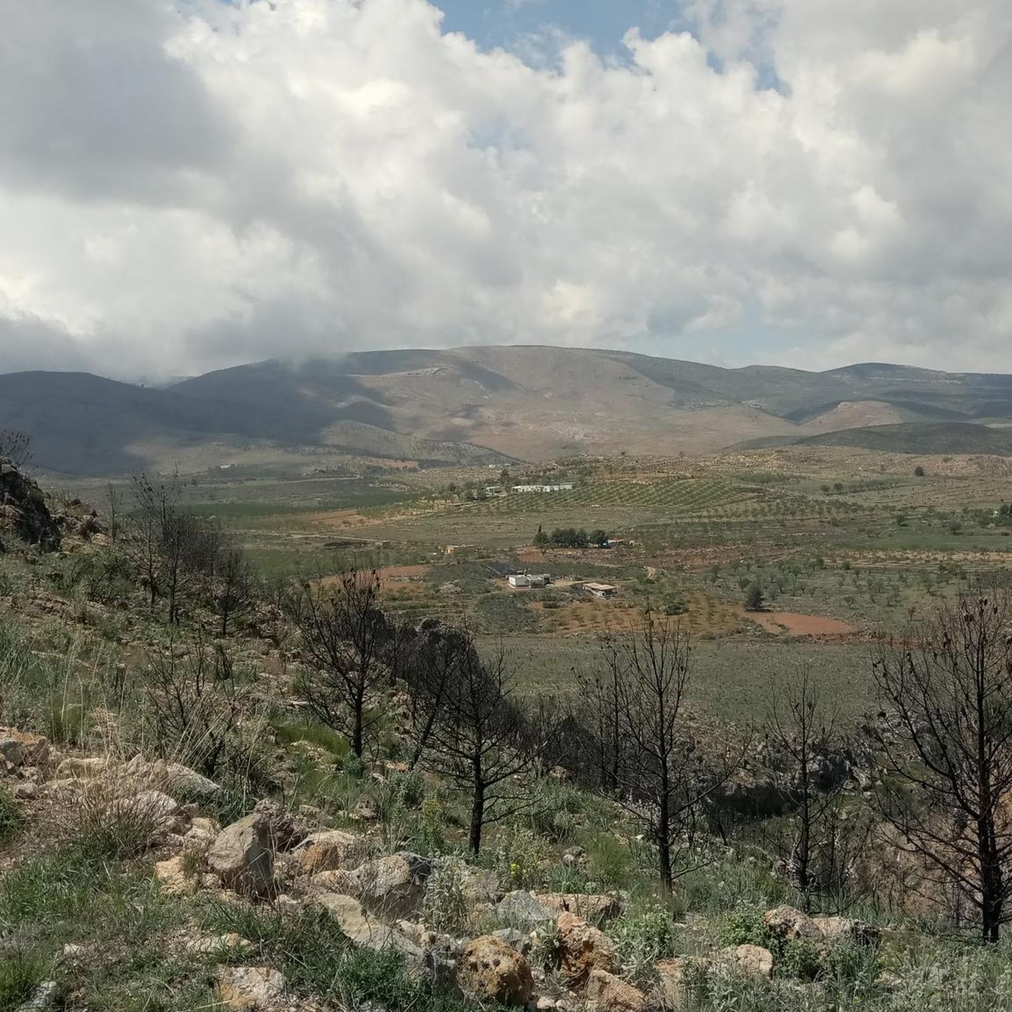
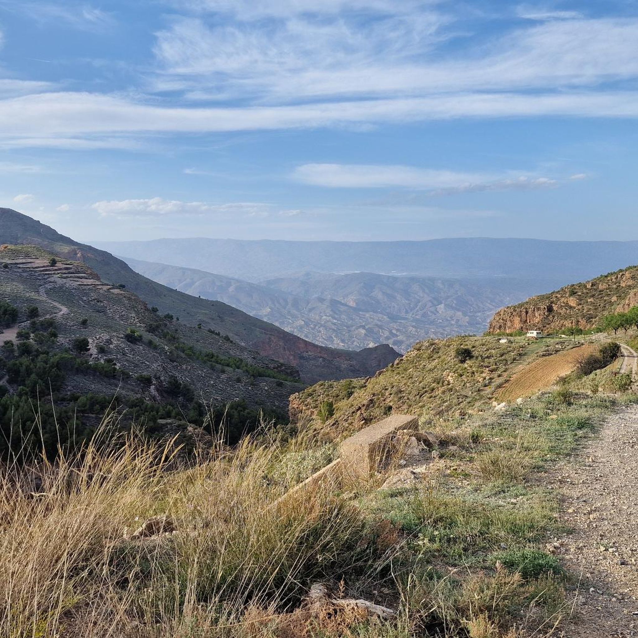
Hiking around Bentarique offers diverse terrain, from the fertile Andarax River valley to semi-desert ravines and the foothills of the Sierra de Gador. The region is characterized by lush agricultural areas with vines, citrus, and fruit trees along the riverbanks, contrasting with more arid, rugged landscapes further afield. Hikers can explore a blend of cultivated terraces and natural features, providing varied experiences. This area serves as a base for exploring the wider network of trails in the Alpujarra Almeriense.
Best…
Last updated: October 21, 2026
4.7
(11)
45
hikers
Moderate hike. Good fitness required. Easily walkable paths.
4.7
(32)
87
hikers
8.59km
02:46
370m
370m
Moderate hike. Good fitness required. Easily walkable paths.

9
hikers
5.63km
01:36
130m
130m
Easy hike. Easily walkable paths.
4.3
(3)
9
hikers
4.70km
01:30
200m
200m
Easy hike. Easily walkable paths.
5.0
(2)
11
hikers
3.88km
01:28
270m
270m
Easy hike. Easily walkable paths.
Get access to more routes and recommendations from other explorers.
Already have an account?
Our route recommendations are based on thousands of hikes, rides, and runs completed by other people on komoot.
Start today with a free account
Your next adventure awaits.
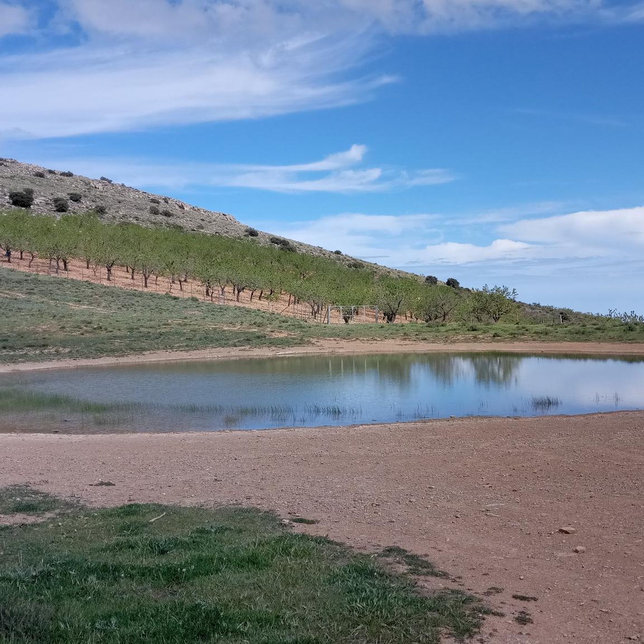
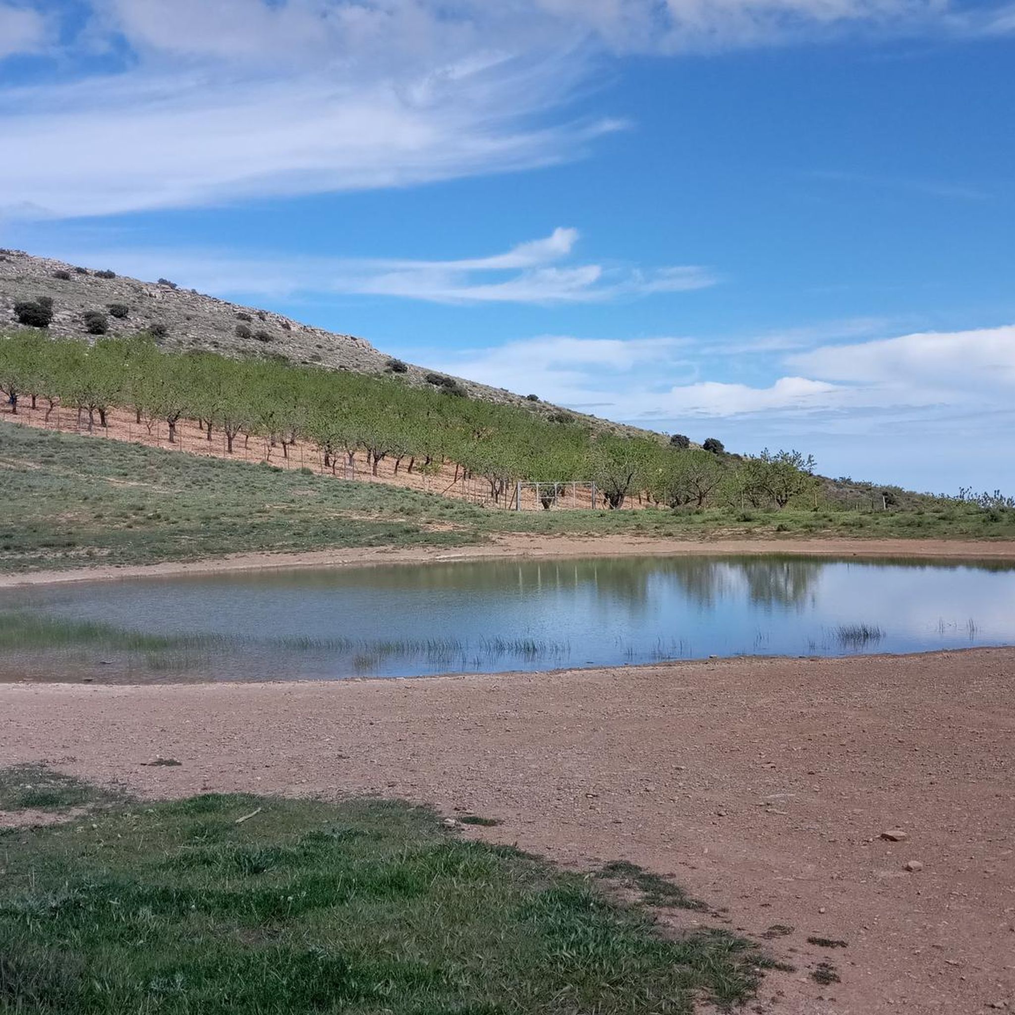

Tips from the Community

A beautiful rock formation with a stunning panoramic view; a must-see highlight for every nature lover.
0
0

The totem is worth seeing, beautifully made, placed in the rock, recommended. We also liked the path there, steep and easy to walk.
0
0

The village with about 700 inhabitants is situated on the river, in a beautiful place surrounded by large rocks and hills that, together with the white houses of Arab origin in terraces and the orchards, form a beautiful sight. The parish church is worth mentioning.
0
0

A few remains from the late Bronze Age (approx. 6th century BC) have been found in the municipality; Roman and Visigothic traces are lacking. It can be assumed that Berbers from the Maghreb were the actual founders of the town in the 8th century. The town was reconquered by the Christians at the end of the 15th century (reconquista), but was briefly given as a fief to the last Emir of Granada, Boabdil. Many Moors from the south of Spain retreated to the remote mountains of the Alpujarras during this period; isolated attempts at final Christianization failed, but after the Moorish uprisings of 1499 to 1501 and 1568 to 1571, the last Muslims were expelled or resettled at the beginning of the 17th century.
6
0


balsica salobre- please stay out of it. please do not touch the "mini-river".
1
0

Alboloduy is one of those charming white villages characteristic of Andalusia. Its bright houses are located in the Nacimiento river ravine and create a beautiful contrast with the dark tones of the rocky slopes.
4
0

Frequently Asked Questions
How many hiking trails are available around Bentarique?
There are over 7 hiking trails around Bentarique, offering a variety of experiences from easy village loops to more challenging mountain excursions. The region's diverse terrain, from the fertile Andarax River valley to the foothills of the Sierra de Gádor, ensures a suitable route for most hikers.
What is the best time of year to go hiking in Bentarique?
Bentarique benefits from a pleasant Mediterranean climate, with hot, dry summers and mild winters. This makes it suitable for outdoor activities for much of the year. Spring and autumn generally offer the most comfortable temperatures for hiking, while winter can be mild, and summer might be best for early morning or late afternoon hikes to avoid the heat.
Are there any easy or family-friendly hiking trails in Bentarique?
Yes, Bentarique offers several easy routes suitable for families. A great option is the Félix Parking Area – Sierra de Gádor loop from Felix, an easy 3.5 miles (5.6 km) trail that takes about 1 hour 36 minutes. Another easy choice is the Alboloduy Village and Church – Alboloduy loop from Alboloduy, which is 4.7 miles (4.7 km) long.
What kind of landscapes can I expect to see on hikes around Bentarique?
Hiking around Bentarique offers a blend of diverse landscapes. You'll find fertile valleys along the Andarax River with vineyards, citrus groves, and fruit orchards, contrasting with more arid, rugged semi-desert ravines and the low to moderate mountains of the Sierra de Gádor. The region also features striking 'badlands' with unique erosional landforms.
Are there any circular hiking routes in the Bentarique area?
Yes, many of the trails around Bentarique are circular, allowing you to start and end in the same location. A popular moderate circular route is Cañada de los Arquillos y Cordel de la Solana – circular desde Alboloduy (PR-A 16), which covers 7.7 miles (12.3 km). Another great loop is Felix – Fuente del Lentisco loop from Felix, a moderate 5.3 miles (8.6 km) path.
What are some notable natural attractions or points of interest to explore?
The region boasts several natural highlights. The Canales de Padules is a spectacular 2-kilometer gorge with natural pools and waterfalls. You can also visit La Balsa de la Chanata, a mountain lagoon in the Sierra de Gádor, or explore the unique erosional landscape of Rambla de los Yesos.
Are dogs allowed on the hiking trails in Bentarique?
While specific regulations can vary by trail and protected area, generally, dogs are welcome on many hiking trails in the Bentarique region, especially on less crowded paths. It's always advisable to keep them on a leash, especially in natural parks like the Sierra Nevada, to protect wildlife and ensure a pleasant experience for all hikers. Please check local signage for any specific restrictions.
Are there any trails with waterfalls or natural pools?
Yes, the Canales de Padules is a prime location for experiencing natural pools and cascading waterfalls. The Andarax River has carved a stunning gorge here, making it a refreshing spot to visit, particularly during warmer months.
What do other hikers say about the trails around Bentarique?
The hiking trails around Bentarique are highly rated by the komoot community, with an average score of 4.8 stars from over 50 reviews. Hikers often praise the diverse scenery, from lush river valleys to rugged mountain foothills, and the variety of routes suitable for different ability levels.
Is parking available at the trailheads?
Many trailheads in the Bentarique area, especially those starting from villages or popular natural sites, offer designated parking areas. For example, the Félix Parking Area – Sierra de Gádor loop from Felix explicitly mentions a parking area, making it convenient for hikers arriving by car.
What is the typical duration and difficulty of hikes in this area?
Hikes around Bentarique vary in duration and difficulty. You can find easy trails like the Félix Parking Area – Sierra de Gádor loop from Felix, which takes about 1 hour 36 minutes. Moderate routes, such as Cañada de los Arquillos y Cordel de la Solana – circular desde Alboloduy (PR-A 16), can take around 3 hours 39 minutes, often involving notable elevation gains.
Most popular routes around Bentarique
Most popular attractions around Bentarique

Get inspired with the komoot mobile app


Explore more
Browse the best Hikes in other regions.
