The best MTB trails around Almedinilla
4.2
(18)
267
riders
43
rides
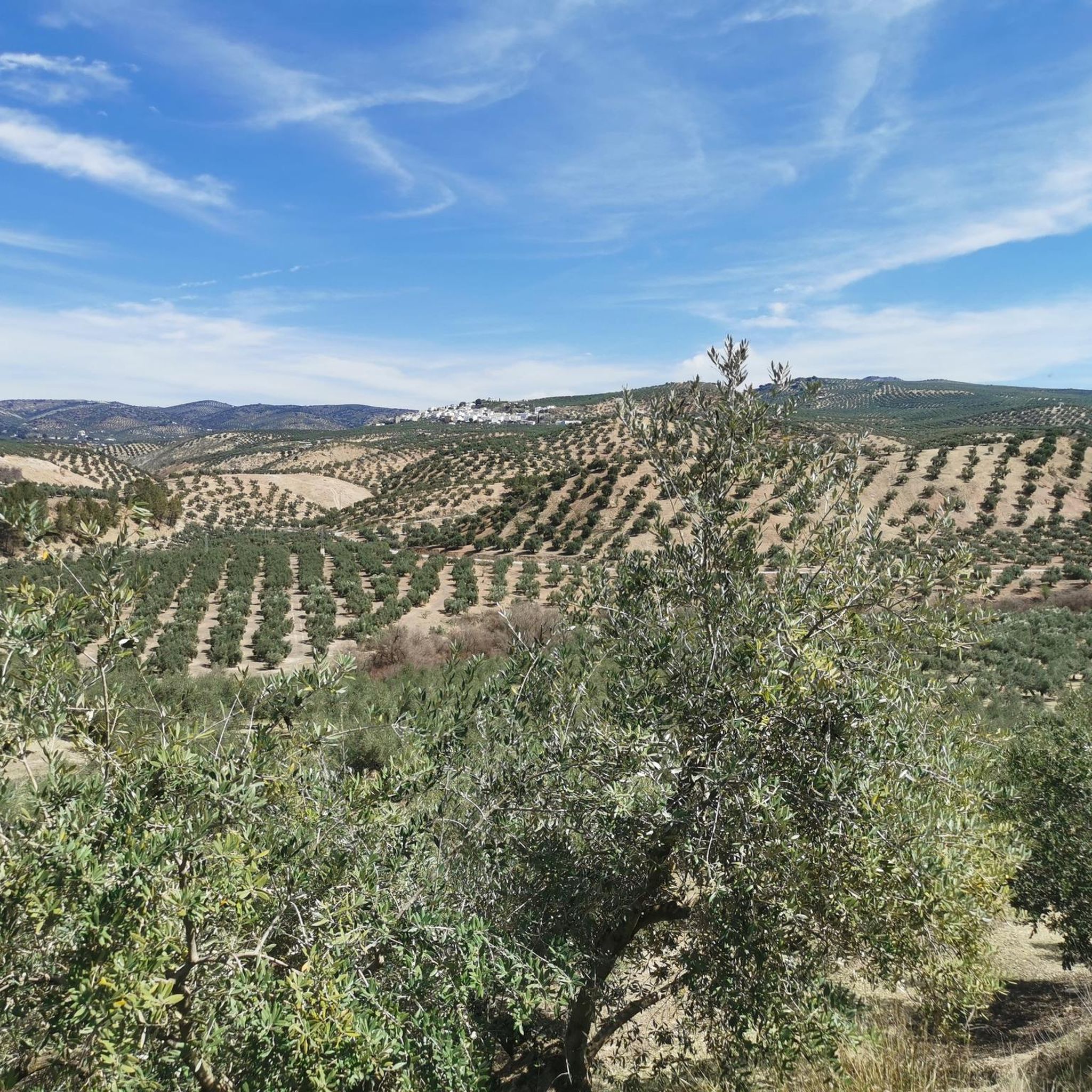
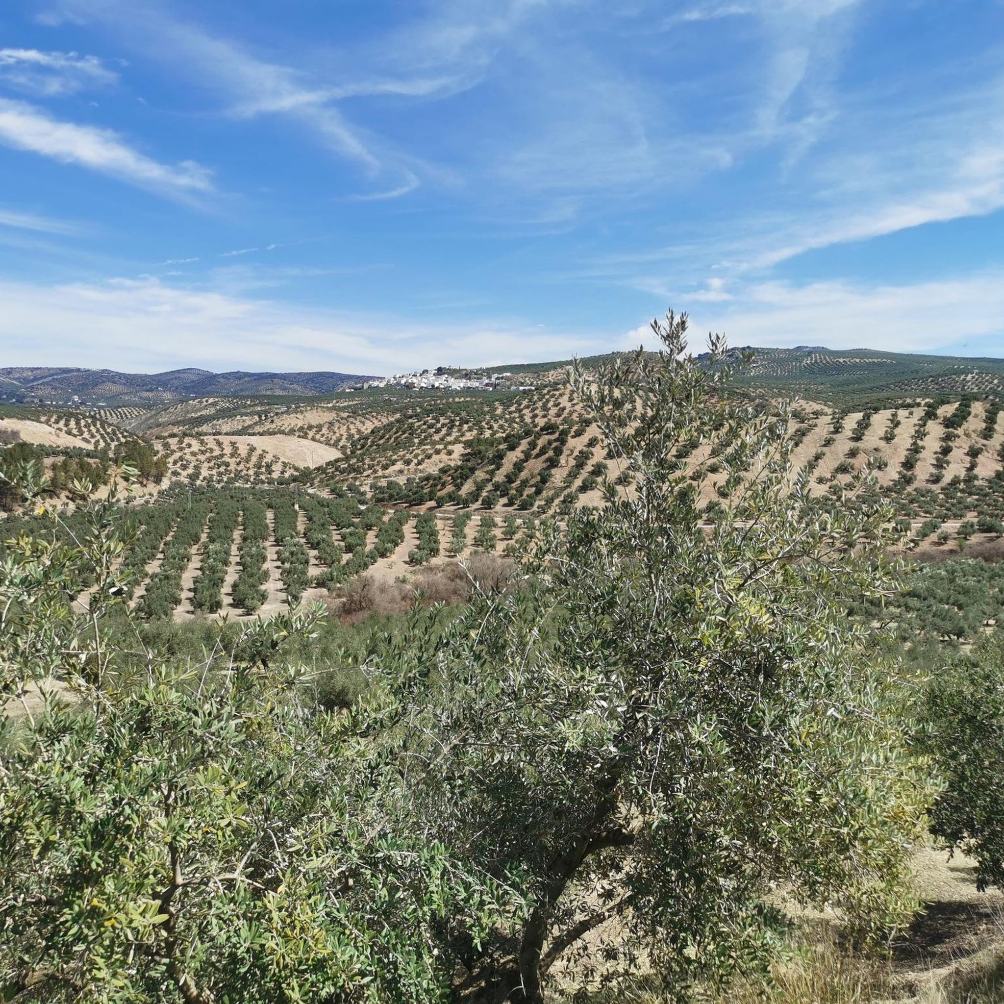
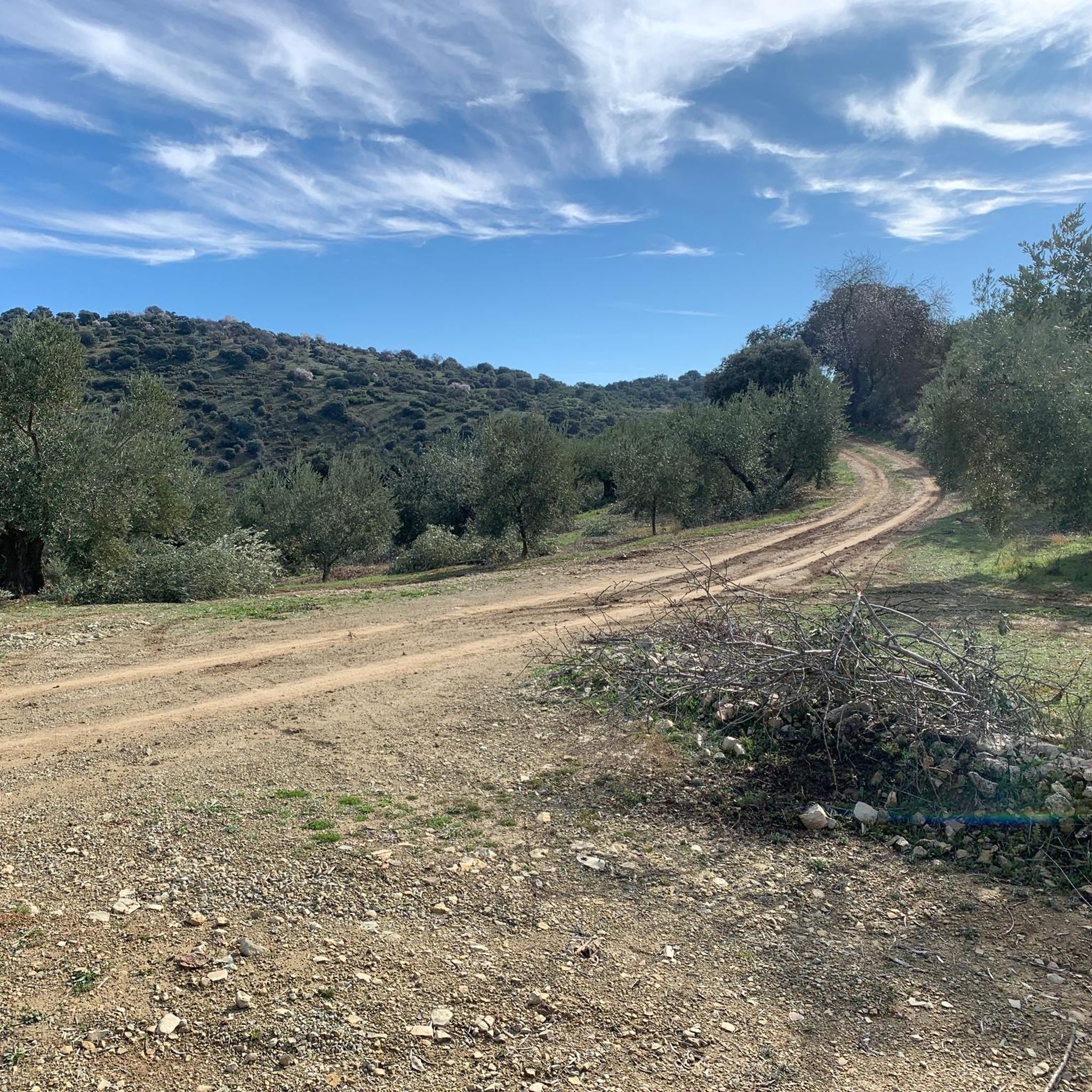
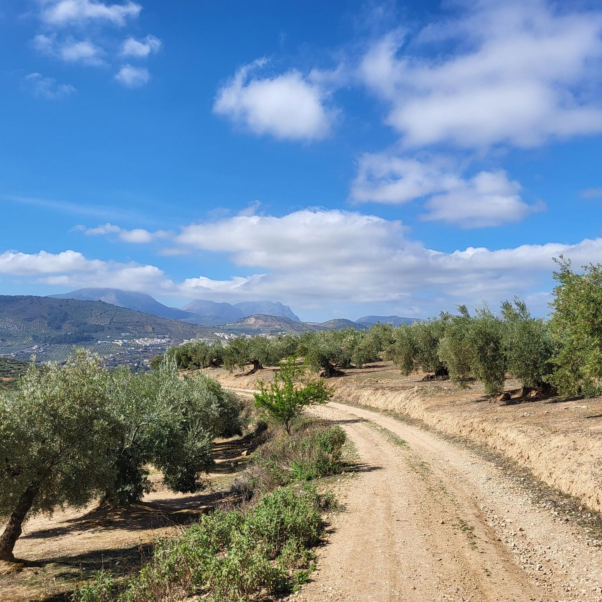
Mountain biking around Almedinilla offers a diverse landscape for riders. The region is situated within the Sierras Subbéticas Natural Park, characterized by its mountainous terrain, limestone formations, and varied elevations. Riders can expect routes that traverse through natural park landscapes, offering both challenging climbs and scenic descents. The area provides a mix of trails suitable for different skill levels, from moderate paths to more demanding routes.
Best mountain bike trails around Almedinilla
- The most popular mountain bike trail is Sierras…
Last updated: July 5, 2026
51.2km
04:12
1,080m
1,080m
This difficult 31.8-mile mountain biking route in the Sierras Subbéticas offers challenging terrain and panoramic views near Priego de Córdo
5.0
(1)
42
riders
45.9km
04:12
1,170m
1,160m
Hard mountain bike ride. Very good fitness required. Advanced riding skills necessary.

Sign up for free
4.3
(3)
17
riders
56.8km
05:11
1,190m
1,190m
Hard mountain bike ride. Very good fitness required. Advanced riding skills necessary.
4.0
(1)
11
riders
27.7km
02:11
510m
510m
Moderate mountain bike ride. Good fitness required. Suitable for all skill levels.
4.8
(4)
14
riders
41.0km
03:32
770m
770m
Moderate mountain bike ride. Good fitness required. Suitable for all skill levels.
Get access to more routes and recommendations from other explorers.
Sign up for free
Already have an account?
Our route recommendations are based on thousands of hikes, rides, and runs completed by other people on komoot.
Start today with a free account
Your next adventure awaits.
Login or Signup
Tips from the Community

Once you reach the top and arrive at this point, you’re rewarded with an incredible feeling and truly breathtaking views.
0
0

A landscape with beautiful views
1
0

Bridge at Carcabuey on the way to Priego de Córdoba
0
0

Beautiful and huge fountain that decorates and beautifies the Parque del Paseo de la Fuente del Rey. Featuring 139 water pipes and three cascading ponds decorated with animal, fantastic and mythological motifs (the most striking being Neptune and Amphitrate on a raft).
0
1
You shouldn't expect too much from the visit. The view from the tower over Priego de Cordoba is beautiful.
0
0

From here it connects with the Bailón River trail. But by bike it is not allowed so you have to follow the path up.
0
0

Going down from Priego de Córdoba, from this point we have a perfect view of the municipality of Carcabuey and its castle located on a hill, watching over what is at its feet. The castle, also called the castle of Fuente Úbeda, is a Hispano-Muslim fortress from the 11th century.
3
0

Pico Bermejo is the second highest peak in the province of Córdoba. There is no clear path to climb to the top, so there are several possibilities, some with a higher degree of difficulty like the one shown in the image. In some sections you can follow goat paths but in others the path is less clear and good orientation and skill in mountainous terrain are required.
1
0
Frequently Asked Questions
How many mountain bike trails are available around Almedinilla?
There are over 45 mountain bike trails around Almedinilla, offering a diverse range of options for riders. The area features 1 easy route, 28 moderate routes, and 16 difficult routes, catering to various skill levels.
Are there any easy mountain bike trails suitable for beginners in Almedinilla?
Yes, while many routes are moderate to difficult, the region does offer some easier paths. The guide data indicates there is at least one easy route available, and the general terrain includes moderate paths suitable for those with less experience.
What is the typical length and duration of mountain bike trails in Almedinilla?
Trail lengths vary significantly. For example, the Torre de Uclés loop from Priego de Córdoba is about 17.9 miles (28.9 km) and takes around 2 hours 18 minutes. Longer, more challenging routes like the Fuenfría Spring – Fuente del Rey loop from Priego de Córdoba can be over 35 miles (56 km) and take more than 5 hours to complete.
Are there challenging mountain bike routes for advanced riders?
Absolutely. Almedinilla is known for its challenging terrain. There are 16 difficult routes available, such as the Sierras Subbéticas Natural Park Loop, which is 31.8 miles (51.2 km) with significant elevation changes, and the View of Pico Bermejo – Puerto del Cerezo loop from Priego de Córdoba, offering expansive views and demanding ascents.
What kind of scenery can I expect on mountain bike trails around Almedinilla?
The region is situated within the Sierras Subbéticas Natural Park, so you can expect mountainous terrain, limestone formations, and varied elevations. Many routes offer expansive views from mountain passes and traverse through natural park landscapes and river valleys. For example, the Genilla River Waterfall – Caliph Bridge loop from Priego de Córdoba takes you through scenic river areas.
Are there any circular mountain bike routes in Almedinilla?
Yes, many of the mountain bike trails around Almedinilla are designed as loops. Examples include the Sierras Subbéticas Natural Park Loop, the View of Pico Bermejo – Puerto del Cerezo loop from Priego de Córdoba, and the Torre de Uclés loop from Priego de Córdoba.
What do other mountain bikers enjoy most about the trails in Almedinilla?
The mountain bike trails in Almedinilla are highly rated by the komoot community, with an average score of 4.3 stars from over 15 reviews. Riders often praise the diverse terrain, the challenging climbs, and the stunning natural park landscapes.
What are some interesting landmarks or attractions to see near the mountain bike trails?
Beyond the trails, you can explore several historical and natural attractions. Notable landmarks include the impressive Fortaleza de la Mota (Castle of Alcalá la Real), the charming town of Montefrío, and the Fuente de la Mora. There are also several historic churches like the Church of the Incarnation, Montefrío.
Is Almedinilla a good destination for family-friendly mountain biking?
While many routes are moderate to difficult, the presence of some easier paths and the general description of 'moderate paths' suggests that families with some biking experience could find suitable options. It's advisable to check individual route details for elevation and technical difficulty to ensure they align with your family's skill level.
What is the best time of year for mountain biking in Almedinilla?
Given its location in Andalusia, Spain, spring (March to May) and autumn (September to November) generally offer the most pleasant temperatures for mountain biking. Summers can be very hot, making early mornings or late afternoons preferable, while winters are milder but can bring some rain.
Are there any trails that feature waterfalls?
Yes, the Genilla River Waterfall – Caliph Bridge loop from Priego de Córdoba is a moderate route that specifically mentions a waterfall, offering a scenic point of interest along the trail.
Most popular attractions around Almedinilla

Get inspired with the komoot mobile app


Explore more
Browse the best MTB trails in other regions.
