The best MTB trails around Arsèguel
4.5
(93)
1,654
riders
61
rides
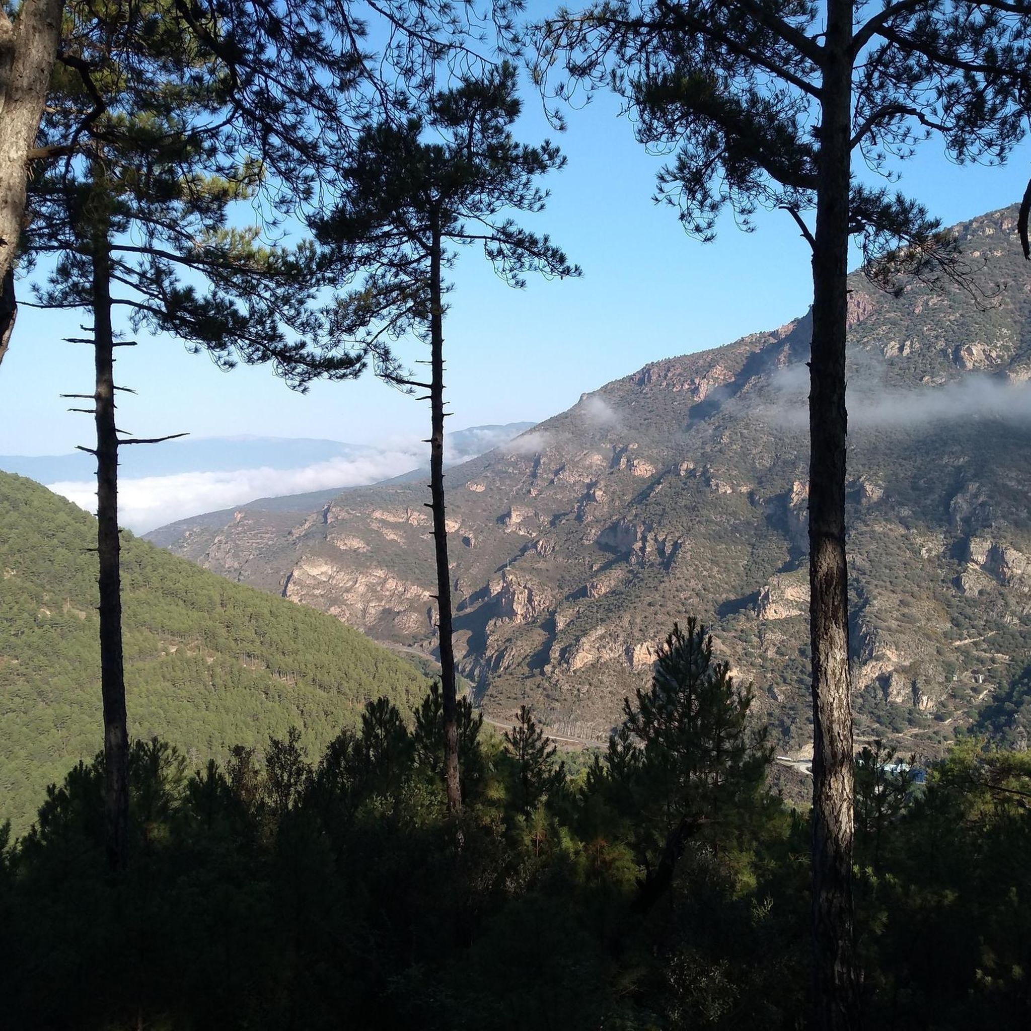
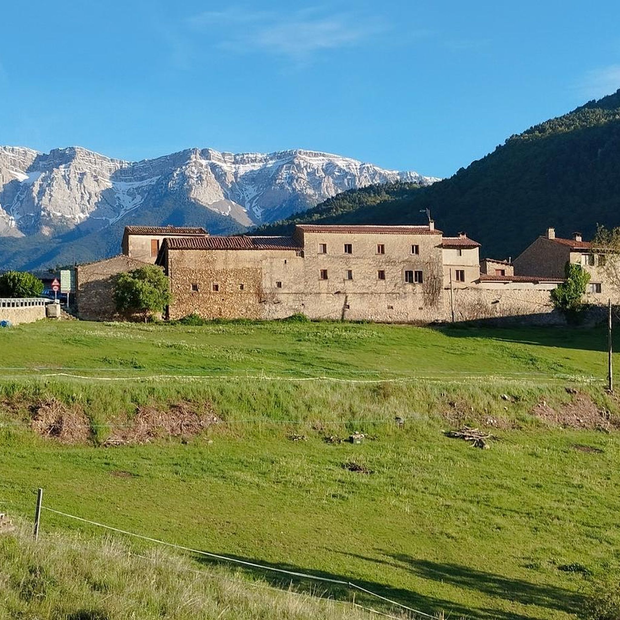
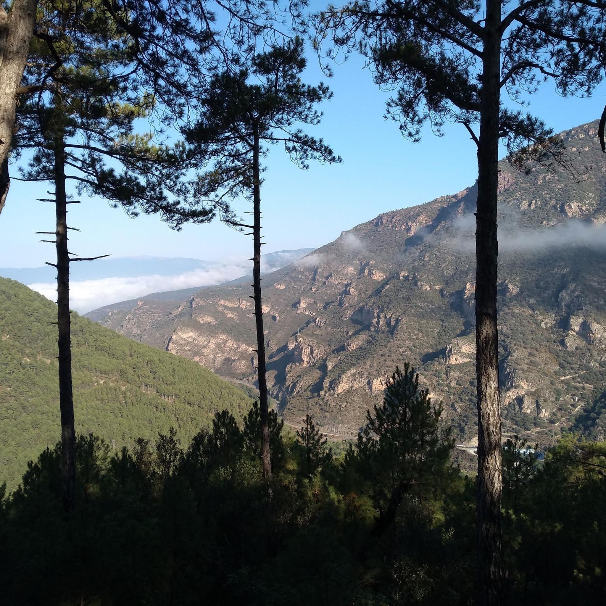
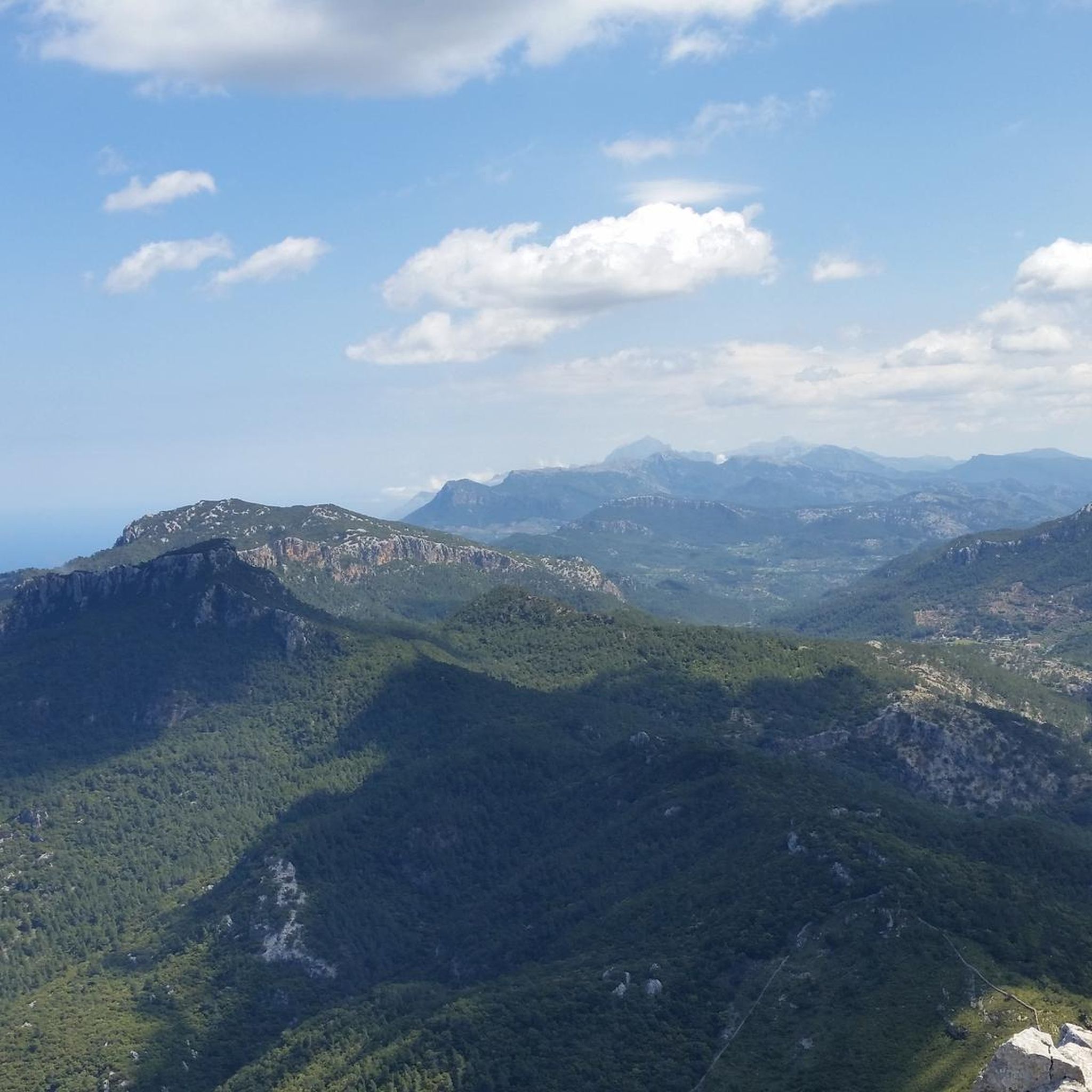
Mountain biking around Arsèguel offers diverse landscapes within the Catalan Pyrenees, set against the majestic Cadí mountain range. The region features a varied topography, including forested mountains and river valleys, providing a mix of terrain for mountain bikers. Trails often include unpaved sections and rocky areas, particularly on more challenging routes with significant elevation gains. This area is ideal for combining active pursuits with exploration of Pyrenean landscapes.
Best mountain bike trails around Arsèguel
- The most popular mountain bike trail…
Last updated: June 28, 2026
80.9km
09:06
3,050m
3,050m
This difficult 50.3-mile mountain bike route in Cadí-Moixeró Natural Park offers stunning Pyrenean views and challenging terrain.
4.7
(3)
98
riders
53.5km
05:06
1,620m
1,620m
Hard mountain bike ride. Very good fitness required. Advanced riding skills necessary. Some portions of the route may require you to push your bike.

Sign up for free
5.0
(1)
62
riders
29.4km
03:21
1,110m
1,110m
Hard mountain bike ride. Very good fitness required. Advanced riding skills necessary.
4.7
(3)
48
riders
37.9km
03:30
960m
960m
Hard mountain bike ride. Very good fitness required. Advanced riding skills necessary. Some portions of the route may require you to push your bike.
5.0
(5)
127
riders
47.0km
04:14
1,180m
1,180m
Hard mountain bike ride. Very good fitness required. Advanced riding skills necessary. Some portions of the route may require you to push your bike.
Get access to more routes and recommendations from other explorers.
Sign up for free
Already have an account?
Our route recommendations are based on thousands of hikes, rides, and runs completed by other people on komoot.
Start today with a free account
Your next adventure awaits.
Login or Signup
Tips from the Community


Aransa Station Parking (Lles de Cerdanya). The perfect starting point for mountain biking and hiking routes through the Cadí-Moixeró Natural Park. Located at approximately 1,550 meters, the parking area offers ample space, nearby water fountains, and open views of the valley. In summer, it's quiet and ideal for starting climbs towards the Pradell Refuge or the Estanys de la Pera lakes. For mountain biking, the start is direct and somewhat demanding: a wide track with a continuous incline. Tip: warm up well before leaving the pavement, pace yourself, and conserve energy, as the initial climbs can be punishing if you start too fast.
0
0
One of the most magical places in the eastern Pyrenees, surrounded by alpine meadows, fir trees, and the two lakes that give it its name. At almost 2,350 meters above sea level, the refuge offers food, accommodation, and postcard-perfect views. It's a gateway to the Perafita pass and the cross-border routes with Andorra. By mountain bike, the climb from Cap del Rec is demanding but spectacular: a wide track, rocky sections, and sustained gradients. The best approach is to take it easy, maintain a steady cadence, and savor the final reward: the reflection of the mountains in the lakes, with the sound of the wind and cows as your only companions.
0
0
A free mountain refuge nestled among black pine forests and high meadows, with sweeping views of the Segre Valley. It's a peaceful spot, ideal for sheltering from the wind or taking a break on routes that connect to Cap del Rec or Tossa Plana. The surroundings retain the pure silence of the upper Cerdanya region. By mountain bike, the final approach is via a stony track with a slight incline; it's advisable to lower the saddle and maintain control on the subsequent descent, as ruts and loose stones can be treacherous if you're riding too fast.
0
0
Located at an altitude of 1,960 meters, this refuge is a key point for cyclists and hikers heading towards the Tossa Plana de Lles or the Nordic ski slopes. The refuge combines a mountain atmosphere with comfortable amenities: a bar, a dining room, and a terrace with open views of the Cadí mountain range. It's a good place to stop, have a hot meal, or adjust your bike before continuing the climb. For mountain biking, the track from Lles has an uneven surface and rocky sections; tires with good grip are recommended, as is maintaining a constant cadence, especially on the final bends where the gradient is noticeable.
0
0
Font de Viliella (Lles de Cerdanya). A small hidden gem in the heart of the village, under a stone porch with a tiled roof, so typical of the Cerdanya region. Fresh water flows between ancient walls, with a half-erased inscription that hints at its history. Ideal for filling your water bottle and taking a breath of fresh air before continuing your ride up the slopes of the Pyrenees. If you're on a mountain bike, be careful on the uphill section from Prullans: it's short but steep and has loose stones; it's best to take it easy and at a leisurely pace, as the spring deserves to be enjoyed when you arrive with plenty of breath.
0
0
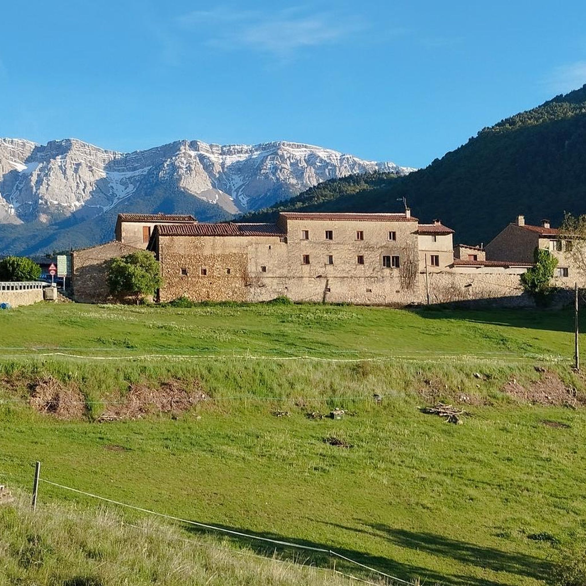
Aransa is a small town in the municipality of Lles de Cerdanya, located at an altitude of about 1,550 meters at the foot of the Cadí massif. Known for its natural environment and Nordic ski slopes, the town maintains its mountain architecture with stone houses and open views over the valley. It is a point of passage for hiking, mountain biking and e-bike routes, with paths that connect to the Fornell refuge, the Pera lakes or the Trava pass. The accesses have unevenness and sections of forest track, but are cycleable with adequate preparation. Good place to take a break, fill up with water and enjoy the Pyrenean landscape before continuing the route.
0
0
Small refuge located at 1,510m within the Cadí-Moixeró Natural Park. It is reached by a forest track with quite a steep slope, suitable for mountain biking. It is a good stop to rest, eat or spend the night if you are doing long routes like Cavalls del Vent. It has basic services: bunk beds with mattresses and blankets, showers, dining area and kitchen. If it is open, it offers half board; if it is closed, it can be used as an emergency shelter. It is not a spectacular place, but it is useful and well located if you happen to be passing by.
2
0
Frequently Asked Questions
How many mountain bike trails are available around Arsèguel?
There are over 80 mountain bike trails around Arsèguel, offering a wide range of options for different skill levels. The komoot community has explored these routes over 2000 times, highlighting the area's popularity for mountain biking.
What kind of terrain can I expect on mountain bike trails near Arsèguel?
The terrain around Arsèguel is diverse, featuring forested mountains, river valleys, and sections with unpaved and rocky surfaces. Routes often include significant elevation gains, especially on more challenging trails leading to high-altitude refuges like Cap del Rec. You'll find a mix of technical sections and scenic paths through the Pyrenean landscape.
Are there mountain bike trails suitable for beginners or families in Arsèguel?
Yes, while many routes are challenging, there are 5 easy mountain bike trails around Arsèguel. Additionally, 40 moderate routes offer a good balance for those with some experience or families looking for a less strenuous ride. These trails provide a great way to enjoy the region's beauty without extreme technical demands.
What is the best time of year to go mountain biking in Arsèguel?
The Catalan Pyrenees, where Arsèguel is located, offer varied conditions. While specific seasonal data isn't provided, the region is characterized by forested mountains and potentially snow-capped peaks in winter. Generally, spring, summer, and early autumn are ideal for mountain biking, offering pleasant temperatures and clear trails. Always check local weather conditions before heading out, especially for higher altitude routes.
Are there any circular mountain bike routes around Arsèguel?
Yes, many routes in the area are designed as loops. For example, the challenging Cap del Rec Refuge – Refugi del Pradell (2,100 m) loop from Martinet is a popular circular option. Another great loop is the Pendís Pass – Cap del Ras Viewpoint loop from Martinet, which offers panoramic views.
What are some notable landmarks or viewpoints I can see while mountain biking near Arsèguel?
The trails often provide spectacular views of the Cadí mountain range. Key points of interest include the Coll de la Peguera, a mountain pass, and the Cadí Meadow (1,880 m), which offers stunning vistas. High-altitude refuges like Prat d'Aguiló Refuge and Cap del Rec Refuge also serve as excellent viewpoints and rest stops.
What do other mountain bikers enjoy most about the trails in Arsèguel?
The mountain bike trails around Arsèguel are highly rated by the komoot community, with an average score of 4.6 stars from over 100 reviews. Riders often praise the diverse landscapes, the challenging yet rewarding terrain, and the extensive views of the Cadí mountain range. The mix of forested paths, river valleys, and technical sections provides an exhilarating experience.
Are there any advanced or difficult mountain bike routes in the Arsèguel area?
Yes, Arsèguel is known for its challenging routes. There are 35 difficult trails, many of which involve significant elevation gains and technical sections. Examples include the Cadí-Moixeró Loop, a demanding 50.3-mile trail with over 3000 meters of elevation, and the Estana (1,570 m) – Pallers Pass loop from Sant Genís, which also features substantial climbing.
Is there parking available for mountain bikers in Arsèguel or near the trailheads?
While specific parking locations are not detailed, Arsèguel is a village in the Catalan Pyrenees, and it's common for such areas to have designated parking in or near the village center, or at popular trailheads. It's advisable to check local signage upon arrival for the most convenient parking options for mountain bikers.
Can I reach mountain bike trails in Arsèguel using public transport?
Information on specific public transport links directly to Arsèguel for mountain bikers is not readily available. The region is rural, and while public transport might connect to larger towns like La Seu d'Urgell, reaching specific trailheads often requires personal vehicle transport. It's recommended to research local bus services or consider car rental for flexibility.
Are there any refuges or places to stop for food and rest along the mountain bike routes?
Yes, the area features several refuges that are key points for cyclists. The Prat d'Aguiló Refuge and Cap del Rec Refuge are notable examples, offering accommodation and services for those undertaking longer or multi-day rides. These high-altitude stops provide essential amenities and stunning views.
Are dogs allowed on the mountain bike trails around Arsèguel?
While specific regulations for dogs on mountain bike trails in Arsèguel are not provided, the area is part of the Catalan Pyrenees and near the Cadí-Moixeró Natural Park. In natural parks and protected areas, dogs are generally allowed but often required to be on a leash to protect wildlife and ensure safety. Always follow local guidelines and respect the natural environment.
Most popular attractions around Arsèguel

Get inspired with the komoot mobile app


Explore more
Browse the best MTB trails in other regions.
