The best mountain hikes around Biosphäre Entlebuch
4.7
(18)
129
hikers
20
hikes
Mountaineering around Biosphäre Entlebuch offers diverse terrain within Central Switzerland's UNESCO Biosphere Reserve. The region is characterized by prominent limestone karst massifs like the Schrattenfluh, extensive moor landscapes, and numerous peaks exceeding 2000m. Wild mountain streams and varied elevations define the landscape, providing a challenging environment for mountaineers. This protected natural reserve combines rugged mountain features with serene natural beauty.
Best mountaineering routes around Biosphäre Entlebuch
- The most popular mountaineering route is Schrattenfluh – Hengst Summit loop from Salwideli, a 9.3 miles (15.0 km) trail that takes 5 hours 31 minutes to complete. This difficult route traverses the distinctive limestone karst of the Schrattenfluh.
- Another top favourite among local mountaineers is Hengst Peak near Schimbrig loop from Schimbrig, a difficult 4.8 miles (7.7 km) path. This route offers challenging ascents to Hengst Peak with rewarding views.
- Local mountaineers also love the Brienzer Rothorn Summit – Brienzer Rothorn loop from Hagleren, a 12.3 miles (19.8 km) trail leading through alpine terrain, often completed in about 7 hours 53 minutes. This difficult route provides panoramic views from the Brienzer Rothorn summit.
- Mountaineering around Biosphäre Entlebuch is defined by limestone karst formations, high peaks, and extensive moor landscapes. The network offers options for both moderate and difficult ability levels.
- The routes in Biosphäre Entlebuch are highly rated by the komoot community with an average score of 4.7 stars from more than 10 reviews. More than 100 mountaineers have used komoot to explore Biosphäre Entlebuch's varied terrain.
Last updated: October 9, 2026
4.7
(3)
24
hikers
15.1km
05:33
790m
790m
Hard mountaineering route. Very good fitness required. Mostly accessible paths. Sure-footedness required.
5.0
(1)
15
hikers
7.52km
03:49
650m
650m
Hard mountaineering route. Good fitness required. Sure-footedness, sturdy shoes and alpine experience required.

5.0
(1)
10
hikers
19.6km
07:53
1,180m
1,180m
Hard mountaineering route. Very good fitness required. Sure-footedness, sturdy shoes and alpine experience required.
5.0
(2)
11
hikers
12.8km
05:24
800m
790m
Hard mountaineering route. Very good fitness required. Sure-footedness, sturdy shoes and alpine experience required.
5.0
(2)
5
hikers
9.34km
04:13
660m
660m
Moderate mountaineering route. Good fitness required. Mostly accessible paths. Sure-footedness required.
Get access to more routes and recommendations from other explorers.
Already have an account?
Our route recommendations are based on thousands of hikes, rides, and runs completed by other people on komoot.
Start today with a free account
Your next adventure awaits.
Popular around Biosphäre Entlebuch

Hope 1000 – Bikepacking Switzerland in 11 stages
Napfbergland Border Trail – Hike between Bern and Lucerne

Trans Swiss Trail – Hiking across Switzerland
Alpine Panorama Route — 8 stages through the foothills of the Alps
The Herzroute – Cycling through the heart of Switzerland
Hiking in the UNESCO Biosphere Entlebuch around Sörenberg Flühli
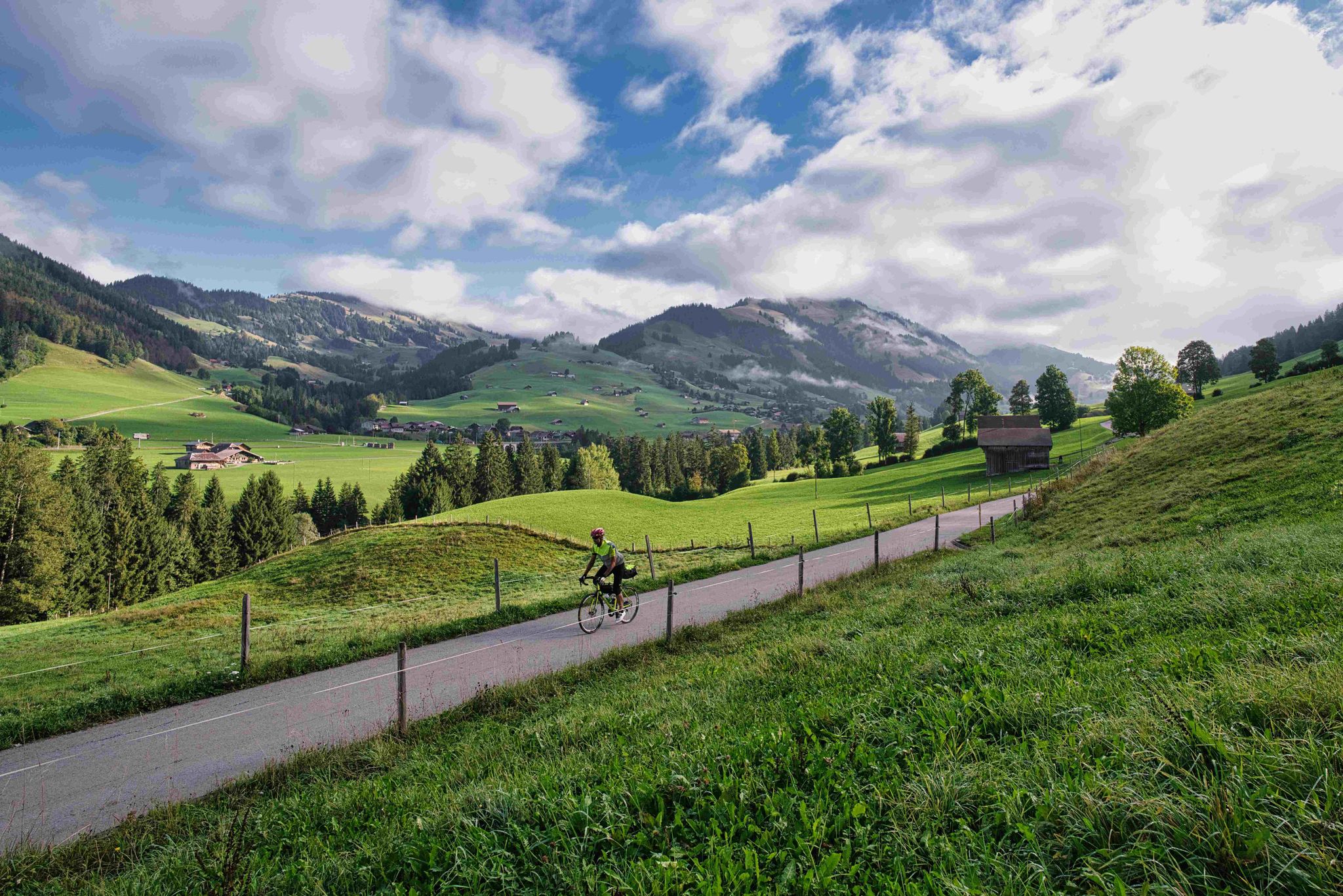
From Lake Constance to Lake Geneva
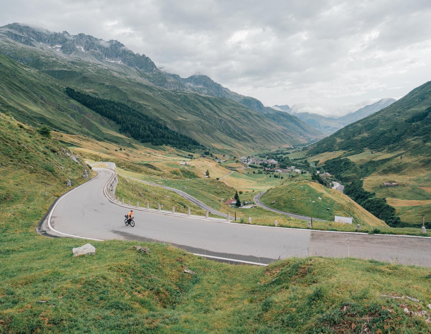
Discover Central Switzerland – ride Route 1291
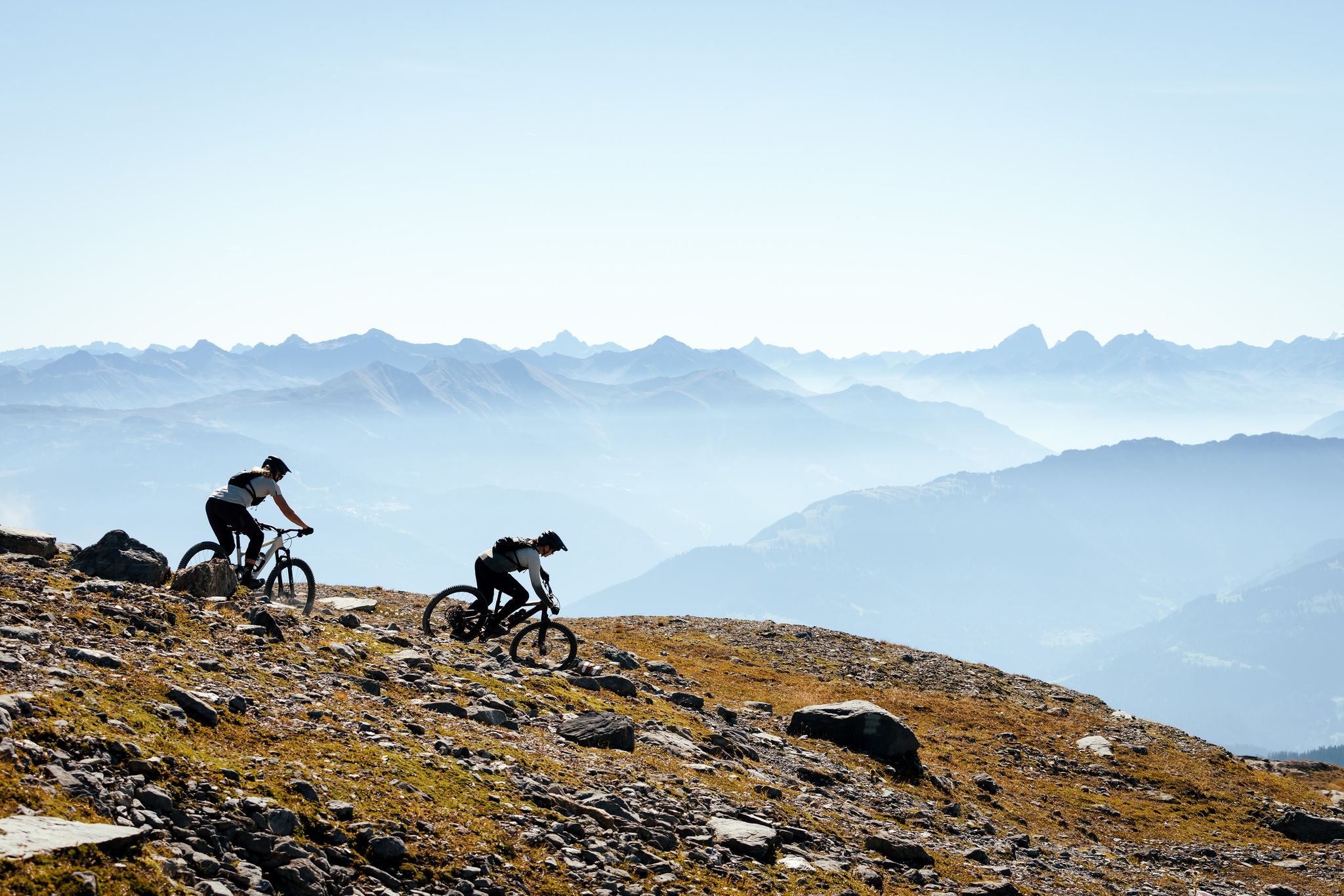
100% Women: the most beautiful MTB routes for every woman
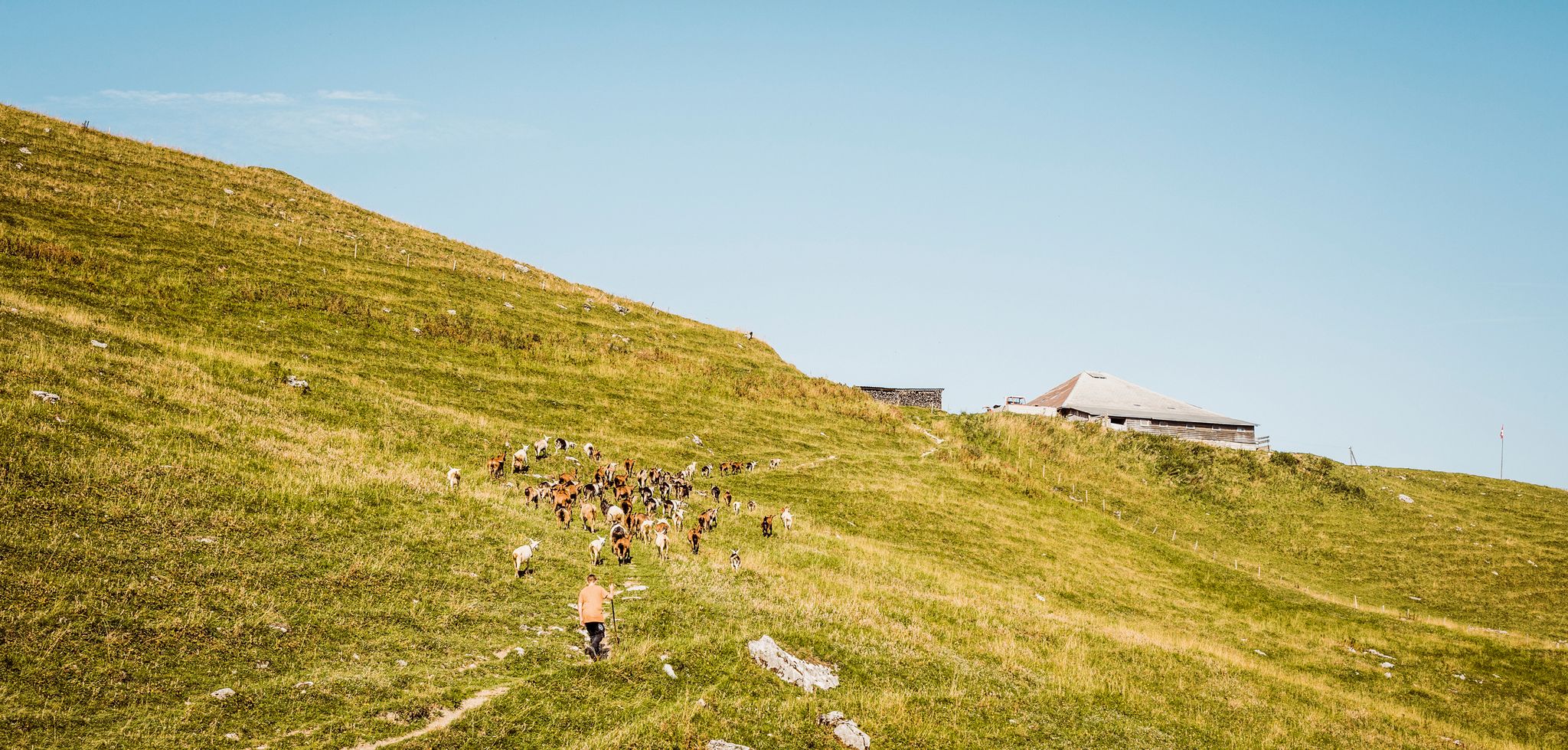
Swiss nature parks — Adrian the Goatherd of Bern
Other adventures around Biosphäre Entlebuch


Tips from the Community

pretty here, very pretty
0
0

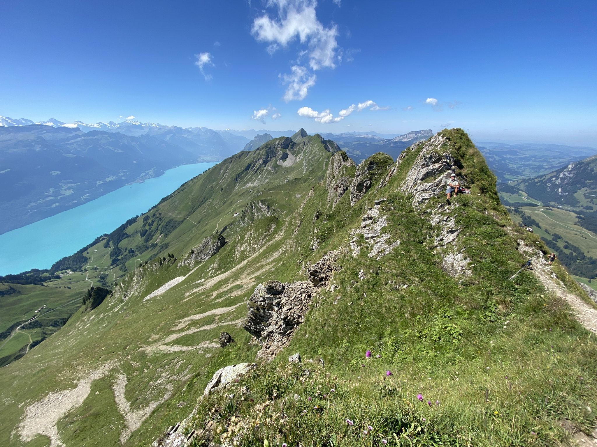
Brienzer Rothorn is 2,350 meters high. From the top, there is a fantastic view of Lake Brienz, the Bernese Alps, and numerous distinctive peaks. The journey with the historic Brienz-Rothorn-Bahn is particularly impressive. Hiking trails lead over scenic ridges and alpine landscapes. A worthwhile excursion destination for mountain lovers and nature enthusiasts.
4
0

Small, very pleasant mid-altitude resort. Hotels, restaurants, supermarket, summer toboggan run, ski slopes and beautiful landscapes. Everything you need for a pleasant sporting stay. Personally, I appreciated the welcome at the Sorenberg hotel (perfect for cyclists) and at the Baeckerstube restaurant.
1
0

good place for a break
0
0

The path can be tricky when wet
1
0

easily accessible viewing mountain
2
0

Frequently Asked Questions
How many mountaineering routes are available in Biosphäre Entlebuch?
There are over 20 mountaineering routes available in Biosphäre Entlebuch, offering a wide range of experiences for outdoor enthusiasts.
What is the general difficulty level of mountaineering routes in Biosphäre Entlebuch?
The majority of mountaineering routes in Biosphäre Entlebuch are classified as either moderate or difficult. You'll find 8 moderate routes and 15 difficult routes, providing challenging ascents and rewarding views across the region.
What unique natural features can I expect to see while mountaineering in Biosphäre Entlebuch?
Biosphäre Entlebuch is renowned for its distinctive landscapes. You'll encounter prominent limestone karst massifs like the Schrattenfluh, extensive moor landscapes, and wild mountain streams. The region is also home to the Brienzer Rothorn Summit and Fürstein Summit, offering spectacular panoramic views.
What do other mountaineers say about the routes in Biosphäre Entlebuch?
The mountaineering routes in Biosphäre Entlebuch are highly rated by the komoot community, with an average score of 4.7 stars from over 10 reviews. Mountaineers often praise the challenging terrain, the unique karst formations, and the stunning panoramic views from peaks like the Brienzer Rothorn.
Are there any circular mountaineering routes in Biosphäre Entlebuch?
Yes, many routes in Biosphäre Entlebuch are circular, allowing you to start and end at the same point. For example, the Schrattenfluh – Hengst Summit loop from Salwideli is a popular difficult circular route, as is the Brienzer Rothorn Summit – Brienzer Rothorn loop from Hagleren.
Can I find places to stay or eat near the mountaineering trails in Biosphäre Entlebuch?
Yes, there are several mountain inns and lodges conveniently located near the trails. You can find places like the Stächelegg Mountain Inn, Rossweid Mountain Lodge, and Salwideli Mountain Inn, which offer opportunities for refreshments or overnight stays.
Are there any family-friendly mountaineering options in Biosphäre Entlebuch?
While many mountaineering routes in Biosphäre Entlebuch are challenging, the broader region offers a wide network of hiking trails, including themed paths and easier options suitable for families. For specific mountaineering, it's best to assess the difficulty and elevation gain for each route to ensure it matches your family's experience level.
What is the best time of year for mountaineering in Biosphäre Entlebuch?
The best time for mountaineering in Biosphäre Entlebuch is generally during the warmer months, from late spring to early autumn, when trails are clear of snow and weather conditions are more stable. Always check local weather forecasts and trail conditions before heading out, especially for higher elevations.
Are dogs allowed on mountaineering routes in Biosphäre Entlebuch?
Many trails in Biosphäre Entlebuch are dog-friendly, but it's always advisable to check specific route regulations and local signage. Be mindful of livestock, especially in alpine pastures, and keep your dog on a leash where required. Ensure your dog is fit enough for the challenging terrain and elevation.
Are there any routes that offer views of waterfalls or rivers?
Yes, the Biosphäre Entlebuch region is characterized by wild mountain streams and rivers, such as the Emme. The Chessiloch Waterfall is a notable attraction, accessible via a suspension bridge, and can be incorporated into some hiking experiences, offering a refreshing natural spectacle.
What are some of the more advanced mountaineering routes in the area?
For experienced mountaineers, routes like the Hengst Peak near Schimbrig loop from Schimbrig or the Hengst Peak near Schimbrig loop from Gfellen offer challenging ascents and significant elevation gains, providing a true test of skill and endurance.
Is it possible to spot wildlife while mountaineering in Biosphäre Entlebuch?
Yes, Biosphäre Entlebuch is a UNESCO Biosphere Reserve known for its diverse flora and fauna. While mountaineering, you might have the chance to observe wildlife such as alpine ibex, golden eagles, and various bird species, especially in the quieter, more remote areas.
Most popular routes around Biosphäre Entlebuch
Most popular attractions around Biosphäre Entlebuch

Get inspired with the komoot mobile app


Explore more
Browse the best Mountain Hikes & Routes in other regions.
