The best running trails around Polentinos
5.0
(1)
152
runners
16
runs
Jogging around Polentinos offers access to the diverse landscapes of the Montaña Palentina Natural Park in Palencia, Spain. The region features an extensive mountain range with high peaks, deep valleys, and glacial lakes, providing varied terrain for runners. Jogging routes often traverse beech, oak, and juniper forests, as well as alpine meadows and rocky areas, shaped by rivers like the Carrión and Pisuerga. This environment provides a range of running experiences, from challenging ascents to softer, forested paths.
Best jogging…
Last updated: June 28, 2026
5.0
(1)
44
runners
Hard run. Very good fitness required. Mostly accessible paths. Some sure footedness required.
41
runners
10.3km
02:41
1,090m
1,090m
This difficult 6.4-mile trail running route to Curavacas summit offers challenging terrain and expansive views in Montaña Palentina.

Sign up for free
5
runners
Moderate run. Good fitness required. Mostly paved surfaces. Suitable for all skill levels.
3
runners
3.71km
00:29
110m
110m
Jog this 2.3-mile (3.7 km) moderate loop in Montaña Palentina to discover the unique Fossil Forest and scenic viewpoints.
1
runners
4.25km
00:35
140m
140m
Run the moderate 2.6-mile Senda del Gigante del Valle Estrecho (PR-P 7) for panoramic views and a glimpse of the legendary Giant.
Get access to more routes and recommendations from other explorers.
Sign up for free
Already have an account?
Our route recommendations are based on thousands of hikes, rides, and runs completed by other people on komoot.
Start today with a free account
Your next adventure awaits.
Login or Signup
Tips from the Community

Impressive oak tree over 600 years old, easy walk, well signposted and very pleasant.
0
0

The Bear Trail in Cervera de Pisuerga is a circular hiking route of approximately 11 kilometres. It begins at the San Roque bridge and follows the right bank of the Pisuerga River, passing through the village of Arbejal and reaching the Requejada reservoir.
5
0
Climbing Curavacas is an exciting experience for mountain lovers. There are several routes available, such as Callejo Grande and Senda del Notario, which offer different levels of difficulty. In addition, in the area you can find glacial lagoons, such as Pozo Curavacas and Pozos del Ves, which add a special touch to the landscape.
5
0

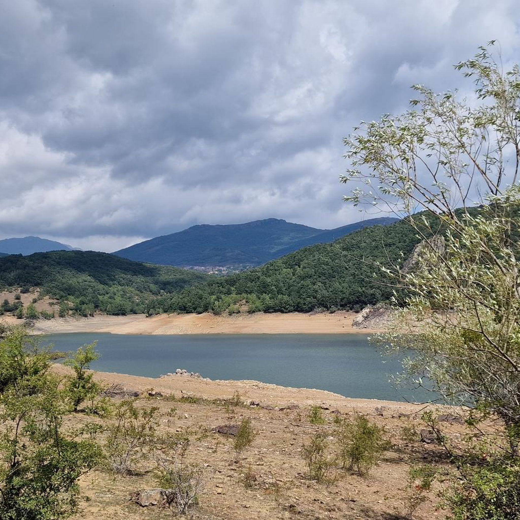
The views from the path are magnificent. In the foreground you can see the town of Vañes and, in the background, the beautiful Requejada reservoir.
1
0

This is a beautiful little wooded trail that takes you past a rock face with fossilized trees. Fossils are millions of years old.
0
0

Viewpoint where we find a sign explaining the legend of the lying giant and helps us to distinguish them in the corresponding mountains.
1
0
Municipality and town in the province of Palencia, nestled within the Montaña Palentina Natural Park.
1
0
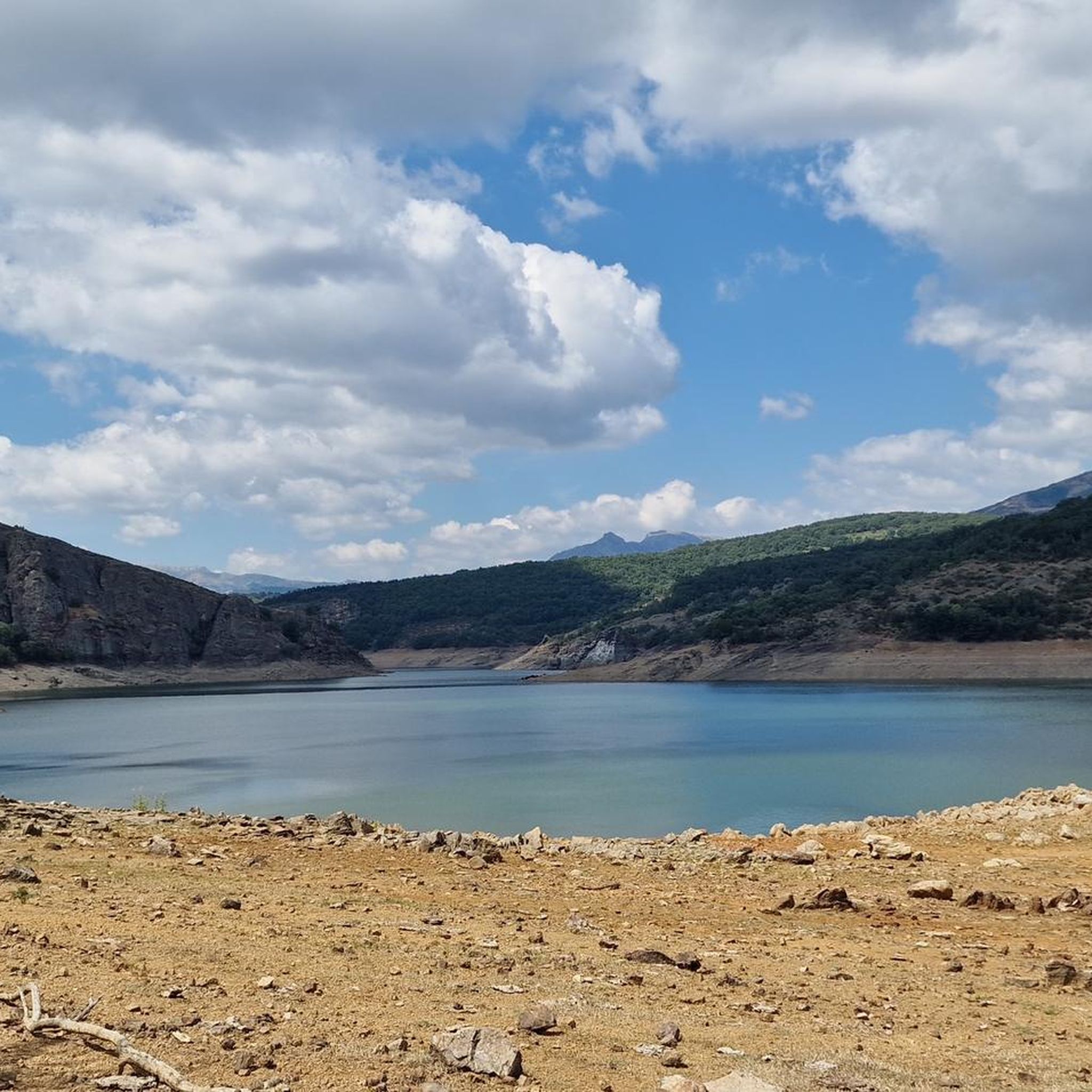
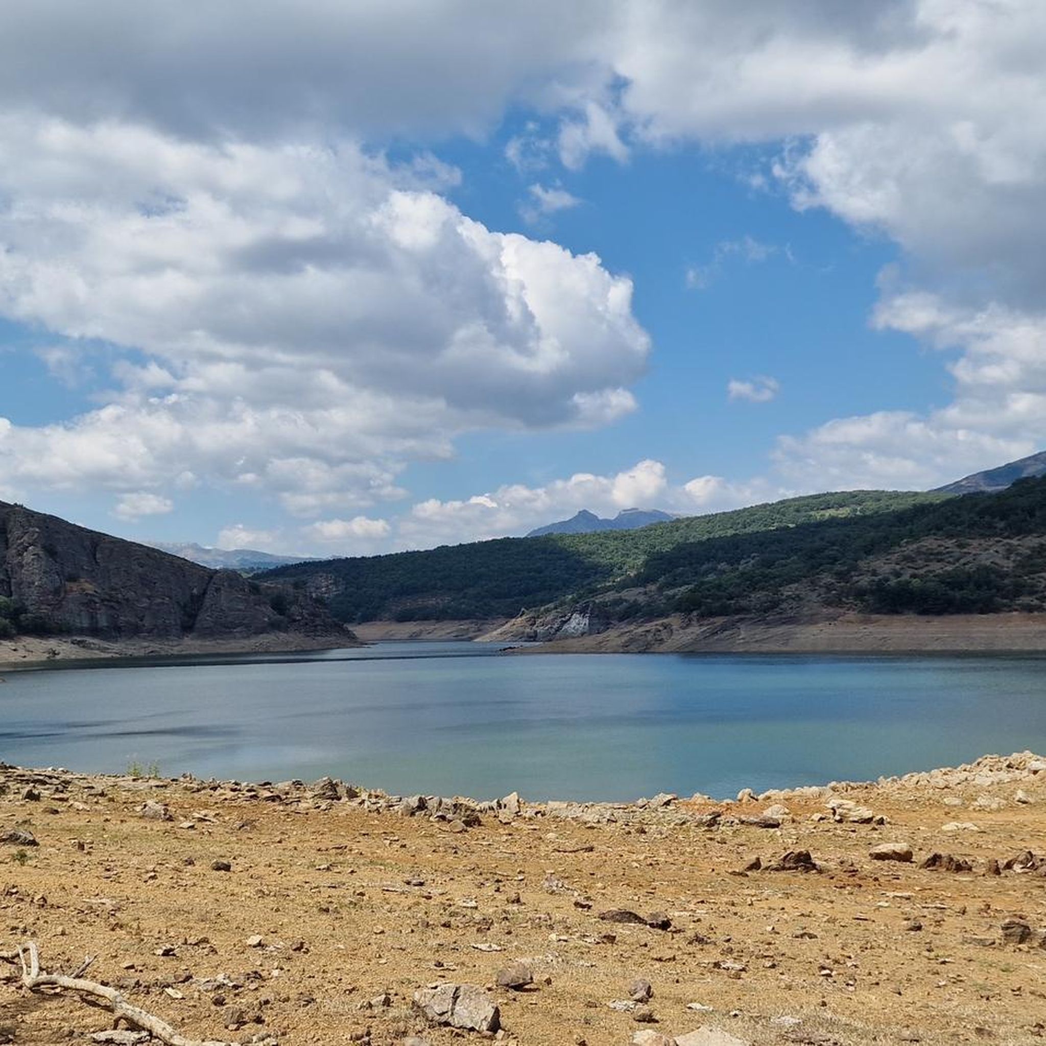
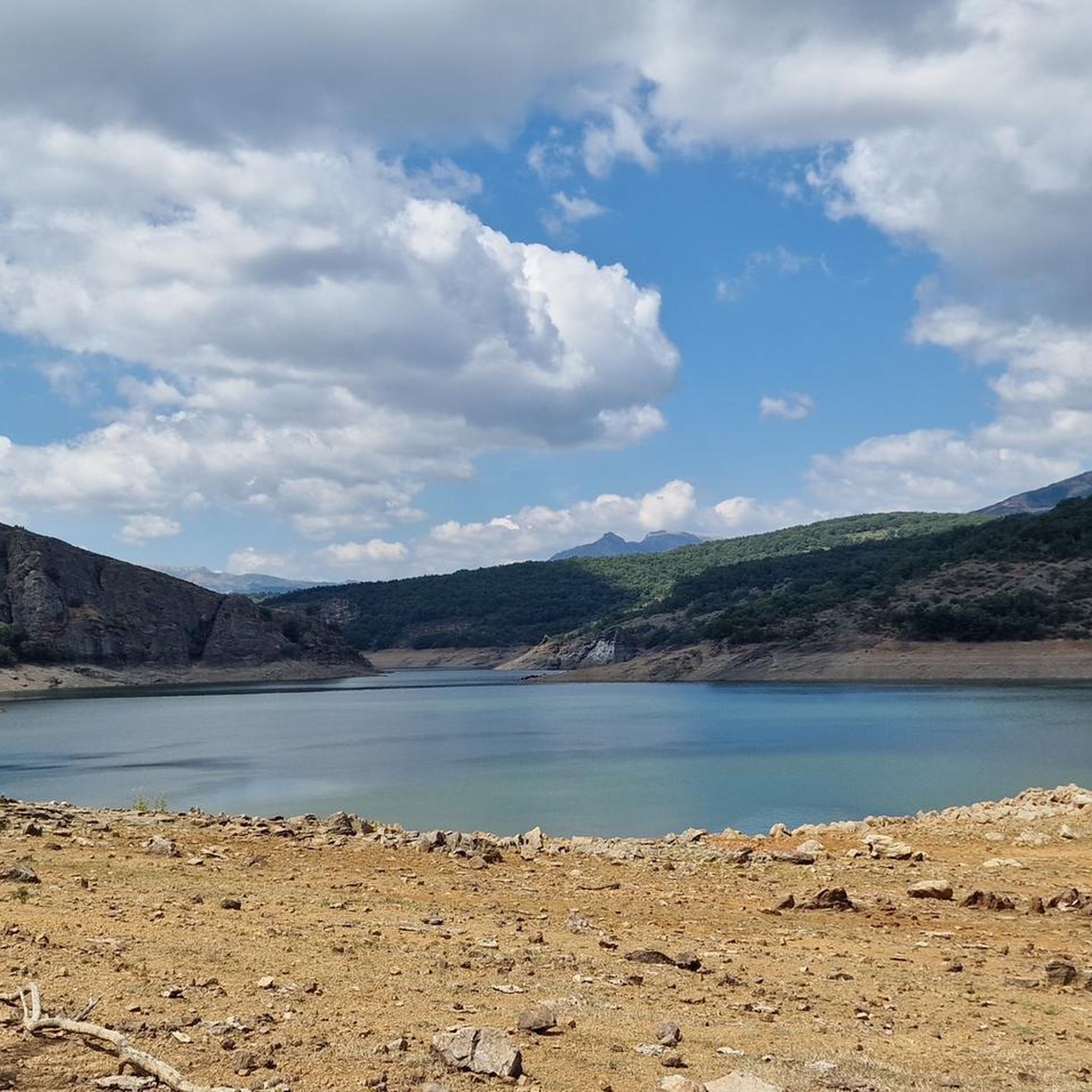
Viewpoint that offers great views of the La Requejada reservoir.
2
0
Frequently Asked Questions
How many running routes are available around Polentinos?
There are over 15 running routes around Polentinos, offering a variety of experiences within the Montaña Palentina Natural Park. These routes cater to different preferences, from moderate forest paths to more challenging mountain ascents.
What kind of terrain can I expect on jogging routes around Polentinos?
The terrain around Polentinos is highly diverse, reflecting its location within the Montaña Palentina Natural Park. You can expect a mosaic of landscapes including deep valleys, high mountain peaks, and glacial lakes. Routes often traverse beech, oak, and juniper forests, as well as alpine meadows and rocky areas, shaped by rivers like the Carrión and Pisuerga.
Are there any circular running trails in the Polentinos area?
Yes, several circular running trails are available. For example, the Senda del Oso from Cervera de Pisuerga (PRC-P05) offers a circular trailrunning experience through the natural park's varied terrain. Another option is the Senda "El Roblón de Estalaya" (PRC-P 4), which is a shorter circular route through forested areas.
What natural features can I see while running in Polentinos?
The region is rich in natural beauty. You can encounter impressive water features like the Covalagua Waterfall and glacial lakes. The area is also home to diverse forests, including ancient yew groves like the Tejeda de Tosande, and notable peaks such as Curavacas (2524m). You might also spot unique flora and fauna, including endangered species like the Cantabrian brown bear.
Are there any easy or moderate running routes suitable for beginners or families?
While there are no routes specifically graded as 'easy' in our current selection, there are several moderate options that could be suitable for beginners or families looking for less strenuous runs. The Senda "El Roblón de Estalaya" (PRC-P 4) is a moderate 2.8-mile trail through forests, and the Fossil Forest Trail is another moderate option at 2.3 miles.
Are there challenging running routes for experienced runners?
Absolutely. For experienced runners seeking a challenge, Polentinos offers several difficult routes. The Curavacas Normal Route via Callejo Grande is a difficult 6.4-mile path with significant elevation gain as it approaches the Curavacas peak, providing stunning mountain scenery. The Senda del Oso from Cervera de Pisuerga (PRC-P05) is also graded as difficult, offering a longer trailrunning experience.
What do other runners say about the trails in Polentinos?
The running routes in Polentinos are highly regarded by the komoot community, with an average score of 5.0 stars from more than 1 review. Over 150 runners have used komoot to explore Polentinos's varied terrain, often praising the diverse landscapes and the opportunity to immerse themselves in nature.
Are there any specific landmarks or points of interest along the running paths?
Yes, several routes offer views of interesting landmarks and natural features. You might pass by the Roblón de Estalaya, a significant natural monument, or the Fossil Forest Cliff. Some trails also offer scenic views of reservoirs like the Ruesga Reservoir or the Embalse de la Requejada.
Is Polentinos a good destination for dog-friendly running?
The Montaña Palentina Natural Park, where Polentinos is located, is generally welcoming to dogs, but it's always advisable to check specific park regulations regarding leashes and protected areas, especially given the presence of wildlife like the Cantabrian brown bear. Many natural trails are suitable for running with dogs, allowing them to enjoy the diverse natural environment alongside you.
What is the best time of year for jogging in Polentinos?
Polentinos, situated within the Montaña Palentina Natural Park, offers beautiful running conditions across various seasons. Spring and autumn generally provide mild temperatures and vibrant landscapes, ideal for exploring the diverse forests and mountain paths. Summer can be pleasant in the higher elevations, while winter offers a unique challenge for those prepared for colder, potentially snowy conditions in the mountains.
Are there options for parking near the trailheads in Polentinos?
While specific parking details for every trailhead are not provided, the Montaña Palentina Natural Park generally has designated parking areas at popular access points for trails. It's recommended to check local signage or specific route descriptions on komoot for detailed parking information for your chosen running path.
Can I find accommodation or places to eat in Polentinos after a run?
Polentinos and the surrounding villages within the Montaña Palentina Natural Park offer various local amenities. While specific establishments are not listed here, you can typically find rural accommodations, cafes, and restaurants in the area to relax and refuel after your run, providing a tranquil environment away from overcrowding.
Most popular attractions around Polentinos

Get inspired with the komoot mobile app


Explore more
Browse the best Running Trails & Routes in other regions.
