The best walks and hikes around Crespià
4.3
(588)
4,645
hikers
219
hikes
Hiking around Crespià offers access to diverse natural landscapes within the Pla de l'Estany region. The area is characterized by the Fluvià river, which carves through the terrain, and proximity to significant natural features like Lake Banyoles. Hikers can explore routes that traverse varied topography, from gentle plains to the more challenging ascents found near the Alta Garrotxa region. The local network of trails provides opportunities to experience both the natural environment and the municipality's medieval character.
Best hiking trails…
Last updated: June 28, 2026
4.3
(18)
48
hikers
9.03km
02:35
220m
220m
Moderate hike. Good fitness required. Easily-accessible paths. Suitable for all skill levels.
4.1
(12)
30
hikers
7.43km
02:08
180m
180m
Moderate hike. Good fitness required. Easily-accessible paths. Suitable for all skill levels.

Sign up for free
4.0
(1)
25
hikers
7.42km
01:53
20m
20m
Easy hike. Great for any fitness level. Easily-accessible paths. Suitable for all skill levels.
5.0
(2)
14
hikers
10.1km
02:47
180m
180m
Moderate hike. Good fitness required. Easily-accessible paths. Suitable for all skill levels.
4.7
(3)
11
hikers
11.4km
03:09
190m
190m
Moderate hike. Good fitness required. Easily-accessible paths. Suitable for all skill levels.
Get access to more routes and recommendations from other explorers.
Sign up for free
Already have an account?
Our route recommendations are based on thousands of hikes, rides, and runs completed by other people on komoot.
Start today with a free account
Your next adventure awaits.
Login or Signup

Tips from the Community

The canal is usually dry, but the bridge gives us a historical perspective on the amount of water that used to flow there. Now it only fills after the occasional Dana, and today, three weeks after the last one, it is completely dry.
0
0

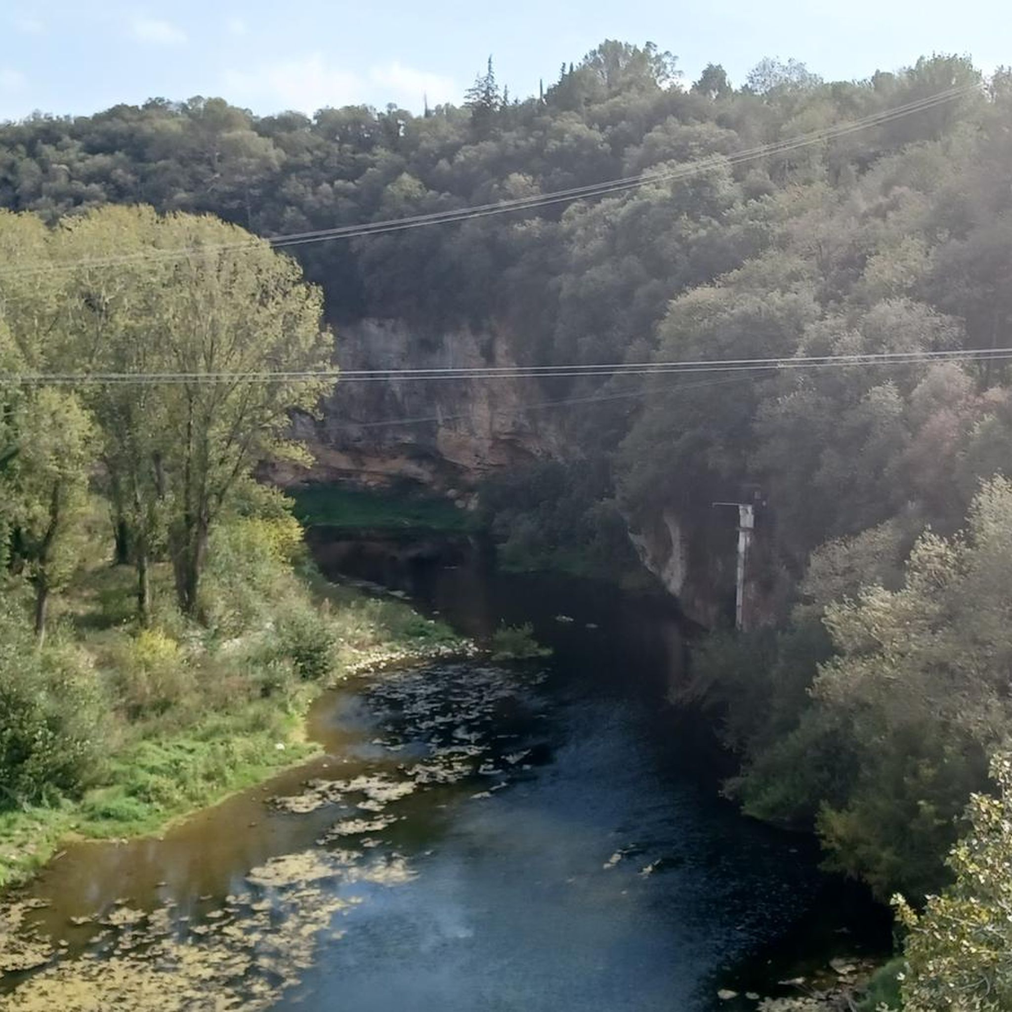
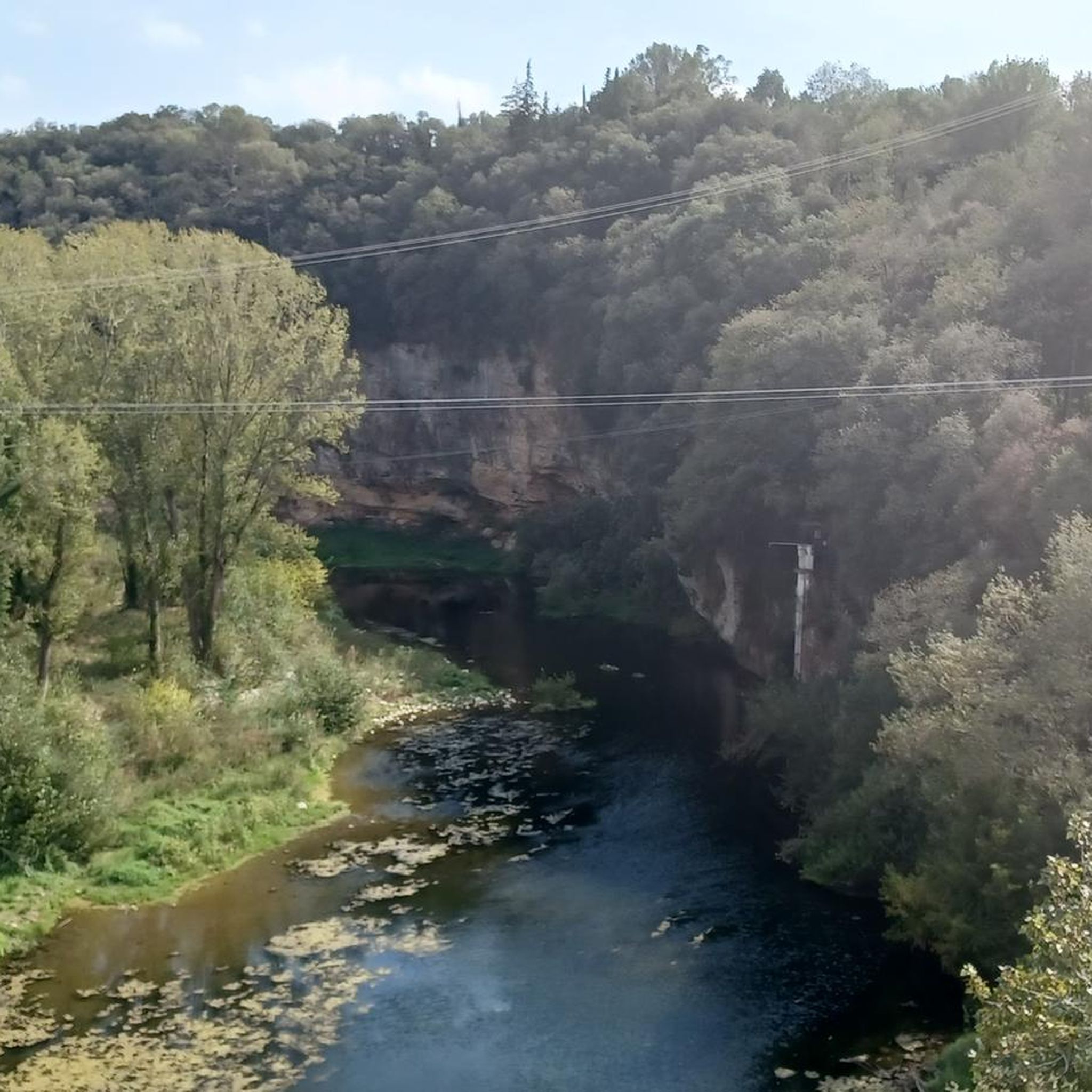
At this point, as you pass over the Ser, you can see the confluence with the Fluvià. The landscape is very pleasant, full of riverside vegetation and birdlife.
0
0
The reconstruction work seems to be finished, today I discovered a small underground entrance, but it leads nowhere.
0
0

Wild fauna nature reserve
0
1
It is in the process of archaeological research and reconstruction.
0
0

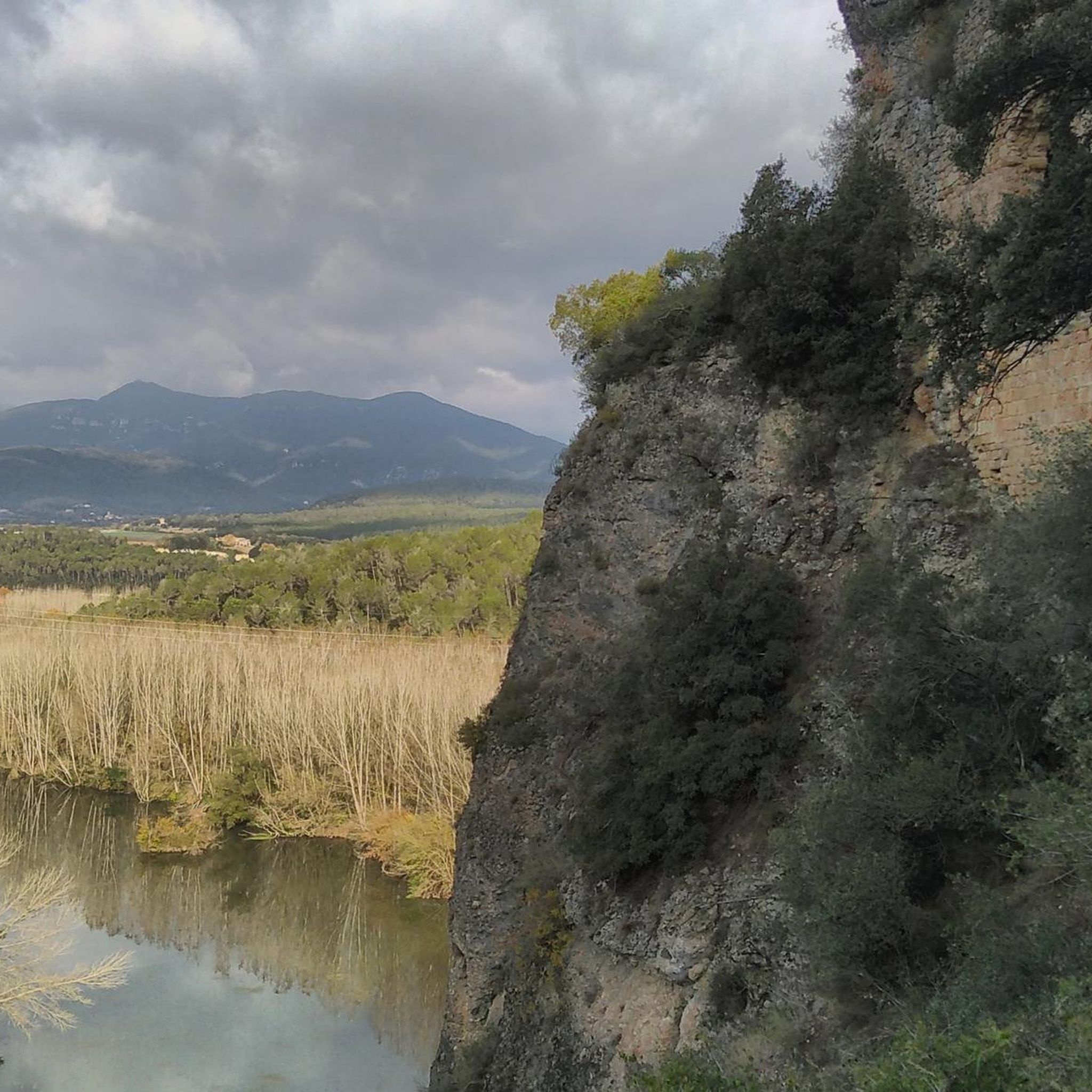
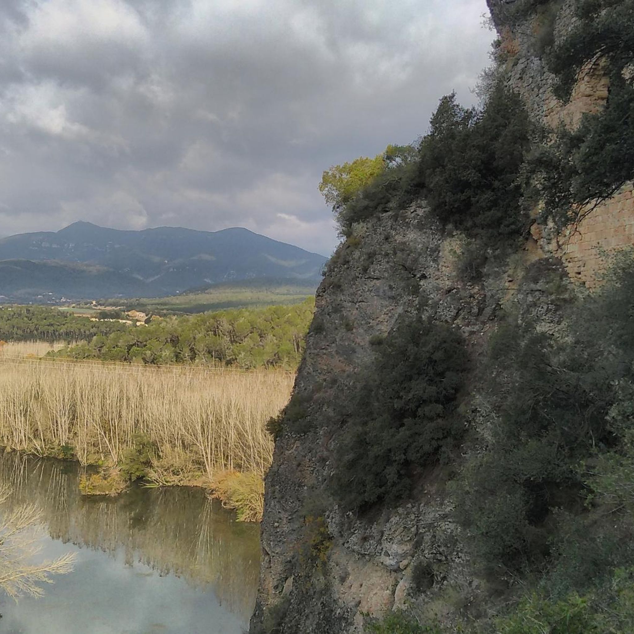
In this natural space there is a dam at the height of the town of Espolla. There is always water.
0
0

Better to go there for a day with good visibility to enjoy the great view of the Empordà. And if you want to visit the church, you must ask for the key to the house next door.
1
1
Frequently Asked Questions
How many hiking trails are available around Crespià?
Crespià offers a wide variety of hiking opportunities, with over 200 routes available. These range from easy strolls to more challenging excursions, ensuring options for all fitness levels.
What types of landscapes can I expect to see while hiking near Crespià?
The region around Crespià is characterized by diverse landscapes. You'll find routes along the Fluvià river, through gentle plains, and near significant natural features like Lake Banyoles. The area also borders the Alta Garrotxa region, known for its volcanic cones and lava flows, offering unique geological formations.
Are there any easy hiking trails suitable for beginners or families in Crespià?
Yes, Crespià has over 100 easy routes perfect for beginners or families. An example is the Pla de Martís – Estany d'Espolla loop from Esponellà, which is an easy 4.7-mile trail leading through plains and past Estany d'Espolla.
What are some notable natural landmarks or attractions to explore on hikes?
Hikers can discover several natural landmarks. The largest non-coastal natural lake in Catalonia, Lake Banyoles, is nearby. You can also find unique geological features like the Travertine Formations at Les Estunes, or visit the Rector's Spring.
Are there any historical or cultural sites accessible via hiking trails?
Yes, the region has a rich history. Crespià itself retains a medieval character. Overlooking the Fluvià river, you can find the unique 'troglodyte' sanctuary of Sant Miquel de la Roca, partly built into a rock cavity. Additionally, you might encounter historical sites like Castell d'Esponellà or the medieval town of Navata.
What do other hikers say about the trails around Crespià?
The komoot community highly rates the trails around Crespià, with an average score of 4.3 stars from over 500 reviews. More than 4000 hikers have used komoot to explore the varied terrain, often praising the scenic river valleys and diverse natural environments.
Are there any circular hiking routes in the Crespià area?
Yes, many routes around Crespià are circular, offering convenient starting and ending points. For instance, the El Fluvio loop from Crespià is a moderate 4.6-mile path that explores the Fluvià river area directly from the village.
Can I find hikes that follow the Fluvià River?
Absolutely. The Fluvià river is a prominent feature of the landscape around Crespià, and several trails follow its course. The El Fluvio loop from Pedrinyà is a popular moderate 5.6-mile trail that offers views of the river and surrounding countryside.
Are there any more challenging hikes for experienced trekkers?
While Crespià offers many easy and moderate routes, there are also 13 more difficult trails for experienced trekkers. For a substantial climb and extensive scenic views, the Mare de Déu del Mont Summit, located further afield, presents a challenging excursion.
What is the best time of year to go hiking in Crespià?
The region's diverse landscapes make it suitable for hiking throughout much of the year. Spring and autumn generally offer pleasant temperatures and vibrant scenery. Summers can be warm, making early morning or late afternoon hikes preferable, especially along shaded river paths.
Are there options for longer hikes or multi-day treks?
While many routes are day hikes, the proximity to larger natural parks like Alta Garrotxa and the wider Girona province provides opportunities for longer excursions. These areas are known for extensive trail networks, including options for long-distance treks.
Most popular attractions around Crespià

Get inspired with the komoot mobile app


Explore more
Browse the best Hikes in other regions.
