The best road cycling routes around Cabezón De La Sierra
264
riders
13
rides
Road cycling around Cabezón De La Sierra offers routes through the rugged beauty of the Sierra de la Demanda Natural Park in the province of Burgos. The landscape features mountainous terrain, dense woodlands, and rolling hills, providing varied gradients for cyclists. Riders can explore picturesque villages and enjoy views of natural features like the Glacial Lagoons of Neila.
Best road cycling routes around Cabezón De La Sierra
- The most popular road cycling route is Lagunas de Neila Climb Loop,…
Last updated: October 29, 2026
31
riders
42.2km
02:19
870m
870m
Moderate road ride. Good fitness required. Mostly well-paved surfaces and easy to ride.
22
riders
65.1km
02:54
620m
620m
Moderate road ride. Good fitness required. Some segments of this route may be unpaved and difficult to ride.

12
riders
93.0km
04:14
980m
980m
Hard road ride. Very good fitness required. Some segments of this route may be unpaved and difficult to ride.
10
riders
109km
05:07
1,380m
1,380m
Hard road ride. Very good fitness required. Mostly well-paved surfaces and easy to ride.
6
riders
Moderate road ride. Good fitness required. Mostly well-paved surfaces and easy to ride.
Get access to more routes and recommendations from other explorers.
Already have an account?
Our route recommendations are based on thousands of hikes, rides, and runs completed by other people on komoot.
Start today with a free account
Your next adventure awaits.
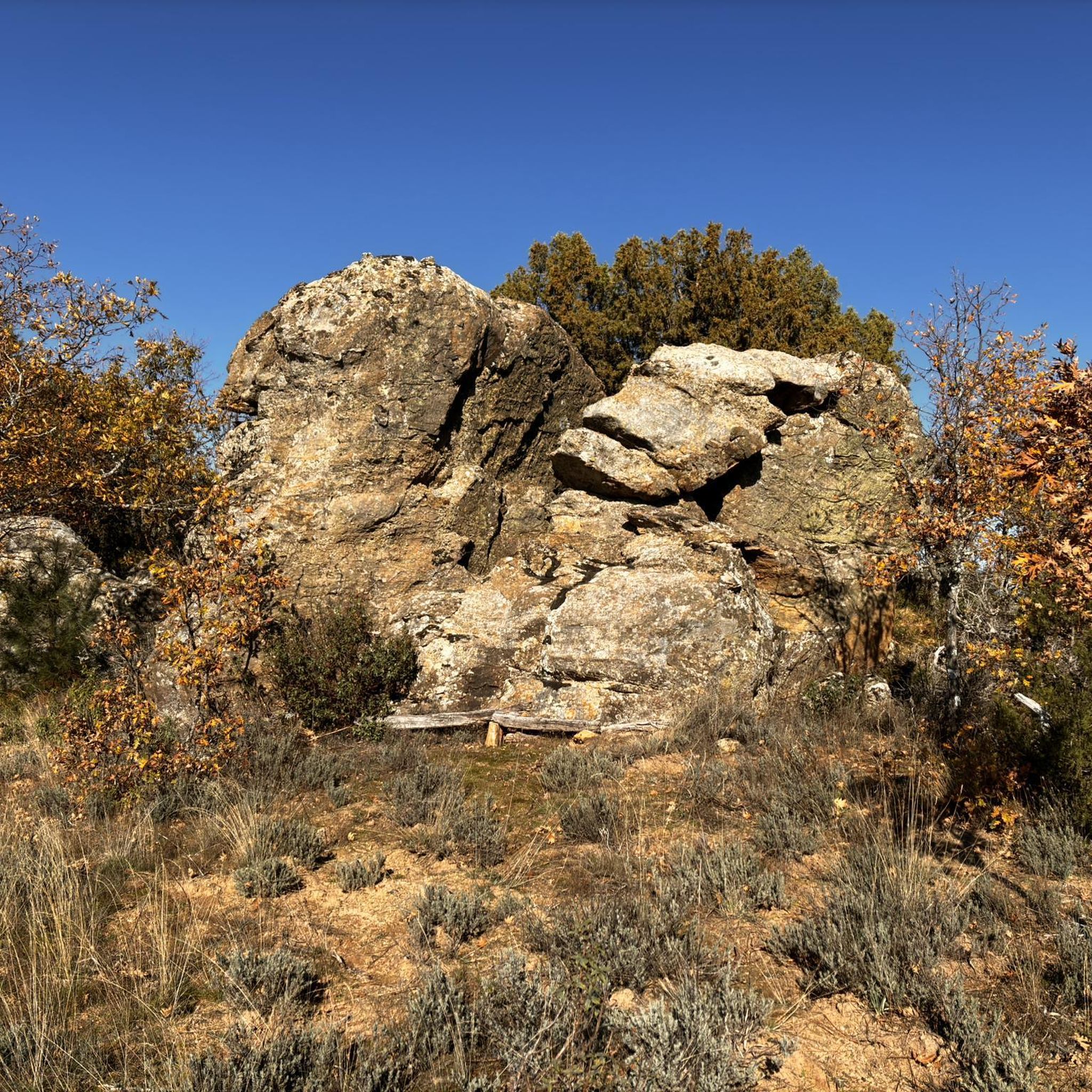
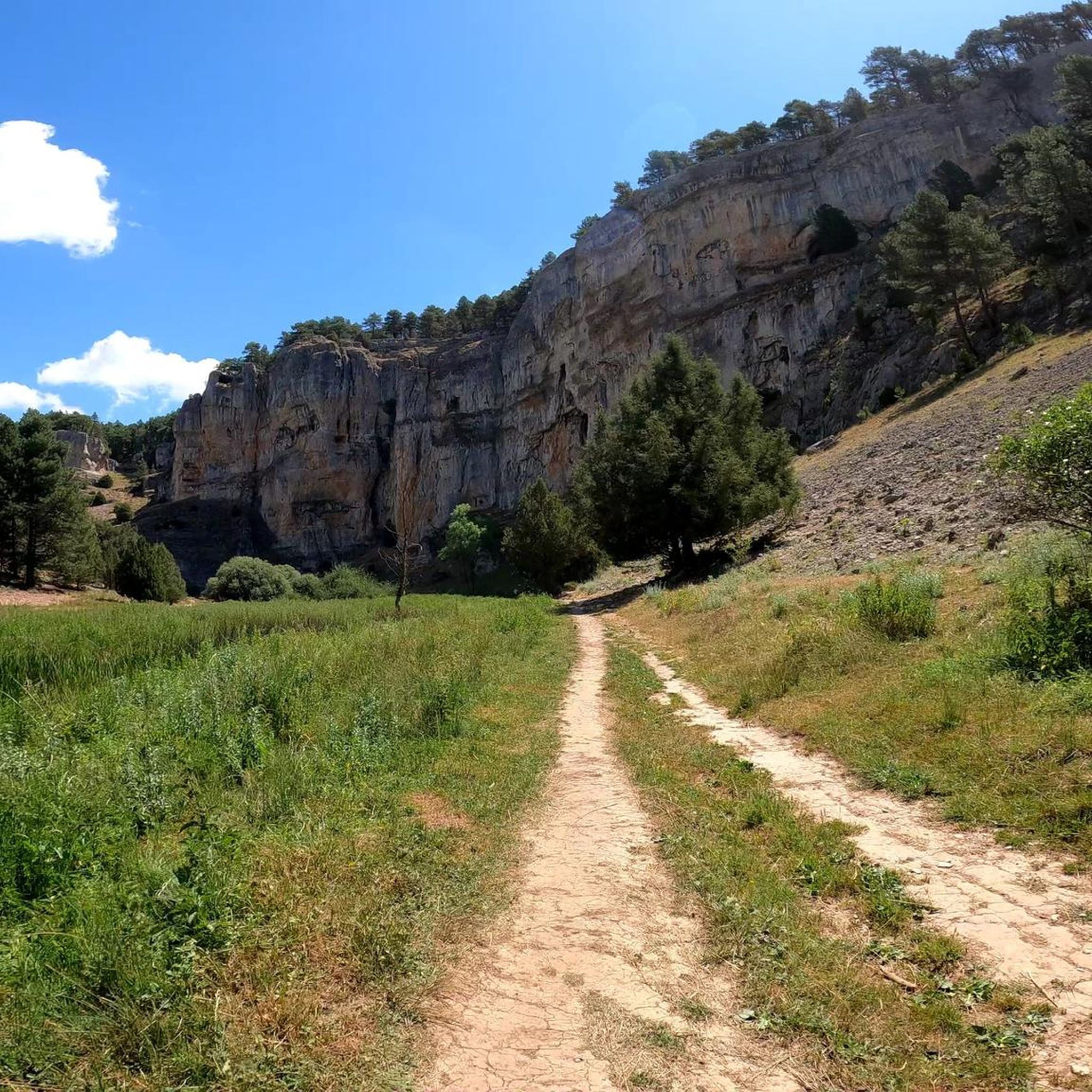
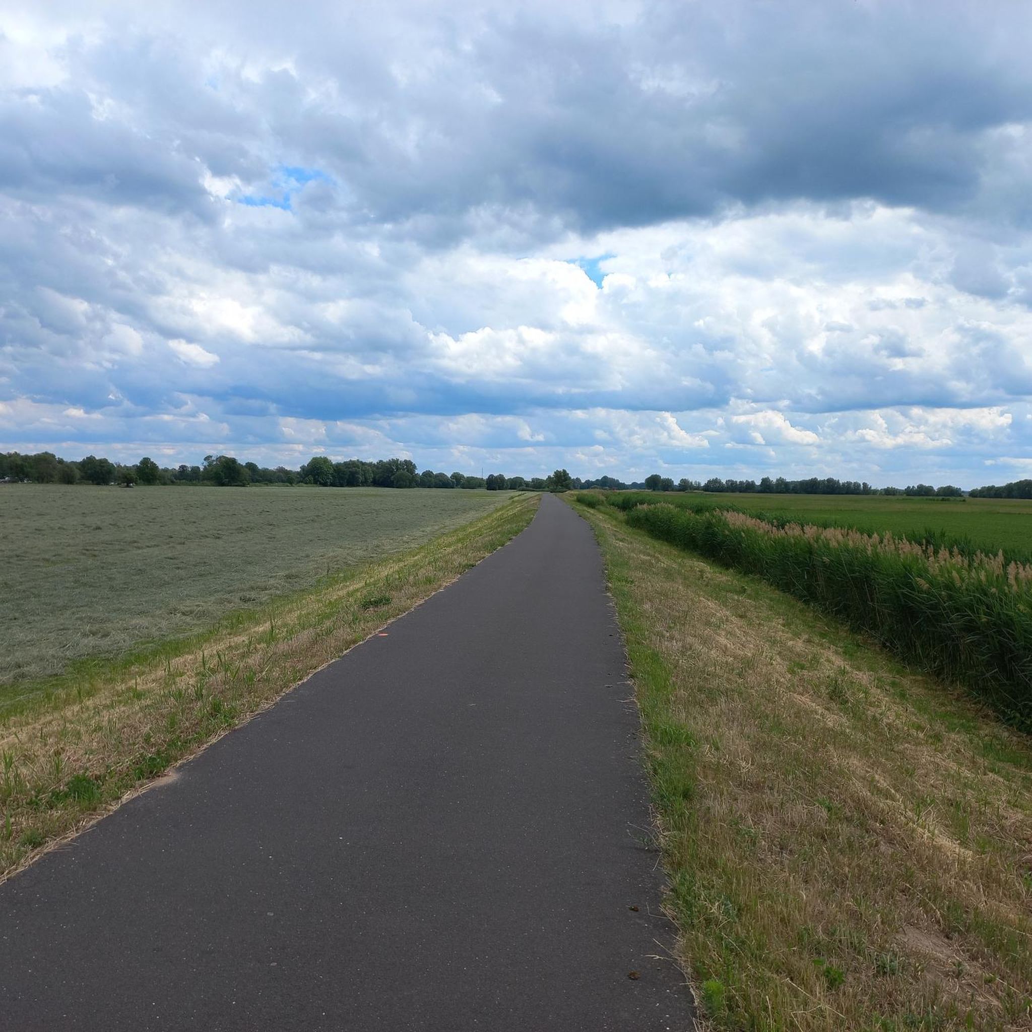

Tips from the Community

Spectacular viewpoint. Beautiful bike route
0
0

El Puerto del Manquillo is located between the towns of Pineda de la Sierra and Riocavado de la Sierra. The pass is an excellent starting point for excursions and visiting the main peaks of the sierra. The route of the Vía Verde de la Sierra Demanda also passes through the port.
0
0

beautiful climb via the greenway or the road
1
0


The Arandilla River, a tributary of the Duero River in the province of Burgos, rises in the mountains near the town of Huerta de Rey.
4
0
Huerta de Rey is a Spanish municipality and town located in the province of Burgos, in the Sierra de la Demanda mountain range. Historically, it is known for being listed in the Guinness Book of World Records due to the large number of unusual names among its inhabitants, a tradition that originated in the early 20th century to distinguish people with common surnames. The town is also notable for its natural surroundings, which are part of the Wool Route and the Camino del Cid, and for its Gothic church of San Pelayo, a building that survived a devastating fire in 1918.
3
0

good views of the canyon
0
0
Frequently Asked Questions
What kind of road cycling routes can I expect in Cabezón De La Sierra?
Road cycling in Cabezón De La Sierra primarily features routes through mountainous terrain, dense woodlands, and rolling hills. You'll find varied gradients, from moderate climbs to more challenging ascents, offering a diverse experience for cyclists.
What is the typical difficulty level for road cycling routes in this region?
The routes in Cabezón De La Sierra range from moderate to difficult. For example, the Lagunas de Neila Climb Loop is considered moderate with significant elevation gain, while routes like the Alto del Horno – View of Peña de Carazo loop from Palacios de la Sierra are more challenging due to their length and elevation.
Are there any notable landmarks or scenic viewpoints along the road cycling routes?
Yes, the region offers several scenic points. You can explore natural features like the Río Lobos Sinkhole, the Pinarejos Spring, or enjoy panoramic views from the Villanueva de Carazo Plateau. The Pico Las Torres or La Calvilla also offers impressive vistas.
When is the best time of year to go road cycling in Cabezón De La Sierra?
Given the mountainous terrain, the best time for road cycling in Cabezón De La Sierra is typically during the spring, summer, and early autumn months. These seasons generally offer more favorable weather conditions, avoiding the extremes of winter snow or intense summer heat at higher elevations.
Are there any circular road cycling routes available?
Yes, many routes in the region are designed as loops. Examples include the popular Lagunas de Neila Climb Loop and the Salas de los Infantes – Hacinas Village loop from Río Ciruelos, allowing you to start and finish at the same point.
What do other road cyclists enjoy most about road cycling in Cabezón De La Sierra?
The area is highly rated by the komoot community, with an average score of 5.0 stars. Cyclists often praise the varied terrain, which includes challenging climbs and scenic descents through dense woodlands and rolling hills, as well as the opportunity to explore picturesque villages.
Are there any routes that pass through villages or offer cultural points of interest?
Yes, routes like the Salas de los Infantes – Hacinas Village loop from Río Ciruelos traverse rolling hills and pass through local villages such as Hontoria del Pinar and Mamolar Village, offering a mix of natural beauty and cultural exploration.
How many road cycling routes are available in Cabezón De La Sierra?
There are over 10 road cycling routes available around Cabezón De La Sierra, offering a variety of distances and difficulty levels to suit different preferences.
Can I find routes that are suitable for more experienced cyclists looking for a challenge?
Absolutely. The region is known for its challenging ascents and mountainous terrain. Routes like the Ucero – Río Lobos loop from Palacios de la Sierra and the Alto del Horno – View of Peña de Carazo loop from Palacios de la Sierra are classified as difficult, providing significant elevation gains and longer distances.
Are there any specific natural parks or protected areas that the routes pass through?
Many routes are situated within or offer views of the Sierra de la Demanda Natural Park. The region is also close to the Natural Park of the Glacial Lagoons of Neila, known for its impressive beauty, which can be a destination or feature of some routes, such as the Lagunas de Neila Climb Loop.
Where can I find parking when starting a road cycling route?
While specific parking areas are not detailed for each route, the routes often start or pass through villages. You can typically find parking in these local villages or designated areas within the Sierra de la Demanda Natural Park, which are common starting points for outdoor activities.
Are there any facilities like cafes or accommodation along the routes?
The routes often pass through picturesque villages where you can find local cafes and accommodation options. For example, the Salas de los Infantes – Hacinas Village loop from Río Ciruelos connects several settlements, providing opportunities for breaks and refreshments.
Most popular attractions around Cabezón De La Sierra

Get inspired with the komoot mobile app


Explore more
Browse the best Road cycling routes in other regions.
