The best running trails around Peromingo
262
runners
31
runs
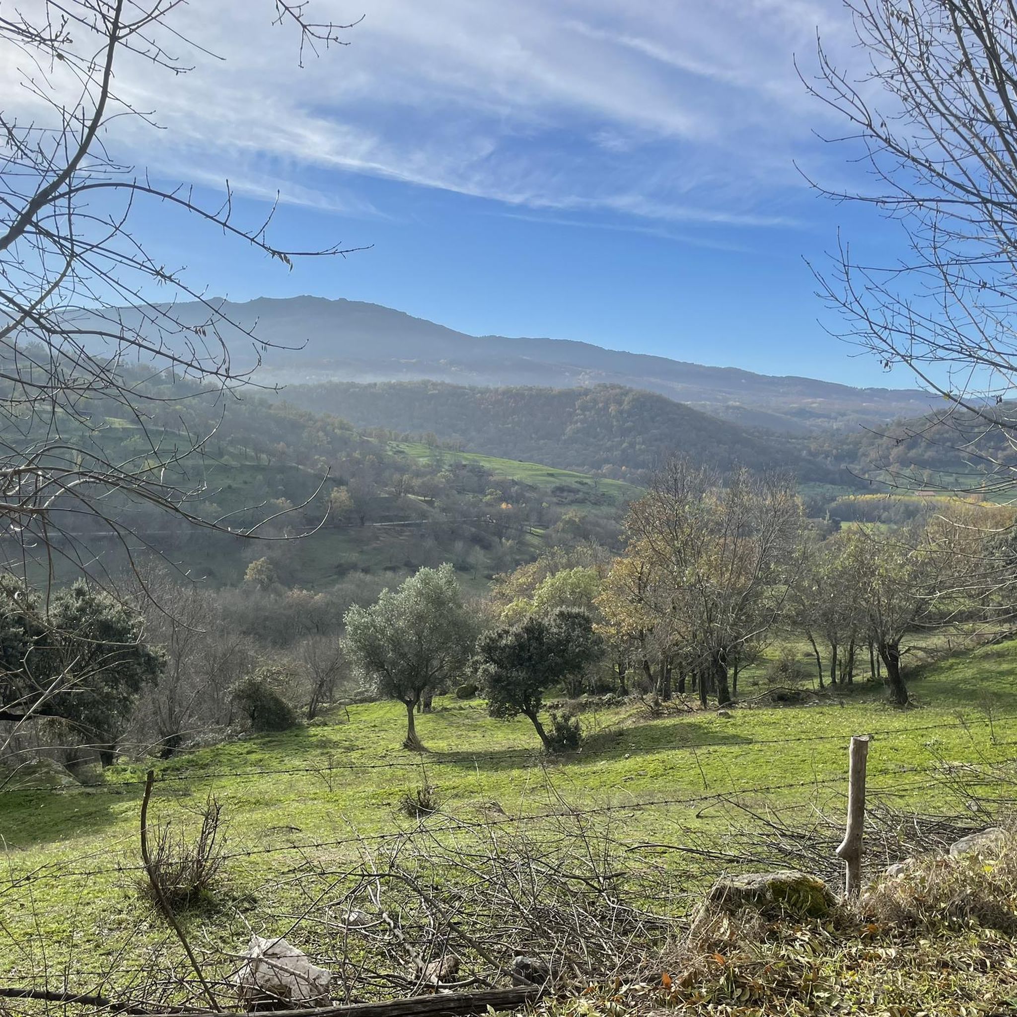
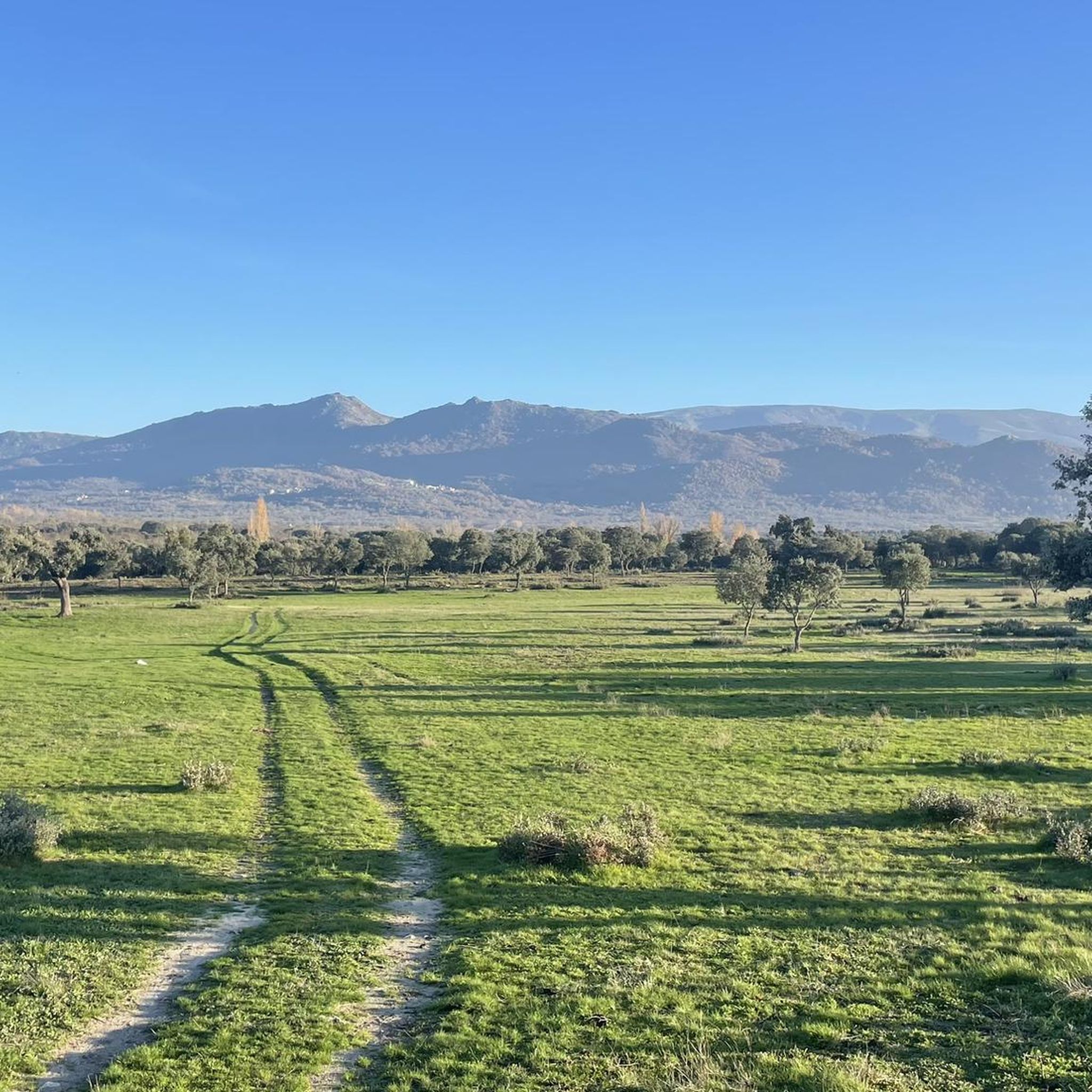
Jogging around Peromingo offers diverse landscapes for runners, characterized by a rural environment featuring oak and chestnut forests. The terrain includes valleys, such as that of the Body of Man River, and sections with slopes, providing varied challenges. High points offer panoramic views of the surrounding area, enhancing the running experience. This region provides a network of routes suitable for exploring its natural features.
Best jogging routes around Peromingo
- The most popular jogging route is Cross of the Candelario Park…
Last updated: June 29, 2026
26
runners
13.1km
01:36
360m
360m
Hard run. Very good fitness required. Mostly paved surfaces. Suitable for all skill levels.
23
runners
16.3km
01:59
660m
660m
Hard run. Very good fitness required. Sure-footedness, sturdy shoes and alpine experience required.

Sign up for free
16
runners
18.0km
01:59
380m
380m
Hard run. Very good fitness required. Mostly paved surfaces. Suitable for all skill levels.
21
runners
42.2km
07:06
2,160m
2,160m
Hard run. Very good fitness required. Sure-footedness, sturdy shoes and alpine experience required.
18
runners
14.8km
01:54
510m
510m
Hard run. Very good fitness required. Mostly paved surfaces. Suitable for all skill levels.
Get access to more routes and recommendations from other explorers.
Sign up for free
Already have an account?
Our route recommendations are based on thousands of hikes, rides, and runs completed by other people on komoot.
Start today with a free account
Your next adventure awaits.
Login or Signup
Tips from the Community

Regarding its history, the cross is a traditional symbol often associated with popular religiosity and the protection of the people. Although there is not much specific historical documentation about this cross, in Candelario it is common to find elements linked to Christian tradition, given that the municipality has a strong cultural and religious identity, also reflected in its festivals and architecture.
1
0
The Cross in Candelario Park is located in the municipality of Candelario, in the province of Salamanca (Castilla y León), within the town's Municipal Park. This park is a green space frequently visited by locals and tourists, and the cross is one of its most distinctive features, situated in an elevated area that offers views of the surrounding area.
1
0

The bullring of the city of Béjar, in the province of Salamanca (Spain), better known as La Ancianita, is the oldest bullring preserved in Spain, inaugurated in 1711.2 Located on the Castañar mountain next to the Sanctuary of the Virgen del Castañar, two kilometers from Béjar.3
0
0

Old power plant that used the current of the waters of the Río Cuerpo del Hombre to create electricity. Its walls are currently there.
0
1
At a distance of just 2 km from the Collado de Los Buitres mountain pass, a good area to enjoy nature and breathe fresh air.
7
0

Béjar is a Historical-Artistic city with many important buildings and monuments along narrow streets and large squares. The jewel is the Ducal Palace Palace from the 16th century belonging to the order of the Zúñiga family. Stop at the Plaza Mayor for a drink and a bite to eat.
1
0
Section of road that is located at 1080 meters and where it is possible to make a stop and refill the water bottle. If necessary, rest a bit...
0
0
Viewpoint that is located above the town of Béjar and offers incredible views of the whole valley!
0
0
Frequently Asked Questions
How many running routes are available around Peromingo?
There are over 30 dedicated running routes around Peromingo, offering a wide range of options for exploring the region's natural beauty. These routes vary in length and difficulty, ensuring there's something for every runner.
What kind of terrain can I expect on the jogging trails in Peromingo?
Jogging routes in Peromingo feature diverse terrain, including beautiful rural environments with oak and chestnut forests. You'll encounter varied landscapes, from river valleys to sections with slopes, which can include natural paths and potentially loose stones. This variety provides both scenic beauty and engaging challenges.
Are there any easy or beginner-friendly running routes in Peromingo?
While Peromingo's routes are generally categorized as moderate to difficult, there are 11 routes considered moderate. These might be suitable for runners looking for a less intense experience compared to the more challenging trails. It's always recommended to check the route details before heading out.
Can I find circular running routes in Peromingo?
Yes, many of the running routes around Peromingo are designed as loops, allowing you to start and finish at the same point. For example, the Cross of the Candelario Park – La Ancianita bullring loop from Béjar is a popular circular option, offering a challenging experience.
What are some scenic highlights or attractions I might see while running in Peromingo?
Peromingo's routes offer stunning natural and historical sights. You can enjoy panoramic views from high points like Peña de la Cruz, explore the unique Granite Theme Park with its sculptures, or experience the historical Béjar Station and Vía de la Plata Tunnel. The region's oak and chestnut forests and river valleys also provide beautiful natural scenery.
Are there any running routes that offer views of the Navamuño reservoir?
Yes, the La Ancianita bullring – Views on the embalse de Navamuño loop from Béjar is a difficult 10.1-mile (16.3 km) path specifically designed to provide views of the Navamuño reservoir amidst varied terrain, making for a rewarding run.
Are the running trails in Peromingo suitable for families?
Given that most routes are categorized as moderate to difficult, with varied terrain and slopes, some trails might be challenging for younger children or families seeking very easy, flat paths. However, families with older, more experienced runners may find suitable options among the moderate trails. Always check the specific route details for elevation and distance.
Can I bring my dog on the jogging routes in Peromingo?
Many natural trails and rural paths in Peromingo are generally dog-friendly, but it's always best to check local regulations or specific route details before heading out with your pet. Ensure your dog is on a leash and that you carry waste bags to maintain the cleanliness of the trails.
What is the best season for jogging in Peromingo?
Peromingo's diverse landscapes, including oak and chestnut forests, offer natural shade, making spring and autumn ideal for running. These seasons typically provide milder temperatures and beautiful scenery. Summer mornings or evenings can also be pleasant, while winter runs might require checking weather conditions for potential snow or ice, especially at higher elevations.
Are there any routes that lead to a viewpoint?
Absolutely! The Plaza Mayor of Béjar – Ventorro Pelayo Viewpoint loop from Béjar is an 11.7-mile (18.8 km) trail that specifically leads through varied terrain to a viewpoint, offering rewarding vistas during your run.
What kind of historical features can I encounter on the running trails?
Peromingo's trails often intertwine with history. You can find original milestones from historical routes, and the Béjar Station and Vía de la Plata Tunnel offers a unique historical trail experience, allowing you to traverse a curved tunnel and explore an area with medieval streets and mining history.
Are there any very long-distance running options for experienced trail runners?
Yes, for experienced trail runners seeking a significant challenge, routes like the Canchal de la Ceja – Torreón (Calvitero Summit) loop from Béjar offer an extensive 42.2-kilometer (26.2 miles) journey with substantial elevation gain, providing a demanding and rewarding experience.
Most popular attractions around Peromingo

Get inspired with the komoot mobile app


Explore more
Browse the best Running Trails & Routes in other regions.
