The best running trails around Villarrodrigo
90
runners
10
runs
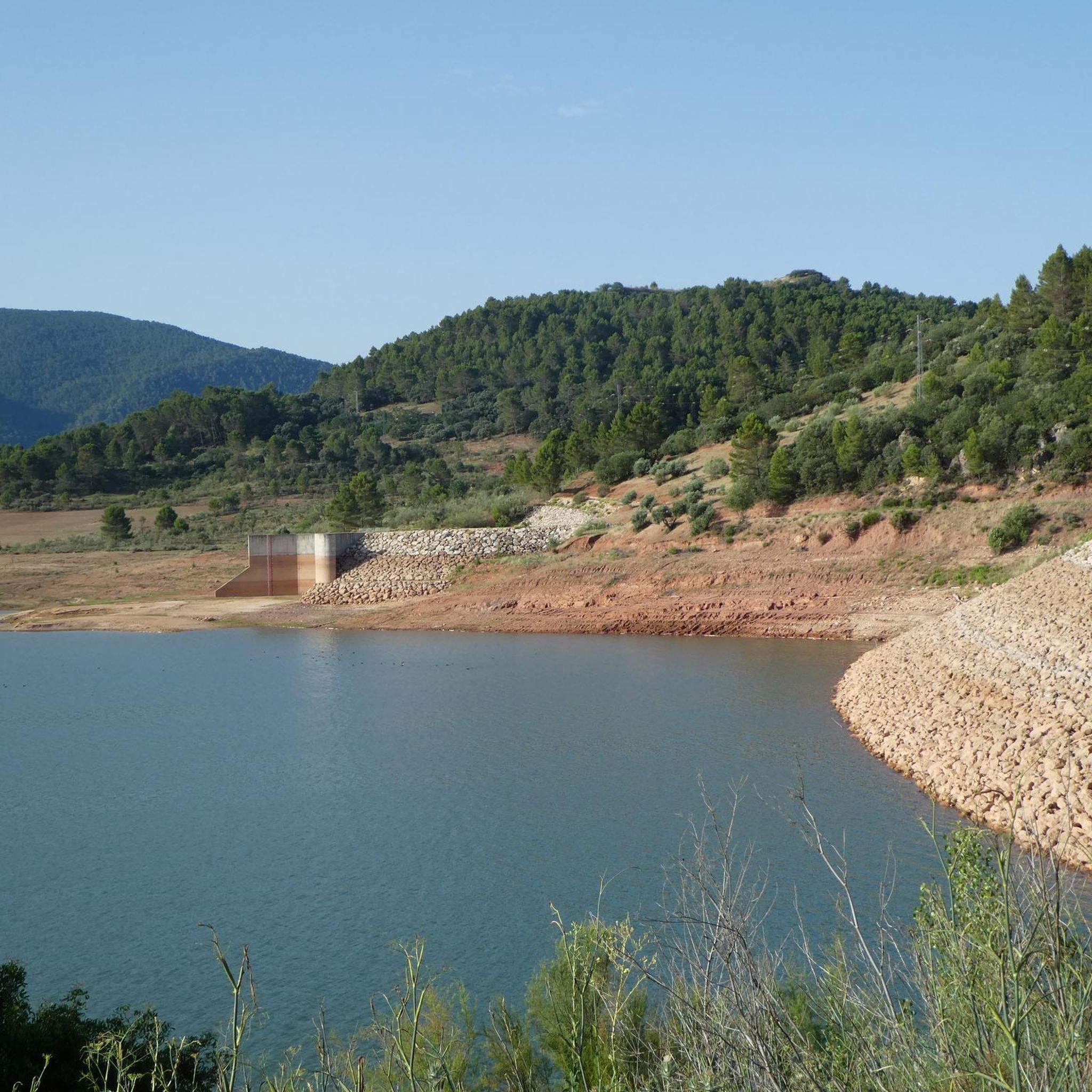
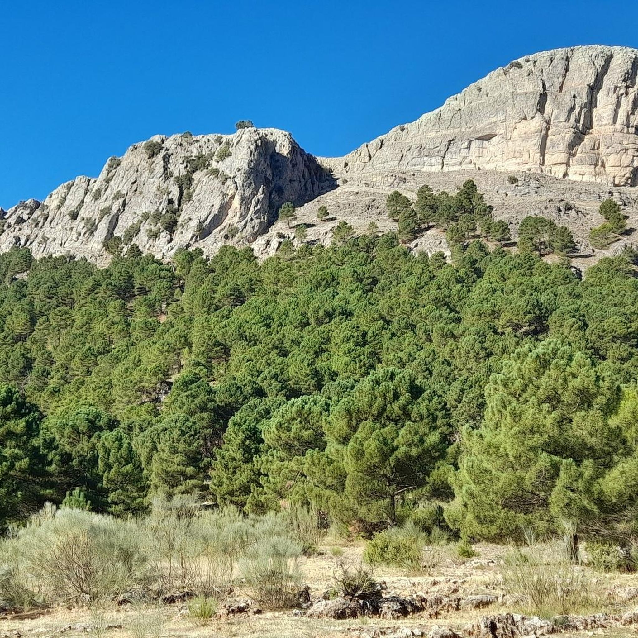
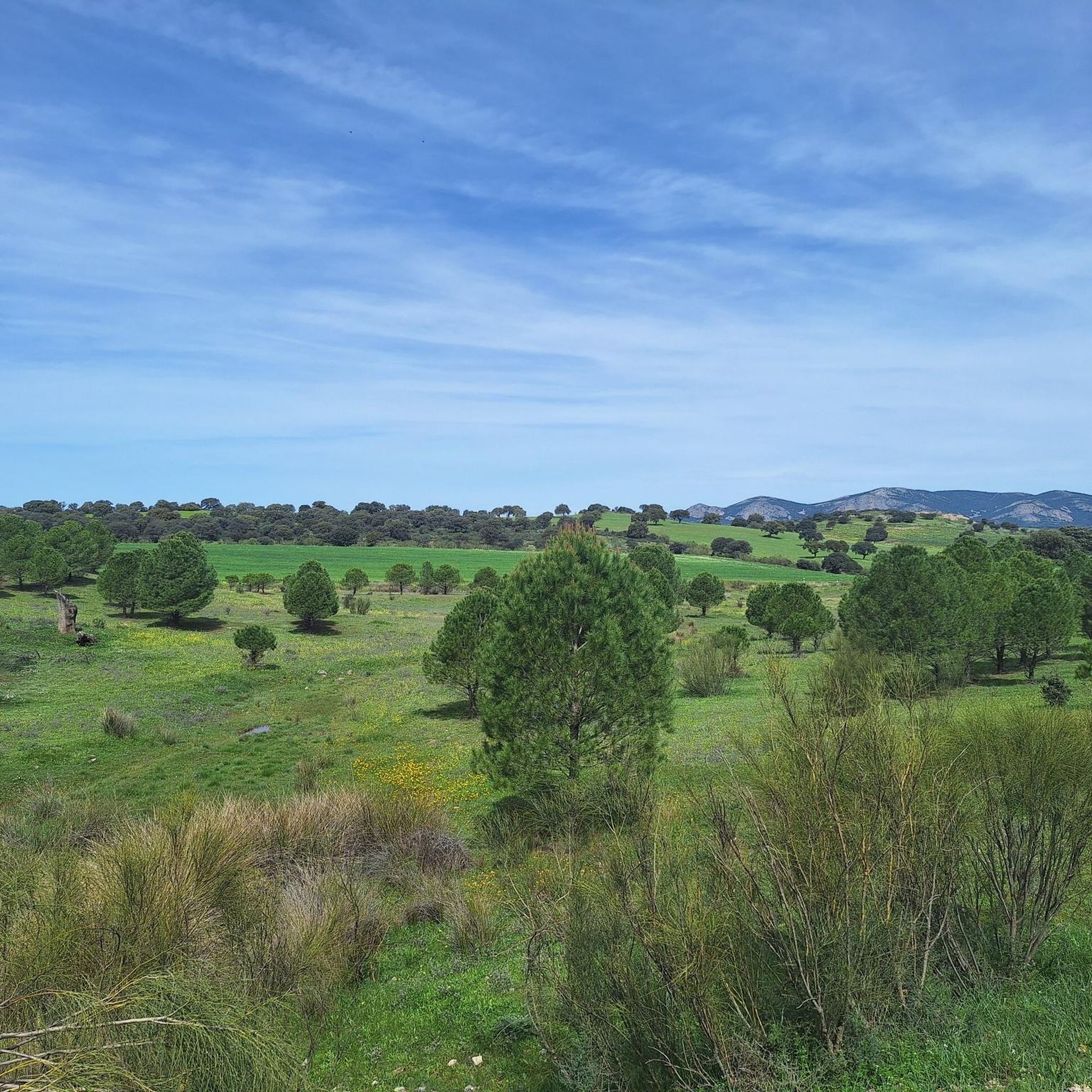
Jogging routes around Villarrodrigo offer diverse natural features in the province of Jaén, Andalusia, Spain. The terrain is characterized by "purple-colored lands" linking the Sierra de Segura foothills with the Sierra Morena mountain range. Runners can experience varied scenery, from gentle relief with ocher and pinkish clay tones to the gray crests of the Sierra de Segura mountains, which are dotted with pine forests and Mediterranean scrub. Extensive olive groves, cereal fields, and natural pastures also define the landscape, with the Onsares river traversing a luminous valley featuring traditional farmhouses and dense riverside vegetation.
Best jogging routes around Villarrodrigo
- The most popular jogging route is Arroyo del Tejo Spring – Los Picarazos loop from Villaverde de Guadalimar, a 21.9 miles (35.2 km) trail that takes 5 hours 33 minutes to complete. This difficult route traverses varied mountain terrain and dense pine forests.
- Another top favourite among local runners is Running loop from Villaverde de Guadalimar, a difficult 11.2 miles (18.0 km) path. This route offers a challenging ascent through the foothills, providing panoramic views of the surrounding olive groves and natural pastures.
- Local runners also love the El Cubo Tower, Siles – Siles loop from Siles, a 7.4 miles (11.9 km) trail leading through Mediterranean scrub and past historical points, often completed in about 1 hour 58 minutes.
- Jogging around Villarrodrigo is defined by pine forests, olive groves, and the foothills of the Sierra de Segura. The network offers options for different ability levels, from moderate loops to more challenging mountain trails.
- The guide includes highly-rated routes that showcase the best of the region's landscape. More than 90 runners have used komoot to explore Villarrodrigo's varied terrain.
Last updated: July 10, 2026
17
runners
35.1km
05:27
1,940m
1,940m
Hard run. Very good fitness required. Mostly paved surfaces. Suitable for all skill levels.
14
runners
18.0km
02:44
920m
920m
Hard run. Very good fitness required. Mostly paved surfaces. Suitable for all skill levels.

Sign up for free
18
runners
24.6km
03:25
900m
900m
Hard run. Very good fitness required. Mostly paved surfaces. Suitable for all skill levels.
7
runners
11.9km
01:27
250m
250m
Moderate run. Good fitness required. Mostly paved surfaces. Suitable for all skill levels.
7
runners
14.7km
02:23
930m
930m
Hard run. Very good fitness required. Mostly paved surfaces. Suitable for all skill levels.
Get access to more routes and recommendations from other explorers.
Sign up for free
Already have an account?
Our route recommendations are based on thousands of hikes, rides, and runs completed by other people on komoot.
Start today with a free account
Your next adventure awaits.
Login or Signup
Tips from the Community

Well marked trail except for about 500m that you have to create your own path. But in general a highly recommended route.
0
0

The rich landscape of this municipality, and its plant heritage, make it one of the most interesting for nature lovers, who can lose themselves among the streams and creeks that run through its area, such as the Arroyo de Fuente del Tejo, or climb the Picos de La Sagra and El Padrón, from where they can delight in the view of the entire Guadalimar Valley.
1
0
The Cross of the Fallen in Villaverde de Guadalimar is a monument that evokes the memory of those who lost their lives in war conflicts. This cross, located in the town of Villaverde de Guadalimar, has an imposing height of 150 meters, with arms of 24 meters each. In fact, it is crowned the highest cross in the world.
2
0

Small town that is nestled between mountains at a point where the Hermitage of San Bartolomé dominates the center of Bienservida.
0
0

Villaverde de Guadalimar is a good starting point for your adventure through the Los Calares del Mundo and La Sima natural park. Spectacular views of the exposed rock at La Peña del Cambrón.
1
1
Siles is an Andalusian border town on the edge of the Los Calares del Mundo and La Sima natural park. Perfect place to start your adventure.
2
0

A quiet and picturesque place, with an interesting historical and cultural heritage. It has a privileged natural environment, with a great diversity of landscapes and protected areas.
2
0
A place with some very curious rock formations, and with spectacular views.
2
0
Frequently Asked Questions
How many running routes are available around Villarrodrigo?
There are over 10 dedicated running routes around Villarrodrigo, offering a variety of distances and difficulty levels. These include options for moderate runs and more challenging mountain trails.
What kind of terrain can I expect on running trails in Villarrodrigo?
The terrain around Villarrodrigo is quite varied. You'll encounter "purple-colored lands" linking the Sierra de Segura foothills with the Sierra Morena mountain range, offering gentle relief with ocher and pinkish clay tones. Higher up, you'll find gray crests of the Sierra de Segura mountains, dotted with pine forests and Mediterranean scrub. Extensive olive groves, cereal fields, and natural pastures are also common, with some routes following the luminous valley of the Onsares river.
Are there options for beginners or easy jogging paths in Villarrodrigo?
While many routes are more challenging, a local option like "El Chorrillo," just 300 meters from Villarrodrigo, serves as a primary walking area for residents and could be suitable for an easier jog. The komoot guide also lists a few moderate routes, such as El Cubo Tower, Siles – Siles loop from Siles, which is 7.4 miles (11.9 km) and leads through Mediterranean scrub.
What about more challenging or advanced running trails in the area?
Villarrodrigo offers several difficult routes for experienced runners. For instance, the Arroyo del Tejo Spring – Los Picarazos loop from Villaverde de Guadalimar is a demanding 21.9 miles (35.2 km) trail traversing varied mountain terrain and dense pine forests. Another challenging option is the 5 km route from Villarrodrigo to Onsares and up to Piedra del Cambrón, a mountain at 1,552 meters.
Are there any circular running routes around Villarrodrigo?
Yes, many of the running routes in the area are designed as loops. For example, the Running loop from Villaverde de Guadalimar is an 11.2 miles (18.0 km) challenging ascent through the foothills, offering panoramic views. Another circular option is the Bienservida – Plaza Mayor de Bienservida loop from Bienservida, which is 24.6 km long.
What natural attractions or scenic viewpoints can I discover while running near Villarrodrigo?
The region is rich in natural beauty. On routes like the one from Villarrodrigo to Onsares, you can enjoy views of peaks such as Alto del Morrón (1,284 m), Peña de los Enamorados (1,398 m), and Cerro de la Atalaya (1,293 m). From the summit of Piedra del Cambrón (1,552 m), it's reportedly possible to view five Spanish provinces. The picturesque village of Onsares itself, with its river, traditional farmhouses, and ancient poplars, is a scenic highlight. You might also encounter highlights like a Charming picnic area or the Peña del Olivar Recreation Area.
Are there any historical landmarks or points of interest along the running routes?
Yes, some routes pass by historical sites. For example, the El Cubo Tower, Siles – Siles loop from Siles leads past historical points, including the El Cubo Tower, Siles itself. Other historical structures in the broader area include the Castillo de la Yedra Ruins and the Keep Tower of Hornos de Segura.
Is it possible to reach the running trails using public transport?
Information regarding specific public transport links directly to the trailheads around Villarrodrigo is limited. It is generally recommended to use a personal vehicle to access many of the more remote running routes in this rural region of Jaén.
Where can I park when accessing jogging routes in Villarrodrigo?
While specific parking areas for each trailhead are not detailed, most routes starting from villages like Villarrodrigo or Villaverde de Guadalimar will likely have parking available within or on the outskirts of the village. For routes in more natural or protected areas, look for designated parking lots or roadside pull-offs near the starting points.
Are the running routes around Villarrodrigo suitable for dogs?
Many outdoor trails in rural Spain are generally dog-friendly, especially if your dog is well-behaved and kept on a leash. However, it's always advisable to check local regulations, particularly when running through agricultural areas, private lands, or within the vicinity of natural parks like the Sierra de Cazorla, Segura y Las Villas, which may have specific rules regarding pets.
What is the best time of year to jog in Villarrodrigo?
The region's climate suggests that spring and autumn would be ideal for jogging, offering milder temperatures and pleasant scenery. Summers can be very hot, making early morning or late evening runs preferable. Winters are generally mild, but higher elevation routes in the Sierra de Segura foothills might experience colder conditions.
What do other runners enjoy the most about jogging in Villarrodrigo?
Runners frequently praise the diverse natural features and varied scenery of the Villarrodrigo area. The mix of olive groves, pine forests, and the unique "purple-colored lands" provides a constantly changing backdrop. The challenging mountain trails and panoramic views from higher elevations are also highly appreciated by the komoot community.
Most popular attractions around Villarrodrigo

Get inspired with the komoot mobile app


Explore more
Browse the best Running Trails & Routes in other regions.
