The best running trails around Peñascosa
211
runners
25
runs
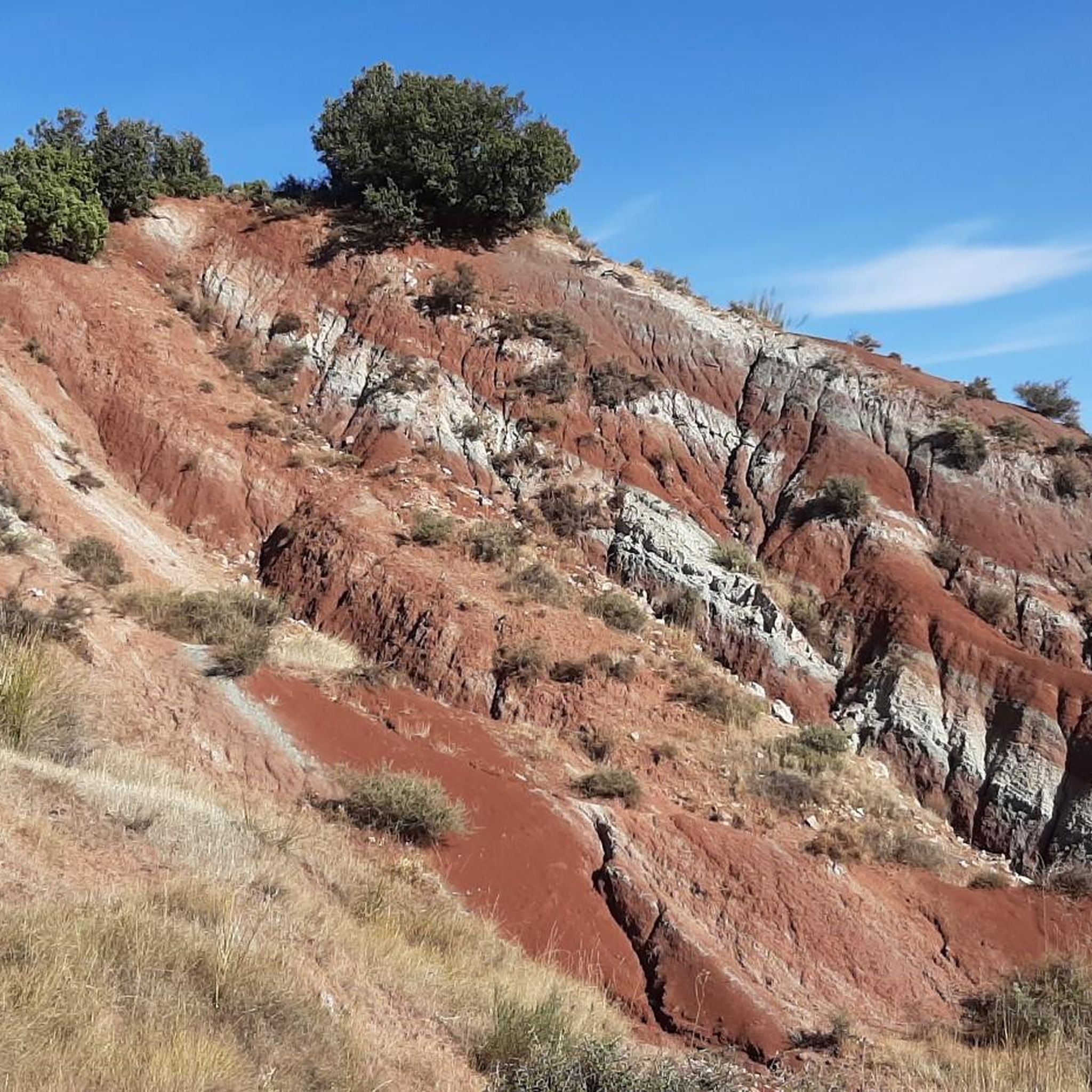
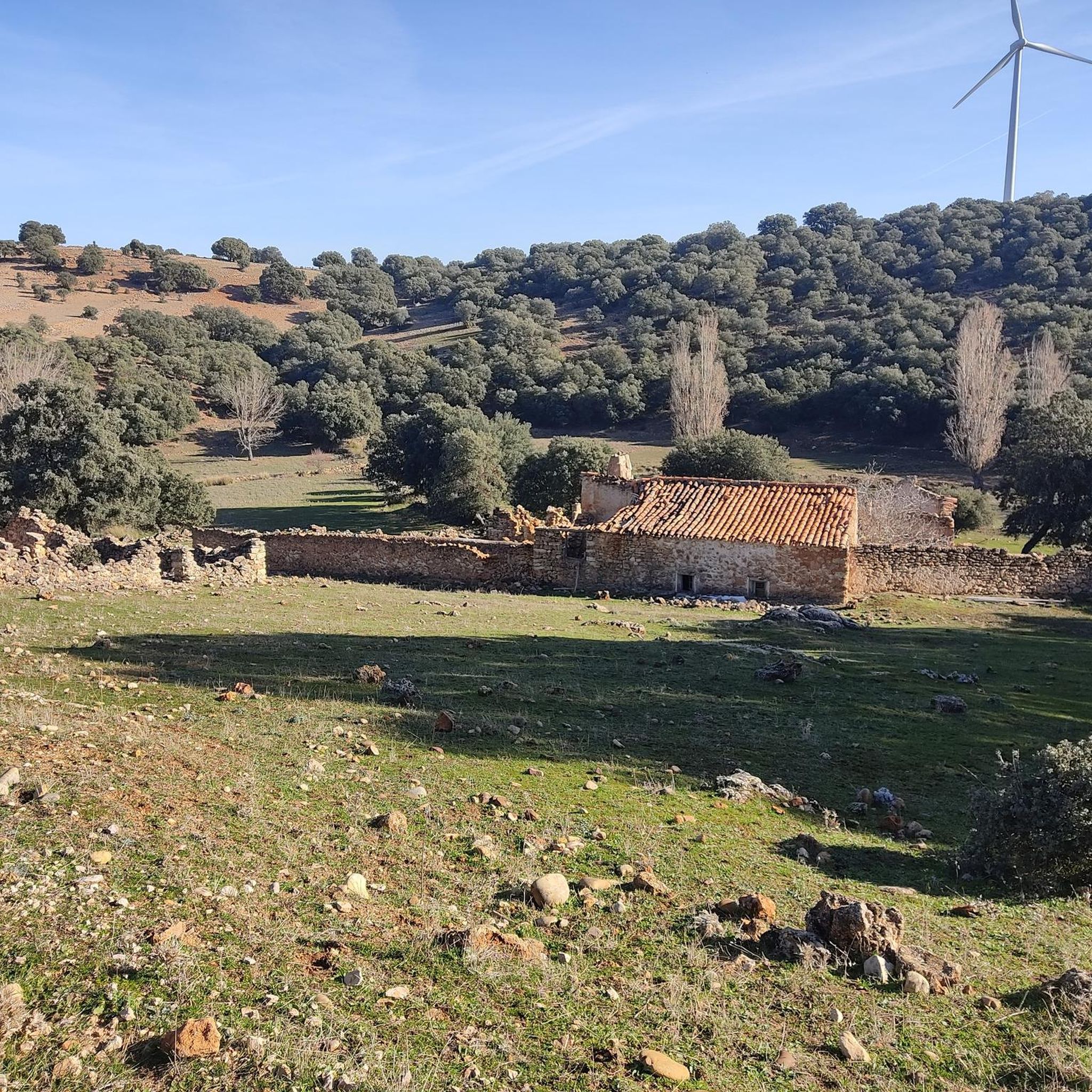
Jogging around Peñascosa offers a diverse landscape within the Sierra de Alcaraz, characterized by rocky outcrops, ravines, and river courses. The region features reforested pine forests at elevations between 1,000 and 1,600 meters, providing varied terrain for running. Numerous streams and barrancos contribute to the natural beauty and offer diverse paths. This area provides an extensive network of trails suitable for various fitness levels, from flat areas to more strenuous mountain climbs.
Best jogging routes around Peñascosa
- The most popular jogging route is Robledo - Sierra de Alcaraz Greenway Loop, a 7.5 miles (12.0 km) trail that takes 1 hour 16 minutes to complete, offering views of the Sierra de Alcaraz.
- Another top favourite among local runners is Río Madera – Batán del Puerto loop from Paterna del Madera, a difficult 28.0 miles (45.1 km) path that explores river courses and mountainous terrain.
- Local runners also love the Alto de Peñalta – Sima loop from Paterna del Madera, a 12.1 miles (19.5 km) trail leading through elevated landscapes, often completed in about 2 hours 58 minutes.
- Jogging around Peñascosa is defined by mountainous terrain, reforested pine forests, and numerous ravines and rivers. The extensive network offers options for easy, moderate, and difficult ability levels.
- The guide includes highly-rated routes that showcase the best of the region's landscape. More than 231 runners have used komoot to explore Peñascosa's varied terrain.
Last updated: June 27, 2026
12.0km
01:17
110m
110m
Moderate run. Good fitness required. Mostly accessible paths. Some sure footedness required.
36
runners
45.1km
06:28
1,830m
1,830m
Hard run. Very good fitness required. Mostly paved surfaces. Suitable for all skill levels.

Sign up for free
5
runners
17.0km
02:21
600m
600m
Hard run. Very good fitness required. Mostly paved surfaces. Suitable for all skill levels.
11
runners
20.9km
03:00
810m
810m
Hard run. Very good fitness required. Mostly paved surfaces. Suitable for all skill levels.
10
runners
18.5km
02:36
710m
700m
Hard run. Very good fitness required. Mostly paved surfaces. Suitable for all skill levels.
Get access to more routes and recommendations from other explorers.
Sign up for free
Already have an account?
Our route recommendations are based on thousands of hikes, rides, and runs completed by other people on komoot.
Start today with a free account
Your next adventure awaits.
Login or Signup

Tips from the Community

Don Quijote Route From Albacete to Alcaraz and Bienservida The conversion of the old Baeza-Utiel railway line into a Via Verde offers nature lovers a unique route from Albacete to Bienservida, a town on the border with the province of Jaén. Along the way, there are tunnels and old train stations through which no train ever ran and where no passengers ever waited. The town of Robledo, near which we are, is one of the highlights of this special path. Its old station has been converted into rural accommodation.
0
0

This fountain is located on a popular hiking route that leads to the top of Pico Almenara, the highest point in the mountain range. The fountain is an ideal place to rest and recharge your batteries before continuing the climb. The route that passes by the fountain offers spectacular views and is known for its natural beauty.
4
0
The Sierra de Alcaraz is part of the pre-Betic system, a subdivision of the Betic mountain ranges. The predominant vegetation includes reforested pine forests between 1,000 and 1,600 metres, and low scrub near the summit. The most common ascent route is along the south face, starting from the Pino de los Muchachos spring. Although it is not a difficult mountain to access, the climb requires some physical preparation.
5
0

Beautiful views of Puntal de la Paridera.
0
0

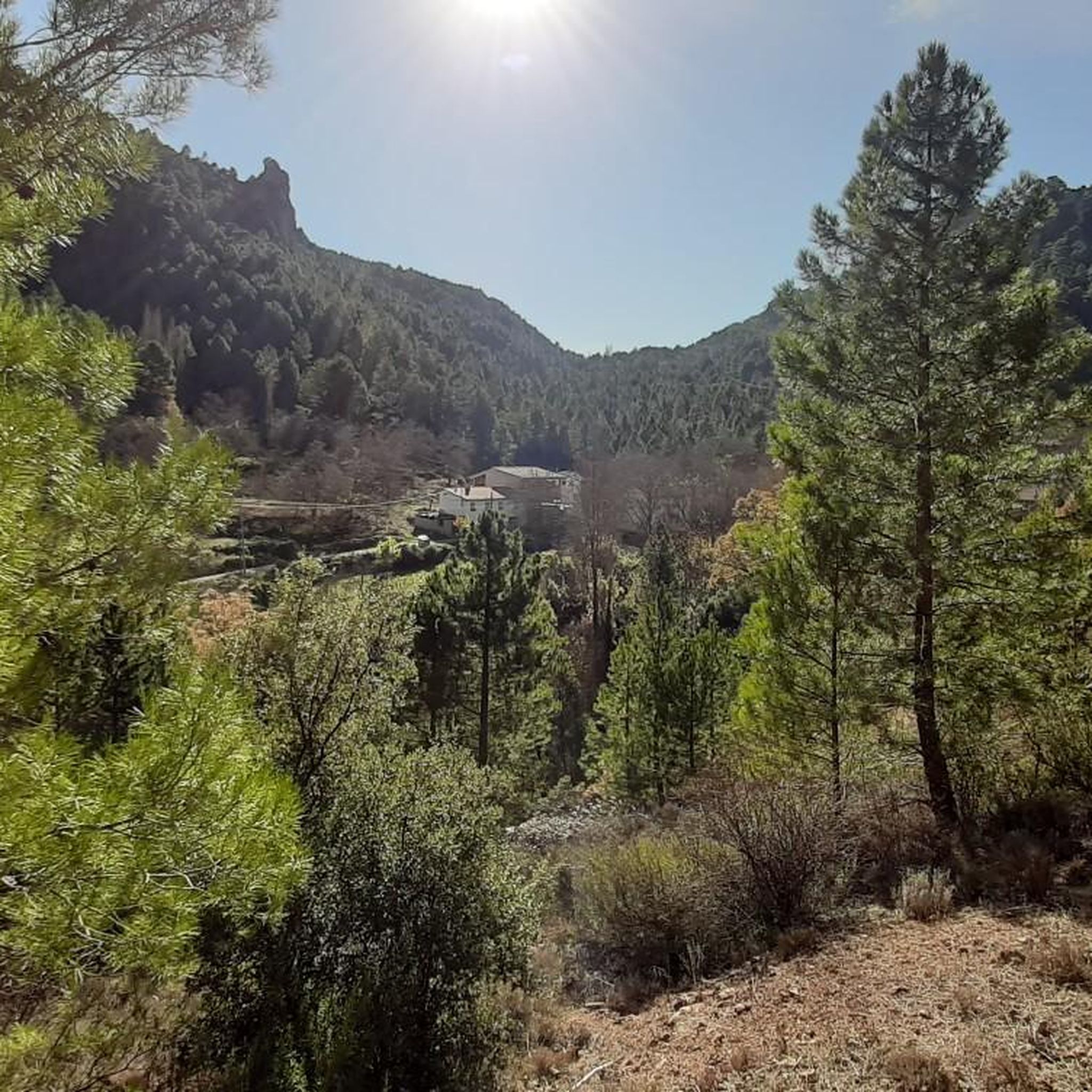
Small town nestled in the Madera River valley. Surrounded by an impressive riverside forest. It is worth stopping to visit it.
2
0

If you like to explore the mountains, Riópar may be your ideal destination, since it has a large number of hiking routes for all levels. They are perfectly signposted with beacons that give you information about the kilometers away from the next point of interest.
1
0

Incredible views welcome you on this climb next to a water source. You are facing the highest peak of the mountain range.
2
0
Surrounded by nature and wild adventure on the slopes of Pico de La Almenara, the town of Paterna is located on the geographical limit between the leafy mountains and the arid land of Hidalgo.
1
0
Frequently Asked Questions
What kind of terrain can I expect on the running routes around Peñascosa?
The running routes in Peñascosa offer a diverse landscape within the Sierra de Alcaraz. You'll encounter rocky outcrops, ravines, and river courses, often through reforested pine forests at elevations between 1,000 and 1,600 meters. This provides a mix of flat areas and more strenuous mountain climbs, suitable for various fitness levels.
Are there any easy running routes for beginners in Peñascosa?
Yes, while many routes are challenging, there are options for beginners. For instance, the guide features at least one easy route, and the extensive trail network includes paths suitable for a more relaxed jog. You can find a moderate option like the Robledo - Sierra de Alcaraz Greenway Loop, which is 7.5 miles long and offers scenic views without extreme difficulty.
Can I find long-distance running trails in the Peñascosa area?
Absolutely. Peñascosa is an excellent destination for long-distance running. The region boasts several challenging routes, such as the Río Madera – Batán del Puerto loop from Paterna del Madera, which spans 28.0 miles (45.1 km) and explores extensive river courses and mountainous terrain.
What natural landmarks or points of interest can I see while jogging in Peñascosa?
Peñascosa's routes often pass by stunning natural features. You might encounter unique trees like the Pino-Roble, or explore areas near the Laguna del Arquillo, a beautiful karstic lake. The Batán Waterfall, particularly impressive after rain, is also a notable sight nearby.
Are there any circular running routes available in Peñascosa?
Yes, many of the running trails in Peñascosa are designed as loops, allowing you to start and finish in the same location. Examples include the Robledo - Sierra de Alcaraz Greenway Loop and the Alto de Peñalta – Sima loop from Paterna del Madera, offering varied distances and difficulties.
What is the best time of year to go running in Peñascosa?
Peñascosa offers a rewarding experience for runners throughout much of the year. The region's diverse landscapes are beautiful in spring and autumn with milder temperatures. Summer can be warm, making early morning or late afternoon runs ideal. Winter running is possible, especially at lower elevations, but higher mountain trails may require more preparation due to colder conditions.
Are the running trails in Peñascosa suitable for families?
While many trails are challenging, Peñascosa does offer options that can be enjoyed by families. Look for routes described as 'easy' or 'moderate' in difficulty. The extensive network means you can find paths through forests or along rivers that are less strenuous and more accessible for a family outing.
Can I bring my dog on the running trails in Peñascosa?
Generally, the natural trails around Peñascosa are dog-friendly, allowing you to enjoy a run with your canine companion. However, it's always recommended to keep your dog on a leash, especially in areas with wildlife or near livestock, and to check for any specific local regulations or signage on individual trails.
Are there any viewpoints or scenic spots along the running routes?
Yes, the mountainous terrain of Peñascosa provides numerous opportunities for stunning views. Routes often lead through elevated landscapes, offering panoramas of the Sierra de Alcaraz. The Almenara Peak and the Spring and Views from the Base of Pico Almenara are notable spots for impressive vistas.
Where can I find parking for the trailheads in Peñascosa?
Many of the well-signposted routes in Peñascosa, including those suitable for running, often start directly from the town square or have designated parking areas nearby. For specific trailheads, it's advisable to check the route details on komoot, as some longer loops might originate from villages like Paterna del Madera or near mountain refuges such as Refugio del Mal Paso.
What do other runners enjoy most about jogging in Peñascosa?
Runners frequently praise the unspoiled landscapes and the tranquility of the region. The diverse terrain, from reforested pine forests to river courses and ravines, offers a constantly changing and engaging experience. Many appreciate the extensive network of trails that cater to all levels, allowing for both peaceful jogs and challenging trail runs.
Are there any mountain refuges along the running routes in Peñascosa?
Yes, the area around Peñascosa features mountain refuges that can serve as resting points or starting locations for runs. Refuges like Malpaso, Cañada de Bogarra, and Fuente La Peña are integrated into the network of outdoor activities, providing facilities for those exploring the trails, such as the Collado de los Longarejos loop from Refugio del Mal Paso.
Most popular attractions around Peñascosa

Get inspired with the komoot mobile app


Explore more
Browse the best Running Trails & Routes in other regions.
