The best mountain hikes around Entzia
5.0
(1)
20
hikers
5
hikes
Mountaineering around Entzia offers a diverse landscape characterized by varied elevations and natural features within the Llanada Alavesa region. The area presents a mix of forested sections and open mountain terrain, suitable for ascents and traverses. Routes often navigate through natural areas, providing opportunities to experience the region's topography. The terrain includes both moderate and more challenging sections, catering to different mountaineering skill levels.
Best mountaineering routes around Entzia
- The most popular mountaineering route is Peña del Cura – Larredez…
Last updated: July 15, 2026
3
hikers
8.37km
03:07
450m
450m
Moderate mountaineering route. Good fitness required. Mostly accessible paths. Sure-footedness required.
5.0
(1)
1
hikers
8.75km
02:42
290m
290m
Moderate mountaineering route. Good fitness required. Easily-accessible paths. Suitable for all skill levels.

Sign up for free
3
hikers
10.1km
04:14
640m
640m
Hard mountaineering route. Good fitness required. Sure-footedness, sturdy shoes and alpine experience required.
4
hikers
12.8km
04:18
610m
610m
Moderate mountaineering route. Good fitness required. Easily-accessible paths. Suitable for all skill levels.
9
hikers
Hard mountaineering route. Good fitness required. Sure-footedness, sturdy shoes and alpine experience required.
Our route recommendations are based on thousands of hikes, rides, and runs completed by other people on komoot.
Start today with a free account
Your next adventure awaits.
Login or Signup
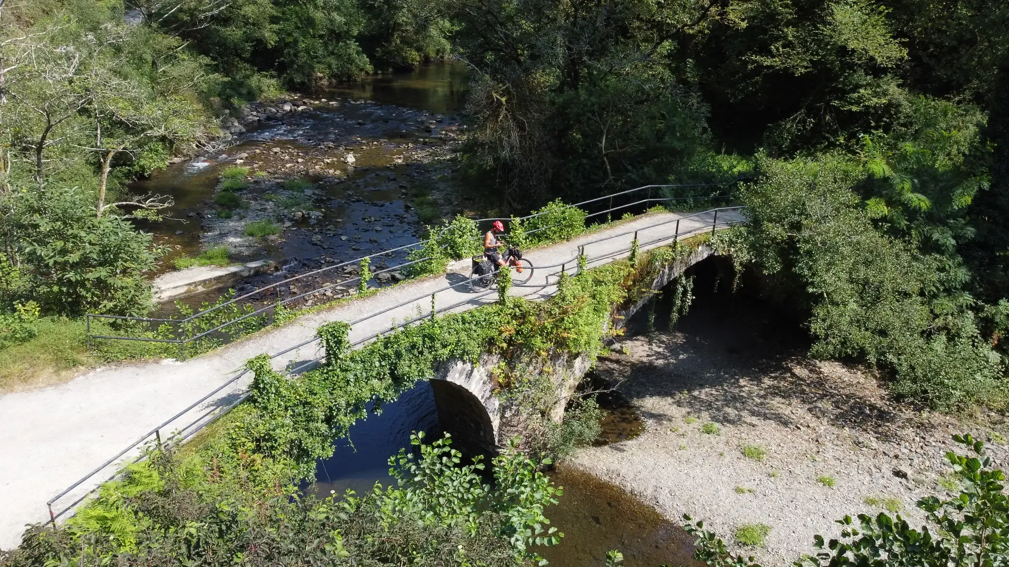
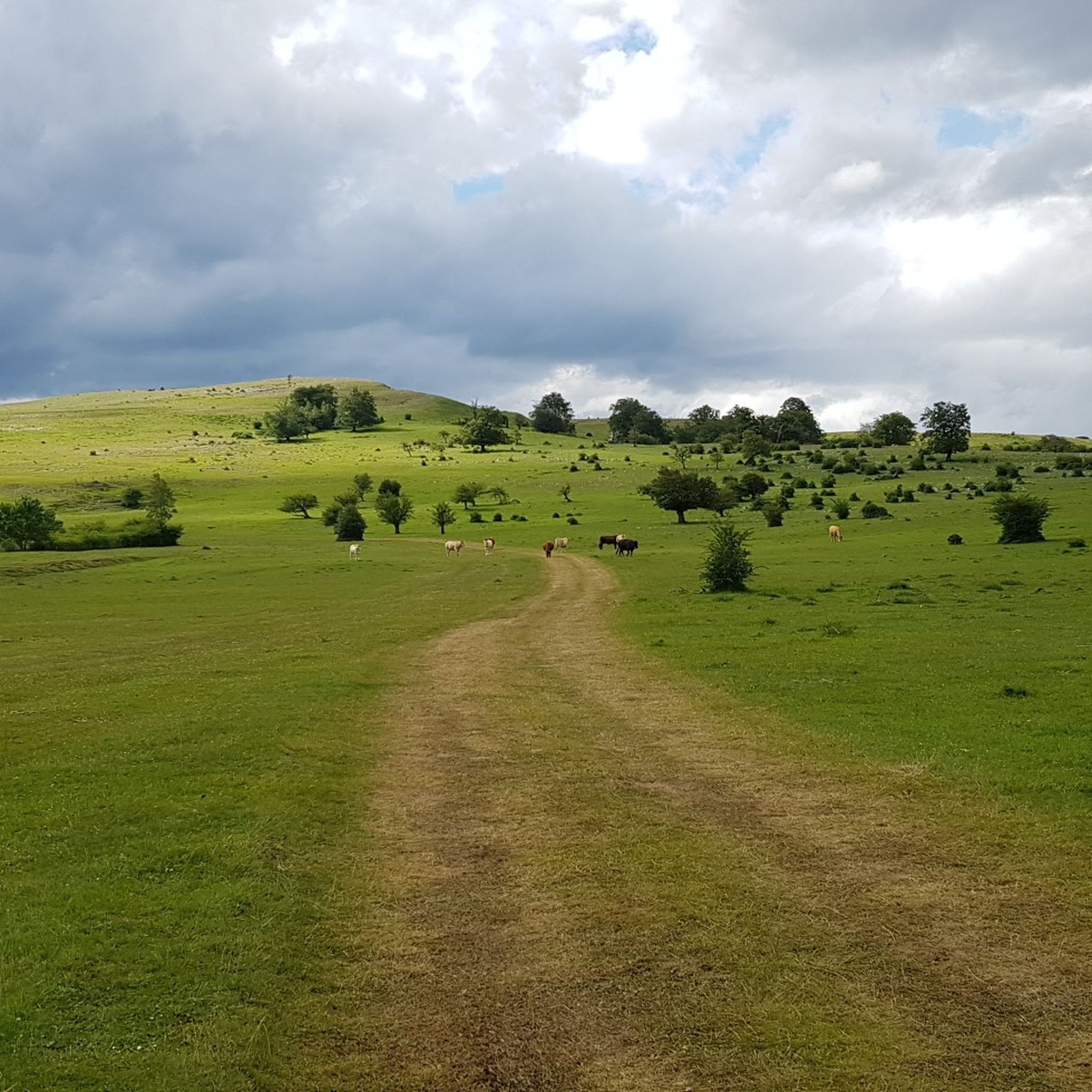
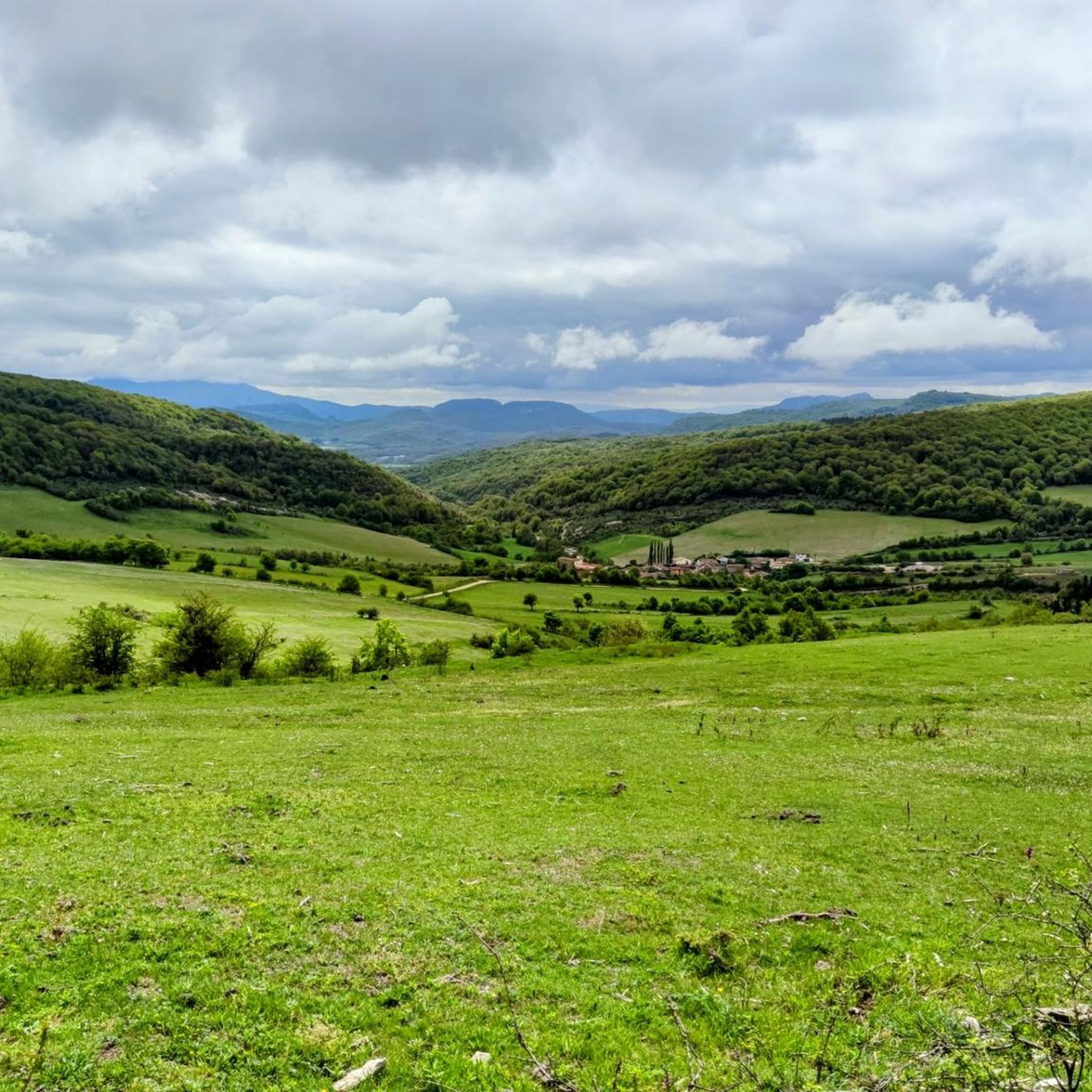

Other adventures around Entzia

Tips from the Community


One of the highest points in the Basque Country, let yourself be enveloped by the fog and it will seem like a magical place.
0
0
A place to remember, a joy to visit.
4
0

Beautiful place, I recommend doing that route.
2
0
On this occasion I climbed it from Egileor, through the Friars' path.
3
0

nice place and good bike route both on road and gravel
2
0

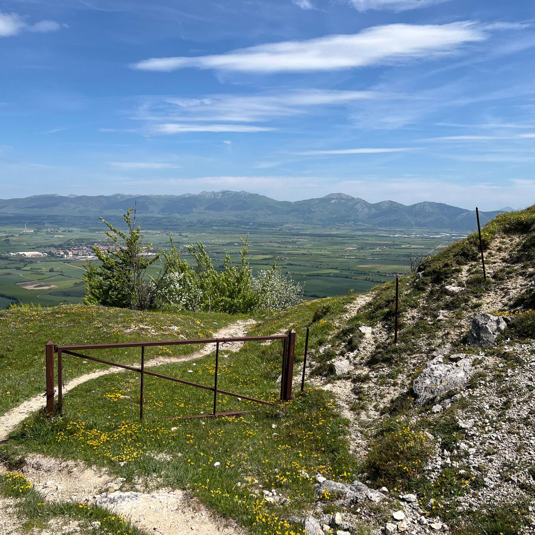
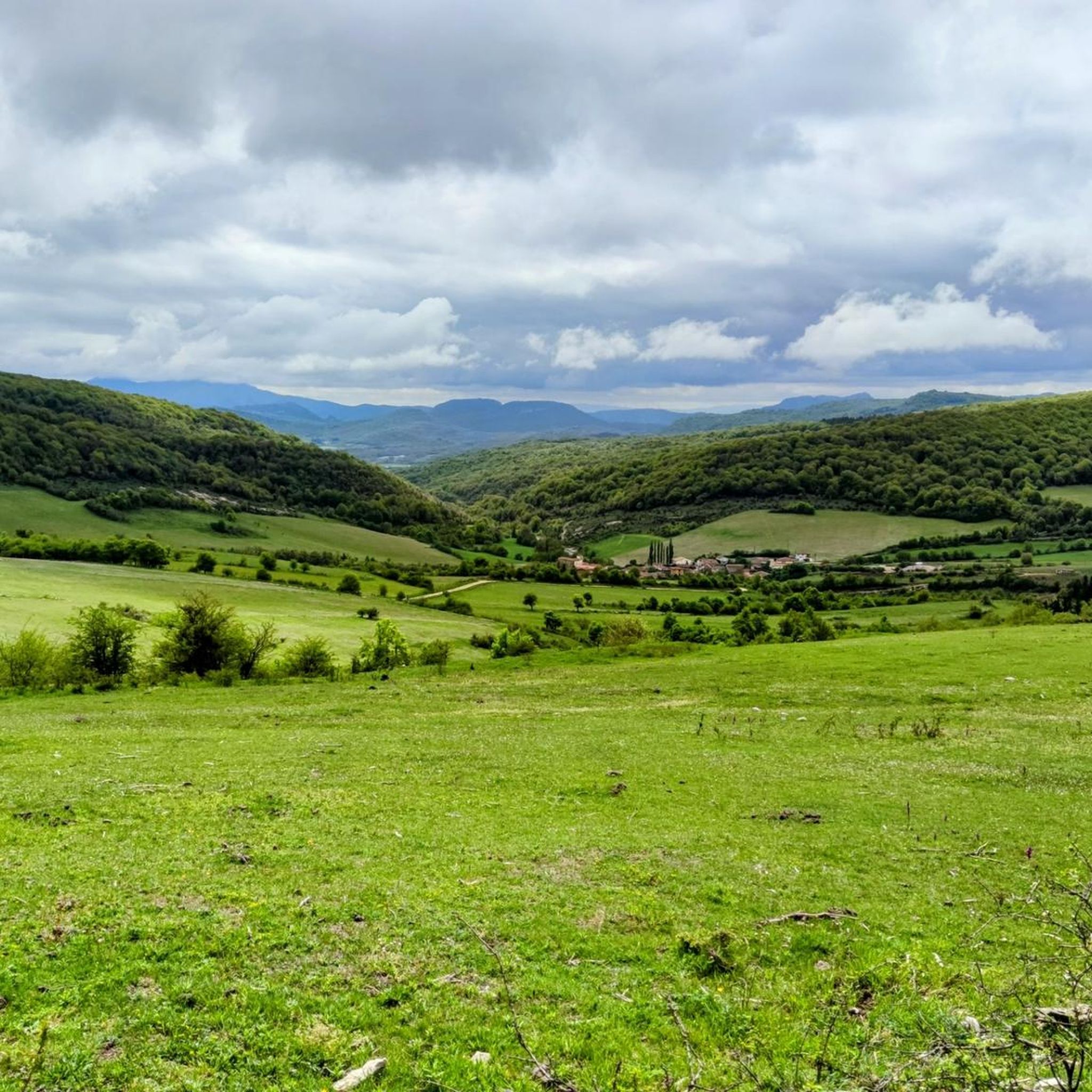
Near Egileor you can enjoy the views of the planted fields, the hamlets and the mountains that surround the entire plain. This combination of natural and humanized landscape is charming.
0
0
Frequently Asked Questions
What is the general difficulty level of mountaineering routes in Entzia?
Entzia offers a mix of mountaineering routes. You'll find 3 moderate routes and 3 difficult routes, providing options for various skill levels. The terrain includes both forested sections and open mountain landscapes with varied elevations.
Are there any circular mountaineering routes in Entzia?
Yes, several routes in Entzia are designed as loops. For example, you could explore the Peña del Cura – Larredez loop from Sorginetxe trikuharria, the Fresh water spring loop from Larraona, or the more challenging Olanoko Aitzandia – Arbarain/Illarragorri loop from Asparrena.
What kind of natural attractions can I discover along the mountaineering routes in Entzia?
The Entzia region is rich in natural beauty. You can encounter impressive features like the Zalamportillo Arch, the scenic Igoroin Waterfalls, or the dramatic Fajeta Peña Rasgada gorge. There are also several summits to conquer, such as Txumarregi and Peñalascinco (907m).
How long do mountaineering routes in Entzia typically take to complete?
The duration of mountaineering routes in Entzia varies. Shorter routes, like the Peña del Cura – Larredez loop, can take around 3 hours. Longer and more challenging routes, such as Olanoko Aitzandia – Arbarain/Illarragorri loop or Aratz – Imeleku loop from Araia, might require 4 to 5 hours or more, depending on your pace and conditions.
Are there any beginner-friendly mountaineering routes in Entzia?
While there are no routes specifically graded as 'easy' for mountaineering, Entzia offers several moderate options that could be suitable for beginners with a good level of fitness. The Fresh water spring loop from Larraona is a moderate path featuring a mix of forest and open areas, which could be a good starting point.
What is the best time of year for mountaineering in Entzia?
The best time for mountaineering in Entzia generally depends on weather conditions. Spring and autumn often offer pleasant temperatures and stable weather. Summer can be good, but be prepared for warmer conditions, especially in open areas. Winter mountaineering is possible but requires appropriate gear and experience due to potential snow and ice.
What do other mountaineers say about their experience in Entzia?
The mountaineering routes in Entzia are highly regarded by the komoot community, holding an average rating of 5.0 stars from over 2 reviews. Many of the 30+ mountaineers who have explored the area appreciate the varied terrain, from forested paths to open mountain landscapes, and the opportunities to experience the region's unique topography.
Are there any advanced mountaineering trails in Entzia?
Yes, for experienced mountaineers seeking a challenge, Entzia offers several difficult routes. The Aratz – Imeleku loop from Araia, with significant elevation gain, and the Olanoko Aitzandia – Arbarain/Illarragorri loop from Asparrena are both graded as difficult and provide a demanding experience.
How many mountaineering routes are available in the Entzia region?
There are 6 distinct mountaineering routes available for exploration in the Entzia region, catering to various preferences and skill levels.
Are there any specific permits required for mountaineering in Entzia?
Based on available information, there are no specific permits mentioned as being required for general mountaineering activities in the Entzia region. However, it's always advisable to check local regulations or protected area rules before your trip.
Where can I find parking for the Entzia mountaineering trails?
Specific parking information is usually detailed on individual tour pages. Many routes start from villages or accessible points where parking might be available. For example, routes like the Peña del Cura – Larredez loop start near Sorginetxe trikuharria, and the Fresh water spring loop begins from Larraona, where you can typically find parking options.
What is the average distance of mountaineering routes in Entzia?
The mountaineering routes in Entzia vary in length, ranging from approximately 8.4 km (5.2 miles) for routes like the Peña del Cura – Larredez loop, up to about 12.8 km (8 miles) for longer expeditions such as the Balsa de Okomendia – Otzamendi loop from 39. fazeria.
Most popular routes around Entzia
Most popular attractions around Entzia

Get inspired with the komoot mobile app


Explore more
Browse the best Mountain Hikes & Routes in other regions.
