The best walks and hikes around Cármenes
4.5
(142)
1,202
hikers
42
hikes
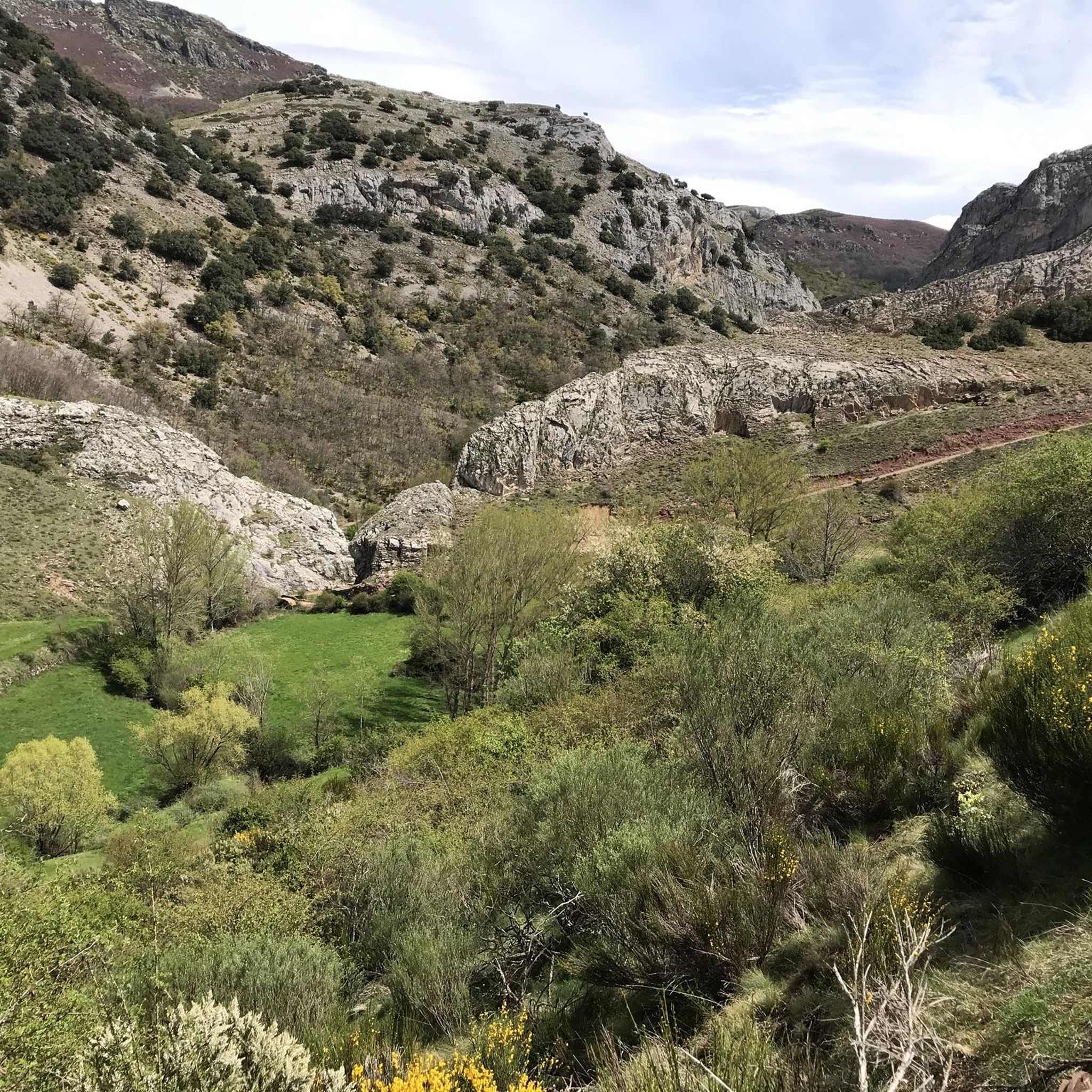
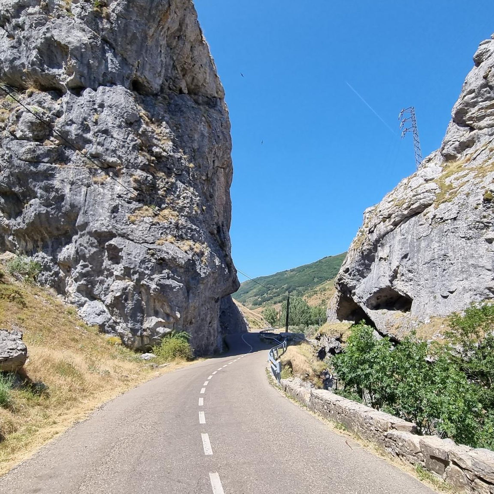
Hiking around Cármenes reveals a landscape characterized by mountainous terrain, dense forests, and scenic valleys. The region offers diverse hiking routes, ranging from gentle walks to more challenging ascents. These trails often feature natural attractions and provide opportunities to explore varied ecosystems.
Best hiking trails around Cármenes
- The most popular hiking route is Faedo de Ciñera - circular route, a 4.0 miles (6.5 km) trail that takes about 1 hour 55 minutes to complete. This easy circular path leads…
Last updated: August 31, 2026
5.0
(5)
39
hikers
11.1km
03:20
360m
360m
Moderate hike. Good fitness required. Easily-accessible paths. Suitable for all skill levels.
5.0
(4)
37
hikers
14.8km
05:44
1,050m
1,050m
Hard hike. Very good fitness required. Easily-accessible paths. Suitable for all skill levels.

Sign up for free
4.0
(3)
14
hikers
Easy hike. Great for any fitness level. Easily-accessible paths. Suitable for all skill levels.
4.3
(3)
12
hikers
Moderate hike. Good fitness required. Easily-accessible paths. Suitable for all skill levels.
4.7
(3)
10
hikers
6.61km
01:54
160m
160m
Easy hike. Great for any fitness level. Easily-accessible paths. Suitable for all skill levels.
Get access to more routes and recommendations from other explorers.
Sign up for free
Already have an account?
Our route recommendations are based on thousands of hikes, rides, and runs completed by other people on komoot.
Start today with a free account
Your next adventure awaits.
Login or Signup
Tips from the Community

Polvoredo (2007 m) is the closest peak to the city of León above 2000 meters high. Going up from Vegacervera you will gain more than 1000 meters of elevation gain in just 7 kilometers, so get ready for a demanding climb. The climb is constant and with slopes up to almost 40%, which makes the descent along the same path difficult if you are not used to intense hiking. But you can be sure that the effort is worth it - the views are impressive, from the top you can see its neighbor Peña Galicia and all along the way we see the towns of Villalfeide, Coladilla, Vegacervera and Villar del Puerto.
3
0

From the top of Peña Grande, located at 1,452 meters above sea level, we have wonderful views to the south where the Peña de Machamedio stands out.
1
1
From this point, approaching the Torío river, we have a magnificent image of the Roman bridge next to a small waterfall.
2
0
Near a beautiful Roman bridge we find the cement works and the church of Villalfeide, a good example of rural religious architecture.
2
0
From the Carrozal pass, located at about 1,500 meters above sea level, we have a beautiful panoramic view, above all, of the Ubiña Massif.
2
0
Located at 1,981 meters above sea level, Pico de la Pizarra offers us fantastic views. A good time to rest and regain strength before continuing with our route.
2
0
Located at 1,997 meters above sea level, this pass offers us a beautiful panoramic view of the landscape that surrounds us.
2
0
From La Atalaya de Valporquero we have beautiful views of the landscape that surrounds us. We can distinguish the closest towns and the peaks that rise above them.
4
0
Frequently Asked Questions
How many hiking trails are available in Cármenes?
Cármenes offers a diverse selection of over 25 hiking routes. These trails cater to various preferences, from gentle walks to more challenging ascents through mountainous terrain.
What are the typical difficulty levels for hiking in Cármenes?
The trails in Cármenes range in difficulty. You'll find 6 easy routes, 16 moderate paths, and 5 more difficult hikes, ensuring options for all fitness levels. For example, the Ascent to Polvoredo from Vegacervera — round trip is a challenging option.
Are there any circular hiking routes in Cármenes?
Yes, Cármenes features several excellent circular routes. A popular choice is the Faedo de Ciñera - circular route, which is an easy path through a notable forest landscape. Another option is the Valdorria, Fairy Forest, and San Froilán Hermitage Loop, which takes you through forests and past a hermitage.
What kind of natural features can I expect to see on the trails?
Hiking in Cármenes will immerse you in mountainous terrain, dense forests, and scenic valleys. The region is known for its picturesque landscapes, including areas like the 'Fairy Forest' mentioned in the Valdorria loop, and offers beautiful viewpoints overlooking the northern coast from higher elevations.
Are there any notable landmarks or attractions along the hiking trails?
Yes, several trails lead to or pass by interesting landmarks. For instance, the Valdorria, Fairy Forest, and San Froilán Hermitage Loop includes the San Froilán Hermitage. You can also find various mountain peaks and passes nearby, such as Cruz de San Salvador or Puerto de Piedrafita.
Are the hiking trails in Cármenes suitable for families?
Many trails in Cármenes are suitable for families, especially the easier routes. The Faedo de Ciñera - circular route and the ExoKarst Route are both easy and offer engaging natural surroundings for children and adults alike.
What do other hikers say about their experience in Cármenes?
The hiking routes in Cármenes are highly regarded by the komoot community, with an average rating of 4.6 stars from over 120 reviews. Hikers often praise the varied terrain, the beauty of the forests, and the well-maintained paths that make exploring the region a rewarding experience.
Is there parking available near the trailheads in Cármenes?
While specific parking information for each trailhead isn't detailed here, areas associated with Cármenes, especially those popular for hiking, generally offer designated parking facilities. It's advisable to check local signage or specific route descriptions for the most accurate parking details before your visit.
Can I reach the hiking trails using public transport?
Public transport options to reach specific trailheads in Cármenes can vary. For some routes, local bus services might connect to nearby villages, but direct access to all trailheads via public transport may be limited. Planning ahead and checking local transport schedules is recommended.
What is the best time of year to go hiking in Cármenes?
The region around Cármenes offers hiking opportunities throughout much of the year. Spring and autumn generally provide pleasant temperatures and vibrant scenery, making them ideal. Summer can be warm, especially at lower elevations, while winter hiking is possible but may require appropriate gear for higher, potentially snowy, mountainous areas.
Are there any challenging hikes for experienced hikers?
Yes, for experienced hikers seeking a challenge, Cármenes offers routes with significant elevation gain. The Ascent to Polvoredo from Vegacervera — round trip is a difficult trail with over 1000 meters of elevation gain, requiring good fitness and sure-footedness.
Are dogs allowed on the hiking trails in Cármenes?
Generally, many outdoor areas in Cármenes are dog-friendly, allowing well-behaved dogs on trails, often on a leash. However, it's always best to check specific local regulations or park rules for each trail you plan to visit, especially concerning nature reserves or protected areas.
Most popular attractions around Cármenes

Get inspired with the komoot mobile app


Explore more
Browse the best Hikes in other regions.
