The best walks and hikes around Retuerta
4.3
(97)
713
hikers
44
hikes
Hiking around Retuerta offers diverse landscapes characterized by rolling hills, expansive vineyards, and significant natural features. The region is home to the Sabinares de Arlanza - La Yecla Natural Park, providing unique Mediterranean environments. Trails traverse varied terrain, from gentle paths through the countryside to more challenging routes with notable elevation changes.
Best hiking trails around Retuerta
- The most popular hiking route is Mataviejas Gorge Trail, a 3.5 miles (5.6 km) trail that takes 1 hour 28 minutes to…
Last updated: October 29, 2026
4.7
(3)
33
hikers
5.59km
01:28
50m
50m
Easy hike. Easily walkable paths.
4.3
(3)
18
hikers
14.3km
04:38
640m
640m
Moderate hike. Good fitness required. Mostly walkable paths. Sure-footedness required.

4.5
(2)
10
hikers
10.4km
02:58
230m
230m
Moderate hike. Good fitness required. Easily walkable paths.
4.0
(1)
2
hikers
20.0km
05:42
450m
450m
Hard hike. Very good fitness required. Mostly walkable paths. Sure-footedness required.
5.0
(2)
15
hikers
12.4km
03:46
410m
410m
Moderate hike. Good fitness required. Mostly walkable paths. Sure-footedness required.
Get access to more routes and recommendations from other explorers.
Already have an account?
Our route recommendations are based on thousands of hikes, rides, and runs completed by other people on komoot.
Start today with a free account
Your next adventure awaits.


Tips from the Community

El Castillejo (1,347 m) is a twin peak located in the Sierra de las Mamblas, 5 km north of the town of Covarrubias (Burgos). It owes its name to its natural defensive rock formations. On its summit, an artificial cavity is preserved that served as a strategic watchtower. The mountain offers a spectacular panoramic view of the Arlanza valley and the Sierra de la Demanda. At its foothills lies the Hermitage of Our Lady of Mamblas (Ermita de Nuestra Señora de Mamblas). The terrain features rocky barriers that served as a defensive settlement in antiquity.
0
0
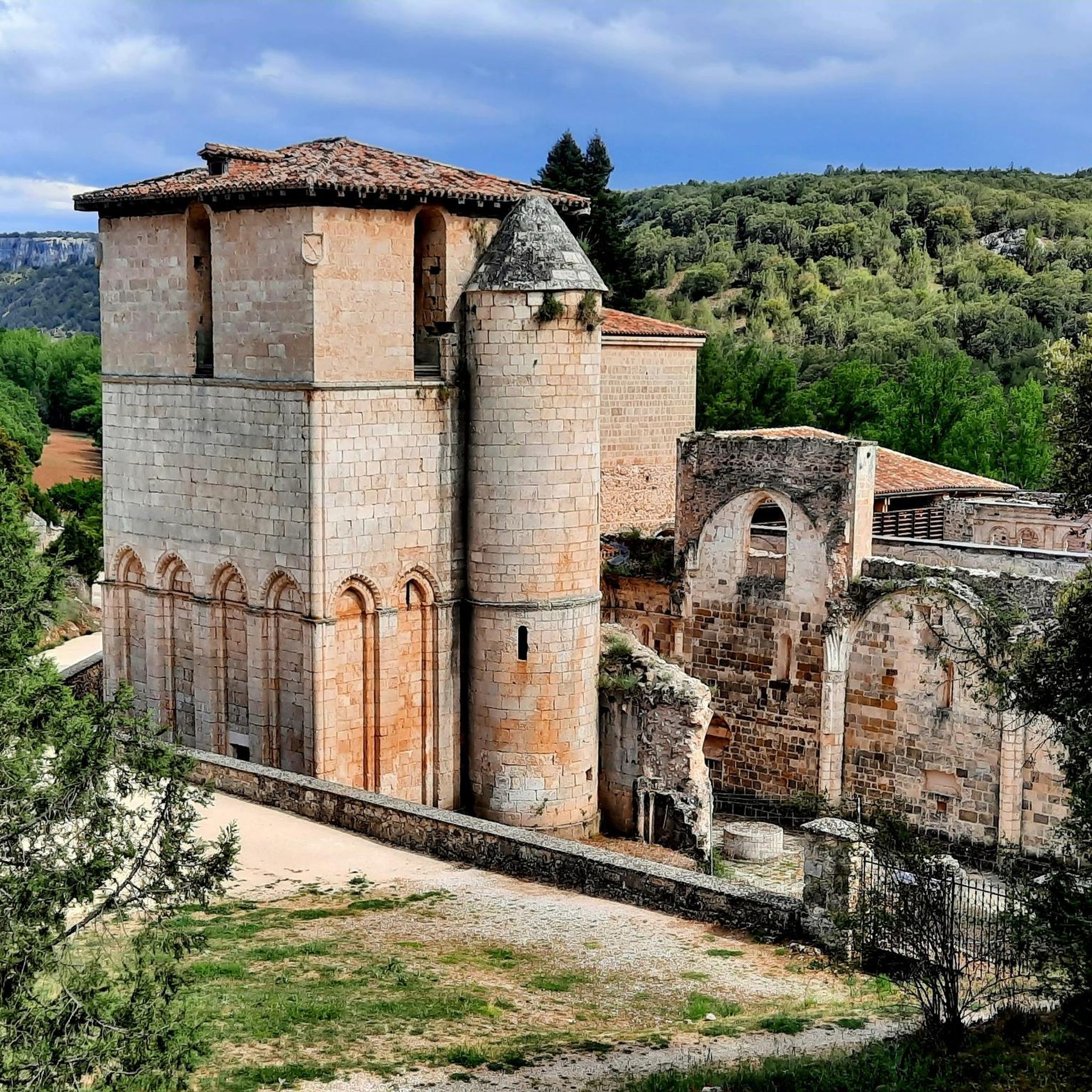
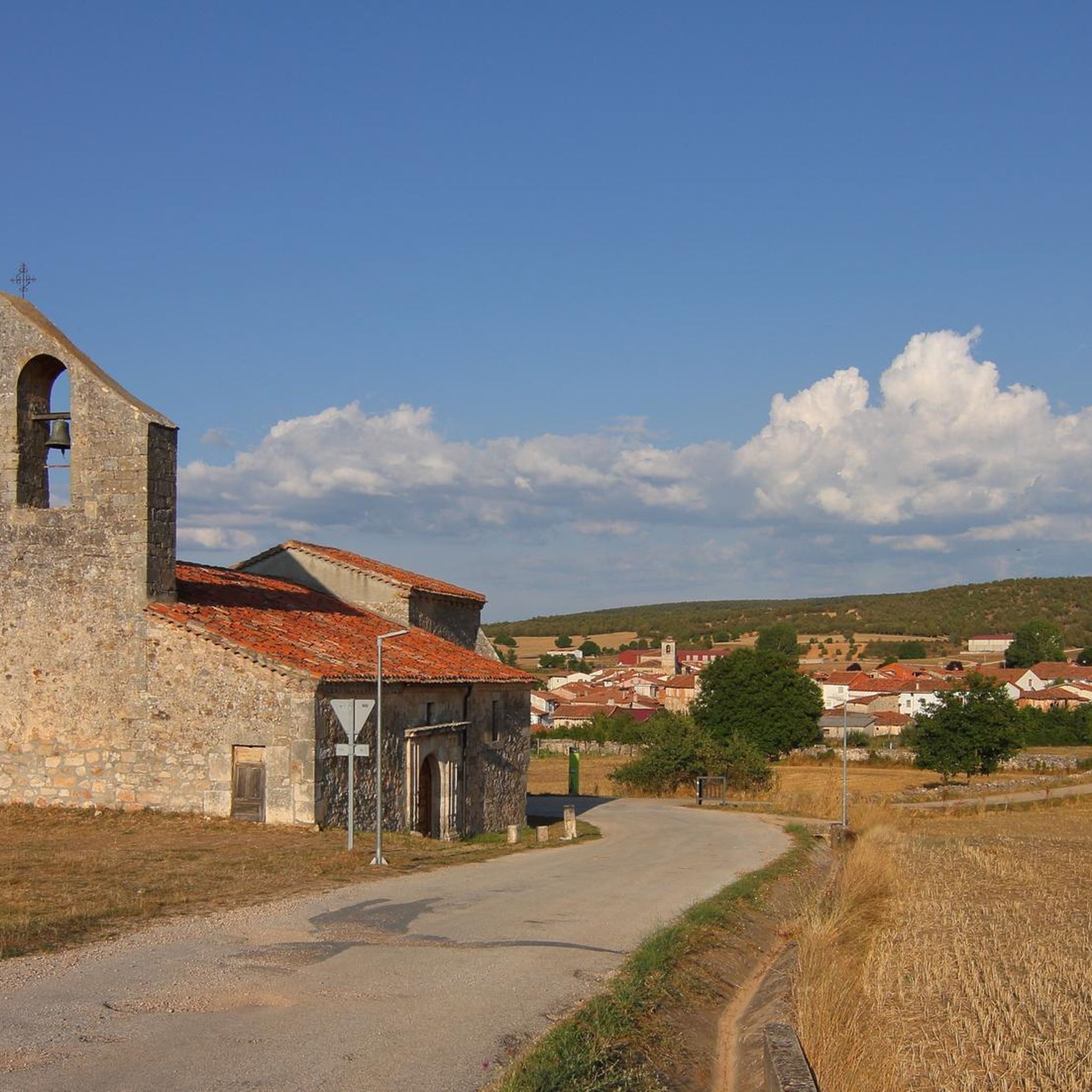
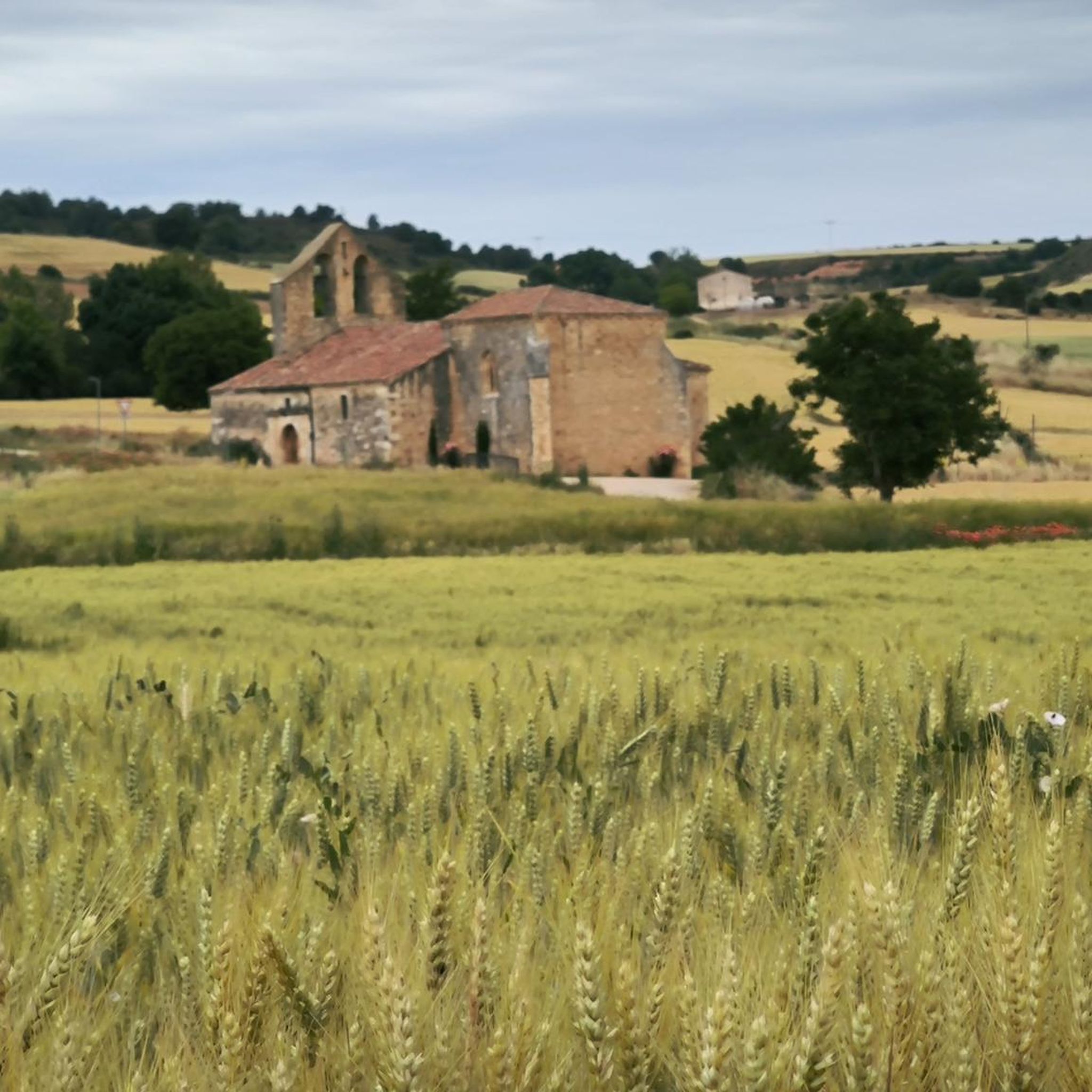
Hermitage located in a spectacular setting, at the foot of the Sierra de las Mamblas. Its origin was an old rural parish whose inhabitants, transferred to Covarrubias, wanted to preserve the temple, which is from the late 16th century.
0
0

Ideal places for mountain biking and hiking routes
0
0
Behind there is a large shelter, with a fireplace.
1
0

This beautiful town is a tourist destination where we find shops, accommodation and fountains.
0
0

beautiful town with half-timbered houses, monastery and city gate
0
0
Frequently Asked Questions
How many hiking trails are available around Retuerta?
There are over 35 hiking trails in the Retuerta area, offering a wide range of options for different skill levels and preferences. You can find routes from easy strolls to more challenging ascents.
Are there any easy hikes suitable for beginners or families in Retuerta?
Yes, Retuerta offers several easy routes perfect for beginners or families. An excellent option is the Mataviejas Gorge Trail, which is 3.5 miles (5.6 km) long and takes about 1 hour 28 minutes to complete, following the scenic Mataviejas Gorge.
Can I find circular hiking routes in Retuerta?
Absolutely. Many trails in Retuerta are circular, allowing you to start and end at the same point. For a moderate circular option, consider the Sierra de las Mamblas — circular desde Covarrubias, an 8.9-mile (14.3 km) path with significant elevation gain offering panoramic views.
What kind of natural features or landscapes can I expect to see while hiking in Retuerta?
Retuerta's landscape is characterized by rolling hills, expansive vineyards, and diverse natural features. You'll encounter unique Mediterranean environments within the Sabinares de Arlanza - La Yecla Natural Park. Hikers can also ascend to Alto de Peña Alta (1078 m) for expansive views of 'bluish peaks' on the horizon.
Are there any waterfalls to discover on hikes around Retuerta?
Yes, the region features natural attractions like the El Churrión Waterfall, which can be a refreshing sight during your outdoor adventures. Be sure to check specific route details for accessibility.
What are some notable landmarks or viewpoints along the trails in Retuerta?
Hikers can discover several interesting landmarks and viewpoints. The Mirador de las Penas del Tuero por Retuerta — circular desde Covarrubias leads to a significant viewpoint. Other points of interest include the View of Peña de Carazo and historical sites like Sad Hill Cemetery.
What is the best time of year to go hiking in Retuerta?
The region's rolling hills and vineyards make it picturesque throughout much of the year. Spring and autumn generally offer the most pleasant temperatures for hiking, with vibrant colors and comfortable conditions. Summer can be warm, while winter offers a different, often tranquil, experience.
Are there any challenging hikes for experienced trekkers in Retuerta?
For experienced hikers seeking a challenge, Retuerta offers routes with significant elevation changes. The Mirador de las Penas del Tuero por Retuerta — circular desde Covarrubias is a difficult 12.5-mile (20.0 km) trail that can take over 5 hours to complete, providing a rewarding experience.
What do other hikers say about the trails in Retuerta?
The trails in Retuerta are highly regarded by the komoot community, with an average rating of 4.3 stars from around 70 reviews. Hikers often praise the diverse terrain, from gentle paths through vineyards to more demanding ascents, and the beautiful natural scenery.
Are there any cultural attractions near the hiking areas in Retuerta?
Beyond the trails, the broader region offers cultural experiences. The historic Monastery of Santo Domingo de Silos, known for its Romanesque cloister and Gregorian chants, is a notable site. Additionally, you can explore the winemaking heritage at Bodegas Abadia Retuerta, which offers vineyard tours and tastings.
Are there any moderate difficulty hikes available?
Yes, the majority of hikes in Retuerta are of moderate difficulty, providing a good balance for many hikers. An example is the Mataviejas Gorge Loop Trail, a 6.4-mile (10.4 km) route with a moderate elevation gain, offering beautiful views without being overly strenuous.
Can I find trails that pass by historical sites or ancient monuments?
Yes, some routes may lead you near historical points of interest. For instance, the Dolmen of Cubillejo de Lara is an ancient monument in the vicinity, offering a glimpse into the region's past while enjoying the natural surroundings.
Most popular attractions around Retuerta

Get inspired with the komoot mobile app


Explore more
Browse the best Hikes in other regions.
