The best road cycling routes around Villar Del Ala
5.0
(4)
172
riders
7
rides
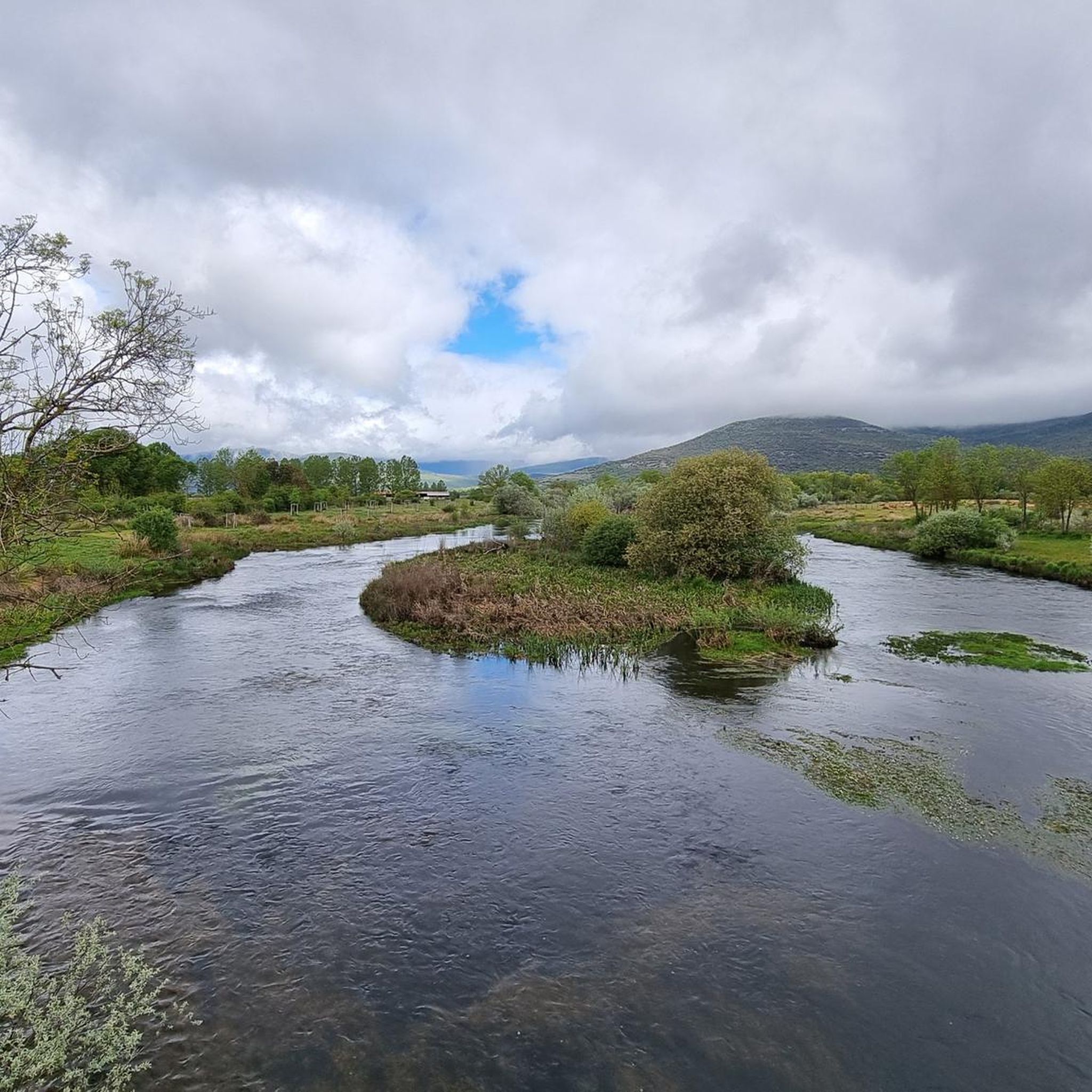
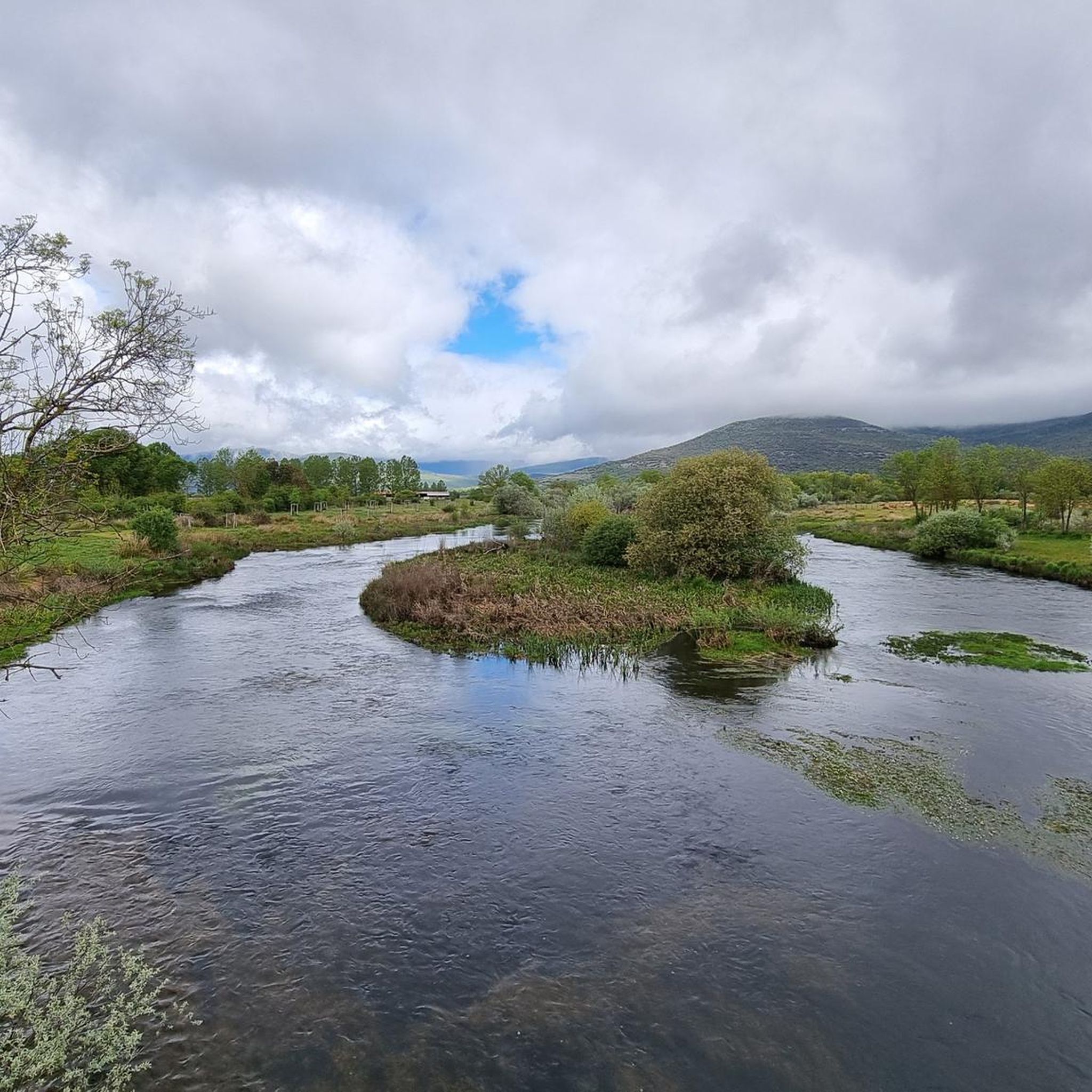
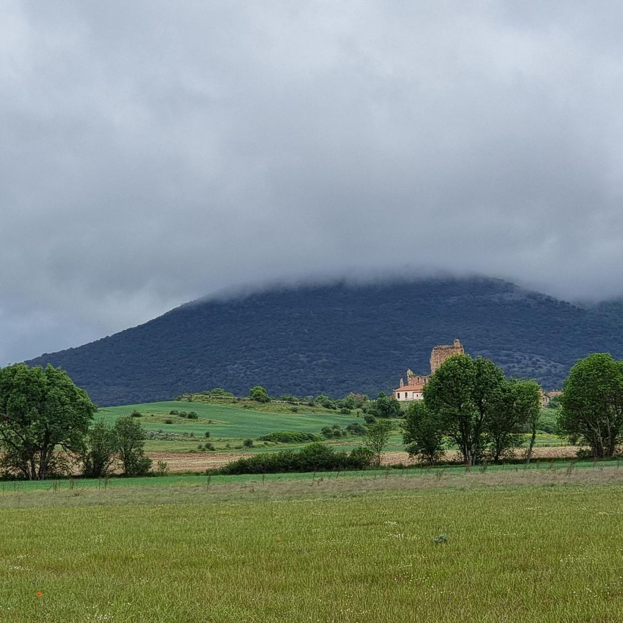
Road cycling routes around Villar Del Ala are situated in the north of Soria province, Spain, at an altitude of 1150 meters above sea level. The region is characterized by panoramic views over the valley and surrounding villages, traversed by the Río Razón, and features diverse forest resources including oak, juniper, and pine. This varied topography, with its elevated positions and broad plains, provides a suitable environment for road cycling.
Best road cycling routes around Villar Del Ala
- The most…
Last updated: October 29, 2026
57
riders
114km
05:42
1,820m
1,820m
5.0
(2)
57
riders
64.0km
02:52
590m
590m
Moderate road ride. Good fitness required. Mostly well-paved surfaces and easy to ride.

17
riders
63.8km
02:51
660m
660m
Moderate road ride. Good fitness required. Mostly well-paved surfaces and easy to ride.
5.0
(1)
20
riders
50.5km
02:15
490m
490m
Moderate road ride. Good fitness required. Mostly well-paved surfaces and easy to ride.
5.0
(1)
17
riders
29.3km
01:16
180m
180m
Easy road ride. Mostly well-paved surfaces and easy to ride.
Get access to more routes and recommendations from other explorers.
Already have an account?
Our route recommendations are based on thousands of hikes, rides, and runs completed by other people on komoot.
Start today with a free account
Your next adventure awaits.


Tips from the Community

Gothic church with a beautiful ribbed vault dedicated to the Virgin of the Pine
0
0

Beautiful views, the lagoon only has water in the rainy season
0
0

Located next to the Remoncillo River, its original function was to wash wool from sheep shearing at the time of the Mesta Council (Middle Ages). Free access. --------- Located next to the Remoncillo River, its original function was to wash wool from sheep shearing at the time of the Mesta Council (Middle Ages). Free access.
0
0

Villoslada de Cameros is a small town in La Rioja inhabited by only around 400 people. It is located in a magical setting, at the foot of the Sierra de Cebollera Natural Park.
0
0

From the Cuerda del Pozo reservoir dam there are two views, each one more impressive. On one side, the dammed water fills the bottom of the valley and forms a mirror for the mountains. In the other, the river again runs naturally through the bottom of the depression and slips through the foliage.
0
0

Small town located to the south of the Sierra Cebollera, to the east of the Cuerda del Pozo Reservoir. Beautiful town with its church as the center of the town.
0
0
It is at this point where the Cuerda del Pozo Reservoir joins the Río Duero. The road goes over the dam and where you can see both sides of the dam.
0
0
Vinuesa is a small town located at the foot of the Sierra de Urbión and ruled by its church that stands out above the rest of the hills.
0
0
Frequently Asked Questions
What is the general terrain and elevation like for road cycling around Villar del Ala?
Villar del Ala, situated at 1150 meters above sea level, offers a diverse road cycling experience. The region is known as the 'mirador del Valle' (viewpoint of the Valley), providing panoramic views. You'll encounter varied topography, from elevated hills to broad plains, with routes traversing the Río Razón. Expect significant elevation changes on some routes, particularly those that include mountain passes, but also gentler options through valleys.
Are there any easy road cycling routes suitable for beginners in the area?
Yes, there are several easier options. For a more relaxed ride, consider the Vinuesa – El Royo loop from El Royo, which is an easy 39.4 km (24.5 miles) route. Another easy choice is the El Royo – Vinuesa loop from El Royo, covering 29.8 km (18.5 miles) with less elevation gain.
What kind of natural features can I expect to see while road cycling near Villar del Ala?
The region boasts a rich natural environment. You'll cycle through diverse forest resources, including oak, juniper, ash, cork oak, and various pine forests. The area is part of the 'Valle de la Mantequilla' (Butter Valley), often called the 'Swiss Soria' due to its stunning scenery, featuring rebollares (Pyrenean oak forests) and holm oak and gall oak groves. Keep an eye out for aromatic plants like thyme, mallow, and chamomile along the way.
Are there any notable landmarks or historical sites along the road cycling routes?
Beyond the natural beauty, you can explore historical and cultural points of interest. The village of Villar del Ala itself features well-preserved stone houses and the Church of San Salvador. Nearby, you might encounter sites like the Cañada Honda Rock Art Site or the Peña del Duro Rock Inscriptions. The abandoned village of Azapiedra, with its mill ruins and the hermitage of San Martín, also offers a glimpse into the region's past.
What is the best time of year for road cycling in Villar del Ala?
Given its altitude of 1150 meters, the spring and autumn months generally offer the most pleasant conditions for road cycling, with milder temperatures and beautiful scenery. Summers can be warm, especially in the valleys, while winters can bring colder temperatures and potentially snow at higher elevations, making some routes challenging or inaccessible.
Are there any circular road cycling routes available?
Yes, many of the routes in the area are designed as loops, allowing you to start and end in the same location. For example, the challenging Piqueras and Santa Inés Pass Loop is a 113.9 km (70.8 miles) circular route. A moderate option is the El Royo – Santa Inés Pass loop from El Royo, which covers 61.5 km (38.2 miles).
What do other road cyclists enjoy most about cycling in Villar del Ala?
The area is highly rated by the komoot community, with an average score of 5.0 stars. Reviewers often praise the panoramic valley views, the serene experience on quiet minor roads, and the diverse landscapes that change with each turn. The combination of challenging mountain passes and gentler valley rides also caters to a wide range of abilities.
Are there any viewpoints or scenic spots along the road cycling routes?
Absolutely. Villar del Ala is known as the 'mirador del Valle,' offering impressive panoramic views over the valley and surrounding villages from the Sierra de la Carcaña. Many routes will take you through areas with breathtaking vistas, such as the Terrazas Heights, where you can pause and enjoy the expansive Soria landscape.
Can I find accommodation or places to eat near the cycling routes?
While Villar del Ala is a tranquil village, the surrounding Soria province offers various options for accommodation, cafes, and pubs in nearby towns and villages. It's advisable to plan your route and check for services in the larger towns like El Royo or Vinuesa, which are often part of the cycling loops, to ensure you have refreshment stops.
Are there any specific natural monuments or unique geological features to look out for?
Yes, the region is rich in natural beauty. You might encounter the Fuente del Oro, a natural monument, or the Confluence of the Duero and Pedrajas Rivers. The entire area is characterized by its 'Swiss Soria' landscape, with pine forests and diverse oak groves, offering a visually rewarding experience.
What is the difficulty level of road cycling routes around Villar del Ala?
The routes around Villar del Ala cater to various ability levels. There are easy routes, such as the 29.8 km El Royo – Vinuesa loop from El Royo, and several moderate options like the 51.0 km El Royo – Vinuesa loop from Valdeavellano de Tera. For experienced cyclists seeking a challenge, the 113.9 km Piqueras and Santa Inés Pass Loop is classified as difficult due to significant elevation gain through mountain passes.
Is it possible to find parking for my car when starting a road cycling route?
In rural areas like Villar del Ala and surrounding villages, parking is generally available, often in village squares or designated areas. For routes starting from specific towns, it's usually possible to find street parking or small public car parks. It's always a good idea to check the starting point of your chosen route for specific parking information.
Most popular attractions around Villar Del Ala

Get inspired with the komoot mobile app


Explore more
Browse the best Road cycling routes in other regions.
