Parque Nacional de Sierra Nevada
Parque Nacional de Sierra Nevada
The best mountain hikes around Parque Nacional de Sierra Nevada
4.0
(5)
61
hikers
9
hikes
Mountaineering routes around Parque Nacional de Sierra Nevada are characterized by high-altitude peaks, glaciated landscapes, and diverse ecosystems. This region, home to continental Spain's highest peaks like Mulhacén and Pico del Veleta, features rugged U-shaped valleys, stony scree slopes, and numerous glacial lakes. The terrain varies from lush meadows at lower elevations to hardy scrubland and rock at higher altitudes, offering a range of challenges for mountaineers.
Best mountaineering routes around Parque Nacional de Sierra Nevada
- The most popular mountaineering…
Last updated: July 24, 2026
5.0
(2)
19
hikers
13.6km
06:35
1,000m
990m
Hard mountaineering route. Very good fitness required. Sure-footedness, sturdy shoes and alpine experience required.
14
hikers
Hard mountaineering route. Very good fitness required. Sure-footedness, sturdy shoes and alpine experience required.

Sign up for free
6
hikers
18.2km
08:41
1,430m
1,420m
Hard mountaineering route. Very good fitness required. Sure-footedness, sturdy shoes and alpine experience required.
4
hikers
Moderate mountaineering route. Good fitness required. Easily-accessible paths. Suitable for all skill levels.
5.0
(1)
8
hikers
10.4km
04:07
580m
570m
Moderate mountaineering route. Good fitness required. Mostly accessible paths. Sure-footedness required.
Get access to more routes and recommendations from other explorers.
Sign up for free
Already have an account?
Our route recommendations are based on thousands of hikes, rides, and runs completed by other people on komoot.
Start today with a free account
Your next adventure awaits.
Login or Signup
Popular around Parque Nacional de Sierra Nevada

Bikepacking the mountains and deserts of Andalucía

On the road to the sun — bikepacking to southeast Spain
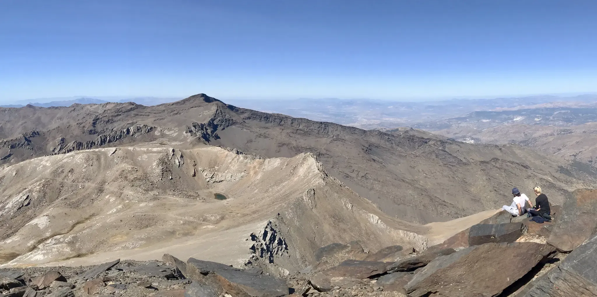
An unforgettable adventure – climb the Mulhacén’s north face in Spain
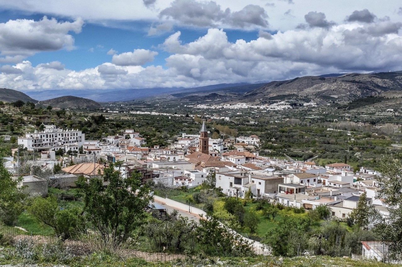
Gullies and summits – TransAlmería by MTB (Las Alpujarras)
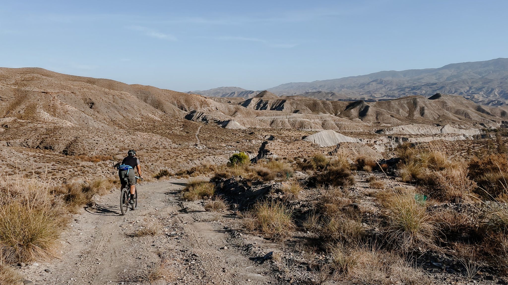
High mountains, desert and sea – an adventure of contrasts in Andalusia
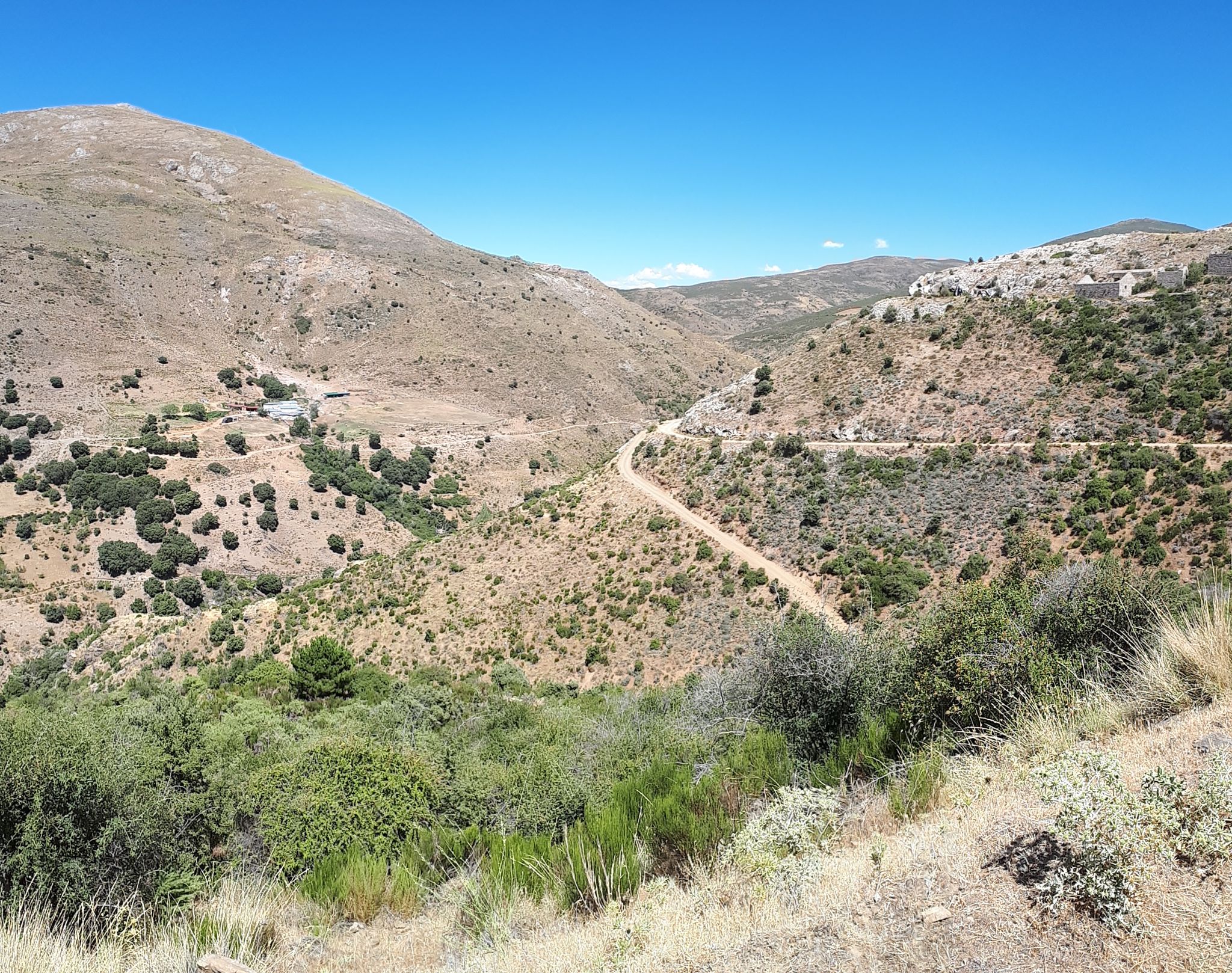
Nature and singletrack – bikepacking in Spain’s Sierra de Huétor

Let’s head south – cycle in Andalusia with me and my dog
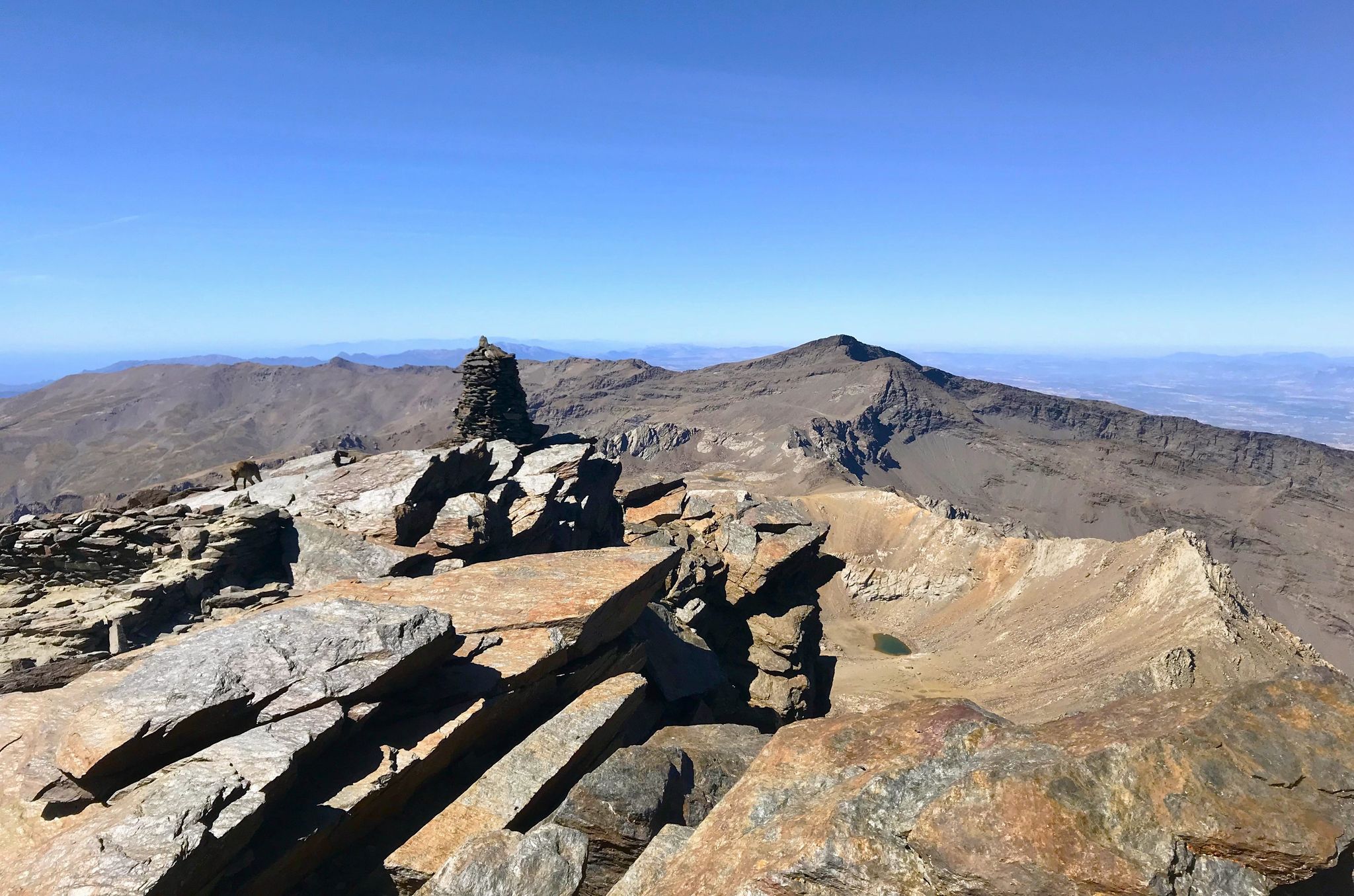
A night under the roof of the Iberian Peninsula – Mulhacén ascent
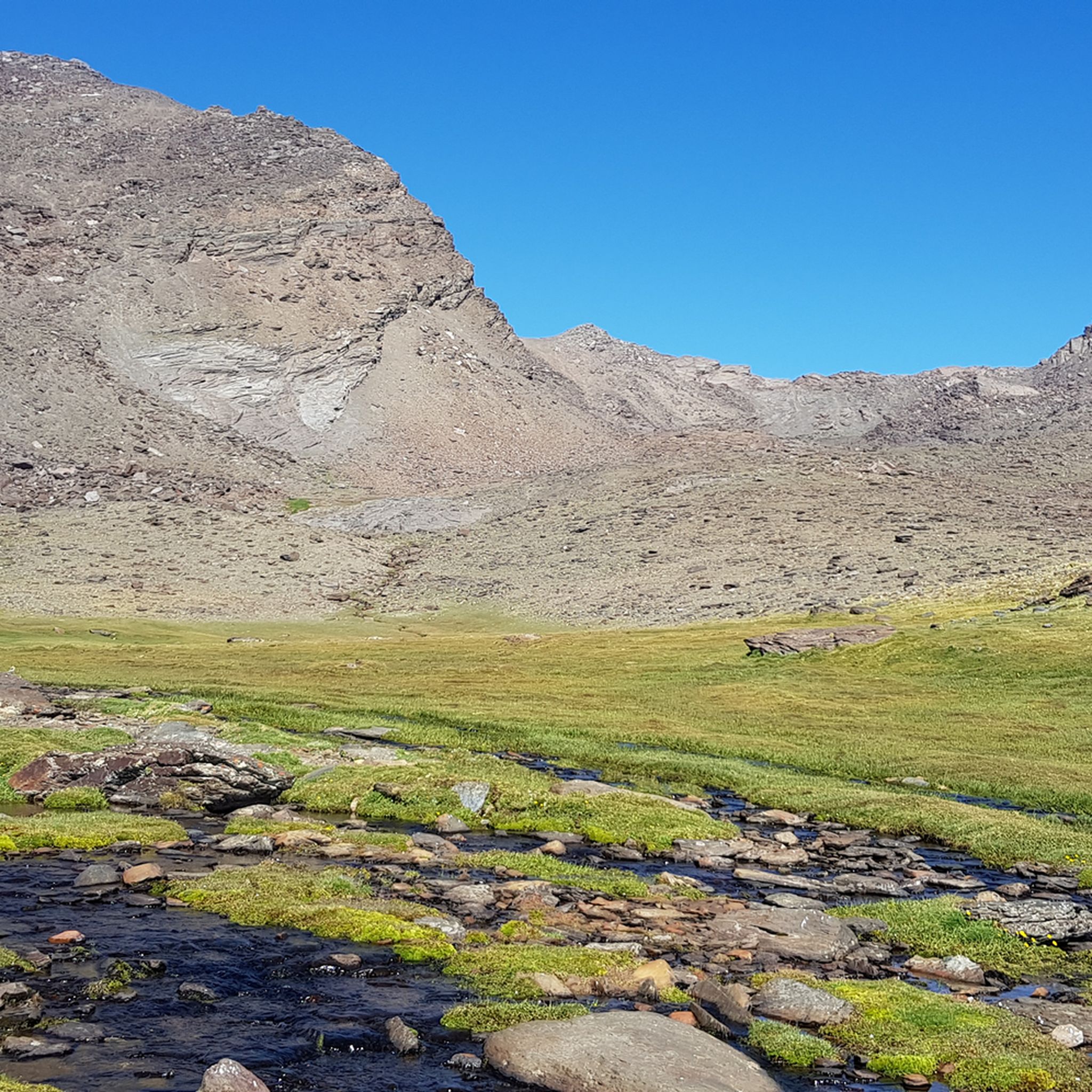
Hiking around Parque Nacional de Sierra Nevada
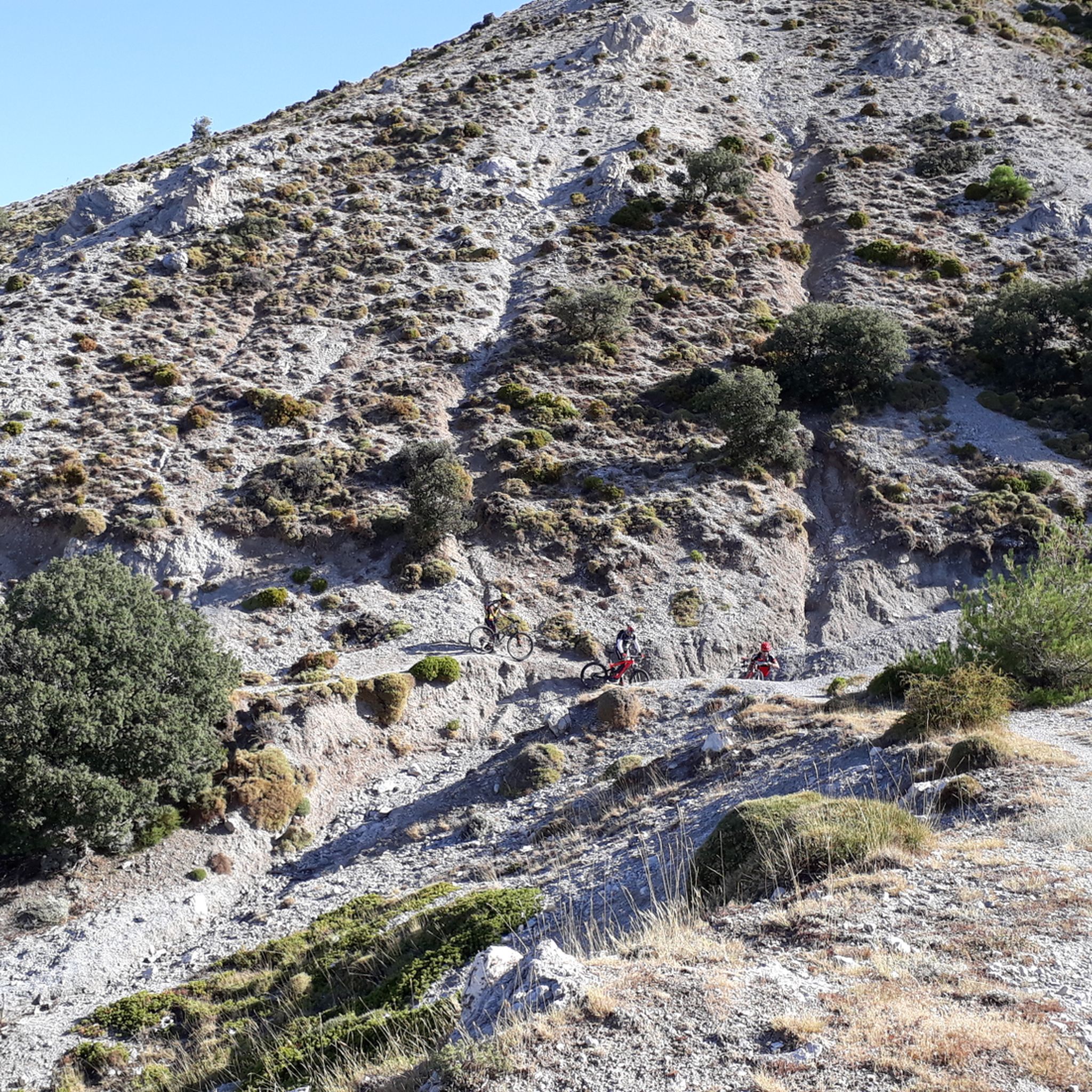
MTB Trails around Parque Nacional de Sierra Nevada
Other adventures around Parque Nacional de Sierra Nevada


Tips from the Community

Place to pass through to reach La Cortijuela at the foot of El Trevenque
0
0

El Poqueira is the king of this part of the Alpujarra and responsible for many of the landscapes in this area. Crossing this bridge is an unmistakable sign that you are already close to Capileira.
1
0

Always magnificent views on the hike to the two highest mountains in the Sierra Nevada - Veleta 3396 m and Mulhacen 3479 m.
0
0
In Trevélez, everything revolves almost exclusively around the air-dried Ibero ham produced here, which is known throughout Spain.
0
0

The Veleta Peak viewpoint, located in the Sierra Nevada mountains (Granada), is one of the most spectacular spots to enjoy panoramic high-mountain views on the Iberian Peninsula. From the summit of Veleta you can enjoy: Views of the Mediterranean Sea on clear days. Panoramic views of Mulhacén, the highest peak on the peninsula. High-mountain landscapes with rock formations, snow (in winter), and native flora.
2
0
What to see in Pampaneira Liberty Square The town's central hub, with bars, craft shops, and the tourist office. Church of the Holy Cross Built in the Mudéjar style in the 16th century on the site of a former mosque. Fountain of Saint Anthony ("La Chumpaneira") Famous for its legend: whoever drinks from it will find a partner. It's located next to the church. Traditional streets Such as Silence Street or Veronica Street, with Berber architecture, covered walkways, and terraced roofs. Chocolate Factory A delightful place to visit and buy handcrafted products.
6
0
Pampaneira, located in the heart of the Alpujarra region of Granada, is one of the most beautiful villages in Spain. Surrounded by the Poqueira Gorge and next to Bubión and Capileira, it offers a unique experience of traditional architecture, nature, crafts, and gastronomy.
6
0

Frequently Asked Questions
What kind of terrain can I expect on mountaineering routes in Parque Nacional de Sierra Nevada?
The mountaineering routes in Parque Nacional de Sierra Nevada feature high-altitude peaks, glaciated landscapes, and diverse ecosystems. You'll encounter rugged U-shaped valleys, stony scree slopes, and numerous glacial lakes. The terrain varies significantly with altitude, from lush meadows at lower elevations to hardy scrubland and rock at higher altitudes, offering a range of challenges.
Are there mountaineering routes suitable for different skill levels?
Yes, the park offers a variety of routes. While many are considered difficult, there are also 6 moderate routes available. In total, there are 19 mountaineering routes, with 13 classified as difficult, providing options for experienced mountaineers and those looking for a significant challenge.
What natural landmarks or points of interest can I see along these mountaineering routes?
Along your mountaineering adventures, you can encounter several notable natural features. The iconic Mulhacén Summit is a primary objective for many. You might also pass by the serene Hondera Lagoon or enjoy panoramic views from the Tajos del Ángel Viewpoint. The park is also home to nearly 50 high-mountain glacial lakes and a rich diversity of flora, including 65 endemic plant species.
Do I need a permit for mountaineering in Parque Nacional de Sierra Nevada?
While general access to the park for hiking is usually unrestricted, certain areas or activities, especially during specific seasons (like winter), might require permits or prior registration. It's always advisable to check with the Parque Nacional de Sierra Nevada authorities for the latest regulations regarding access to sensitive areas or for overnight stays in mountain huts.
When is the best time of year for mountaineering in Sierra Nevada?
The best time for mountaineering generally depends on your experience and the specific peaks you aim to tackle. Summer and early autumn (June to October) offer more stable weather and snow-free conditions on many high-altitude routes. However, the park is also known for its unique winter mountaineering experience, which typically runs from November to April, offering different challenges and requiring specialized gear.
Are there any circular mountaineering routes available?
Yes, several routes offer a circular experience, allowing you to start and end at the same point. For instance, the challenging Mulhacén Peak – Pico del Veleta loop from Jardín Botánico Universitario de Sierra Nevada is a popular option, covering 27.1 km and ascending to two of the park's highest summits. Another is the View of Pico del Veleta – Pico Veleta viewpoint loop from Jardín Botánico Universitario de Sierra Nevada, which is 17.2 km long.
What are the conditions like for winter mountaineering in Sierra Nevada?
Winter mountaineering in Sierra Nevada, typically from November to April, offers a unique and challenging experience. The park is home to Europe's southernmost ski resort on Pico del Veleta, indicating significant snow cover. Conditions can be demanding, with snow, ice, and strong winds common at higher elevations. Specialized equipment like crampons, ice axes, and appropriate winter clothing are essential, and experience in winter mountain travel is highly recommended.
What do other mountaineers enjoy the most about mountaineering in Parque Nacional de Sierra Nevada?
The area is highly rated by the komoot community, with an average score of 4.8 stars from over 10 reviews. Reviewers often praise the dramatic landscapes, the challenge of ascending continental Spain's highest peaks, and the diverse natural features, including glacial lakes and unique flora. The sense of achievement from tackling routes like the Mulhacén and Pico del Veleta loops is frequently highlighted.
Are there any less-trafficked or 'hidden gem' mountaineering routes in the park?
While routes to Mulhacén and Pico del Veleta are popular, the vastness of the Parque Nacional de Sierra Nevada offers many less-trafficked paths. Exploring areas beyond the main summits, such as itineraries along the Trevélez River or routes leading to the numerous high-mountain glacial lakes, can provide a more secluded experience. These often require good navigation skills and self-sufficiency.
Can I find accommodation or places to eat near the mountaineering trails?
Yes, the region offers various amenities. Villages surrounding the park, particularly those in the Alpujarra region like Capileira, Trevélez, and Bubión, provide accommodation, cafes, and restaurants. Mountain huts, such as the Refugio Poqueira, also offer basic lodging and sometimes food for mountaineers on multi-day treks. It's advisable to book in advance, especially during peak seasons.
What are some of the longer mountaineering routes in the park?
For those seeking longer expeditions, the Mulhacén Peak – Pico del Veleta loop from Jardín Botánico Universitario de Sierra Nevada stands out at 27.1 km, typically taking over 10 hours. Another substantial option is the Mulhacén Summit – Mulhacén Peak loop from Capileira, which is 23.9 km long and leads through varied high-alpine landscapes.
Are there any specific routes that offer views of both Mulhacén and Pico del Veleta?
Many high-altitude routes in the park offer stunning panoramic views that include both Mulhacén and Pico del Veleta, often extending as far as the Mediterranean and even Morocco on clear days. The Mulhacén Peak – Pico del Veleta loop from Jardín Botánico Universitario de Sierra Nevada is specifically designed to ascend both iconic summits, providing unparalleled vistas of the 'Sierra Nevada Trilogy'.
Most popular routes around Parque Nacional de Sierra Nevada
Most popular attractions around Parque Nacional de Sierra Nevada

Get inspired with the komoot mobile app


Explore more
Browse the best Mountain Hikes & Routes in other regions.
