The best walks and hikes around Talarn
4.2
(97)
563
hikers
53
hikes
Hiking trails around Talarn offer diverse landscapes in the Lleida province of Catalonia. The region is characterized by its proximity to the Noguera Pallaresa river, the Sant Antoni reservoir, and surrounding hills. The terrain includes riverine paths, agricultural areas, and routes leading through Mediterranean scrubland.
Best hiking trails around Talarn
- The most popular hiking route is From Tremp to Talarn — circular along the Ribera de la Noguera Pallaresa, a 6.0 miles (9.7 km) trail that takes 2 hours…
Last updated: June 24, 2026
4.8
(8)
25
hikers
9.74km
02:42
180m
180m
Moderate hike. Good fitness required. Easily-accessible paths. Suitable for all skill levels.
5.0
(2)
5
hikers
10.4km
03:25
500m
500m
Moderate hike. Good fitness required. Easily-accessible paths. Suitable for all skill levels.

Sign up for free
4.3
(3)
8
hikers
3.68km
01:05
110m
100m
Easy hike. Great for any fitness level. Easily-accessible paths. Suitable for all skill levels.
4.7
(3)
9
hikers
7.85km
02:08
120m
110m
Moderate hike. Good fitness required. Easily-accessible paths. Suitable for all skill levels.
7
hikers
5.73km
01:43
190m
190m
Easy hike. Great for any fitness level. Easily-accessible paths. Suitable for all skill levels.
Get access to more routes and recommendations from other explorers.
Sign up for free
Already have an account?
Our route recommendations are based on thousands of hikes, rides, and runs completed by other people on komoot.
Start today with a free account
Your next adventure awaits.
Login or Signup
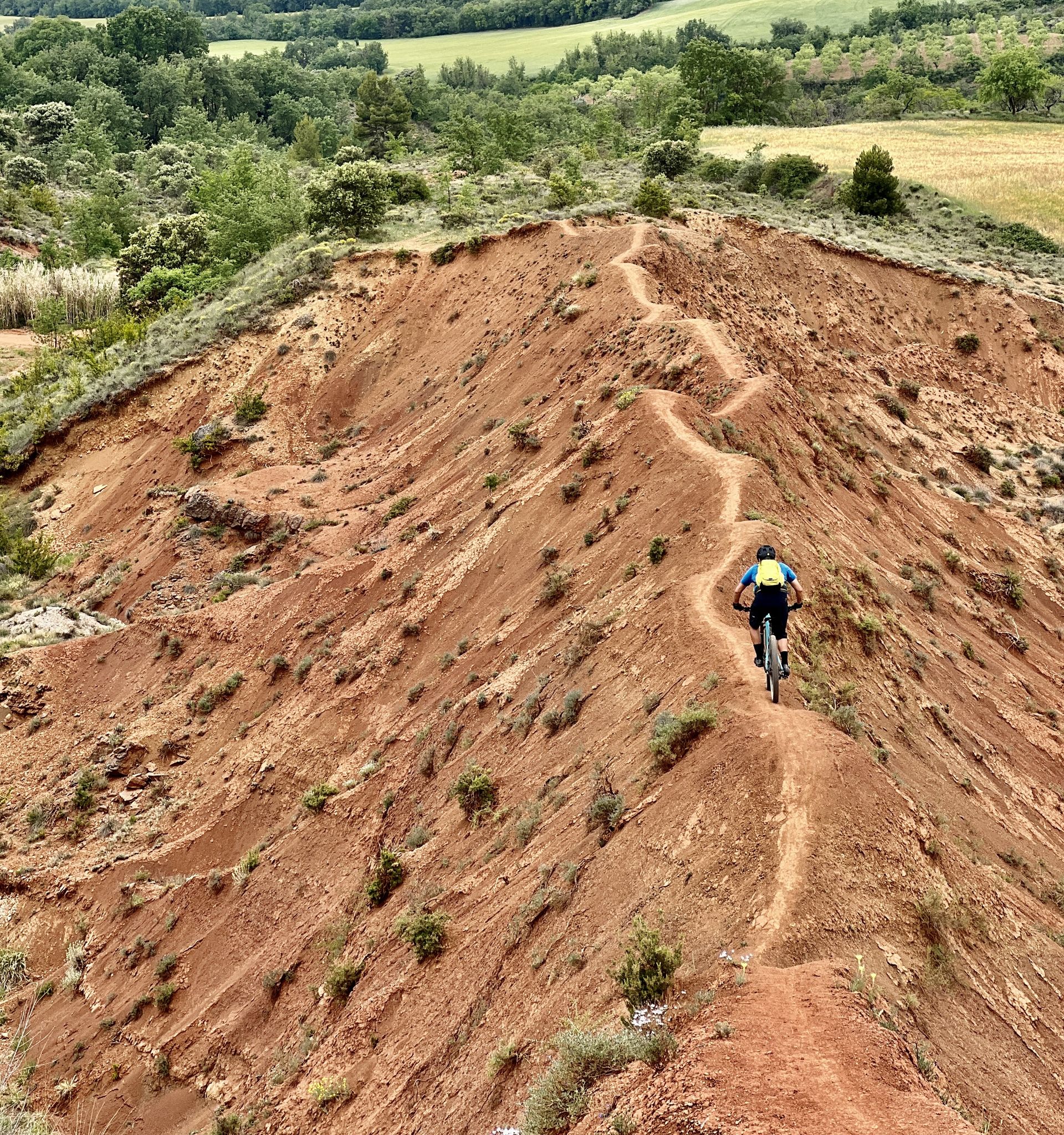
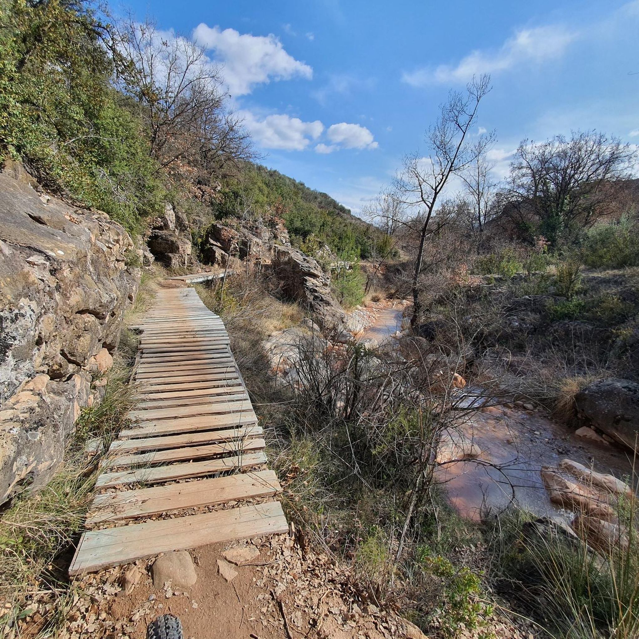

Other adventures around Talarn

Tips from the Community

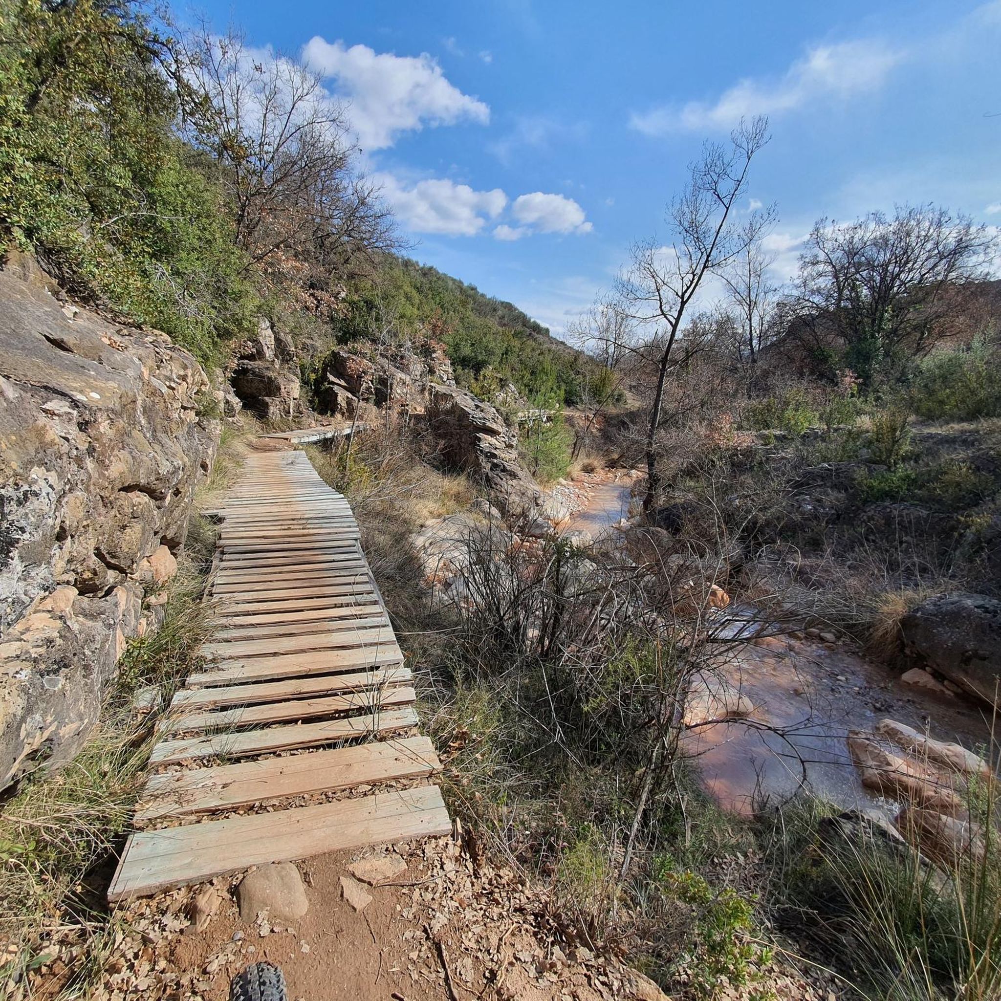
Directly under the bridge there is a trail called “Z.Z. 2.0”.
0
0

Here the name says it all: The easy-to-drive forest path spits you out directly at a former bunker.
3
0

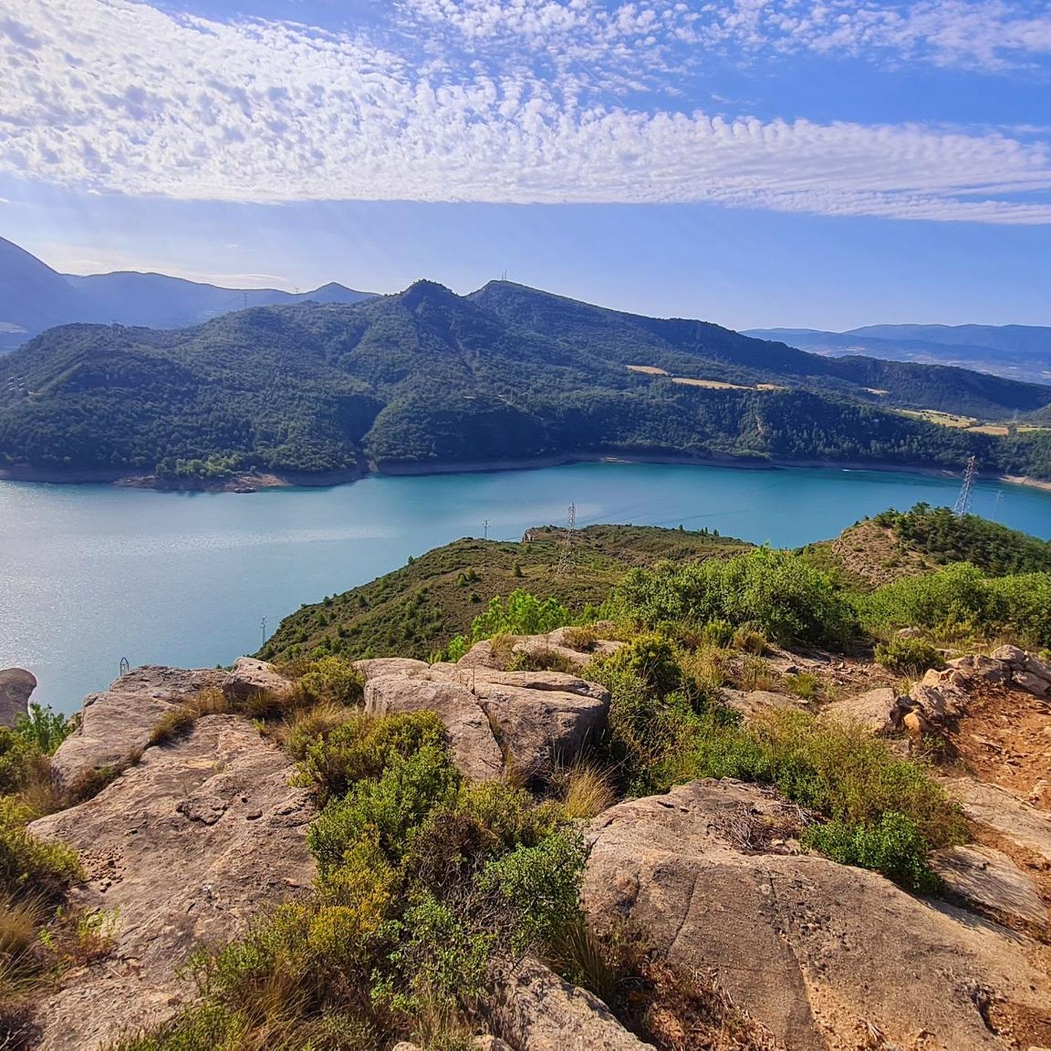
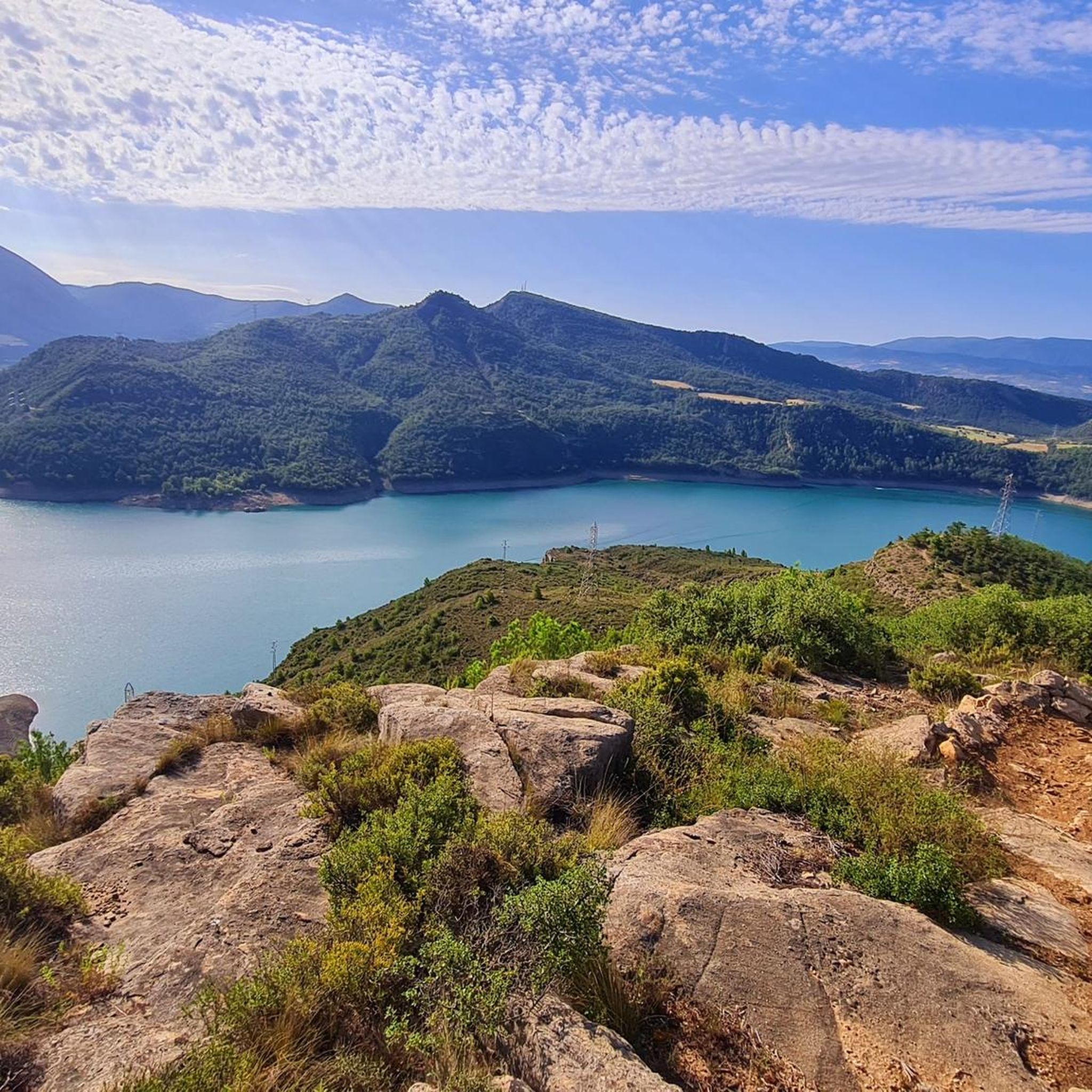
Climb the paths of the Sierra de Coll to reach the top and get an incredible view of Lake Sant Antoni.
1
0
View of the hydroelectric dam on Lake San Antoni. The natural space surrounding the lake is a great place for hiking adventures.
1
0

After the Sant Antoni reservoir, the Noguera Pallaresa River itself offers flat areas that create meanders in this area before reaching the center of Tremp.
0
0
This is one of the bridges over which the railway that comes from the south of the Pyrenees runs and which is built with lime from the area on five large arches, saving the ravine.
0
0
One of the other names that the Pantà de Sant Antoni has, at a local level, is the Embalse de Talarn, a town that crosses and is very close to the riverbed of the same reservoir.
0
0
Frequently Asked Questions
How many hiking trails are available around Talarn?
There are over 50 hiking trails around Talarn, catering to various skill levels. You'll find 15 easy routes, 26 moderate paths, and 12 more challenging trails to explore the region's diverse landscapes.
Are there any easy or family-friendly hiking routes in Talarn?
Yes, Talarn offers 15 easy routes suitable for families or those seeking a relaxed walk. A good option is the Geobike XL Route, an easy 3.7 km path that takes just over an hour to complete, offering a gentle introduction to the area's scenery.
What kind of natural attractions or landmarks can I see while hiking in Talarn?
The hiking trails around Talarn offer views of the Noguera Pallaresa river and the Sant Antoni reservoir. You can also discover specific landmarks like the natural spring Font de la O, or the historic Salàs de Pallars Historic Village. The Talarn Railway Bridge is another notable point of interest along some routes.
Are there any circular hiking routes in the Talarn area?
Yes, many routes in Talarn are circular, allowing you to start and end in the same location. For example, the Lo Búnker Trail – Sant Antoni Dam loop from Tremp is an easy 5.7 km circular hike that offers scenic views of the Sant Antoni Dam.
What is the best time of year to go hiking in Talarn?
Talarn's Mediterranean climate makes hiking enjoyable for much of the year. Spring and autumn generally offer the most pleasant temperatures for exploring. Summers can be hot, so early morning or late afternoon hikes are recommended, while winters are mild but some higher elevation paths might be cooler.
Are dogs allowed on the hiking trails around Talarn?
Generally, dogs are welcome on hiking trails in the Talarn region. However, it's always advisable to keep them on a leash, especially in agricultural areas or near livestock, and to check for any specific local regulations or protected areas that might have restrictions.
What do other hikers enjoy most about hiking in Talarn?
The hiking trails in Talarn are highly rated by the komoot community, with an average score of 4.3 stars from over 80 reviews. Hikers often praise the diverse landscapes, including river valleys, reservoir views, and rolling hills, as well as the well-maintained paths suitable for various abilities.
Are there any challenging hiking routes for experienced hikers in Talarn?
Yes, for experienced hikers seeking a challenge, Talarn offers 12 difficult routes. These trails typically feature significant elevation gains and varied terrain, providing panoramic views and a more strenuous workout. Be sure to check the route details for specific difficulty levels and prepare accordingly.
Where can I find parking for hiking trails in Talarn?
Parking is generally available in and around the town of Talarn, as well as at common starting points for popular trails. Many routes, such as those starting from Tremp or near the Sant Antoni Dam, have designated parking areas. It's recommended to check the specific tour details on komoot for parking information related to your chosen route.
Are there any opportunities for wild swimming near the hiking trails in Talarn?
The region is characterized by its proximity to the Noguera Pallaresa river and the Sant Antoni reservoir. While specific designated wild swimming spots aren't always marked, the reservoir and river offer potential opportunities for a refreshing dip, especially during warmer months. Always exercise caution and respect local regulations regarding swimming.
How long do hiking routes in Talarn typically take to complete?
Hiking durations in Talarn vary widely depending on the route's length and difficulty. Easy routes, like the Geobike XL Route, can take just over an hour. Moderate trails might range from 2 to 3 hours, while more challenging routes can extend to several hours or a full day. Always check the estimated duration for your chosen trail.
Can I access Talarn's hiking trails using public transport?
Talarn is accessible by public transport, primarily by bus services connecting it to larger towns like Tremp. From Tremp, some hiking trailheads may be within walking distance or require a short local connection. It's advisable to check current bus schedules and route starting points to plan your journey effectively.
Most popular attractions around Talarn

Get inspired with the komoot mobile app


Explore more
Browse the best Hikes in other regions.
