The best walks and hikes around Válor
4.6
(186)
967
hikers
58
hikes
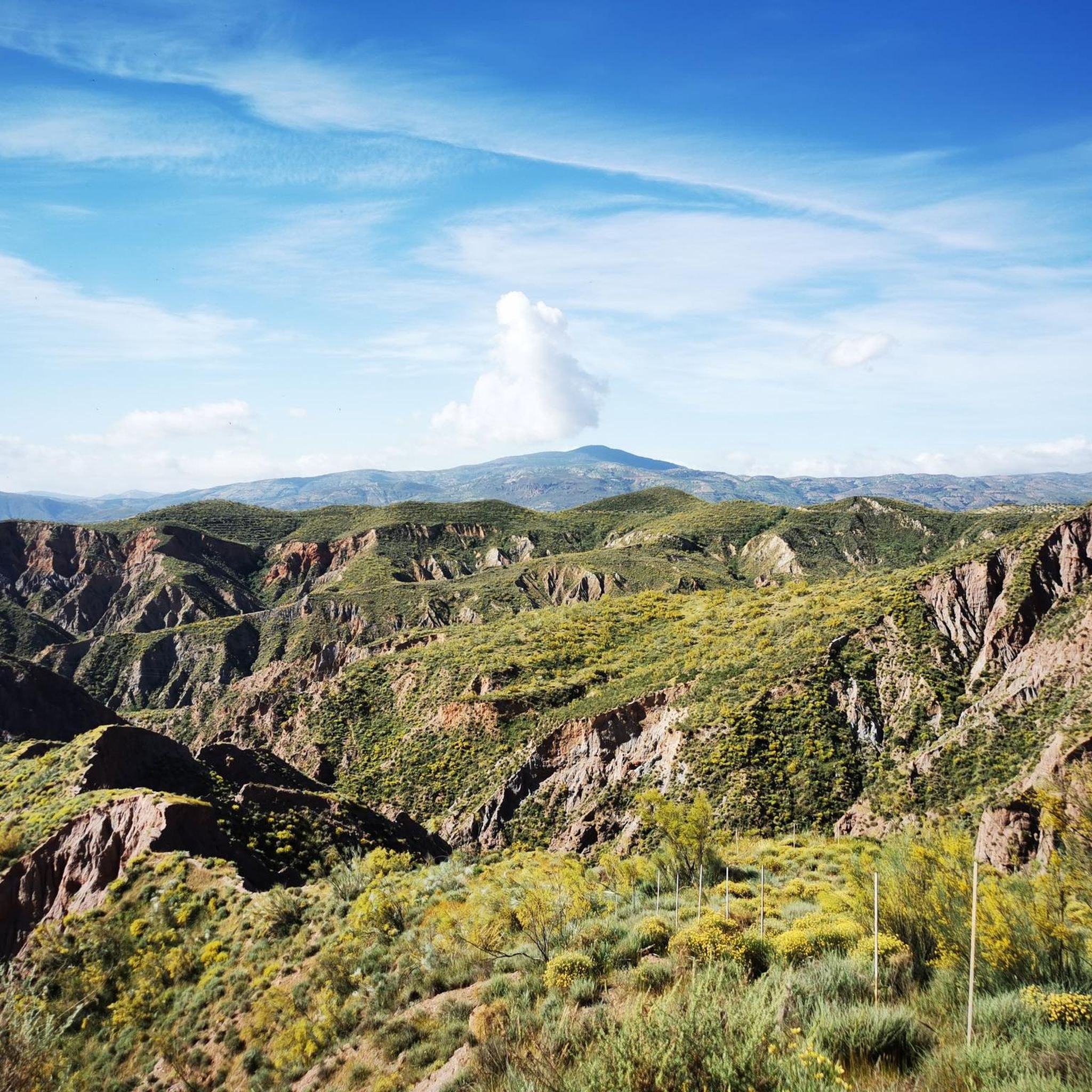
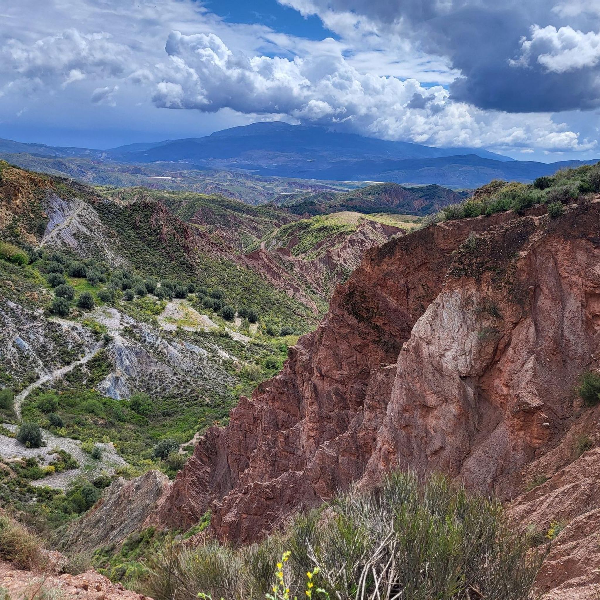
Hiking around Válor reveals a landscape characterized by the foothills of the Sierra Nevada, featuring deep valleys, terraced hillsides, and traditional white villages. The region offers a mix of agricultural land, olive groves, and chestnut forests, providing varied scenery for outdoor activities. Trails often follow ancient paths connecting hamlets and offering views of the surrounding mountains.
Best hiking trails around Válor
- The most popular hiking route is Sendero Los Castaños – circular from Válor, a 5.8 miles (9.4 km)…
Last updated: July 2, 2026
5.0
(1)
19
hikers
5.47km
01:53
300m
300m
Moderate hike. Good fitness required. Easily-accessible paths. Suitable for all skill levels.
4.8
(5)
11
hikers
5.20km
01:39
210m
200m
Easy hike. Great for any fitness level. Easily-accessible paths. Suitable for all skill levels.

Sign up for free
4.6
(8)
21
hikers
9.37km
03:10
490m
490m
Moderate hike. Good fitness required. Easily-accessible paths. Suitable for all skill levels.
3.0
(1)
7
hikers
9.06km
02:37
220m
220m
Moderate hike. Good fitness required. Easily-accessible paths. Suitable for all skill levels.
2
hikers
17.7km
05:39
760m
760m
Hard hike. Very good fitness required. Easily-accessible paths. Suitable for all skill levels.
Get access to more routes and recommendations from other explorers.
Sign up for free
Already have an account?
Our route recommendations are based on thousands of hikes, rides, and runs completed by other people on komoot.
Start today with a free account
Your next adventure awaits.
Login or Signup






Tips from the Community

During this route you will walk a lot in the sun.
1
0

Royal ditch that irrigates the balanced crops of Júbar and Mairena. This ditch is inherited from Al-Andalus and follows the operation of the irrigation and care ditch of Sierra Nevada, an extensive system of regulation of the hydrological cycle and that allows the existence of corridors of vegetation that increase the diversity of the Sierra.
4
0
This is the furthest point of the circular route of the Acequia Real de Mairena, from where the return is undertaken by a different path than the one that came. The Castaño de Laroles path also converges at this point, which does continue to climb a little further along the ditch.
4
0
Mairena is considered the "Balcón de La Alpujarra", because from the viewpoint of its hermitage you can enjoy privileged views over the set of the valley of Ugíjar, the Cerrajón de Murtas and the Almeria Sierra de Gador. It is also one of the whitest and best-kept villages in the surrounding area, in whose urban complex the silhouette of its church stands out.
4
0
In Nechite they attach great importance to their chestnut trees, common in the area for centuries. Some specimens are more than four hundred years old.
2
0
Small town with a simple church and good views of the valley.
2
0
Local path of Válor that rises high enough to allow us to contemplate the ravine that the Válor River has formed in the southern foothills of Sierra Nevada. After the scrubland vegetation, the path passes by numerous old chestnut trees that give the route its name.
3
0
Birthplace of Abén Humeya, promoter and first leader of the Moorish rebellion in 1568. He was born into a Moorish family converted to Christianity after the conquest of Granada in 1492. He left Christianity in favor of Islam and fought against the repression of the Muslim faith and customs and breach of the Capitulations of Granada and the laws of Carlos I and Felipe II. Said rebellion, which lasted three years and spread throughout the province, was violently controlled by the latter monarch.
3
0
Frequently Asked Questions
How many hiking trails are available around Válor?
There are over 50 hiking routes in the Válor area, offering a diverse range of experiences. These include 18 easy trails, 25 moderate routes, and 15 more challenging options, ensuring there's something for every skill level.
Are there easy hiking trails suitable for beginners in Válor?
Yes, Válor offers several easy hiking trails perfect for beginners. One excellent option is the Sendero del Agua – circular from Válor, an easy 3.2-mile (5.2 km) route that takes about 1 hour 39 minutes to complete, leading through local waterways and agricultural areas.
What kind of scenery can I expect on hikes around Válor?
Hiking around Válor offers a varied landscape characterized by the foothills of the Sierra Nevada. You'll encounter deep valleys, terraced hillsides, traditional white villages, agricultural land, olive groves, and beautiful chestnut forests. Many trails follow ancient paths connecting hamlets, providing scenic views of the surrounding mountains.
Are there any circular walks or loop trails in the Válor region?
Yes, circular walks are a popular feature of the Válor hiking network. A great example is the Sendero Los Castaños – circular from Válor, a moderate 5.8-mile (9.4 km) trail that guides you through local chestnut groves.
What do other hikers say about the trails in Válor?
The hiking trails in Válor are highly regarded by the komoot community, holding an impressive average rating of 4.7 stars from over 170 reviews. Hikers often praise the varied terrain, the stunning views of the Sierra Nevada foothills, and the charm of passing through traditional white villages and chestnut forests.
Are there any family-friendly hiking routes in Válor?
Many of the easier and moderate trails around Válor are suitable for families. The Health Trail, a moderate 3.4-mile (5.5 km) path, offers varied terrain and views that can be enjoyed by families looking for an engaging walk without extreme difficulty.
What are some interesting landmarks or attractions to see near the hiking trails?
The Válor area is rich in natural and cultural highlights. Along your hikes, you might encounter significant points like the La Ragua Pass, offering stunning mountain views, or the charming settlement of Yegen. The La Ragua Mountain Hut is also a notable spot in the vicinity.
Is there parking available near the trailheads in Válor?
While specific parking details vary by trailhead, Válor and its surrounding villages generally offer public parking areas. It's advisable to check local signage or use komoot's route planner to identify convenient parking spots close to your chosen starting point.
What is the best time of year to go hiking in Válor?
The best time for hiking in Válor is typically during spring (April-May) and autumn (September-October) when temperatures are mild and the landscape is vibrant. Summer can be very hot, especially at lower altitudes, while winter offers cooler temperatures and the possibility of snow at higher elevations in the Sierra Nevada foothills.
Are there any longer or more challenging hikes for experienced hikers?
Yes, for experienced hikers seeking a challenge, Válor offers more demanding routes. The Mecina Bombarón, Yegen, and Golco Circular is a difficult 11-mile (17.7 km) trail that takes approximately 5 hours 38 minutes to complete, providing a substantial adventure through varied terrain.
Can I find trails that pass through traditional villages?
Absolutely. Many trails in the Válor region are designed to connect the traditional white villages that dot the landscape. These routes often follow ancient paths, allowing you to experience the local culture and architecture firsthand while enjoying the natural beauty of the area.
Are there any trails that feature water elements like streams or acequias?
Yes, the region's agricultural heritage means many trails incorporate water elements. The Acequia Real de Mairena – circular from Mairena (PR-A 421) is a prime example, following an ancient irrigation channel and offering insights into the local water management systems.
Most popular attractions around Válor

Get inspired with the komoot mobile app


Explore more
Browse the best Hikes in other regions.
