The best walks and hikes around Brücktal
4.6
(6228)
22,802
hikers
752
hikes
Hiking around Brücktal offers diverse trails within the Vulkaneifel region of Germany, known for its distinctive geological landscape. The area features volcanic origins, shaping a terrain with wide vineyards, deep forests, and crater lakes. Hikers can explore a serene environment situated at the confluence of three brooks, providing varied natural settings. This region provides a unique backdrop for outdoor activities, with trails leading past natural monuments and scenic viewpoints.
Best hiking trails around Brücktal
- The most popular hiking route is…
Last updated: June 28, 2026
4.7
(525)
1,691
hikers
9.23km
02:31
140m
140m
Moderate hike. Good fitness required. Easily-accessible paths. Suitable for all skill levels.
4.6
(72)
292
hikers
9.62km
02:44
220m
220m
Moderate hike. Good fitness required. Easily-accessible paths. Suitable for all skill levels.

Sign up for free
5.0
(3)
36
hikers
8.09km
02:09
80m
80m
Moderate hike. Good fitness required. Easily-accessible paths. Suitable for all skill levels.
5.0
(6)
55
hikers
8.91km
02:24
110m
110m
Moderate hike. Good fitness required. Easily-accessible paths. Suitable for all skill levels.
4.8
(28)
96
hikers
Hard hike. Very good fitness required. Easily-accessible paths. Suitable for all skill levels.
Get access to more routes and recommendations from other explorers.
Sign up for free
Already have an account?
Our route recommendations are based on thousands of hikes, rides, and runs completed by other people on komoot.
Start today with a free account
Your next adventure awaits.
Login or Signup
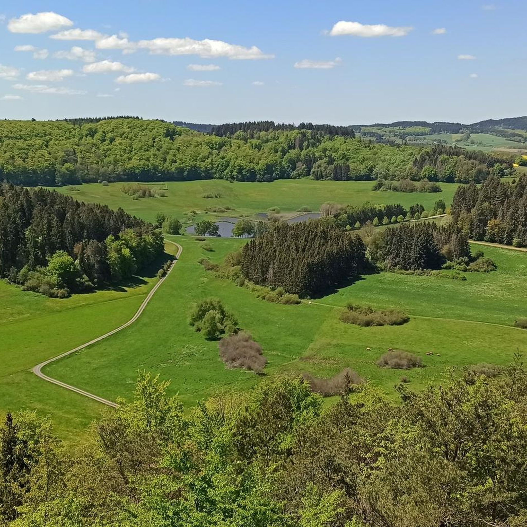
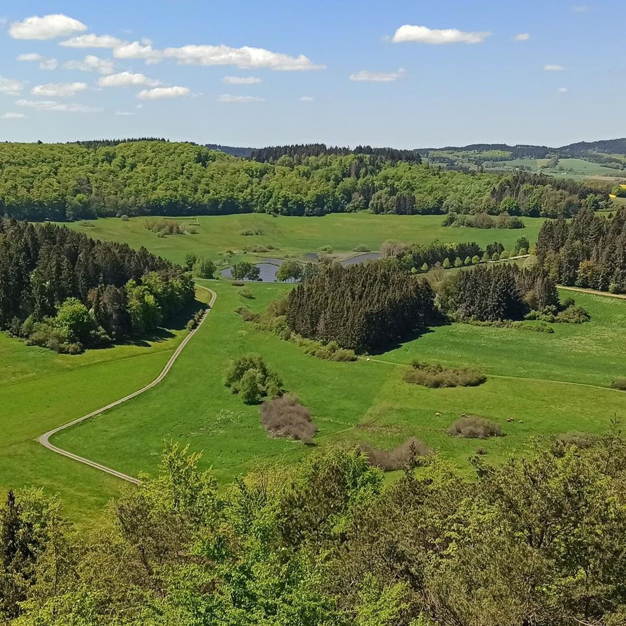
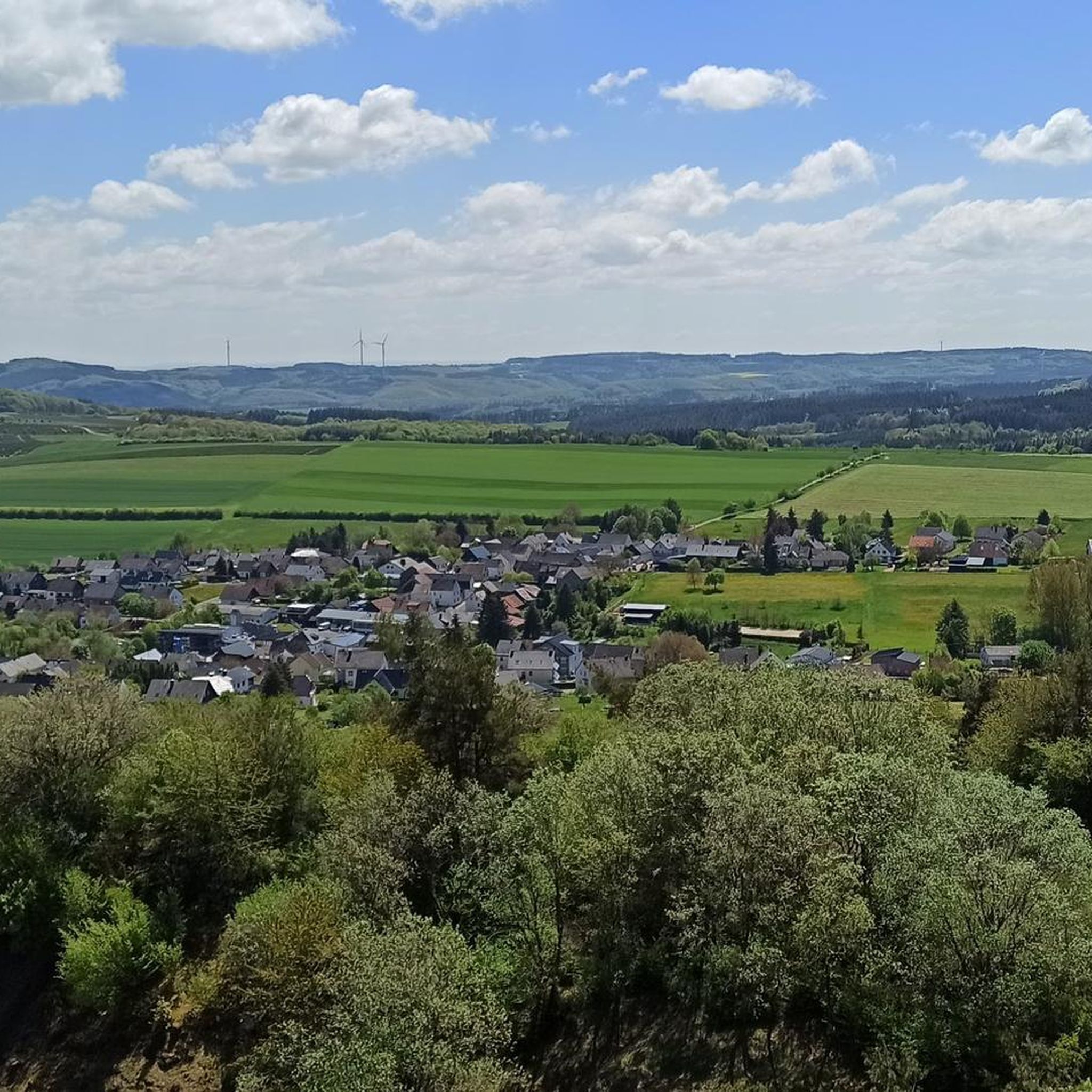
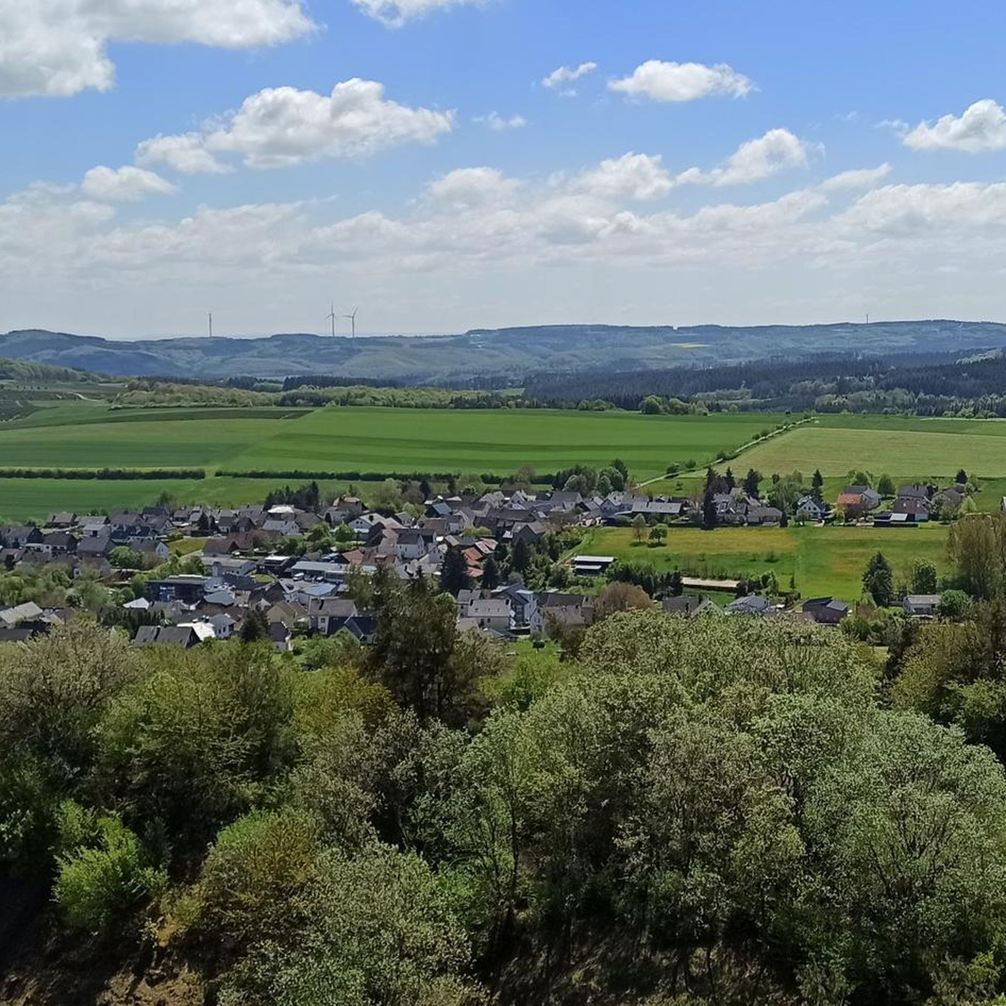
Tips from the Community

The former steep section between Klostertal and Karussell is reminiscent of the old days of the Nürburgring, when the track was wilder and more unforgiving – a piece of motorsport myth! 🏎️🔥 Today, this part of the track is no longer passable in its original form, as the Nordschleife has been rebuilt and modernized several times over the years – primarily for safety reasons. 🔧🛑
0
0
The Wippermann section is not only technically exciting but also a popular spot for spectators and tourist rides who want to experience the "Green Hell" up close. 🌳👀
0
0

Great area for e-bike riding was fun
0
0

Two Silver Arrows The legendary one and mine 😁
0
0

Especially pleasant when it's very hot🥵
0
0

The Klostertal curve is the branch off to the steep section.
0
0
The steep section, with gradients of up to 27%, was originally built for vehicle testing. Today, it is no longer used.
0
0

The Boos Double Maar consists of two silted-up maars, which today appear as shallow depressions in the terrain. They are located within the municipality of Boos. The two maars formed between 10,150 and 14,160 years ago and belong to the Quaternary volcanic field of the Volcanic Eifel. The two maars form large, circular basins surrounded by tuff embankments. They lie on a west-southwest-east-northeast trend, thus following the Variscan strike of the subsurface. The west-southwest maar has a diameter of approximately 700 m and a depth of between 30 and 60 m; the east-northeast maar is between 650 and 700 m and a depth of between 50 and 87 m. Both depressions are very humid, so there are still areas that have a permanent water surface. The waters were formerly used as fish ponds, but later silted up and served as meadows and fields. Today, there is once again a fish pond in the west-southwestern part of the maar, the Booser Weiher. In the vicinity of the maars, there are tuff pits where the volcanic tuff formed during the eruption of the maars was mined. Very beautiful nature.
0
0
Frequently Asked Questions
What types of hiking trails can I find around Brücktal?
Brücktal, located in the Vulkaneifel region, offers a diverse network of trails shaped by its volcanic origins. You'll find everything from easy strolls through serene landscapes to more challenging routes. The area is characterized by deep forests, wide vineyards, and unique geological features like crater lakes (Maare). Overall, there are over 700 hiking routes available, with approximately 390 easy, 320 moderate, and 20 difficult options.
Are there any family-friendly hiking routes in Brücktal?
Yes, Brücktal offers many trails suitable for families. The region's varied landscape includes numerous easy and moderate paths that are enjoyable for all ages. These routes often lead through picturesque forests and past interesting natural features, providing a great outdoor experience for families. Many trails are well-maintained and offer opportunities for shorter walks.
Can I bring my dog on the hiking trails in Brücktal?
Most hiking trails around Brücktal are dog-friendly, allowing you to explore the beautiful Vulkaneifel region with your canine companion. It's generally recommended to keep dogs on a leash, especially in nature reserves, near wildlife, or when passing through agricultural areas. Always ensure you carry water for your dog and clean up after them to preserve the natural environment for everyone.
What natural landmarks or viewpoints can I discover while hiking?
The Vulkaneifel region around Brücktal is rich in natural and man-made landmarks. You can explore unique geological formations like the Boos Lava Bomb, a natural monument showcasing the area's volcanic past. For panoramic views, consider visiting the View of Nürburg Castle or the Kaiser Wilhelm Tower on the Hohe Acht, which offers extensive vistas over the Eifel region. Many trails also lead past crater lakes (Maare) and scenic viewpoints.
Are there any circular hiking routes available?
Yes, many of the hiking trails around Brücktal are circular, offering convenient starting and ending points. For example, the View of Nürburg Castle – Nürburgring loop from Nürburg is a moderate 5.2-mile (8.3 km) circular path that provides scenic views of Nürburg Castle and the surrounding Eifel landscape. Another option is the Nürburgring – Grandstand T4 at Nürburgring loop from Nürburgring, a 4.8-mile (7.7 km) loop through the Nürburgring area.
Where can I find parking near the trailheads in Brücktal?
Parking is generally available near popular trailheads and villages throughout the Brücktal area. Many routes, especially those starting from towns like Nürburg or Boos, have designated parking areas. It's advisable to check specific route descriptions on komoot for detailed parking information for your chosen hike.
What is the best time of year to go hiking in Brücktal?
The Vulkaneifel region around Brücktal offers enjoyable hiking experiences throughout much of the year. Spring brings blooming wildflowers and fresh greenery, while autumn showcases vibrant fall foliage. Summer is ideal for longer days and warmer weather, though some trails might be more crowded. Even in winter, with appropriate gear, you can experience the serene, snow-dusted landscapes. The diverse terrain ensures there's always something to explore, regardless of the season.
Are there any challenging hikes for experienced hikers?
Yes, for experienced hikers seeking a challenge, Brücktal offers several difficult routes. One such demanding trail is the Klostertalkurve, Nürburgring – Nürburgring Steep Section loop from Nürburg. This difficult 13.8-mile (22.3 km) route involves significant elevation changes, making it suitable for those with good fitness and sure-footedness. In total, there are about 20 difficult routes in the area.
What do other hikers say about the trails in Brücktal?
The hiking trails around Brücktal are highly regarded by the komoot community, holding an impressive average rating of 4.6 stars from over 5,900 reviews. Hikers often praise the region's unique volcanic landscapes, the well-maintained paths, and the variety of routes that cater to different fitness levels. Many appreciate the scenic viewpoints and the peaceful atmosphere of the Eifel forests.
Are there places to stop for refreshments or shelter along the trails?
Yes, the Brücktal area offers several options for refreshments and shelter. You can find various huts and barbecue shelters, such as the Panorama Shelter Hohenleimbach or the Boos Barbecue and Shelter Hut. These spots provide ideal places for a break, a picnic, or to take cover from the weather. Some villages along the routes may also offer cafes or pubs.
Can I reach the hiking trailheads using public transport?
While Brücktal is a rural area, some trailheads may be accessible via local bus services, particularly those starting from larger villages or towns in the Vulkaneifel region. However, public transport options might be limited, especially on weekends or in more remote areas. It's recommended to check local bus schedules in advance or consider driving to the starting points for greater flexibility.
Are there any historical sites or castles to see on a hike?
Absolutely. The region is home to several historical sites, including impressive castles. You can hike to the Nürburg Castle, a prominent landmark offering historical insights and great views. Another notable site is the Virneburg Castle Ruins, which adds a touch of history to your outdoor adventure. The View of Nürburg Castle – View of Nürburg Castle loop from Welcherath is a moderate 6.5-mile (10.5 km) route that includes views of the castle.
Most popular attractions around Brücktal

Get inspired with the komoot mobile app


Explore more
Browse the best Hikes in other regions.
