The best mountain hikes around Réserve naturelle de Carlaveyron
4.8
(110)
1,456
hikers
55
hikes
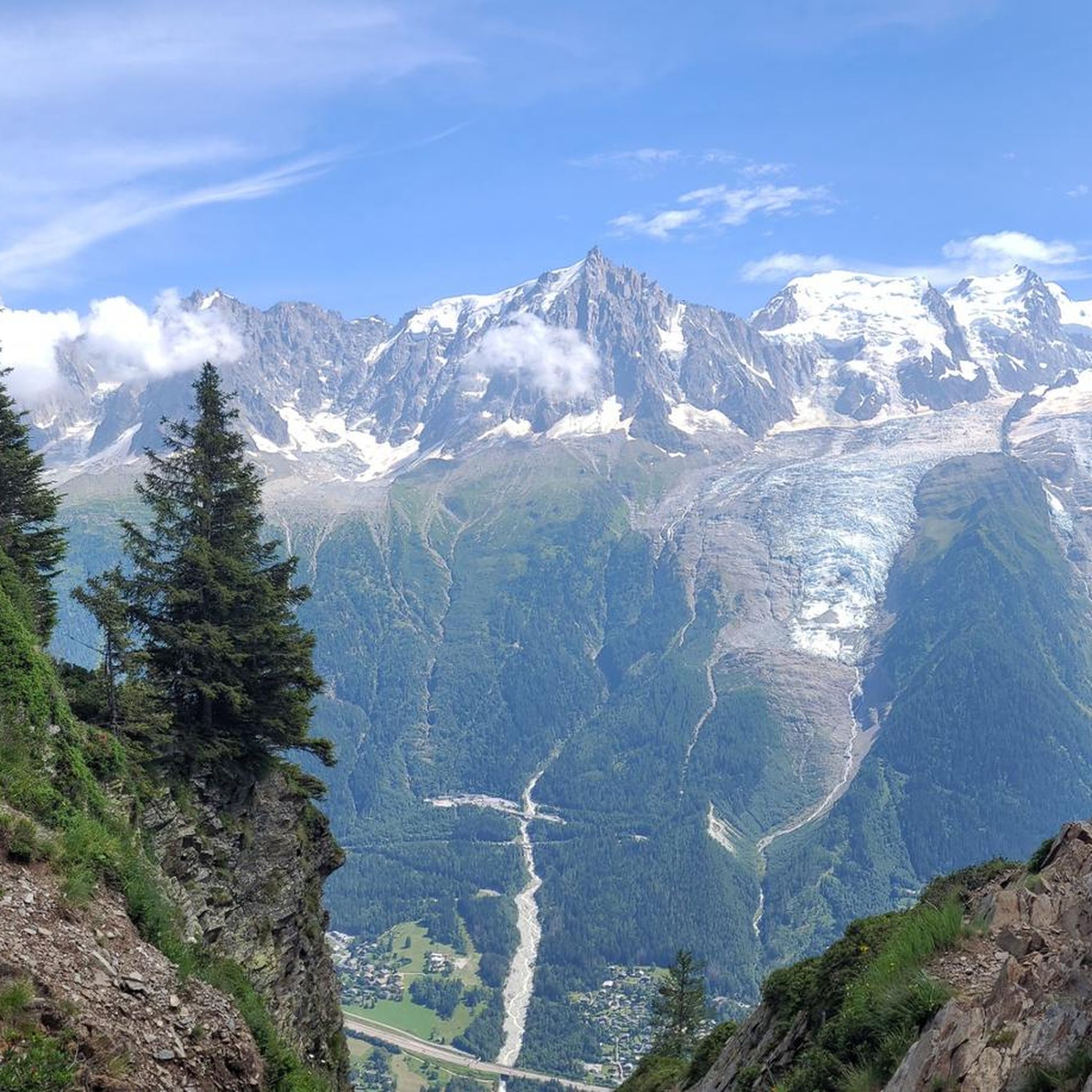
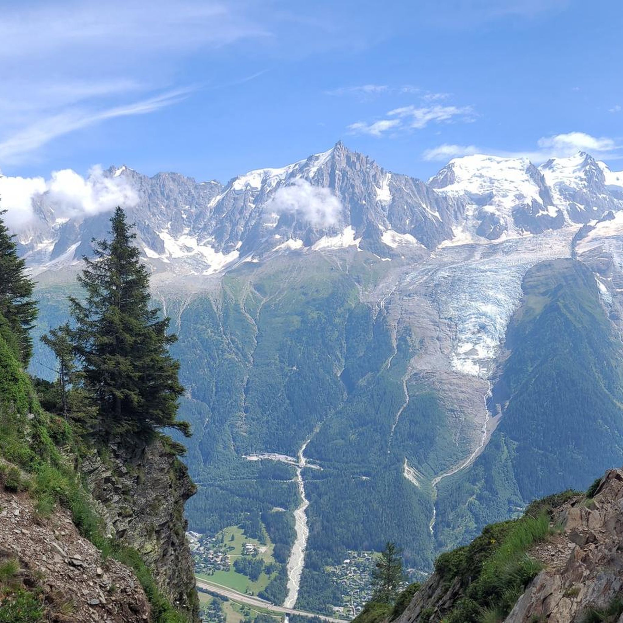
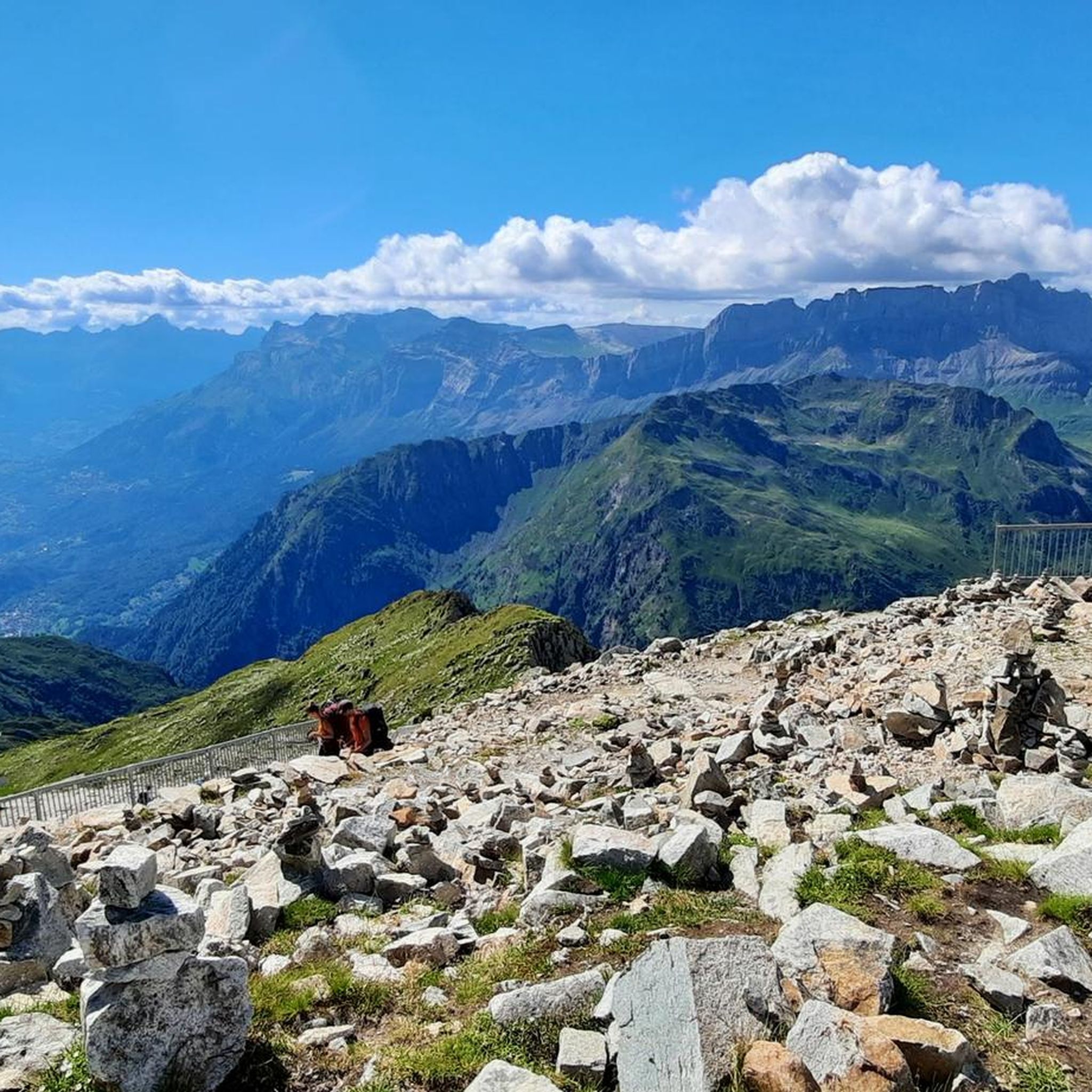
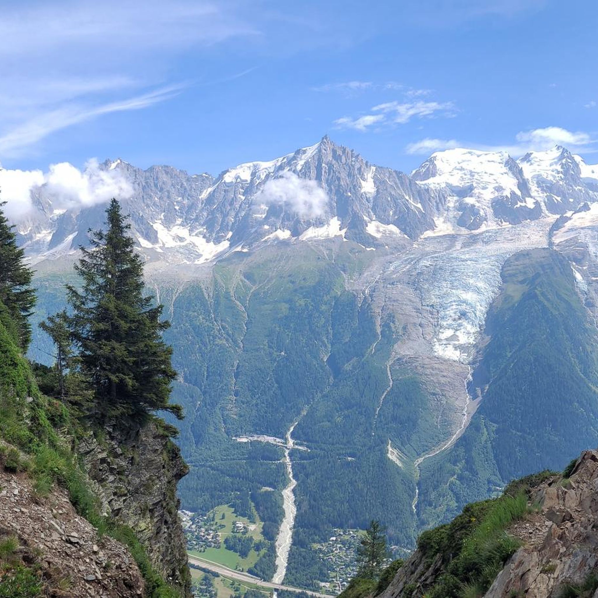
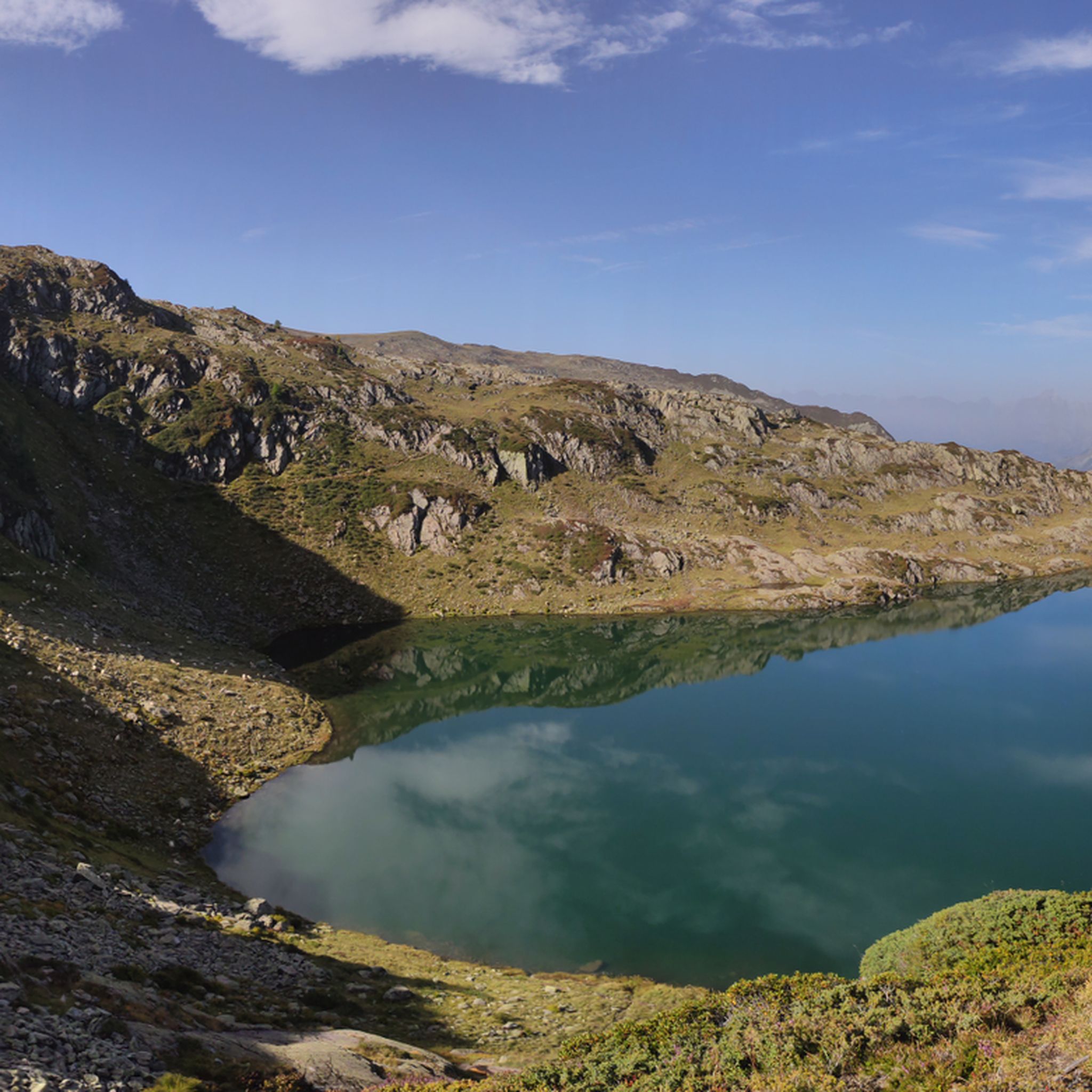
Mountaineering routes around Réserve naturelle de Carlaveyron traverse a dramatic alpine landscape, characterized by a vast glacial amphitheater and a varied relief of medium and high mountains. The reserve, spanning from 3,200 to 7,500 feet (1,000 to 2,300 meters) in elevation, is primarily composed of siliceous and crystalline rocks, offering direct views of the Mont Blanc Massif. This challenging terrain includes numerous streams, lakes, marshes, and peat bogs, providing a unique environment for experienced mountaineers.
Best mountaineering routes around Réserve naturelle de Carlaveyron
- The most popular mountaineering route is Mountaineering loop from Les Houches, a 6.5 miles (10.5 km) trail that takes 5 hours 38 minutes to complete. This difficult route offers sustained ascents through alpine terrain.
- Another top favourite among local mountaineers is Lac de Pormenaz – Lake Pormenaz loop from Servoz, a difficult 7.6 miles (12.2 km) path. This route leads through high mountain landscapes, passing alpine lakes.
- Local mountaineers also love the Lac du Brévent loop from Le Brévent, a 3.8 miles (6.1 km) trail leading through high alpine scenery, often completed in about 2 hours 42 minutes.
- Mountaineering around Réserve naturelle de Carlaveyron is defined by challenging alpine terrain, crystalline rock formations, and panoramic views of the Mont Blanc Massif. The network offers demanding options suitable for experienced mountaineers.
- The routes in Réserve naturelle de Carlaveyron are highly rated by the komoot community with an average score of 4.8 stars from over 100 reviews. More than 1,300 mountaineers have used komoot to explore Réserve naturelle de Carlaveyron's varied terrain.
Last updated: July 25, 2026
5.0
(1)
21
hikers
11.0km
05:48
980m
980m
Hard mountaineering route. Very good fitness required. Mostly accessible paths. Sure-footedness required.
6
hikers
16.6km
08:10
1,260m
1,260m
Hard mountaineering route. Very good fitness required. Mostly accessible paths. Sure-footedness required.

Sign up for free
3.0
(1)
9
hikers
12.2km
06:32
1,070m
1,070m
Hard mountaineering route. Very good fitness required. Sure-footedness, sturdy shoes and alpine experience required.
6
hikers
6.24km
02:46
390m
380m
Moderate mountaineering route. Good fitness required. Mostly accessible paths. Sure-footedness required.
5.0
(3)
47
hikers
23.5km
10:55
1,600m
1,600m
Hard mountaineering route. Very good fitness required. Sure-footedness, sturdy shoes and alpine experience required.
Get access to more routes and recommendations from other explorers.
Sign up for free
Already have an account?
Our route recommendations are based on thousands of hikes, rides, and runs completed by other people on komoot.
Start today with a free account
Your next adventure awaits.
Login or Signup
Popular around Réserve naturelle de Carlaveyron
Road Cycling Routes around Réserve naturelle de Carlaveyron
Cycling around Réserve naturelle de Carlaveyron
Running Trails around Réserve naturelle de Carlaveyron
MTB Trails around Réserve naturelle de Carlaveyron
Hiking around Réserve naturelle de Carlaveyron

Gravel biking around Réserve naturelle de Carlaveyron
Tips from the Community

The Gîte à Balmat is located below La Jonction. It is a natural shelter, simply built into the rock, where guide Jacques Balmat and Dr. Michel Paccard bivouacked on August 7, 1786, in adverse weather conditions, during the very first successful ascent of Mont Blanc. From here, at an altitude of approximately 2,530 meters, the view over the Chamonix valley is magnificent.
1
0

The cable car 🚡 takes you to the mid-station or up to the Brévent. From both stations, you can enjoy beautiful hikes with views of Mont Blanc. Tickets can be booked online in advance or directly at the valley station. There is also a parking garage at the valley station. Further information is available at https://de.chamonix.com/tatichkeiten/praktische-informationen-zu-den-skiliften/seilbahn-le-brevent
1
0

stairs in bad condition
0
0


For friends of climbing....definitely a must
0
0
If you like ruins, you've come to the right place
0
0

Very icy in the winter, need crampons, but beautiful.
0
0

the video of the sallanches - lake of Pormenaz route https://youtu.be/l23IUvTwiSc?si=zyzWhbqQLNobocY-
1
0
Frequently Asked Questions
What kind of terrain can I expect on mountaineering routes in Réserve naturelle de Carlaveyron?
The Réserve naturelle de Carlaveyron features a dramatic alpine landscape, shaped by a vast glacial amphitheater. You'll encounter a varied relief of medium and high mountains, primarily composed of siliceous and crystalline rocks. The terrain is challenging, with sustained ascents and descents, and includes numerous streams, lakes, marshes, and peat bogs, offering a unique environment for experienced mountaineers.
Are there any easy mountaineering routes for beginners in the Réserve naturelle de Carlaveyron?
The mountaineering routes within the Réserve naturelle de Carlaveyron are generally considered challenging and are best suited for experienced mountaineers. The guide data indicates that all 56 available routes are either moderate or difficult, with 45 classified as difficult. These trails require excellent physical condition, sure-footedness, sturdy footwear, and prior alpine experience.
What are some notable natural features or landmarks I might see on a mountaineering route?
The reserve offers breathtaking natural features. You'll find a unique 'aquatic garden' with numerous streams, lakes, marshes, and peat bogs. The area is also known for its impressive geological formations of siliceous and crystalline rocks. For specific points of interest, consider routes that offer views of the Mont Blanc Massif or pass by highlights such as Pierre Blanche or Aiguilette des Houches.
Can I bring my dog on the mountaineering trails in Réserve naturelle de Carlaveyron?
No, dogs are generally not permitted within the Réserve naturelle de Carlaveyron. The reserve has strict conservation regulations in place to protect its pristine environment and diverse fauna, which include prohibitions on dogs. It's best to leave your canine companions at home when exploring this specific area.
Are there any family-friendly hiking options near Réserve naturelle de Carlaveyron?
While the mountaineering routes directly within the Réserve naturelle de Carlaveyron are challenging and not typically suitable for families with young children, the broader region offers other hiking opportunities. The reserve itself is renowned for strenuous hikes, so for family-friendly options, you might need to explore trails outside the immediate reserve boundaries or look for less demanding paths in the surrounding valleys.
What is the best time of year for mountaineering in Réserve naturelle de Carlaveyron?
The best time for mountaineering in Réserve naturelle de Carlaveyron is typically during the warmer months when trails are free of snow and ice, generally from late spring to early autumn. This allows for safer passage through the challenging alpine terrain. Winter mountaineering options exist but require specialized equipment, skills, and awareness of avalanche risks.
How many mountaineering routes are available in Réserve naturelle de Carlaveyron?
There are over 50 mountaineering routes available in Réserve naturelle de Carlaveyron. Our guide features 56 distinct routes, with the majority (45) classified as difficult, offering ample opportunities for experienced mountaineers to explore the challenging alpine environment.
What do other mountaineers enjoy most about the routes in Réserve naturelle de Carlaveyron?
The routes in Réserve naturelle de Carlaveyron are highly rated by the komoot community, with an average score of 4.8 stars from over 100 reviews. Mountaineers often praise the challenging alpine terrain, the unique crystalline rock formations, and the breathtaking panoramic views of the Mont Blanc Massif that make the strenuous ascents incredibly rewarding.
Are there any circular mountaineering routes in the reserve?
Yes, there are several circular mountaineering routes available. For example, the Mountaineering loop from Les Houches is a difficult 6.5-mile (10.5 km) trail, and the Lac de Pormenaz – Lake Pormenaz loop from Servoz offers a challenging 7.6-mile (12.2 km) experience through high mountain landscapes.
Where can I find parking for mountaineering trails in Réserve naturelle de Carlaveyron?
Access points to the reserve's trails often have designated parking areas. For routes like the Mountaineering loop from Les Houches, you would typically find parking in or near Les Houches. Similarly, for the Lac de Pormenaz – Lake Pormenaz loop from Servoz, parking would be available in Servoz. It's advisable to check specific route details for precise parking information.
Do I need a permit for mountaineering in Réserve naturelle de Carlaveyron?
While general access for hiking is usually open, it's important to be aware of the specific conservation regulations of the Réserve naturelle de Carlaveyron. These regulations are designed to protect the pristine environment. Currently, there is no mention of a general permit requirement for mountaineering, but it's always wise to check local signage or official reserve websites for any updates or specific restrictions before your visit.
Are there any cafes or places to eat near the mountaineering routes?
While the reserve itself is a protected natural area without commercial establishments, you can find cafes and restaurants in the nearby towns and villages that serve as starting points for many routes. For instance, the Café, pie and terrace loop from Les Bossons suggests that amenities are available in the vicinity of trailheads like Les Bossons or Les Houches.
Most popular routes around Réserve naturelle de Carlaveyron
Most popular attractions around Réserve naturelle de Carlaveyron

Get inspired with the komoot mobile app


Explore more
Browse the best Mountain Hikes & Routes in other regions.
