The best running trails around Benifato
4.5
(21)
1,594
runners
60
runs
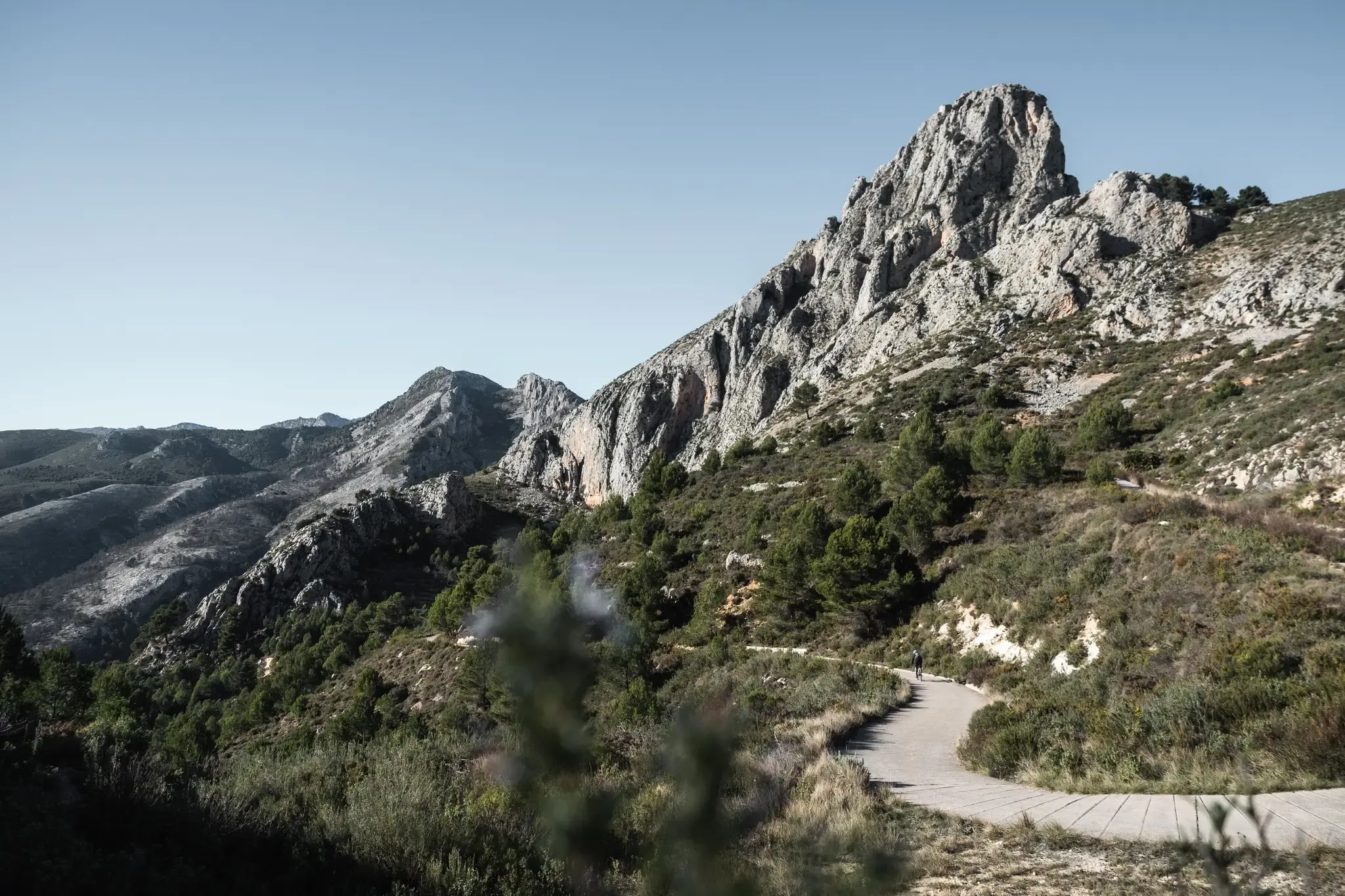
Jogging around Benifato offers access to a diverse landscape characterized by the rugged Sierra de Aitana mountain range. The region features significant elevation changes, with routes often traversing mountainous terrain and offering views of natural springs and reservoirs. Many trails explore the areas around Font de Forata and Simas de Partagat, providing a challenging yet rewarding experience for runners. The varied topography ensures a dynamic environment for running.
Best jogging routes around Benifato
- The most popular jogging route is Sierra…
Last updated: July 7, 2026
1
runners
7.03km
01:28
490m
490m
Tackle the difficult 4.4-mile La Serra d'Aitana circular trail run from la Font del Partagat, gaining 1622 feet for panoramic views.
80
runners
41.2km
07:12
2,330m
2,330m
Hard run. Very good fitness required. Sure-footedness, sturdy shoes and alpine experience required.

Sign up for free
34
runners
14.8km
02:05
660m
660m
Hard run. Very good fitness required. Sure-footedness, sturdy shoes and alpine experience required.
16
runners
23.3km
03:35
1,260m
1,260m
Hard run. Very good fitness required. Sure-footedness, sturdy shoes and alpine experience required.
16
runners
21.7km
03:05
1,010m
1,010m
Hard run. Very good fitness required. Sure-footedness, sturdy shoes and alpine experience required.
Get access to more routes and recommendations from other explorers.
Sign up for free
Already have an account?
Our route recommendations are based on thousands of hikes, rides, and runs completed by other people on komoot.
Start today with a free account
Your next adventure awaits.
Login or Signup


Other adventures around Benifato

Tips from the Community


Magnificent viewpoint mountain, easy to climb, ascent not exposed.
1
0

El Castell de Guadalest is a charming town in the province of Alicante, located in a mountainous area of the Marina Baixa region. This picturesque village is known for its impressive medieval castle and panoramic views. Although only the remains of this impressive building remain, we can get an idea of its importance thanks to its strategic position and the fabulous views it offers.
9
0
Good paved road, moderate traffic. Views of the reservoir, the Aitana and Serrella mountain ranges, and villages like Beniardà and Benimantell.
6
0

short VIDEOs about this hike could be found at the following links at my youTUBE channel: https://www.youtube.com/watch?v=77nMyRJvnZw https://www.youtube.com/watch?v=WVZN57p8yuA https://www.youtube.com/watch?v=7QFmKmQYq4U
0
0
short video about hiking in this area could be found under the following link:https://www.youtube.com/watch?v=X6oq671xdhM
0
0

The walk around the reservoir is beautiful, but the reservoir hardly has any water left.
0
0

Frequently Asked Questions
Are there running routes suitable for beginners in Benifato?
Benifato's terrain is predominantly mountainous, making most running routes quite challenging. While there are no routes classified as 'easy', you can find 10 routes of moderate difficulty. The majority, 56 routes, are considered difficult, often involving significant elevation changes within the Sierra de Aitana.
What are the typical distances for running routes around Benifato?
Running routes in Benifato vary significantly in length due to the mountainous terrain. You can find shorter, challenging loops like the Sierra de Aitana Loop Trail at 7 km (4.4 miles), or longer, more demanding runs such as the Guadalest Reservoir – Guadalest Reservoir loop from Benimantell, which spans over 23 km (14.4 miles).
Where can I find parking when planning a run in Benifato?
Parking in Benifato is generally available within the village itself, often near the main square or church. For specific trailheads, it's advisable to check the route details on komoot, as some popular starting points may have small designated parking areas. Given the rural nature of the area, roadside parking near trail access points is also common.
Is public transport available to reach the running trails in Benifato?
Public transport options directly to Benifato are limited, as it is a small mountain village. It's generally recommended to travel by car to access the running trails. Some regional bus services might connect to larger nearby towns like Callosa d'en Sarrià or Altea, from where you would need to arrange further transport to Benifato.
Are there any family-friendly running options in Benifato?
Due to the challenging and mountainous nature of the terrain, most running routes around Benifato are not typically classified as family-friendly for younger children or those seeking very easy, flat paths. The routes often involve significant climbs and descents, making them more suitable for experienced runners or families with older, active children accustomed to strenuous hikes.
Are dogs allowed on the running routes in Benifato?
Generally, dogs are welcome on most trails in the Benifato area, especially in the natural mountain environment. However, it's always recommended to keep your dog on a leash, particularly in areas with livestock or protected wildlife. Ensure you carry enough water for both yourself and your dog, as natural water sources might be scarce on some routes.
What is the best time of year for running in Benifato?
The best time for running in Benifato is typically during the spring (March to May) and autumn (September to November). During these seasons, temperatures are milder and more pleasant for physical activity. Summers can be very hot, making early morning or late evening runs necessary, while winters can bring cooler temperatures and occasional rain, though snow is rare at lower elevations.
What kind of weather conditions should I expect when running in Benifato?
Benifato experiences a Mediterranean climate with mountain influences. Summers are hot and dry, often exceeding 30°C (86°F). Winters are mild but can be cool, especially at higher altitudes, with occasional rain. Spring and autumn offer moderate temperatures. Always check the local forecast before heading out, as weather in mountainous regions can change quickly.
Are there any viewpoints or natural landmarks along the running trails?
Yes, the running routes around Benifato offer numerous opportunities to experience stunning natural beauty. You can find impressive natural monuments like the Penya Blanca Cliffs and the Font de l'Arc Rock Arch. Additionally, several viewpoints provide panoramic vistas, such as the Relleu Footbridge Viewpoint and the Mirador de Cocoll, offering breathtaking views of the surrounding mountains and valleys.
Are there any circular running routes in Benifato?
Yes, many of the running routes in Benifato are designed as circular loops, allowing you to start and finish at the same point. Examples include the challenging Font de Forata – Simas de Partagat loop from Benifato, which explores natural springs and unique rock formations, and the Font de Forata – Simas de Partagat loop from Serra d'Aitana, leading through mountainous terrain.
What do other runners enjoy most about jogging in Benifato?
The running experience in Benifato is highly rated by the komoot community, with an average score of 4.5 stars from over 15 reviews. Runners frequently praise the challenging mountainous terrain, the stunning views of the Sierra de Aitana, and the opportunity to explore natural features like springs and unique rock formations. The diverse topography provides a dynamic and rewarding environment for those seeking a strenuous workout amidst beautiful scenery.
How many running routes are available in Benifato?
There are over 60 running routes available around Benifato on komoot. These routes primarily cater to moderate to advanced ability levels, offering a wide range of options for exploring the region's mountainous landscape.
Most popular attractions around Benifato

Get inspired with the komoot mobile app


Explore more
Browse the best Running Trails & Routes in other regions.
