The best running trails around Urnieta
4.3
(130)
9,464
runners
10
runs
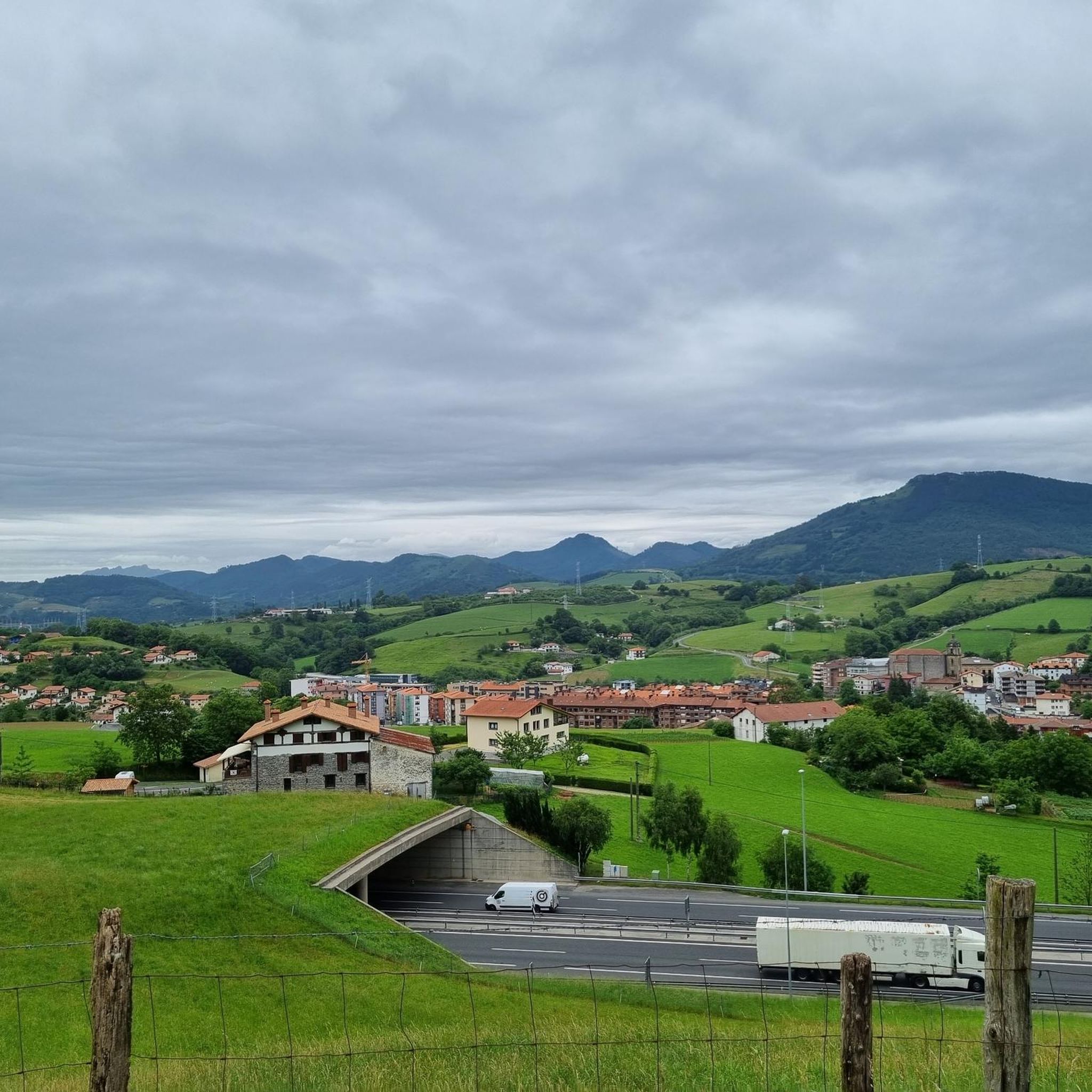
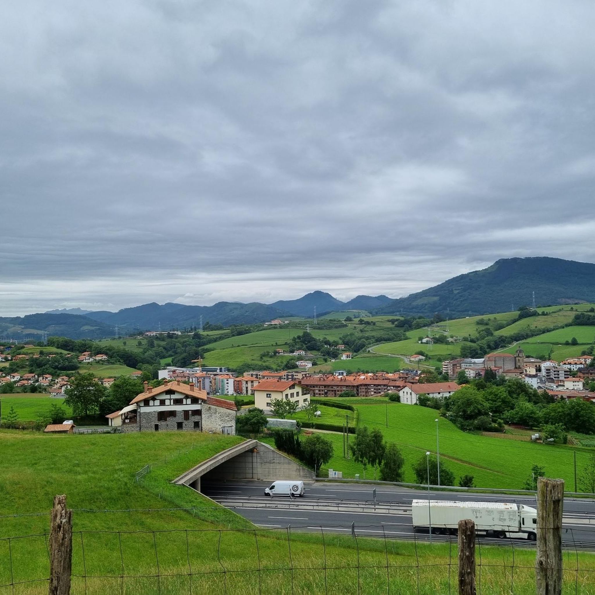
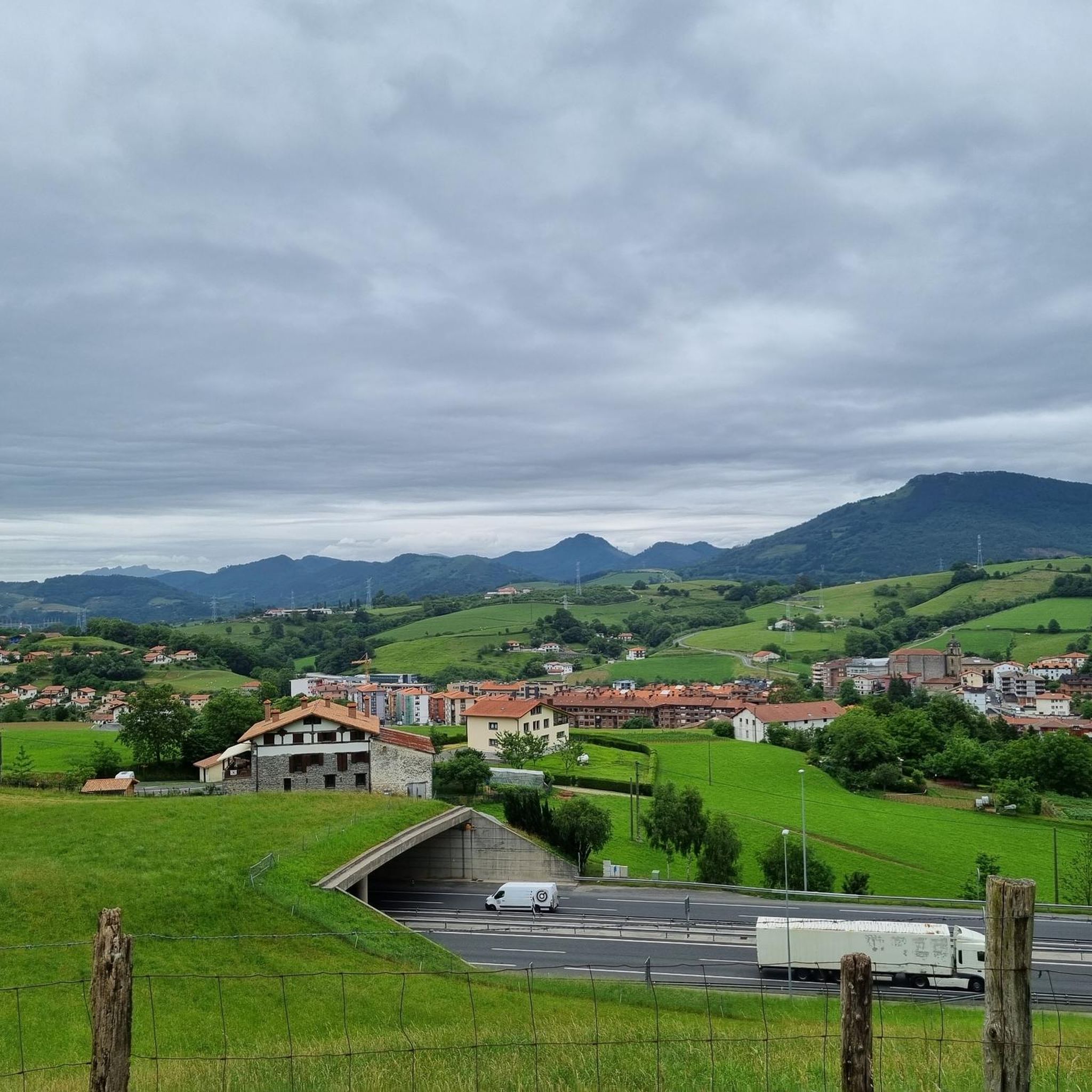
Jogging around Urnieta offers a diverse landscape for runners, characterized by rolling hills and varied terrain. The region features routes that ascend to viewpoints like those near Adarra, providing a mix of challenging climbs and more gentle paths. Many trails weave through natural settings, offering a blend of open spaces and areas with historical markers such as cromlechs. The elevation changes across the routes indicate a landscape that provides both endurance challenges and scenic running experiences.
Best jogging routes around…
Last updated: July 5, 2026
26
runners
9.35km
01:38
500m
500m
Hard run. Very good fitness required. Sure-footedness, sturdy shoes and alpine experience required.
13
runners
7.90km
00:51
120m
120m
Moderate run. Good fitness required. Mostly paved surfaces. Suitable for all skill levels.

Sign up for free
7
runners
11.5km
01:14
160m
160m
Moderate run. Good fitness required. Mostly paved surfaces. Suitable for all skill levels.
5
runners
9.44km
01:39
530m
530m
Hard run. Very good fitness required. Sure-footedness, sturdy shoes and alpine experience required.
5
runners
15.2km
02:02
510m
510m
Hard run. Very good fitness required. Sure-footedness, sturdy shoes and alpine experience required.
Get access to more routes and recommendations from other explorers.
Sign up for free
Already have an account?
Our route recommendations are based on thousands of hikes, rides, and runs completed by other people on komoot.
Start today with a free account
Your next adventure awaits.
Login or Signup

Tips from the Community

Beautiful cromlech at the confluence between the GR and the PR.
1
0
One of the coolest peaks in Gipuzkoa and, therefore, a place for a mountaineering "pilgrimage" on weekends. A taste of views.
1
0
This area is a rocky area a few meters from the summit.
1
0

Striking and repeatedly photographed prehistoric complex that stands out among the multiple sites found on Mount Adarra.
1
0
Mountain located 10 km south of San Sebastián, 811 meters high. In its surroundings, various megalithic monuments stand out such as cromlechs, dolmens, tombs and menhirs, the Eteneta cromlechs with their large menhir standing out.
2
1

When you arrive from this small road, you can see Mount Agerreburu in the background, where climbers can usually be seen practicing this sport on its walls.
0
0

The Leizotz stream is located between the neighborhoods of Goiburu and Leitzotz. Normally it has little tributary of water and it is possible to pass through it without problem.
0
0
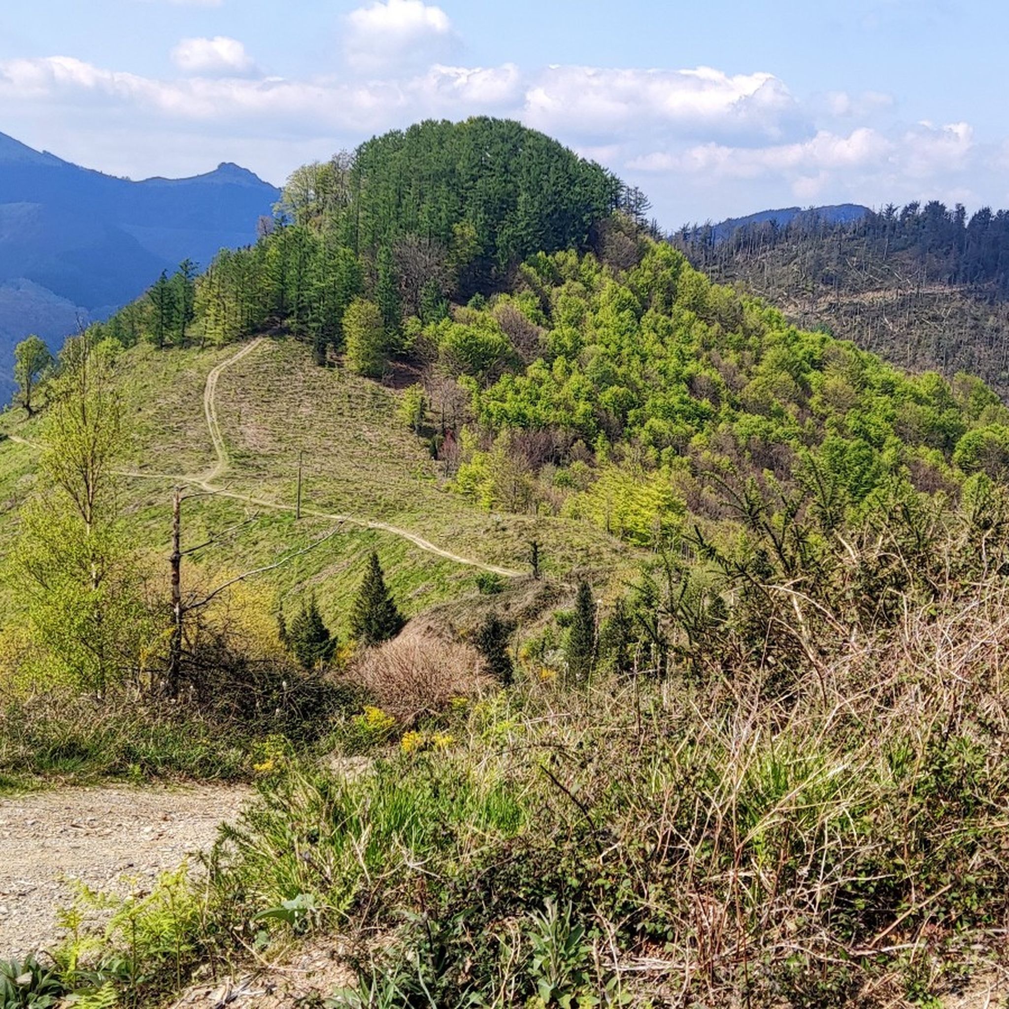
The forest of the ascent of the neighborhood of Goiburu will surprise you. una As you go up you go into a pine forest that is combined with beech forest areas. A landscape very typical of the Basque Country.
0
0
Frequently Asked Questions
How many running routes are available in Urnieta?
Urnieta offers a selection of 11 running routes, catering to various fitness levels. These include 1 easy, 4 moderate, and 6 difficult trails, providing diverse options for runners.
Are there easy running routes suitable for beginners in Urnieta?
Yes, Urnieta has at least one easy running route. While many trails feature significant elevation changes, there are options for those new to running or looking for a less strenuous experience. Always check the route details for difficulty before heading out.
Where can I find longer running trails for endurance training in Urnieta?
For longer runs, consider routes like the Adarra – Muntto loop from Aballarri, which spans nearly 13 km with significant elevation, or the Free Climbing loop from Urnieta, offering over 11 km of varied terrain.
Is parking available near the running trails in Urnieta?
While specific parking information for each trailhead isn't always detailed, Urnieta is a town with general parking facilities. For routes starting from Aballarri, you would typically find parking in or near the village. It's advisable to check local maps or komoot route details for specific starting points.
How accessible are Urnieta's running routes by public transport?
Urnieta is generally well-connected by local public transport, particularly buses, which can provide access to the town center where some routes begin. For trails starting further afield, like those near Aballarri, public transport options might be more limited, and a car could be more convenient. Always check current schedules and routes.
Can I bring my dog on the running trails around Urnieta?
Many outdoor trails in the Urnieta region are dog-friendly, especially those in natural, less populated areas. However, it's always best to keep your dog on a leash, especially in areas with livestock or protected wildlife, and to follow local regulations regarding pets on trails. Always carry water for your dog and clean up after them.
What is the best time of year to go running in Urnieta?
The spring and autumn months generally offer the most pleasant running conditions in Urnieta, with milder temperatures and beautiful natural scenery. Summers can be warm, especially at midday, while winters can be damp and cooler, though trails are often still accessible. Always check the weather forecast before your run.
What kind of gear should I wear for running in Urnieta's terrain?
Given Urnieta's hilly and varied terrain, it's recommended to wear trail running shoes for good grip and support. Layered clothing is advisable to adapt to changing weather conditions, and bringing water is essential, especially on longer routes with significant elevation. A light backpack for essentials is also useful.
Which running routes offer the best viewpoints in Urnieta?
Many routes in Urnieta ascend to higher elevations, offering panoramic views. Trails leading towards the Adarra area, such as the Adarra – Cromlech Arleorko Zabala loop from Aballarri, provide stunning vistas. The region's natural monuments and peaks, like Adarra Summit (849 m), are often accessible via these routes and offer excellent viewpoints.
Are most running routes in Urnieta circular?
Yes, many of the popular running routes in Urnieta are designed as circular loops, allowing you to start and finish at the same point. Examples include the Running loop from Urnieta and the Adarra loop from Aballarri, which are convenient for exploration without needing to retrace your steps.
What do other runners enjoy the most about jogging in Urnieta?
The komoot community highly rates the running experience in Urnieta, with an average score of 4.3 stars from over 130 reviews. Runners often praise the diverse landscape, the mix of challenging climbs and scenic paths, and the opportunity to encounter historical markers like cromlechs. The varied terrain and natural settings are frequently highlighted as key attractions.
Are there any interesting landmarks or natural monuments to see along the running routes?
Absolutely! Urnieta's running routes often pass by significant landmarks and natural features. For instance, the Adarra – Cromlech Arleorko Zabala loop from Aballarri takes you past ancient stone structures. Other notable points of interest in the wider region include the Peña de Ataloi and the Adarra Summit (849 m), which offer both historical context and stunning views.
Most popular attractions around Urnieta

Get inspired with the komoot mobile app


Explore more
Browse the best Running Trails & Routes in other regions.
