The best walks and hikes around Lagueruela
4.6
(11)
106
hikers
3
hikes
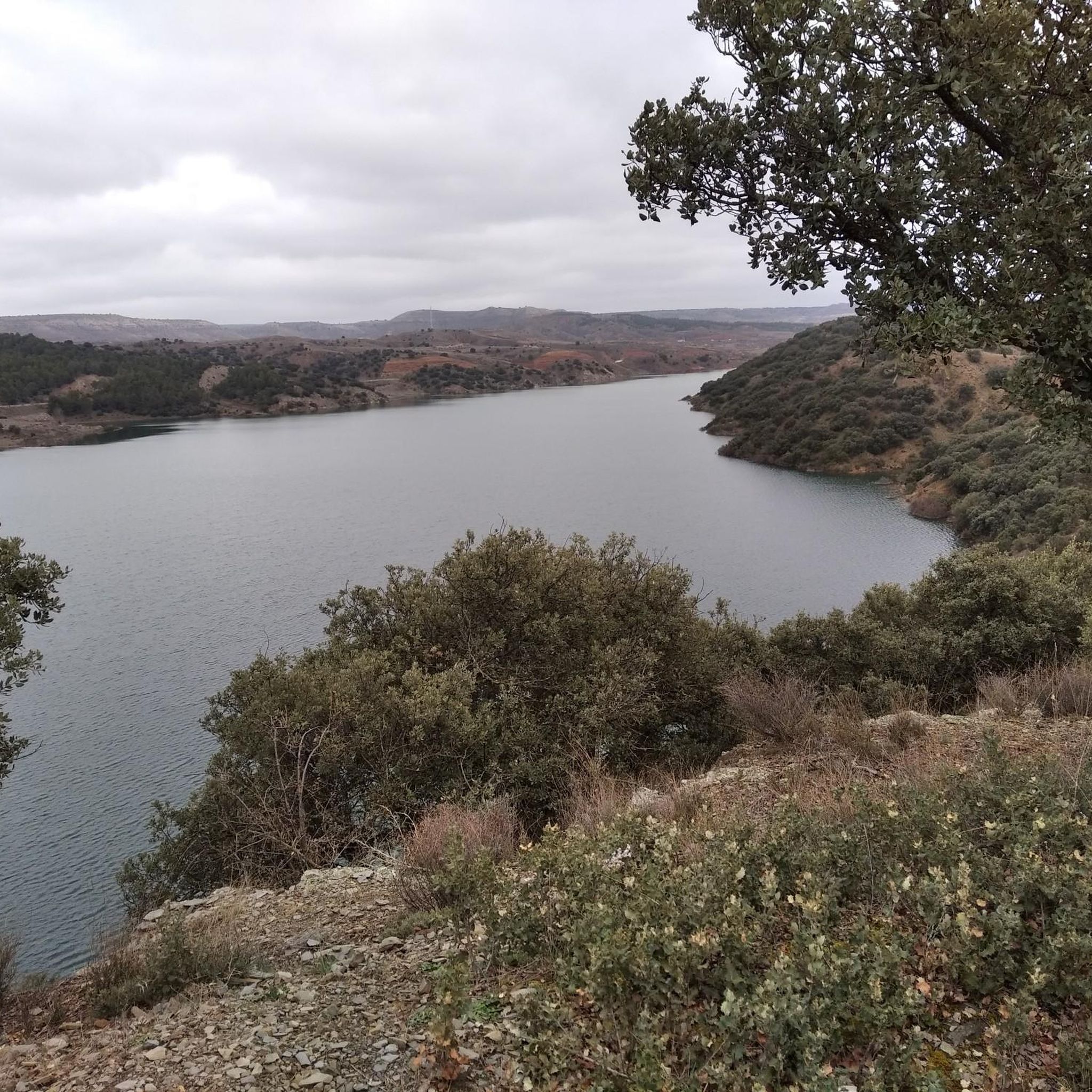
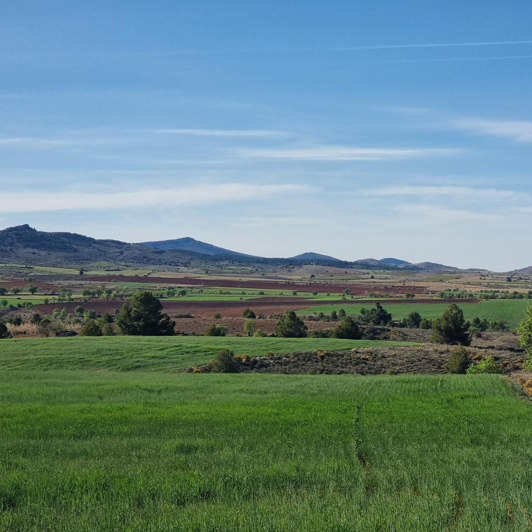
Hiking around Lagueruela offers diverse landscapes, situated between the foothills of the Sierra de Cucalón and the plains of Campo Romanos. The region features a varied topography, including the valley of the Huerva River with its lush gallery forest, forming a green corridor. A portion of Lagueruela also lies within the Sierra de Fonfría Site of Community Importance, characterized by Pyrenean and Portuguese oak forests, extensive juniper scrubland, and thyme fields. These natural features provide a range of scenic views and ecological interest for hikers.
Best hiking trails around Lagueruela
- The most popular hiking route is Aguallueve and Arguilay Circular Trail, a 7.1 miles (11.4 km) trail that takes 3 hours 10 minutes to complete. This moderate route explores varied terrain around the Aguallueve area.
- Another top favourite among local hikers is Burbáguena - Luco de Jiloca Trail (PR-TE 39), a difficult 11.8 miles (18.9 km) path. This trail offers a longer challenge, connecting different villages and showcasing the broader regional landscape.
- Local hikers also love the Aguallueve de Anento loop from Anento, a 3.2 miles (5.1 km) trail leading through the Aguallueve de Anento area, often completed in about 1 hour 26 minutes.
- Hiking around Lagueruela is defined by varied topography, the Huerva River valley, and oak forests and juniper scrubland. The available routes offer options for moderate to difficult ability levels.
- The routes in Lagueruela are highly rated by the komoot community with an average score of 4.6 stars from over 10 reviews. More than 100 hikers have used komoot to explore Lagueruela's varied terrain.
Last updated: July 11, 2026
4.8
(4)
30
hikers
11.4km
03:10
210m
220m
Moderate hike. Good fitness required. Easily-accessible paths. Suitable for all skill levels.
2
hikers
18.9km
05:12
310m
310m
Hard hike. Very good fitness required. Easily-accessible paths. Suitable for all skill levels.

Sign up for free
4.8
(4)
48
hikers
2.80km
00:49
70m
70m
Hard hike. Great for any fitness level. Sure-footedness, sturdy shoes and alpine experience required.
5.0
(2)
19
hikers
5.09km
01:26
100m
100m
Hard hike. Great for any fitness level. Sure-footedness, sturdy shoes and alpine experience required.
4.0
(1)
5
hikers
13.0km
04:10
530m
530m
Moderate hike. Good fitness required. Easily-accessible paths. Suitable for all skill levels.
Our route recommendations are based on thousands of hikes, rides, and runs completed by other people on komoot.
Start today with a free account
Your next adventure awaits.
Login or Signup
Popular around Lagueruela
Tips from the Community

The Aguallueve de Anento is a beautiful spring located in the picturesque town of Anento, in the province of Zaragoza. The Aguallueve is a spring that continuously falls in the form of drops of water, creating a spectacular relief with walls of stone and moss, and small caves hidden inside. It is a limestone formation where several springs have created an impressive karst relief.
5
0
The Aguallueve de Anento is a beautiful spring located in the picturesque town of Anento, in the province of Zaragoza. The Aguallueve is a spring that continuously falls in the form of drops of water, creating a spectacular relief with walls of stone and moss, and small caves hidden inside. It is a limestone formation where several springs have created an impressive karst relief.
7
0

Near the town of Anento, we find this detour that leads to a beautiful pool of crystal clear water surrounded by a beautiful natural environment. An ideal place for lovers of outdoor activities.
1
0
We are on the roof of the Cucalón region and the mountain range of the same name. This is La Modorra, located at an altitude of 1,481 meters where we will find a geodesic vertex and panoramic views sheltered by the Sierra de Oriche and the Colladico valley.
1
0
Near the town of Anento, we find this beautiful pool of crystal clear water surrounded by a beautiful natural environment. Ideal for the hottest summer months.
2
0

Beautiful and quiet town in the interior of Teruel that is located on the banks of the Jiloca River. Within its heritage is the picturesque Mudejar-style church and its iconic medieval bridge with three arches that crosses the river.
3
0
Settled on the banks of the Jiloca River, this beautiful and quiet town in Turol is worth visiting. There are records of it in documents dating from the year 1156 at that time called "Burbaca" and it is still unknown for sure if its origin is Arab or pre-Roman. From here you can start several hiking trails, some towards the interior of Teruel like the one that runs through Luco de Jiloca, and others towards the interior of Zaragoza, a neighboring province.
3
0
We are in the beautiful town of Anento visiting its castle, of which the walls remain, a beautiful main façade with its door and a bridge over a moat. Nearby, we will find picnic tables shaded by pine trees and beautiful wood carvings/sculptures.
1
0
Frequently Asked Questions
What kind of landscapes can I expect to see while hiking in Lagueruela?
Lagueruela offers a diverse range of landscapes, from the gentle foothills of the Sierra de Cucalón to the expansive plains of Campo Romanos. You'll find the lush gallery forest along the Huerva River valley, creating a 'green corridor,' and areas within the Sierra de Fonfría Site of Community Importance, characterized by Pyrenean and Portuguese oak forests, extensive juniper scrubland, and thyme fields.
How many hiking trails are available in Lagueruela?
There are several hiking routes available in and around Lagueruela. komoot currently lists 5 distinct hiking tours, offering a variety of experiences for different skill levels.
What are the typical difficulty levels of hikes in Lagueruela?
The hiking trails in Lagueruela range from moderate to difficult. For example, the Aguallueve and Arguilay Circular Trail is considered moderate, while routes like the Burbáguena - Luco de Jiloca Trail (PR-TE 39) present a more difficult challenge.
Are there any circular hiking routes in Lagueruela?
Yes, you can find circular routes in the area. A notable option is the Aguallueve and Arguilay Circular Trail, which is a moderate 7.1-mile (11.4 km) loop exploring varied terrain.
Can I find hikes with waterfalls or interesting natural features?
Absolutely. The area is home to natural wonders like Aguallueve de Anento, a unique waterfall feature. The Huerva River valley itself is a significant natural feature with a well-preserved fluvial ecosystem and lush gallery forest.
Are there any historical landmarks or points of interest along the trails?
Yes, you can discover historical points of interest. For instance, the Aguallueve de Anento – Anento Castle loop from Anento passes by Anento Castle. Additionally, the Roman bridge of Luco de Jiloca is another notable landmark in the broader region.
What do other hikers enjoy the most about hiking in Lagueruela?
The area is highly rated by the komoot community, with an average score of 4.6 stars from over 10 reviews. Hikers often praise the varied terrain and the natural beauty of the region, including the Huerva River valley and the oak forests.
Are the hiking trails in Lagueruela suitable for families?
While specific 'easy' family-friendly routes are not predominantly featured, the region's diverse landscapes offer opportunities for families. Routes like the Aguallueve de Anento loop from Anento, at 3.2 miles (5.1 km), might be manageable for active families, though it is rated difficult. Always check the route details for elevation and distance to match your family's ability.
Are dogs allowed on the hiking trails in Lagueruela?
Generally, dogs are welcome on hiking trails in rural areas of Aragon, including Lagueruela, especially if kept on a leash and under control. It's always advisable to check local regulations or signage at trailheads, particularly within protected areas like the Sierra de Fonfría LIC, to ensure compliance.
What is the best time of year to go hiking in Lagueruela?
The best time for hiking in Lagueruela is typically during spring and autumn when temperatures are milder and the natural scenery is at its most vibrant. Summer can be hot, especially in the plains, while winter might bring colder temperatures, though snow is less common than in higher mountain ranges.
Are there any facilities or recreation areas along the trails?
Yes, you can find facilities in the area. The Arguilay Recreation Area is one such spot that hikers might encounter or use as a starting point or rest stop.
Most popular routes around Lagueruela
Most popular attractions around Lagueruela

Get inspired with the komoot mobile app


Explore more
Browse the best Hikes in other regions.
