The best running trails around Sierra Engarcerán
5.0
(3)
497
runners
59
runs
Jogging routes around Sierra Engarcerán are characterized by a diverse and rugged mountainous terrain within the province of Castellón. The region features varied elevations, with the municipality center at 748 meters above sea level, providing dynamic and engaging running routes. Runners can explore Valencian oak and pine forests, offering shaded and scenic paths, alongside natural formations like gorges.
Best jogging routes around Sierra Engarcerán
- The most popular jogging route is Bassot del Mas de Penya – Bassa de l'Argila loop…
Last updated: July 11, 2026
70
runners
18.1km
02:45
870m
870m
Hard run. Very good fitness required. Sure-footedness, sturdy shoes and alpine experience required.
5.0
(1)
7
runners
7.68km
00:56
200m
200m
Moderate run. Good fitness required. Mostly paved surfaces. Suitable for all skill levels.

Sign up for free
5
runners
8.65km
00:56
140m
140m
Moderate run. Good fitness required. Mostly paved surfaces. Suitable for all skill levels.
5
runners
11.9km
01:57
630m
630m
Hard run. Very good fitness required. Sure-footedness, sturdy shoes and alpine experience required.
4
runners
10.4km
01:08
130m
130m
Moderate run. Good fitness required. Mostly paved surfaces. Suitable for all skill levels.
Get access to more routes and recommendations from other explorers.
Sign up for free
Already have an account?
Our route recommendations are based on thousands of hikes, rides, and runs completed by other people on komoot.
Start today with a free account
Your next adventure awaits.
Login or Signup
Tips from the Community

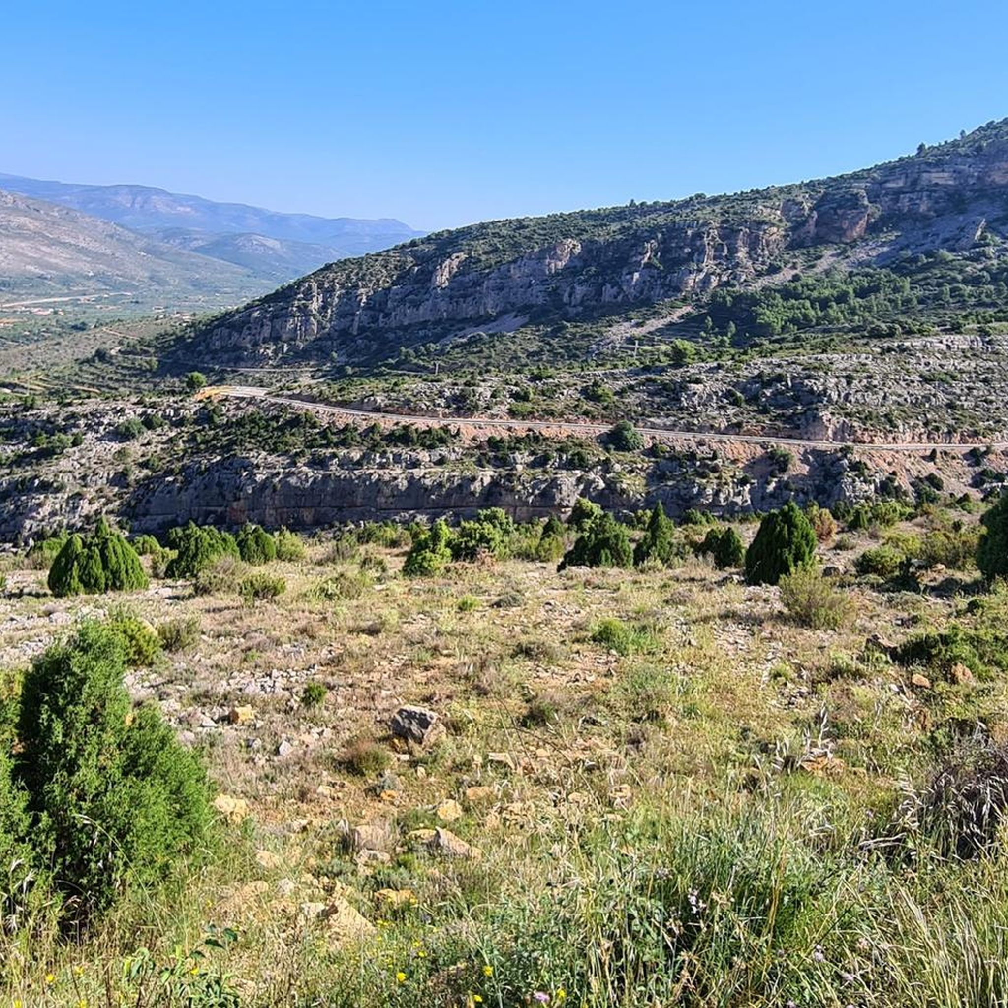
It is a short but very hard ascent, which will probably surprise us with its difficulty. We will start the climb with an initial section up to the crossroads of the CV-15 with some hard ramps already, we will cross the town of Rosildos, going around the church to look for the street that leads us towards Mas de Cervera, where we will join the "main" road towards Serra Engarcerán. Upon reaching a somewhat more wooded area, we will find a small rest, but let's not be overconfident, because after taking a left turn and the trees disappear, we will encounter the hardest part of the ascent, where the gradient reaches a maximum of 16% on a 500 m section that does not drop below 10%. We will finish somewhat more easily, but undoubtedly this climb will have pleasantly surprised us.
0
0

Municipality of the Plana Alta region, in Castellón (Valencian Community). The place name is related to the color white, which would come from the primitive Mozarabic. Until 1925 it belonged to Villafamés, until it was segregated as an independent municipality. It is located in a valley between the coastal and pre-coastal mountain ranges of Castellón, which makes it ideal for housing typical Mediterranean crops such as almond trees, vineyards and olive trees. Among its cultural heritage, the parish church of San Juan Bautista stands out, built in 1902, and the hermitage of San Cristóbal.
0
0

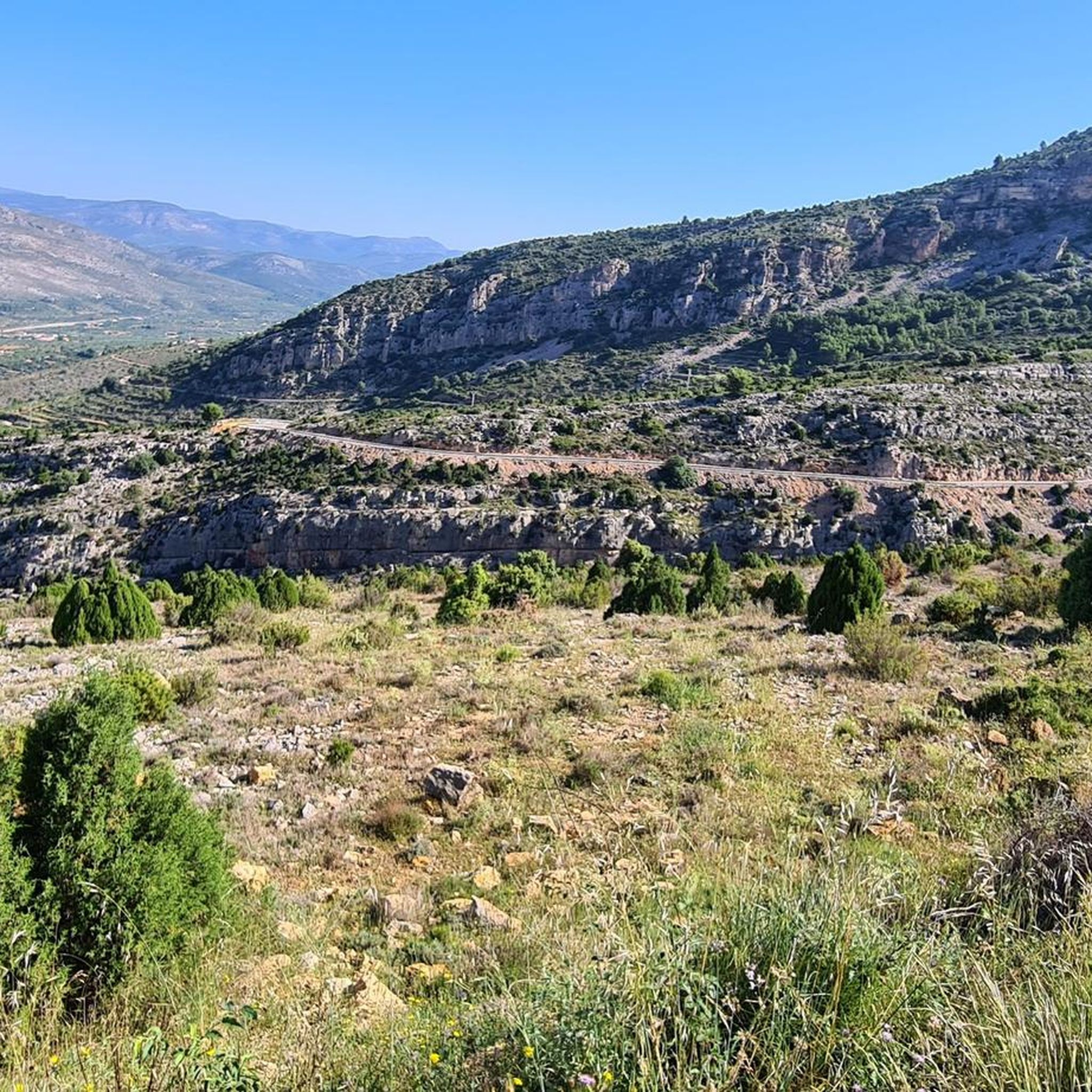
La Plana Alta has several road passes, but this one is undoubtedly among the most picturesque. You can reach it either by road or with some gravel track variants from many directions.
4
0
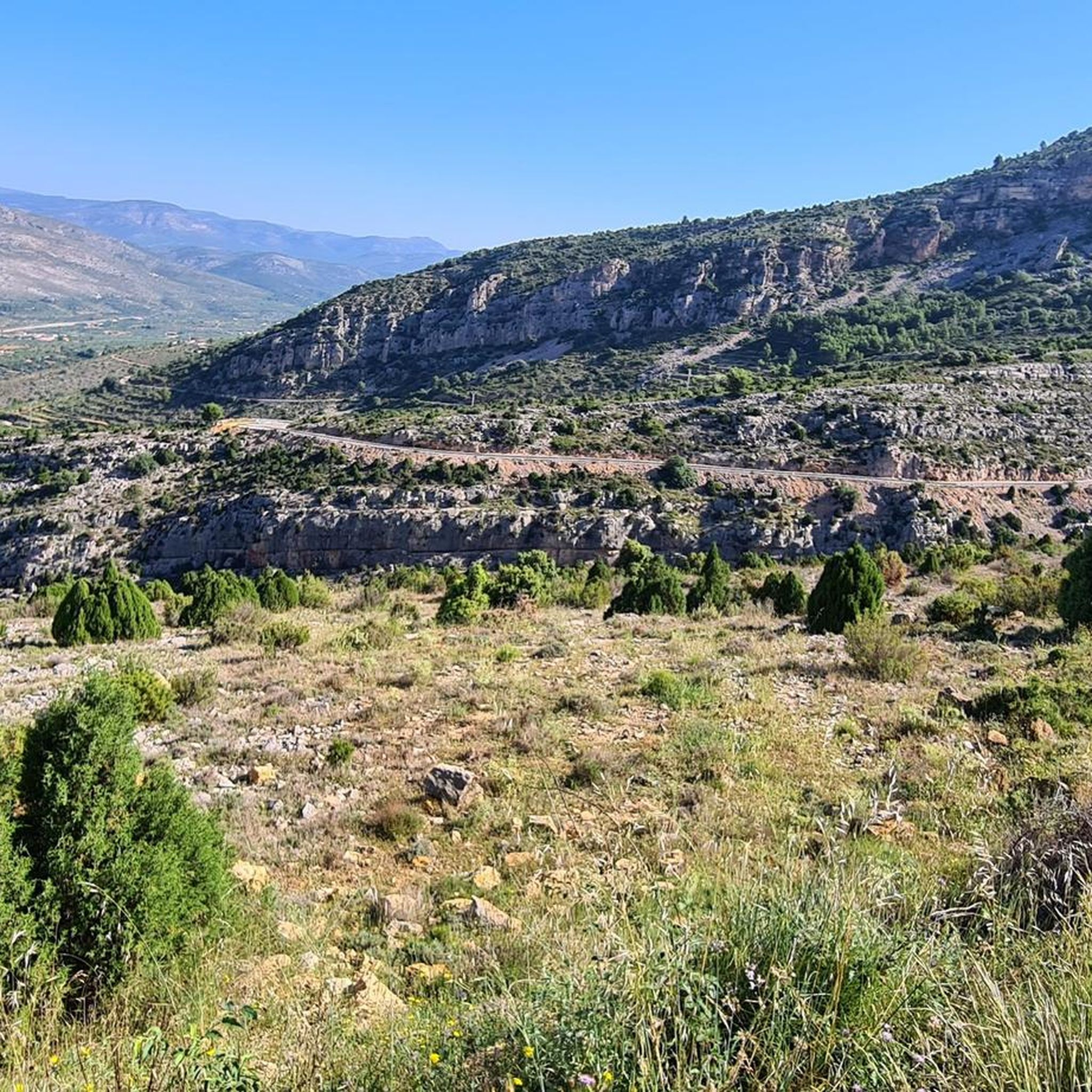
One of the most picturesque ports in the Plana Alta. Very beautiful landscapes rolling on asphalt in perfect condition and practically without traffic. It is short but intense and depending on where you attack it from, the slopes will be more abrupt.
3
0

Nice port. Nonexistent traffic. Good asphalt. The southern slope is the easiest
1
1

Col de la Bandereta. Intense port and enjoy. Few kilometers but intense. Awesome visits.
1
1
Frequently Asked Questions
How many running routes are available in Sierra Engarcerán?
There are over 60 running routes around Sierra Engarcerán, offering a wide range of options for all fitness levels. These include 4 easy routes, 34 moderate routes, and 24 difficult routes, ensuring a suitable path for every runner.
What kind of terrain can I expect on the jogging trails in Sierra Engarcerán?
The jogging trails in Sierra Engarcerán are characterized by diverse and rugged mountainous terrain. You'll encounter varied elevations, from the municipality center at 748 meters above sea level, and can expect to run through scenic Valencian oak and pine forests, as well as explore natural formations like gorges.
Are there any easy running routes for beginners or those looking for a less challenging run?
Yes, Sierra Engarcerán offers 4 easy running routes. For a moderate option that's not too long, consider the Vall d'Alba loop from la Vall d'Alba, which is 7.7 km and takes about 56 minutes to complete.
What are some notable natural features or viewpoints I might encounter on a run?
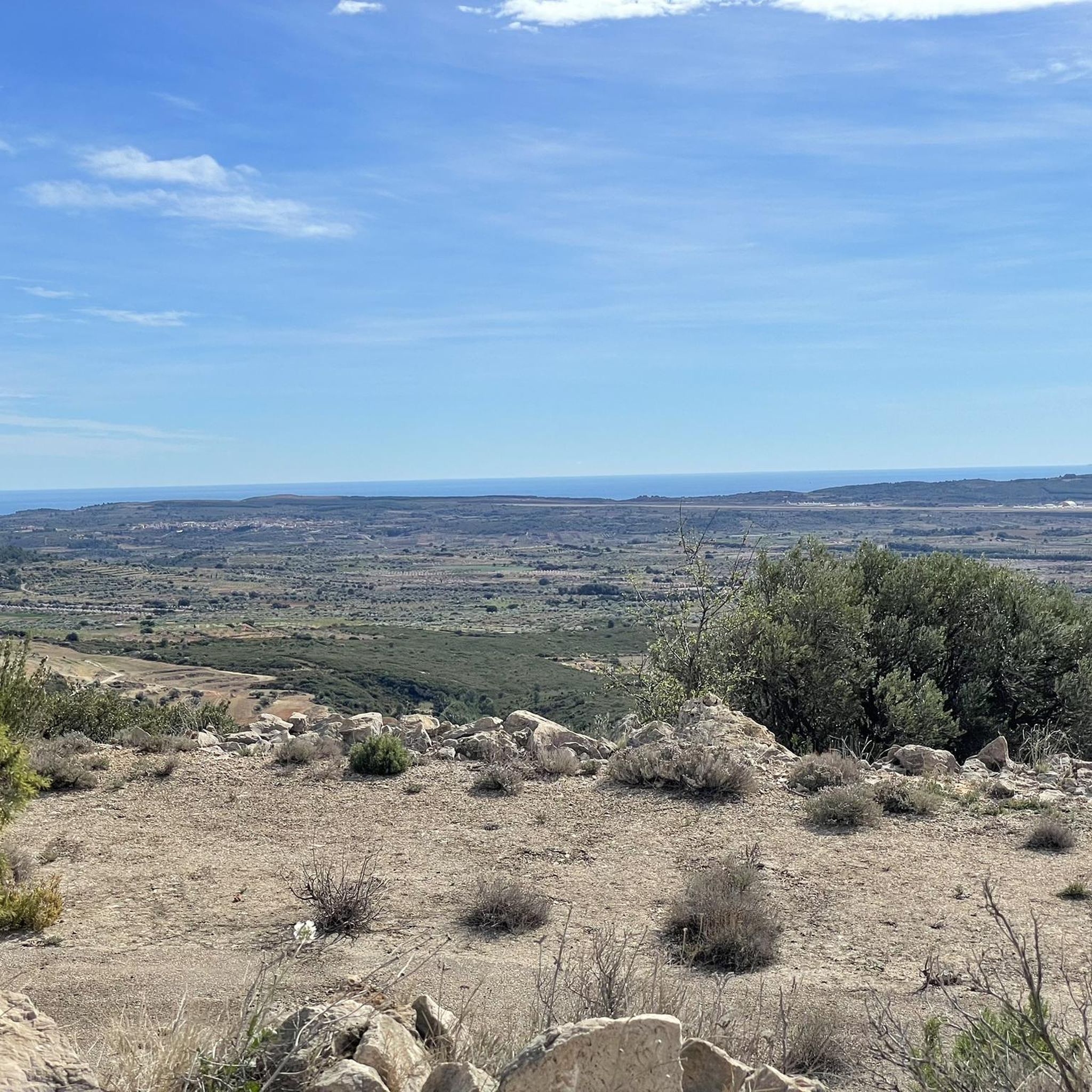
Many routes offer stunning panoramic views over the La Plana region, and on clear days, you might even spot the Columbretes Islands. You can also find natural formations like the surprising Cueva Santa or the Barranco de la Guitarra, known for its rock art, which is a UNESCO World Heritage site. The Coll de la Bandereta is a prominent mountain pass offering great vistas.
Are there any historical landmarks or attractions along the running paths?
Absolutely. Sierra Engarcerán is rich in history. You might pass by archaeological sites like Tosal de la Vila, ancient settlements, or historical structures within the village itself, such as the Muslim castle, the Gothic Valencian-style Palacio Casalduch, or the Baroque Church of San Bartolomé. The Arch of Cabanes is another significant historical site nearby.
What do other runners say about the trails in Sierra Engarcerán?
The running routes in Sierra Engarcerán are highly rated by the komoot community, with an average score of 5.0 stars. Over 400 runners have used komoot to explore the varied terrain, often praising the dynamic and engaging nature of the paths and the beautiful natural surroundings.
Are there any loop trails available for running?
Yes, many of the routes in Sierra Engarcerán are loops, which are great for running as they bring you back to your starting point. An example is the Bassa d'en Gil loop from Vilanova d'Alcolea, a moderate 8.7 km trail.
What is the best time of year to go running in Sierra Engarcerán?
Sierra Engarcerán benefits from a temperate and pleasant climate throughout much of the year, thanks to the tall mountains sheltering it from northern winds. This makes it conducive to outdoor activities like running across various seasons, though spring and autumn often offer the most comfortable temperatures.
Are there any longer, more challenging running routes for experienced trail runners?
For experienced trail runners seeking a challenge, Sierra Engarcerán offers several difficult routes. The Bassot del Mas de Penya – Bassa de la Fàbrica loop from Maset de Vicent is a demanding 11.9 km route with significant elevation changes, perfect for pushing your limits.
Can I find shaded paths for running during warmer periods?
Yes, the region boasts extensive Valencian oak forests and pine forests, such as those found around the Mola de la Vila. These areas provide shaded and scenic paths, offering a welcome respite during warmer days and enhancing the overall running experience.
What kind of elevation changes should I expect on the running trails?
The trails feature dynamic and engaging elevation changes due to the mountainous terrain. Routes can range from moderate paths with gentle inclines to more challenging trails with significant ascents and descents, such as the Bassot del Mas de Penya – Bassa de l'Argila loop from Sierra Engarcerán, which has over 860 meters of elevation gain.
Most popular routes around Sierra Engarcerán
Most popular attractions around Sierra Engarcerán

Get inspired with the komoot mobile app


Explore more
Browse the best Running Trails & Routes in other regions.
