The best walks and hikes around Montellà I Martinet
4.7
(93)
1,117
hikers
20
hikes
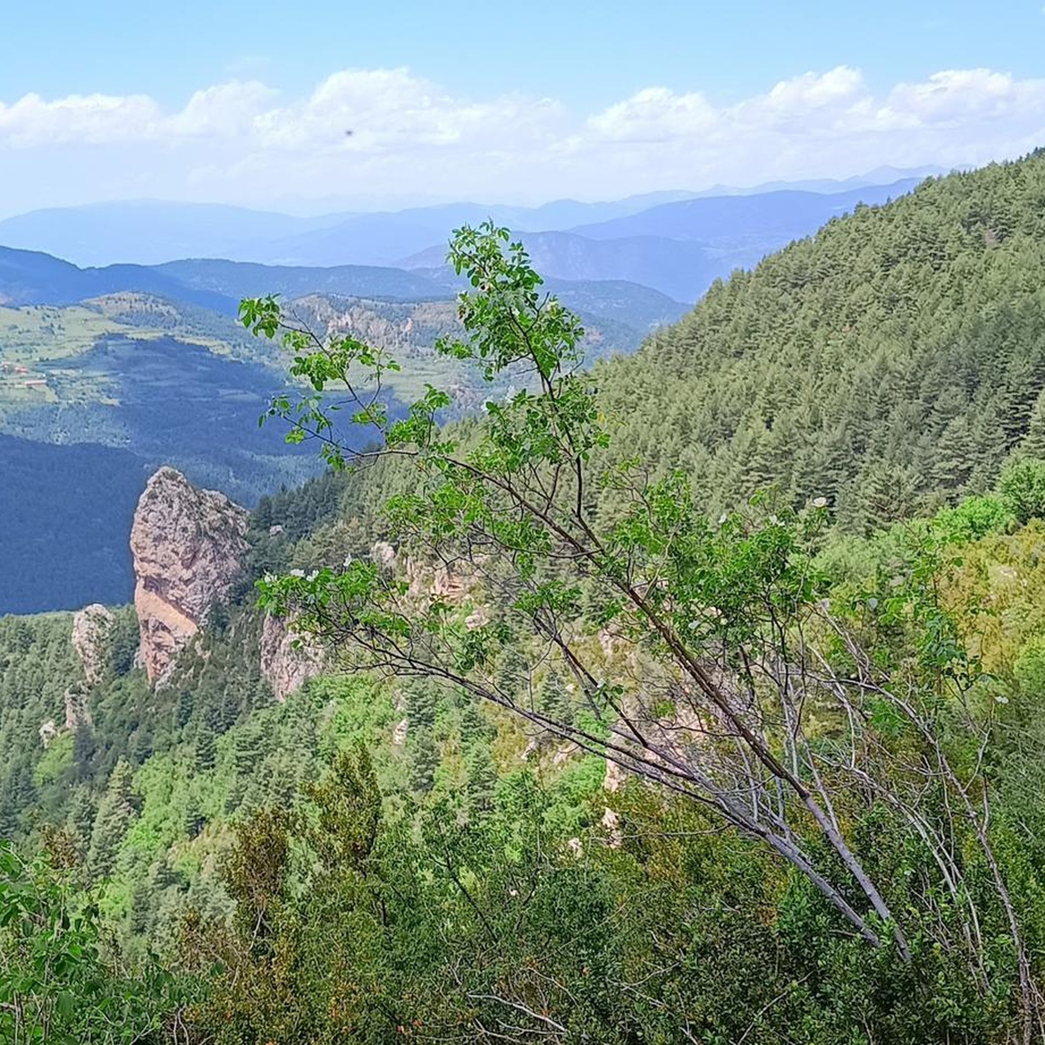
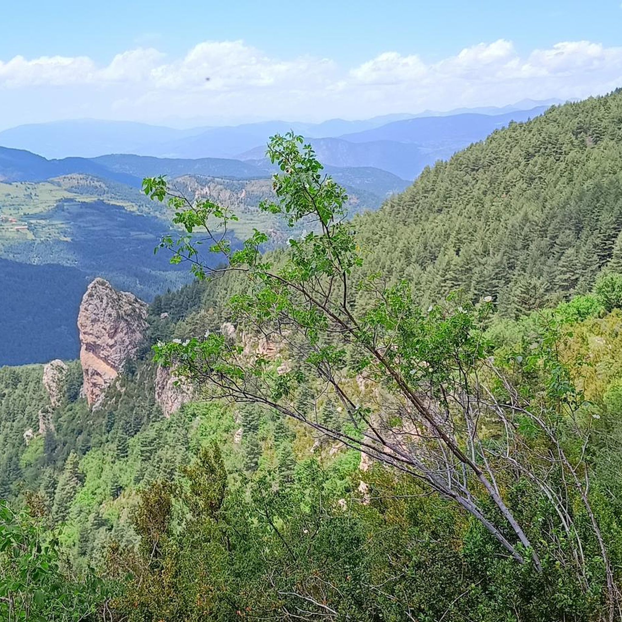
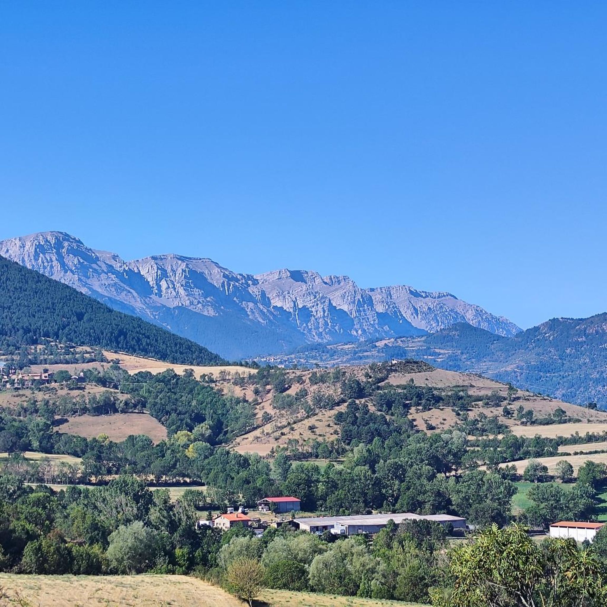
Hiking around Montellà I Martinet provides access to the Cadí-Moixeró Natural Park, featuring prominent limestone massifs, alpine meadows, and dense forests. The landscape includes varied terrain, from valley paths along the Segre River to ascents towards mountain passes and summits. This area of the Cerdanya valley offers diverse hiking trails suitable for various experience levels.
Best hiking trails around Montellà I Martinet
- The most popular hiking route is Prat de Cadí – Cadí Meadow (1,880 m) loop from Estana, a 4.8 miles (7.7 km) trail that takes 3 hours to complete. This moderate route leads through alpine meadows with views of the Cadí mountains.
- Another top favourite among local hikers is Cadí Meadow (1,880 m) – Prat de Cadí loop from Montellà i Martinet, a moderate 8.2 miles (13.2 km) path. This trail offers extended views across the valley and into the Cadí range.
- Local hikers also love the Estana (1,570 m) – Pla de l'Àliga loop from Estana, a 3.2 miles (5.0 km) trail leading through forest and open plains, often completed in about 1 hour 25 minutes.
- Hiking around Montellà I Martinet is defined by alpine meadows, mountain passes, and forested valleys. The network of hiking trails offers options for easy family friendly hikes as well as more challenging ascents.
- The routes in Montellà I Martinet are highly rated by the komoot community with an average score of 4.7 stars from over 90 reviews. More than 1000 hikers have used komoot to explore Montellà I Martinet's varied terrain.
Last updated: July 15, 2026
4.7
(30)
498
hikers
7.71km
03:01
360m
360m
Moderate hike. Good fitness required. Mostly accessible paths. Sure-footedness required.
4.7
(16)
71
hikers
13.4km
04:45
670m
660m
Moderate hike. Good fitness required. Mostly accessible paths. Sure-footedness required.

Sign up for free
4.9
(7)
54
hikers
5.09km
01:26
100m
100m
Easy hike. Great for any fitness level. Easily-accessible paths. Suitable for all skill levels.
4.7
(3)
63
hikers
9.86km
05:00
990m
990m
Hard hike. Very good fitness required. Mostly accessible paths. Sure-footedness required.
5.0
(2)
45
hikers
7.87km
03:49
590m
590m
Moderate hike. Good fitness required. Mostly accessible paths. Sure-footedness required.
Get access to more routes and recommendations from other explorers.
Sign up for free
Already have an account?
Our route recommendations are based on thousands of hikes, rides, and runs completed by other people on komoot.
Start today with a free account
Your next adventure awaits.
Login or Signup
Popular around Montellà I Martinet

Other adventures around Montellà I Martinet

Tips from the Community

Located in one of the most beautiful corners of the Cadí mountain range, on the northern slope of the spectacular Pas dels Gosolans, the Prat de Aguiló refuge was inaugurated in 1976. It is part of the popular Cavalls del Vent crossing and the Alta Ruta del Cadí, which run through all the refuges in the Cadí Natural Park.
0
0
Pass from which you can climb to Prat de Cadí via a 3km trail with about 400m of elevation gain.
0
0
The trail up to Prat de Cadí is quite stony and demanding, it's about 3.5km from Coll de Pallars.
0
0
Spectacular high-altitude meadow below the north face of the Cadí mountain range. The climb from Coll de Pallars is quite demanding but worth the effort.
0
0


If you want to see what the path from Estana to Prat de Cadí is like https://www.youtube.com/watch?v=sEf1h5Jr-0Y
0
0

The Prat d'Aguiló refuge is one of the key points of the Cavalls de Vent route, in the heart of the Cadí mountain range. It has 42 places, which can be booked with breakfast, half board or full board. It also offers a bar service.
0
0
Frequently Asked Questions
How many hiking trails are available around Montellà I Martinet?
There are over 20 hiking trails in the Montellà I Martinet area. These routes range from easy strolls through alpine meadows to more challenging ascents into the Cadí mountains, offering diverse options for all skill levels.
Are there any easy or family-friendly hikes in Montellà I Martinet?
Yes, Montellà I Martinet offers several easy routes suitable for families. A good option is the Estana (1,570 m) – Pla de l'Àliga loop from Estana, which is an easy 3.2-mile (5.0 km) trail leading through forests and open plains.
What are some challenging hikes in the region?
For those seeking a challenge, the Prat de Cadí – Cadí Meadow (1,880 m) loop from Coll de Pallers is a difficult 6.1-mile (9.8 km) route with significant elevation gain. Another demanding option is the Gosolans Pass – Comabona Summit (2,548 m) loop from Refugi Prat d'Aguiló, which takes you to a high summit.
Are there any circular hiking routes in Montellà I Martinet?
Many of the trails in Montellà I Martinet are circular, allowing you to start and end at the same point. For example, the popular Prat de Cadí – Cadí Meadow (1,880 m) loop from Estana is a moderate 4.8-mile (7.7 km) circular trail offering great views of the Cadí mountains.
What kind of natural attractions or viewpoints can I expect on the trails?
The trails often lead to stunning viewpoints and natural attractions within the Cadí-Moixeró Natural Park. You can find impressive peaks like Penyes Altes del Moixeró and the Comabona Summit (2,548 m). Many routes also traverse alpine meadows, offering panoramic vistas of the Cerdanya valley.
Are there mountain huts or refuges along the hiking paths?
Yes, the region has several mountain huts that can serve as rest stops or overnight stays. Notable refuges include the Prat d'Aguiló Refuge, Lluís Estasen Refuge, and Sant Jordi Refuge. These can be valuable resources, especially on longer treks.
What is the best time of year to go hiking in Montellà I Martinet?
The best time for hiking in Montellà I Martinet is generally from late spring to early autumn (May to October). During these months, the weather is milder, and the trails are typically clear of snow, making for more pleasant conditions. Autumn also offers beautiful fall foliage.
What are the winter hiking conditions like in Montellà I Martinet?
Winter hiking in Montellà I Martinet can be challenging due to snow and ice, especially at higher elevations. Some trails may require snowshoes or other specialized equipment. Lower valley paths might still be accessible, but always check local conditions and forecasts before heading out.
What do other hikers enjoy most about hiking in Montellà I Martinet?
The area is highly rated by the komoot community, with an average score of 4.7 stars from over 90 reviews. Hikers often praise the stunning views of the Cadí mountains, the diverse landscapes ranging from forests to alpine meadows, and the well-maintained trails that cater to various experience levels.
Is public transport available to reach hiking trailheads?
While public transport options might be limited directly to all trailheads, local bus services connect Montellà I Martinet with larger towns in the Cerdanya valley. From there, you may need to arrange for a taxi or walk to reach specific starting points. Planning ahead is recommended.
Are there good parking options near the trailheads?
Many popular trailheads, especially those starting from villages like Estana or Montellà i Martinet, offer designated parking areas. However, during peak season, these can fill up quickly, so it's advisable to arrive early or consider alternative starting points if possible.
Can I bring my dog on the hiking trails in Montellà I Martinet?
Generally, dogs are welcome on most hiking trails in the Montellà I Martinet area, especially within the Cadí-Moixeró Natural Park. However, it's crucial to keep them on a leash to protect local wildlife and livestock, and to always clean up after them. Check specific trail regulations if you plan to enter protected zones.
Most popular routes around Montellà I Martinet
Most popular attractions around Montellà I Martinet

Get inspired with the komoot mobile app


Explore more
Browse the best Hikes in other regions.
