The best walks and hikes around Bienservida
4.6
(153)
1,109
hikers
46
hikes
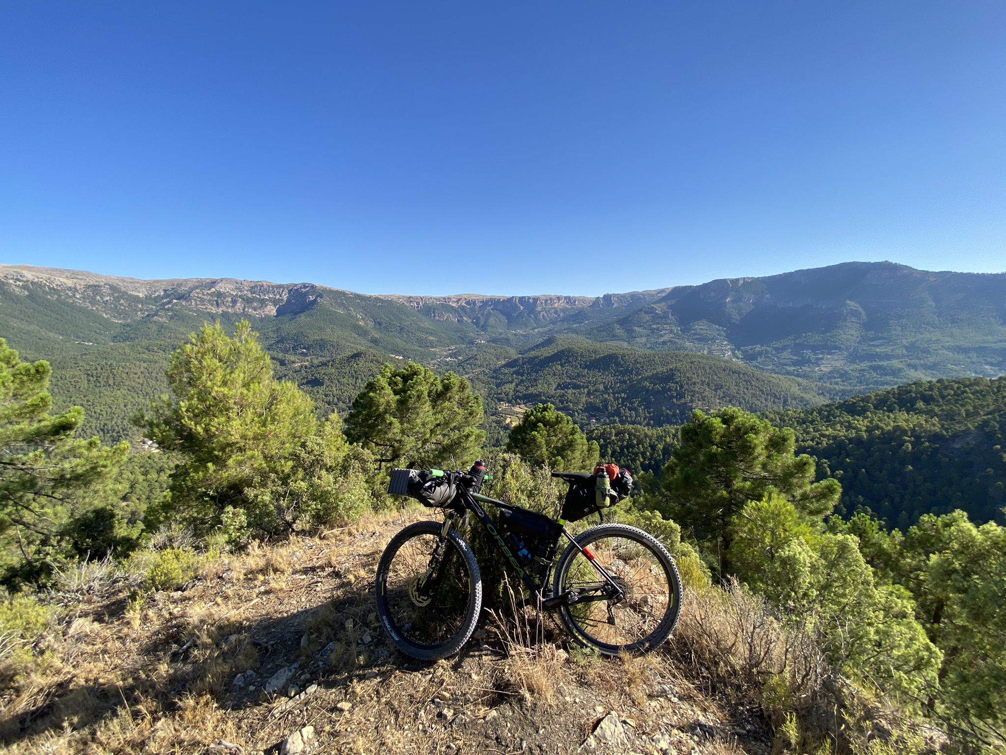
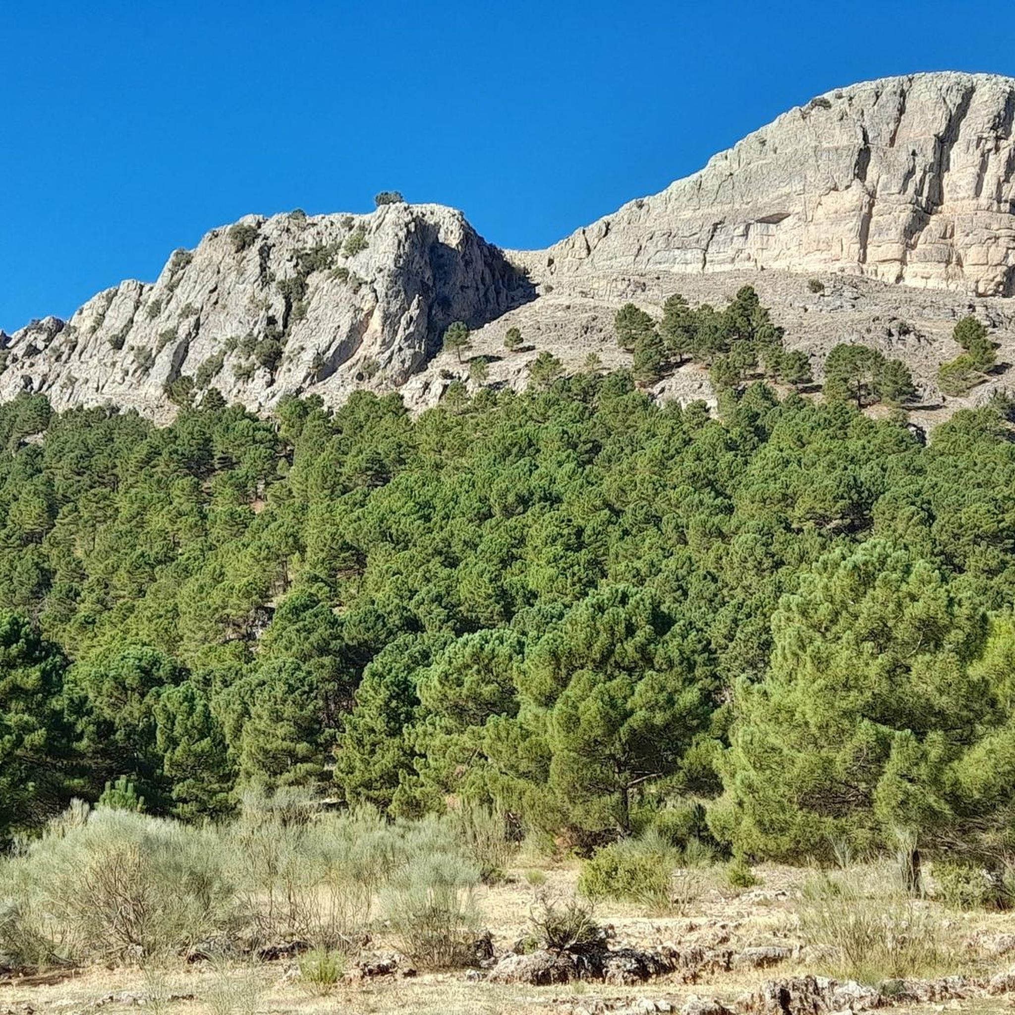
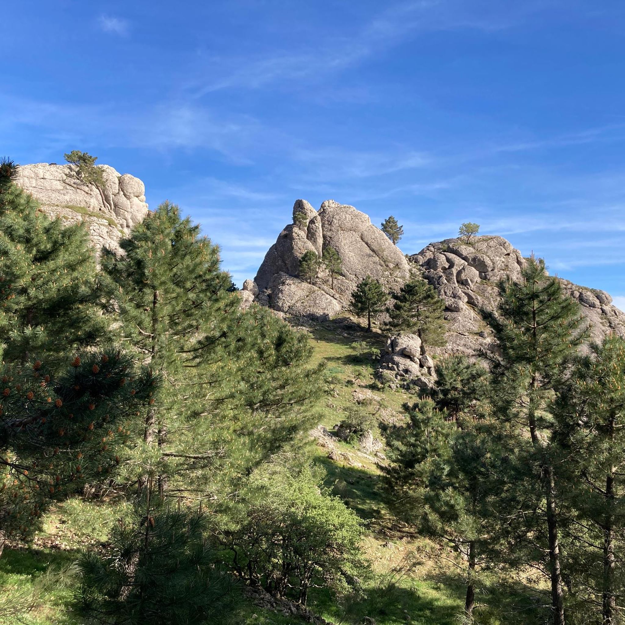
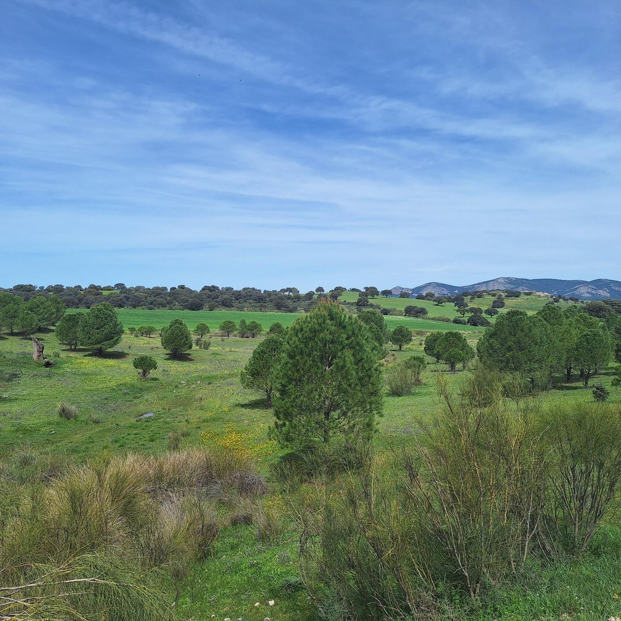
Hiking around Bienservida offers diverse landscapes within the province of Albacete, Spain, serving as a gateway to the Sierra de Alcaraz mountain range. The region features reforested pine forests at elevations between 1,000 and 1,600 meters, transitioning to low scrub near the summits. Small, green river valleys with numerous streams and natural pools characterize the lower areas, contributing to the verdant scenery. The terrain includes varied rock types and geological formations, providing a range of hiking experiences.
Best hiking trails around Bienservida
- The most popular hiking route is Sierra Alcaraz, Los Picarazos — circular desde Villaverde de Guadalimar, a 9.8 miles (15.7 km) trail that takes 5 hours 1 minute to complete. This difficult route offers challenging terrain and panoramic views of the Sierra de Alcaraz.
- Another top favourite among local hikers is Birth of the Turruchel River — circular from Bienservida, a moderate 10.0 miles (16.1 km) path. This trail follows the verdant course of the Turruchel River, known for its natural pools and lush surroundings.
- Local hikers also love the Arroyo del Tejo Spring loop from Villaverde de Guadalimar, a 4.9 miles (7.9 km) trail leading through varied landscapes to the Arroyo del Tejo Spring, often completed in about 2 hours 14 minutes.
- Hiking around Bienservida is defined by Sierra de Alcaraz mountains, reforested pine forests, and serene river valleys. The network offers options for different ability levels, from moderate paths to difficult ascents.
- The routes in Bienservida are highly rated by the komoot community with an average score of 4.5 stars from over 90 reviews. More than 700 hikers have used komoot to explore Bienservida's varied terrain.
Last updated: July 5, 2026
5.0
(1)
6
hikers
15.7km
05:01
670m
670m
Hard hike. Very good fitness required. Mostly accessible paths. Sure-footedness required.
3.0
(1)
5
hikers
16.1km
04:49
490m
490m
Moderate hike. Good fitness required. Mostly accessible paths. Sure-footedness required.

Sign up for free
4.5
(2)
18
hikers
8.08km
02:18
180m
180m
Moderate hike. Good fitness required. Easily-accessible paths. Suitable for all skill levels.
5.0
(1)
12
hikers
15.4km
05:34
930m
930m
Hard hike. Very good fitness required. Easily-accessible paths. Suitable for all skill levels.
5.0
(1)
10
hikers
17.2km
06:06
980m
970m
Hard hike. Very good fitness required. Easily-accessible paths. Suitable for all skill levels.
Get access to more routes and recommendations from other explorers.
Sign up for free
Already have an account?
Our route recommendations are based on thousands of hikes, rides, and runs completed by other people on komoot.
Start today with a free account
Your next adventure awaits.
Login or Signup
Other adventures around Bienservida

Tips from the Community

Well marked trail except for about 500m that you have to create your own path. But in general a highly recommended route.
0
0

The rich landscape of this municipality, and its plant heritage, make it one of the most interesting for nature lovers, who can lose themselves among the streams and creeks that run through its area, such as the Arroyo de Fuente del Tejo, or climb the Picos de La Sagra and El Padrón, from where they can delight in the view of the entire Guadalimar Valley.
1
0
The Cross of the Fallen in Villaverde de Guadalimar is a monument that evokes the memory of those who lost their lives in war conflicts. This cross, located in the town of Villaverde de Guadalimar, has an imposing height of 150 meters, with arms of 24 meters each. In fact, it is crowned the highest cross in the world.
2
0

Nice place to meet a mountain goat 😂👌
0
0
Only for experienced hikers with a safe gait at heights. Great challenge, gives a bit of a thrill.
0
0

Villaverde de Guadalimar is a good starting point for your adventure through the Los Calares del Mundo and La Sima natural park. Spectacular views of the exposed rock at La Peña del Cambrón.
1
1

Known for its crystal clear and fresh water, and it is surrounded by a wooded environment of pines and holm oaks.
2
0
A quiet and picturesque place, with an interesting historical and cultural heritage. It has a privileged natural environment, with a great diversity of landscapes and protected areas.
2
0
Frequently Asked Questions
How many hiking trails are there in Bienservida?
Bienservida offers over 30 hiking routes, catering to various skill levels from easy strolls to challenging mountain ascents. You'll find 5 easy routes, 20 moderate, and 8 difficult trails to explore.
What kind of landscapes can I expect to see while hiking in Bienservida?
Hiking in Bienservida takes you through diverse landscapes, from reforested pine forests at higher elevations (1,000 to 1,600 meters) to low scrub near the summits. You'll also encounter small, verdant river valleys with numerous streams and natural pools, characteristic of the Sierra de Alcaraz region. The area features varied rock types and geological formations, offering a rich visual experience.
Are there any family-friendly hiking options in Bienservida?
Yes, Bienservida offers several easy routes suitable for families. While specific family-focused trails aren't detailed, the region's 5 easy routes provide gentler terrain for a pleasant outing with children. Look for paths with minimal elevation gain and shorter distances.
What are some notable natural attractions or viewpoints along the trails?
The region boasts several natural highlights. You can find the Arroyo del Tejo Spring, a beautiful natural monument. For panoramic views, consider routes that ascend towards Almenara Peak or the general Scenic Landscapes Around Riópar. The Pico de la Sarga, at 1,769 meters, also offers impressive vistas of the Sierra de Alcaraz and beyond.
Are there any circular hiking routes available?
Yes, many routes in Bienservida are circular, allowing you to start and end at the same point. A popular moderate option is the Birth of the Turruchel River — circular from Bienservida, which follows a verdant river course. Another is the Arroyo del Tejo Spring loop from Villaverde de Guadalimar.
What is the best time of year to go hiking in Bienservida?
The Sierra de Alcaraz region, including Bienservida, is generally pleasant for hiking in spring and autumn when temperatures are milder. Summer can be hot, especially at lower elevations, but higher mountain trails offer cooler conditions. Winter hiking is possible, particularly in the reforested pine areas, but be prepared for colder weather and potentially snow at higher altitudes.
What do other hikers enjoy most about hiking in Bienservida?
The area is highly rated by the komoot community, with an average score of 4.5 stars from over 90 reviews. Hikers often praise the diverse terrain, from challenging mountain paths with panoramic views to serene river valleys with lush surroundings. The natural beauty and variety of routes are frequently highlighted.
Are there any historical sites or castles to visit near Bienservida?
Yes, the area around Bienservida has historical significance. You can explore sites like Riópar Viejo or the Castillo de la Yedra Ruins. Further afield, the Keep Tower of Hornos de Segura also offers a glimpse into the region's past.
Is there parking available at the trailheads?
While specific parking details for every trailhead are not provided, Bienservida and nearby villages like Villaverde de Guadalimar, which serve as starting points for many routes, generally offer parking options for hikers. It's advisable to check local signage upon arrival.
Are there any challenging hikes for experienced trekkers?
Absolutely. Bienservida is part of the Sierra de Alcaraz, offering 8 difficult routes for experienced hikers. A prime example is Sierra Alcaraz, Los Picarazos — circular desde Villaverde de Guadalimar, a nearly 16 km trail with significant elevation gain, providing challenging terrain and expansive views.
Can I find trails that lead to viewpoints with extensive vistas?
Many trails in the Sierra de Alcaraz region offer rewarding viewpoints. The Los Picarazos – Solitary Tree on the Plateau loop from Villaverde de Guadalimar, for instance, provides elevated perspectives. The Pico de la Sarga is a well-known peak offering panoramic views of the surrounding mountain ranges and plains.
Are there any trails that follow old railway lines?
Yes, the Green Way (Vía Verde de la Sierra de Alcaraz) is a popular route that follows an old railway line. It's part of the larger Route of Don Quixote and features tunnels, trenches, and terraces, combining natural beauty with historical infrastructure.
Most popular attractions around Bienservida

Get inspired with the komoot mobile app


Explore more
Browse the best Hikes in other regions.
