The best walks and hikes around Sabiñán
4.6
(20)
90
hikers
17
hikes
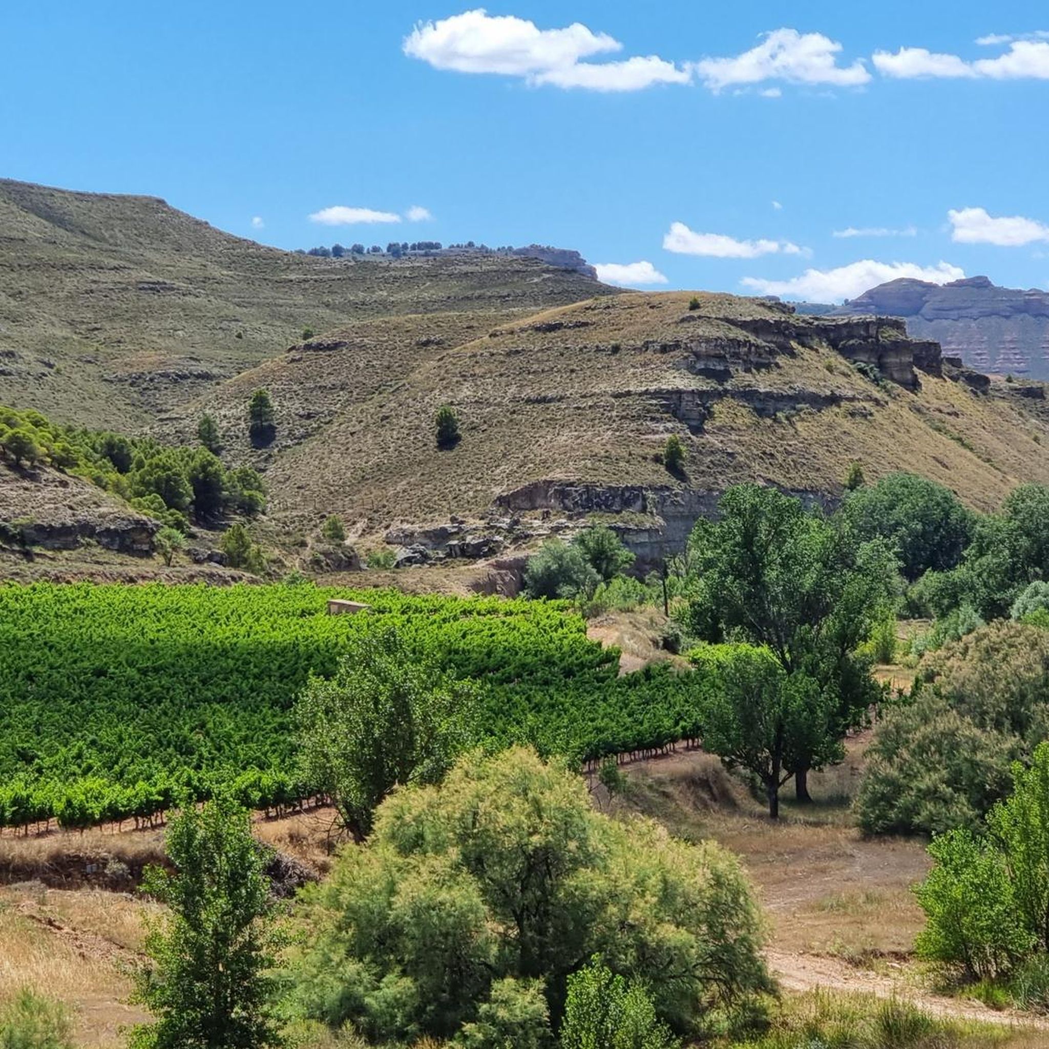
Hiking around Sabiñán provides access to varied landscapes, from flat lands and small hills to rivers and streams within the Saragossa Iberian Mountain Range. The region is part of the broader Aragon area, known for its diverse natural environments including the Ebro River basin and the Iberian System. This setting offers a range of trails for different preferences.
Best hiking trails around Sabiñán
- The most popular hiking route is Meandro de Chodes y Morata de Jalón — circular by the…
Last updated: July 1, 2026
4.7
(11)
16
hikers
7.07km
01:57
120m
110m
Easy hike. Great for any fitness level. Easily-accessible paths. Suitable for all skill levels.
5
hikers
19.9km
06:20
830m
830m
Hard hike. Very good fitness required. Easily-accessible paths. Suitable for all skill levels.

Sign up for free
1
hikers
19.2km
06:21
880m
880m
Hard hike. Very good fitness required. Easily-accessible paths. Suitable for all skill levels.
4
hikers
17.4km
05:20
630m
630m
Hard hike. Very good fitness required. Easily-accessible paths. Suitable for all skill levels.
5.0
(1)
8
hikers
2.98km
00:51
70m
70m
Easy hike. Great for any fitness level. Easily-accessible paths. Suitable for all skill levels.
Get access to more routes and recommendations from other explorers.
Sign up for free
Already have an account?
Our route recommendations are based on thousands of hikes, rides, and runs completed by other people on komoot.
Start today with a free account
Your next adventure awaits.
Login or Signup


Tips from the Community

There is also a fountain, but we found it without water. We had to continue down to the village.
0
0
Be careful with the fountain, when we passed by there wasn't even a drop coming out. So it's better not to depend on this point to refill water, as happened to us.
0
1

It is the highest point for many kilometers in the surrounding area (next to Pico de la Nevera, which cannot be accessed because it is a military installation). In summer there are fire surveillance personnel because it is a place with impressive views.
0
0

The Capurnos Bridge was built in the 17th century in order to join the towns of Morata de Jalón and Chodes by crossing the waters of the Jalón River.
1
0

From this point we have a beautiful picture of the imposing Castle of Mesones de Isuela controlling the town from the top of the rocky hill. Guided tours inside the castle can be booked at the tourist office of the Aranda region
1
0
Or refuge of Inogés, it is a free refuge in quite good conditions. We must take them into account in case we had to take shelter there from a good storm
1
0
The El Frasno refuge is ideal for stopping and recovering energy since we will find a picnic area and a public fountain.
0
1
We are at the Pico del Rayo, the highest peak of the Sierra de Victor at 1427 masl with magnificent views of the Iberian System and Moncayo.
0
0
Frequently Asked Questions
What kind of terrain can I expect on hikes around Sabiñán?
The Sabiñán area offers diverse landscapes, ranging from flat lands and small hills to river valleys and the more rugged terrain of the Saragossa Iberian Mountain Range. You can find gentle walks along rivers, as well as more challenging routes with significant elevation changes in the surrounding mountains.
Are there any easy hiking trails suitable for beginners or families?
Yes, Sabiñán offers easy trails perfect for beginners or families. A notable option is the Meandro de Chodes y Morata de Jalón — circular by the Jalón river, which is an accessible 4.4-mile (7.1 km) route following the Jalón river.
What are some challenging hikes around Sabiñán for experienced hikers?
For experienced hikers seeking a challenge, the region provides several demanding routes. Consider the Pico del Rayo - Sierra de Vicor Loop, a difficult 12.3-mile (19.9 km) path with significant elevation gain. Another challenging option is the Pico Cabrera from Sestrica — circular via the Sierra de la Virgen, which is 11.9 miles (19.2 km) long.
Are there any circular hiking routes in the Sabiñán area?
Yes, there are several circular routes available. The Meandro de Chodes y Morata de Jalón — circular by the Jalón river is an easy circular path. For more challenging options, consider the Pico del Rayo - Sierra de Vicor Loop or the Pico Cabrera from Sestrica — circular via the Sierra de la Virgen.
What natural features or landmarks can I see while hiking near Sabiñán?
The region is part of the Ebro River basin and the Iberian System, offering varied natural beauty. You can encounter river meanders and diverse landscapes. Nearby, the Monasterio de Piedra natural park features the impressive La Caprichosa Waterfall. Within the immediate hiking area, you might encounter landmarks like the Capurnos Bridge or a Scenic Road Through a Gorge.
Are there any mountain peaks accessible for hiking around Sabiñán?
Yes, the Saragossa Iberian Mountain Range offers several peaks. Hikers can aim for summits such as Pico del Rayo, Pico Cabrera (1,433 m) – Sierra de la Virgen, Pico del Cerro del Águila, and Pico Mingoaranda.
What do other hikers enjoy most about the trails in Sabiñán?
The trails around Sabiñán are highly rated by the komoot community, with an average score of 4.7 stars from over 17 reviews. Hikers often praise the varied terrain, which includes both gentle river walks and more challenging mountain paths, catering to a wide range of abilities.
How many hiking trails are available in the Sabiñán area?
There are over 10 hiking routes available around Sabiñán, offering a good selection for different preferences and fitness levels. These include 2 easy, 7 moderate, and 3 difficult trails.
Is there public transport access to trailheads around Sabiñán?
While the region promotes hiking, specific public transport options directly to all trailheads in Sabiñán can be limited due to its rural setting. It's generally advisable to plan for personal transport or check local bus schedules for connections to nearby towns that might serve as starting points.
Are there any historical or cultural points of interest near the hiking routes?
Yes, beyond natural beauty, the region has cultural significance. For instance, the historic Piedra Monastery is within reach. Closer to some routes, you can find the Plaza de España and Church of Santa Ana in Morata de Jalón, offering a glimpse into local heritage.
What is the best time of year to go hiking in Sabiñán?
The Aragon region, where Sabiñán is located, experiences diverse weather. Spring and autumn generally offer the most pleasant conditions for hiking, with milder temperatures and beautiful scenery. Summer can be hot, especially in lower elevations, while winter might bring colder temperatures and potentially snow in higher mountain areas like Moncayo Summit.
Most popular attractions around Sabiñán

Get inspired with the komoot mobile app


Explore more
Browse the best Hikes in other regions.
