The best walks and hikes around Brunsbüttel
4.6
(984)
4,559
hikers
71
hikes
Hiking around Brunsbüttel offers diverse experiences along the Kiel Canal and Elbe River. The region is characterized by flat landscapes, extensive dike paths, and maritime features. Trails often provide views of large ships traversing the canal and panoramic vistas across the Elbe. The area includes the Wilstermarsch, known for its low elevation and green areas, providing varied terrain for outdoor activities.
Best hiking trails around Brunsbüttel
- The most popular hiking route is Anchor Monument – Mole 4 Lighthouse loop from…
Last updated: June 26, 2026
4.7
(11)
76
hikers
6.36km
01:36
10m
10m
Easy hike. Great for any fitness level. Easily-accessible paths. Suitable for all skill levels.
4.8
(11)
82
hikers
4.80km
01:13
10m
10m
Easy hike. Great for any fitness level. Easily-accessible paths. Suitable for all skill levels.

Sign up for free
4.7
(13)
66
hikers
7.61km
01:55
10m
10m
Easy hike. Great for any fitness level. Easily-accessible paths. Suitable for all skill levels.
4.9
(12)
66
hikers
4.20km
01:04
10m
10m
Easy hike. Great for any fitness level. Easily-accessible paths. Suitable for all skill levels.
3.9
(8)
40
hikers
9.08km
02:17
10m
10m
Moderate hike. Good fitness required. Easily-accessible paths. Suitable for all skill levels.
Get access to more routes and recommendations from other explorers.
Sign up for free
Already have an account?
Our route recommendations are based on thousands of hikes, rides, and runs completed by other people on komoot.
Start today with a free account
Your next adventure awaits.
Login or Signup
Popular around Brunsbüttel
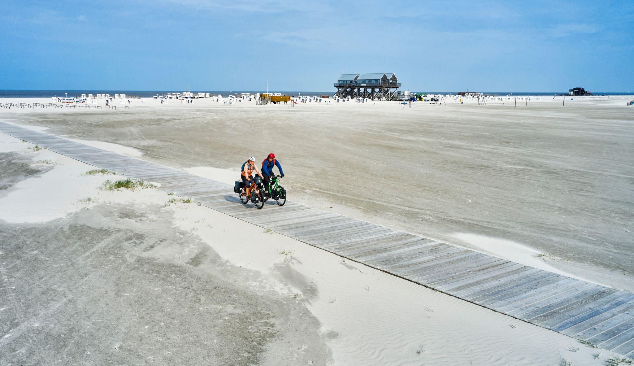
Nine hundred kilometres of pure freedom – North Sea Cycle Route
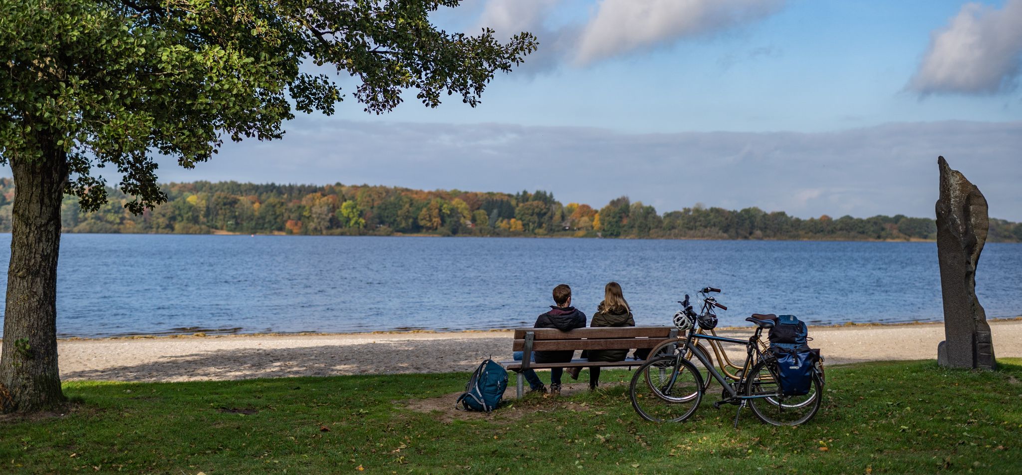
Rides in southern Binnenland — Germany’s Schleswig-Holstein
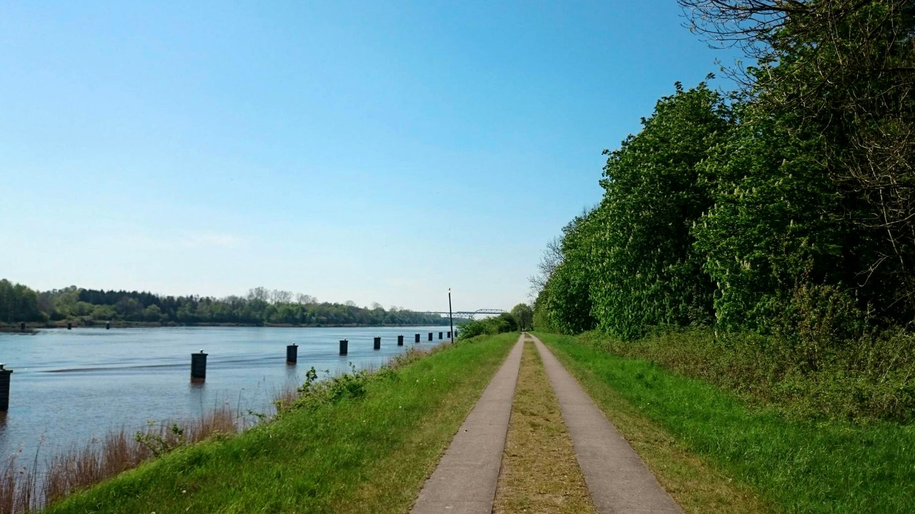
Cycling along picturesque waterways – the Kiel Canal Route
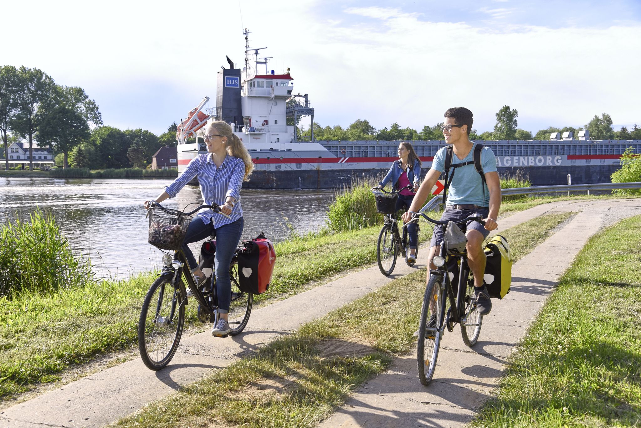
Between the North Sea, Eider and Elbe — Cycling in Dithmarschen
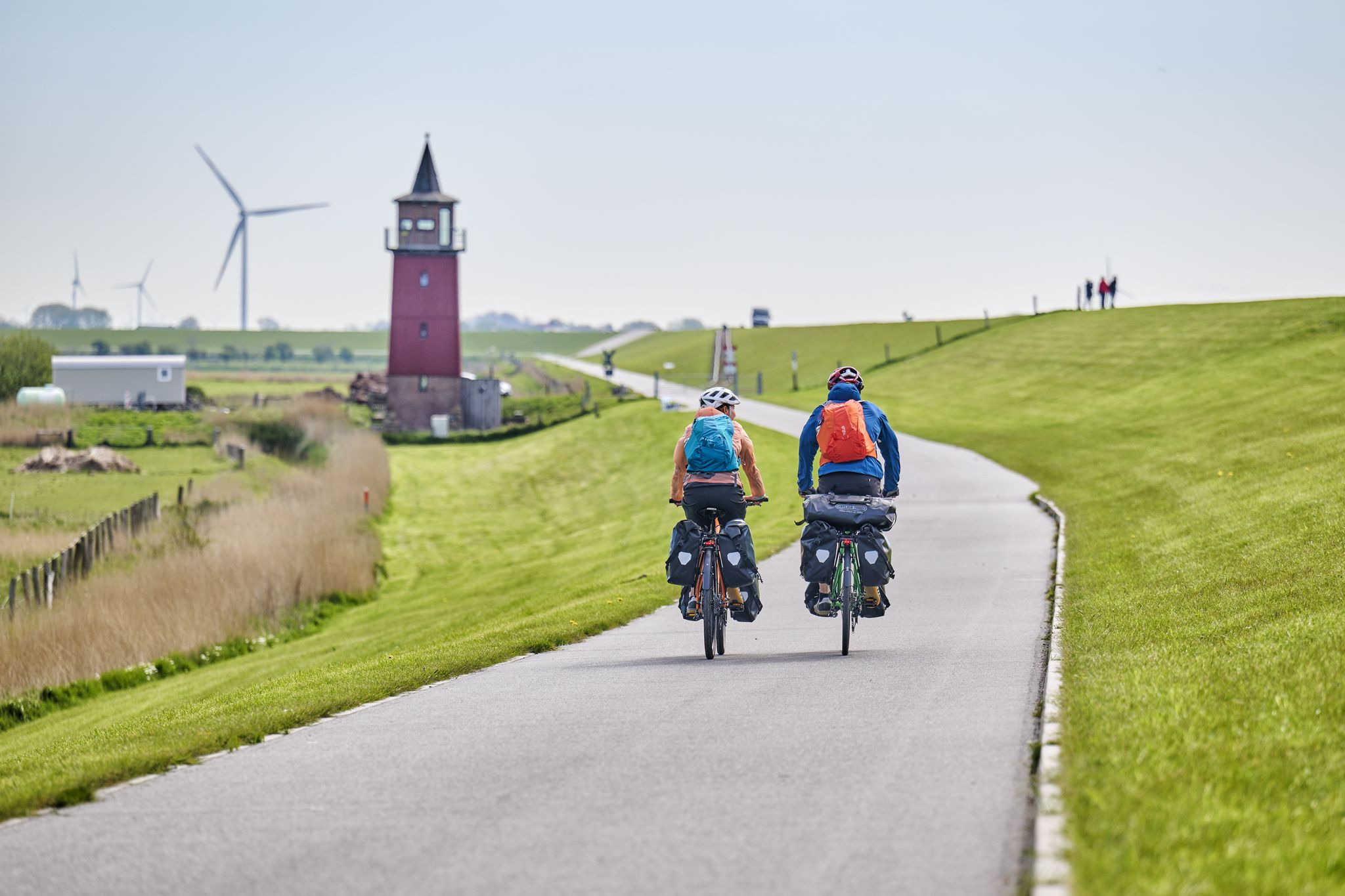
Nordseeküsten-Radweg in Schleswig-Holstein
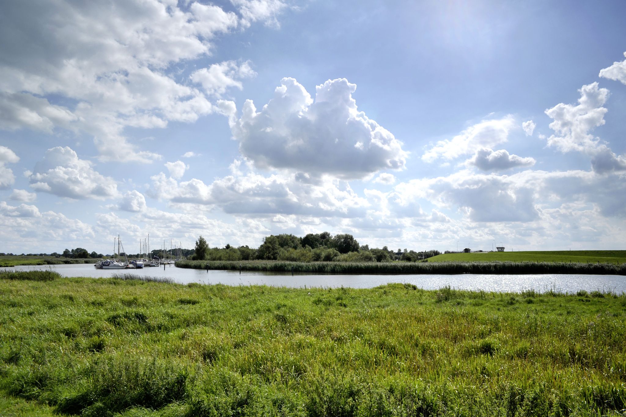
Frühling in Holstein – die schönsten Touren am Wasser entlang
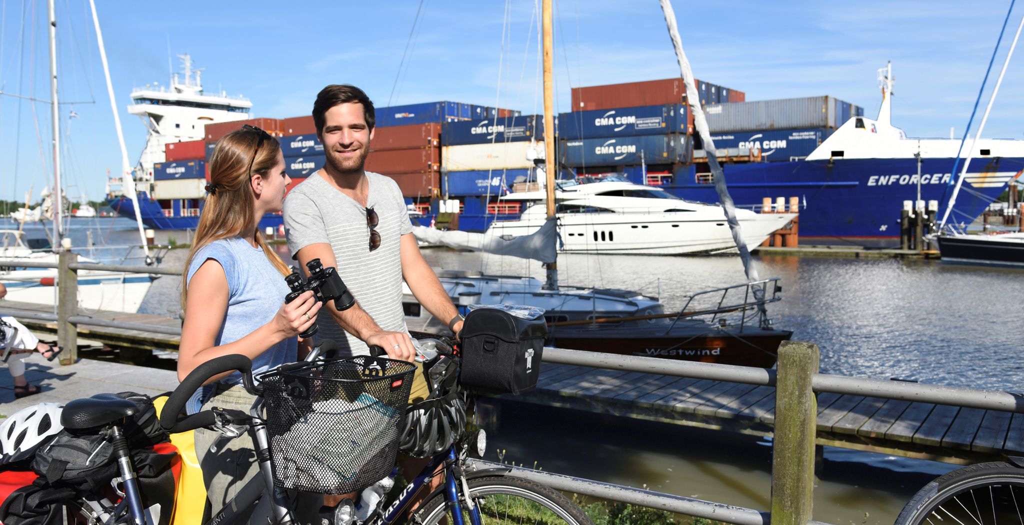
Mini-Radreiseregion Brunsbüttel
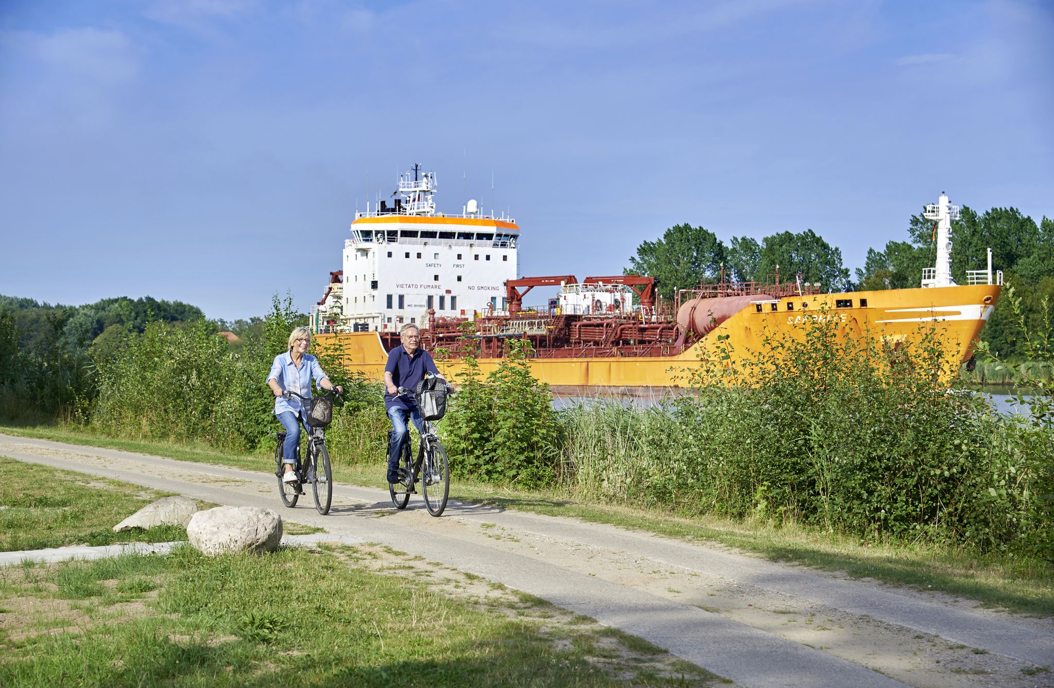
Radfahren im Nordseeland Dithmarschen, Brunsbüttel & Burg
Cycling around Brunsbüttel
Running Trails around Brunsbüttel
Other adventures around Brunsbüttel


Tips from the Community

Brunsbüttel Lock
0
0
Lock/Brunsbüttel
0
0
Brunsbüttel/ Mole4 in rough seas
0
0
Elbblick Richtung Nordsee/Brunsbüttel
0
0
NOKanal-Schleuseneinfahrt/ Brunsbüttel
0
0
Mole 4/Brunsbüttel, is a viewpoint worth seeing of the Elbe and the lock entrance to the Kiel Canal (direction Kiel)
0
0
Frequently Asked Questions
What kind of landscapes can I expect to see while hiking in Brunsbüttel?
Brunsbüttel offers a unique blend of maritime and natural landscapes. You'll find extensive trails along the Kiel Canal, one of the world's busiest waterways, and scenic dikes along the Elbe River with panoramic views. The region also features the green areas of the Wilstermarsch, known for its low elevation, and the unique moor landscape of the Katinger Watt Nature Reserve.
Are there many hiking trails available in Brunsbüttel?
Yes, Brunsbüttel boasts a comprehensive network of trails. There are over 70 hiking routes available, catering to various preferences and fitness levels. The komoot community has explored these trails over 1000 times, highlighting the area's popularity for outdoor activities.
Are there any easy hiking trails suitable for beginners or casual walkers in Brunsbüttel?
Absolutely. The majority of trails in Brunsbüttel are classified as easy, with 54 out of 72 routes falling into this category. These routes are generally flat, making them ideal for beginners or those looking for a relaxed stroll. An example is the Brunsbüttel Ferry Terminal – Brunsbüttel Ferry loop from Brunsbüttel, which is an easy 6.4 km path.
What are some interesting landmarks or attractions I can see along the hiking routes in Brunsbüttel?
Many hiking routes in Brunsbüttel incorporate significant landmarks. You can observe large ships at the impressive Brunsbüttel Locks and the Mole 4 Lighthouse. The historic town center, with its half-timbered houses and the Jakobuskirche church, also offers cultural sights. For nature enthusiasts, the Lowest Point in Germany is a notable natural monument in the nearby Wilstermarsch area.
Are there any circular hiking routes in Brunsbüttel?
Yes, Brunsbüttel offers several engaging circular routes. For instance, the Anchor Monument – Mole 4 Lighthouse loop from Brunsbüttel is a popular easy option, taking you along the Kiel Canal. Another great choice is the Mole 4 Lighthouse – Beckmanns Strandhalle loop from Brunsbüttel, a moderate 7.9 km path connecting key maritime spots.
What do other hikers enjoy the most about hiking in Brunsbüttel?
The area is highly rated by the komoot community, with an average score of 4.6 stars from over 160 reviews. Hikers often praise the unique experience of watching large ships on the Kiel Canal, the panoramic views from the Elbe dikes, and the generally flat, accessible nature of the trails, which makes them enjoyable for various fitness levels.
Can I find trails that offer views of the Kiel Canal and its shipping traffic?
Absolutely. The Kiel Canal is a central feature of hiking in Brunsbüttel. Many trails run directly alongside the canal, offering excellent opportunities to observe large cargo ships up close. The Pier 4 Brunsbüttel – Mole 4 Lighthouse loop from Brunsbüttel is a great example of a route that provides continuous views of this busy waterway.
Are there any nature reserves or special natural areas to explore near Brunsbüttel?
Yes, the region is rich in natural beauty. The Katinger Watt Nature Reserve, with its unique moor landscape and diverse flora and fauna, offers a dedicated circular hiking trail. Additionally, the St. Margarethen Outer Dike Nature Reserve is another significant natural monument nearby, providing opportunities for wildlife spotting and experiencing the local ecosystem.
What is the best time of year to go hiking in Brunsbüttel?
The best seasons for hiking in Brunsbüttel are typically spring and summer, when nature is in full bloom and the climate is mild, making for pleasant conditions. Autumn also offers beautiful colorful foliage, providing a different scenic experience along the trails.
Are there any trails that lead through the historic parts of Brunsbüttel?
While many trails focus on the waterways, some routes do connect with the town's cultural aspects. For example, the Gustav-Meyer-Platz – Mole 4 Lighthouse loop from Brunsbüttel leads through urban areas before reaching the waterfront, allowing you to experience both the town's atmosphere and its maritime attractions.
Are there any trails that offer views of the Elbe River?
Yes, the dikes along the Elbe River provide extensive paths with impressive panoramic views. These dikes are excellent for long walks and offer a different perspective of the region compared to the Kiel Canal trails. While specific Elbe-focused routes are not listed in the top routes, many local paths connect to these scenic dike systems.
Most popular routes around Brunsbüttel
Most popular attractions around Brunsbüttel

Get inspired with the komoot mobile app


Explore more
Browse the best Hikes in other regions.
