Parco naturale regionale delle Dolomiti Friulane
Parco naturale regionale delle Dolomiti Friulane
The best running trails around Parco naturale regionale delle Dolomiti Friulane
3.6
(37)
1,528
runners
12
runs
Jogging routes around Parco naturale regionale delle Dolomiti Friulane traverse a UNESCO World Heritage site known for its wild, pristine landscapes. The region features varied terrain, from gentle paths along valley floors and through serene pine forests to more demanding routes in higher elevations. Characterized by jagged peaks, bold rock towers, and lush green woods, the park also includes the Upper Tagliamento Valley and the spectacular Forra del Cellina canyon. These natural features provide a diverse backdrop for running, offering…
Last updated: September 24, 2026
7
runners
14.7km
03:53
1,480m
1,480m
The Campanile di Val Montanaia loop hike from Rifugio Pordenone offers a challenging journey through the Friulian Dolomites, leading you to a unique 300-meter spire. You will begin with a…
2
runners
30.9km
06:59
2,760m
2,770m
The Monte Pramaggiore loop tour is a difficult alpine route, best suited for experienced hikers due to its demanding terrain and significant elevation changes. This challenging journey covers 19.2 miles…

32
runners
5.91km
01:54
820m
830m
Hard run. Very good fitness required. Sure-footedness, sturdy shoes and alpine experience required.
14
runners
16.7km
02:19
890m
890m
Hard run. Very good fitness required. Mostly paved surfaces. Suitable for all skill levels.
10
runners
12.6km
02:53
1,060m
1,060m
Hard run. Very good fitness required. Sure-footedness, sturdy shoes and alpine experience required.
Get access to more routes and recommendations from other explorers.
Already have an account?
Our route recommendations are based on thousands of hikes, rides, and runs completed by other people on komoot.
Start today with a free account
Your next adventure awaits.
Popular around Parco naturale regionale delle Dolomiti Friulane

A trail running adventure in the Dolomites – Alta Via 6
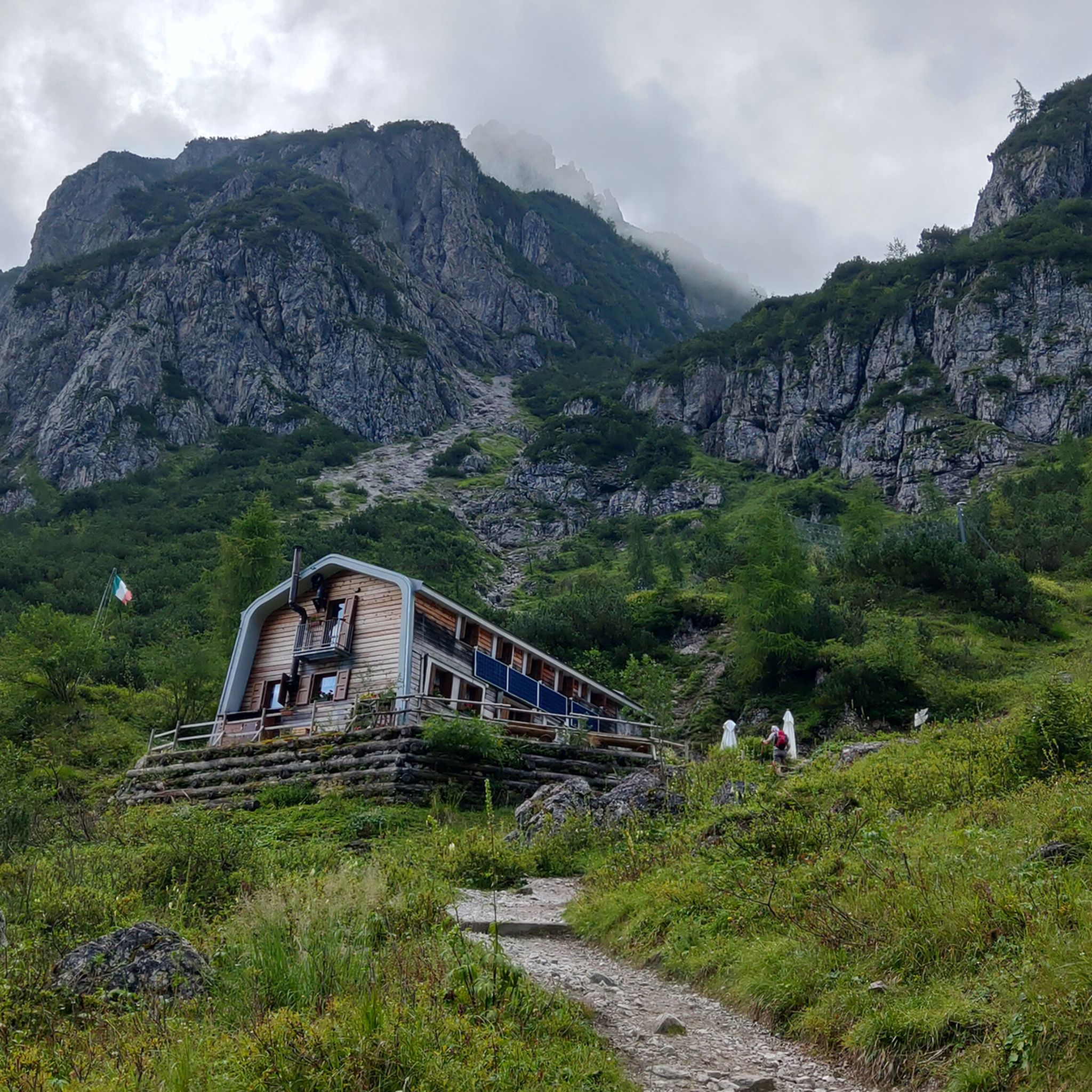
Hiking around Parco naturale regionale delle Dolomiti Friulane
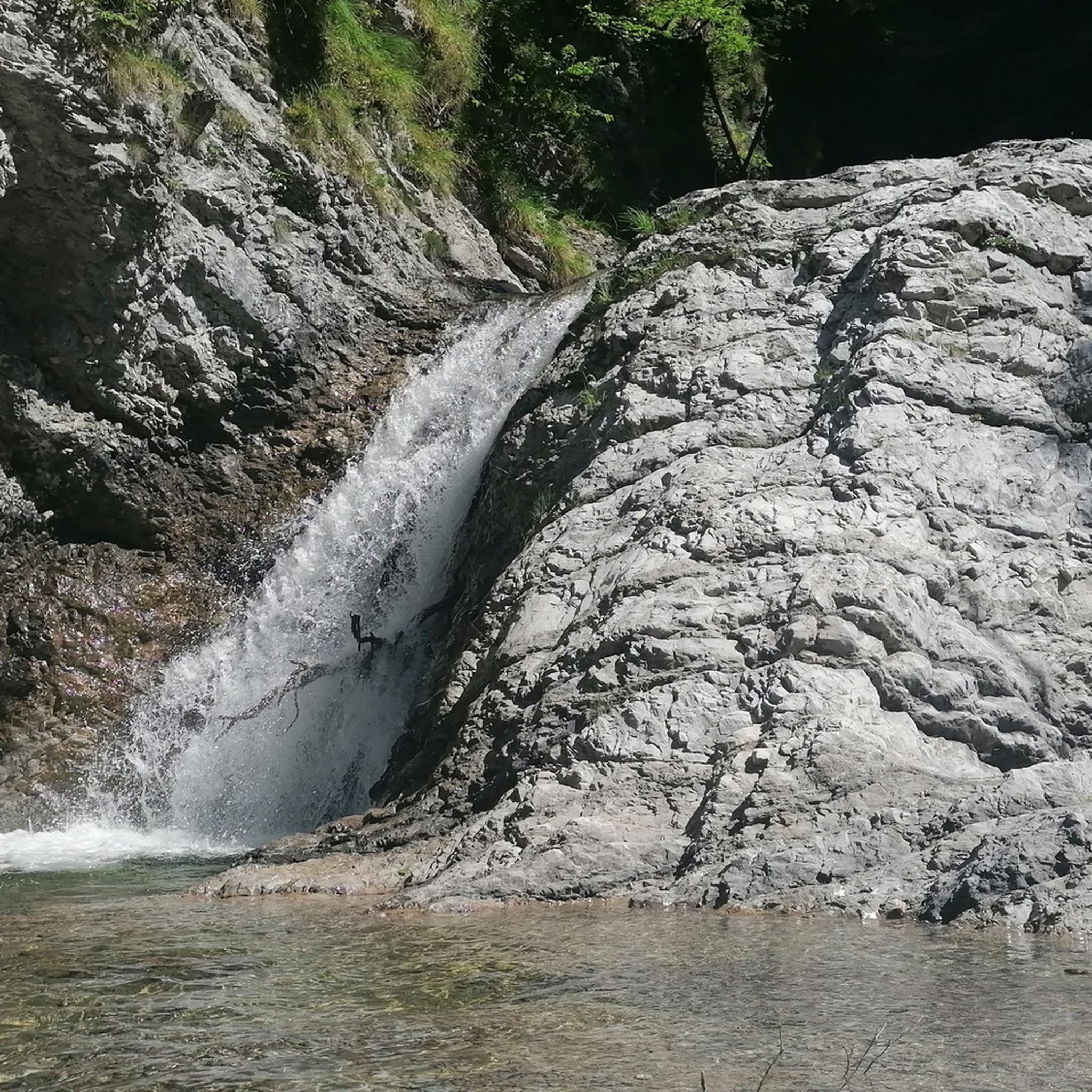
MTB Trails around Parco naturale regionale delle Dolomiti Friulane
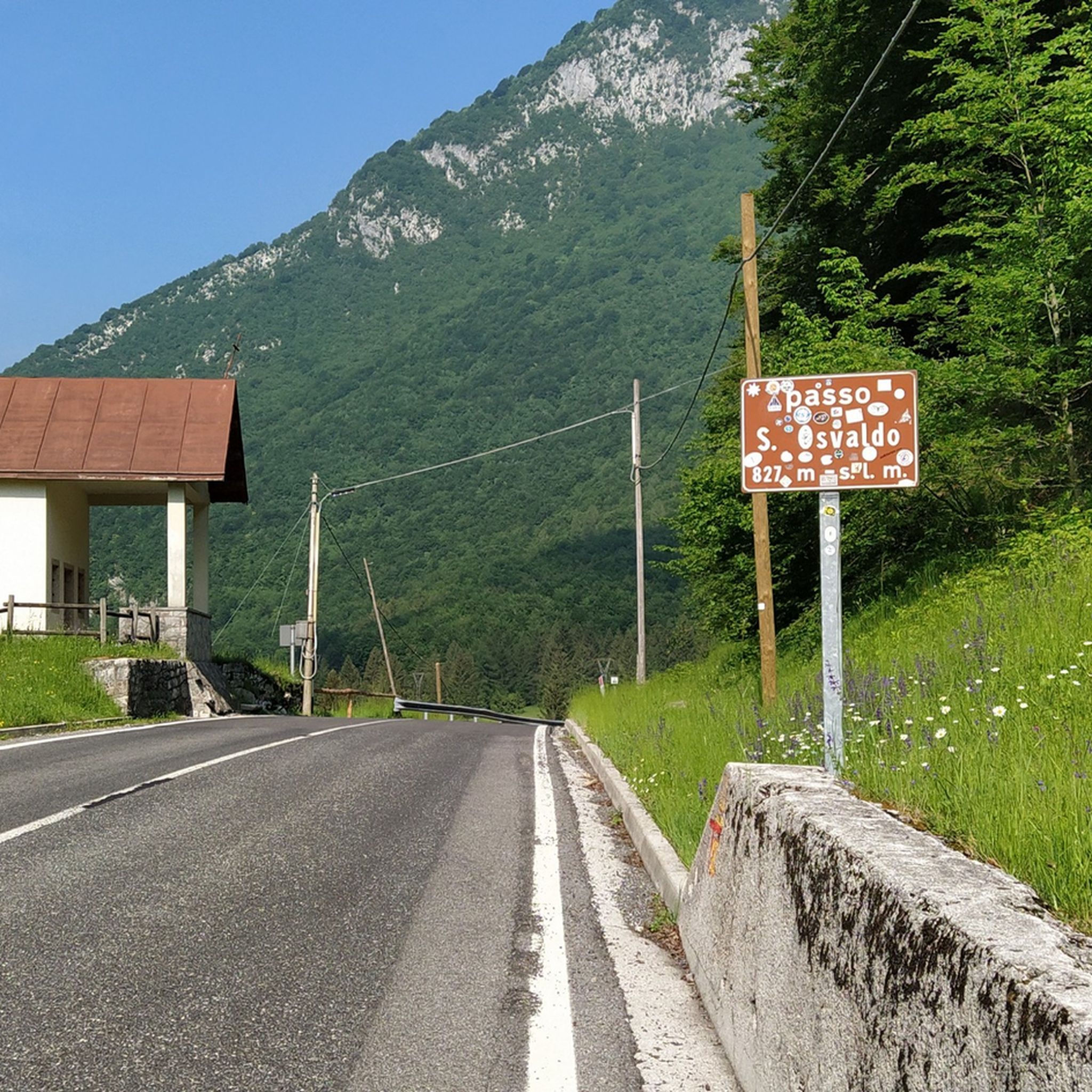
Road Cycling Routes around Parco naturale regionale delle Dolomiti Friulane
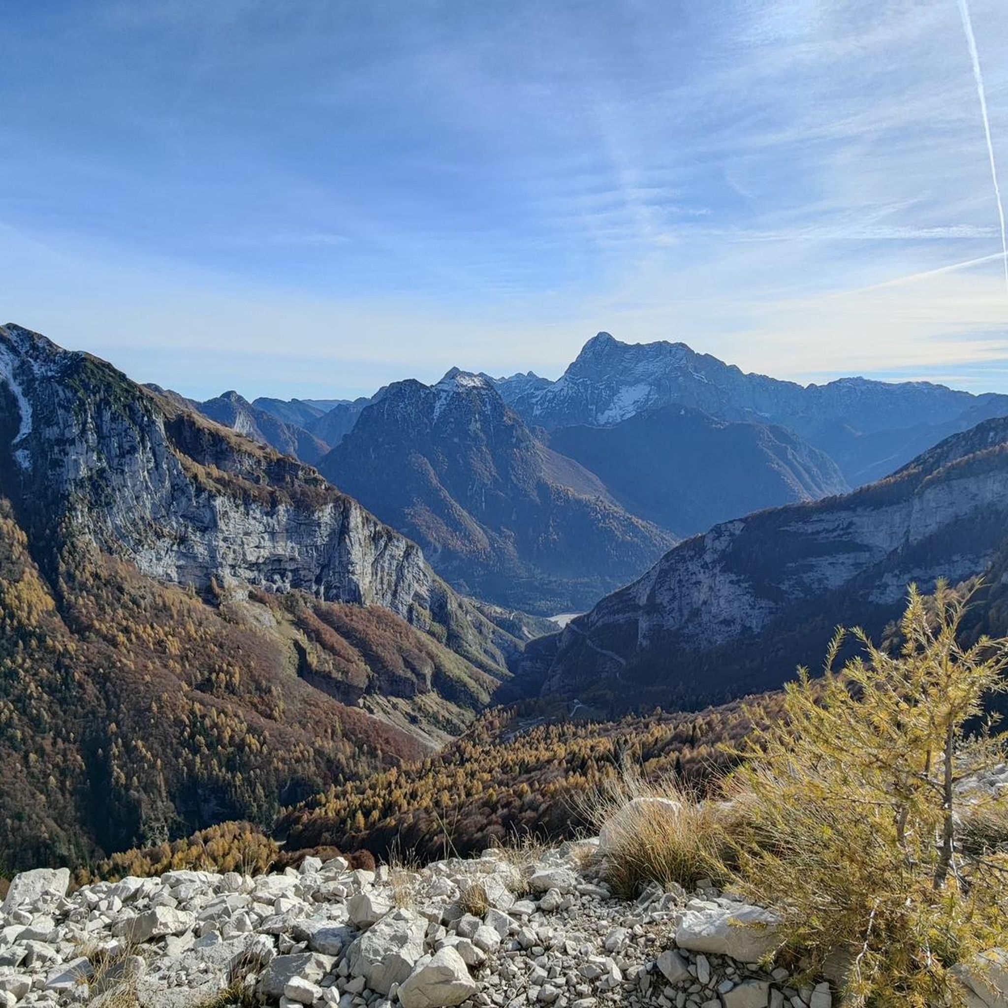
Cycling around Parco naturale regionale delle Dolomiti Friulane

Gravel biking around Parco naturale regionale delle Dolomiti Friulane

Mountain Hikes around Parco naturale regionale delle Dolomiti Friulane
Other adventures around Parco naturale regionale delle Dolomiti Friulane

Tips from the Community

Branch of trail 362 towards the Mus Pass in Val d'Inferno towards the La Sidon Alta Pass (CAI 366).
0
0


Spectacular northwest ridge of the Pramaggiore group.
0
0
Cima Pramaggiore, highly scenic. Tough if climbed in a day from Val Settimana.
0
0

La Casera Mela is a historic alpine structure located at an altitude of 1,170 meters in the picturesque Val Vajont, within the Natural Park of the Friulian Dolomites. Reachable via a convenient dirt road starting from the Erto area, the casera is situated in a verdant clearing offering a spectacular view of the north face of Monte Toc and the surrounding peaks. This place, now transformed into a welcoming refreshment point and agriturismo, is famous for its genuine hospitality and its cuisine linked to the flavors of local tradition. It represents a fundamental stop for those who wish to explore the trails leading towards the Duranno group, combining the wild beauty of the Friulian mountains with the historical memory of a valley deeply marked by the events of 1963.
0
0
Rifugio Maniago is located at an altitude of 1,730 meters, nestled in the scenic head of Val Zemola, in the heart of the Friulian Dolomites Natural Park. This historic stone structure, dominated by the imposing walls of Mount Duranno, represents a fundamental resting point for mountaineers and hikers traversing the Friulian Dolomites Ring. The refuge is famous for its authentic atmosphere and strategic position, which allows for close-up admiration of limestone spires of extraordinary beauty. The ascent to reach it, usually starting from near Casera Mela, winds through a wild and evocative environment, where it is not uncommon to spot chamois and ibex. It is the ideal place for those seeking silence and pristine nature, far from the most crowded tourist flows.
0
0

There are magical places in the Dolomites, even far from the over-frequented places: this is one of those places... wonderful!
0
0
A beautiful refuge, you can truly feel the refuge atmosphere. Well-managed, excellent food. Thanks to the two managers, Marika and Ivan: extraordinary!
0
0
Frequently Asked Questions
How many running routes are available in Parco naturale regionale delle Dolomiti Friulane?
There are over 10 dedicated jogging routes in Parco naturale regionale delle Dolomiti Friulane, offering a variety of experiences across this stunning UNESCO World Heritage site. Most of these routes are considered difficult, catering to experienced runners.
What kind of terrain can I expect on the jogging trails in the Friulian Dolomites?
The terrain in Parco naturale regionale delle Dolomiti Friulane is incredibly diverse. You'll encounter everything from gentle paths along valley floors and through serene spruce and pine forests to more demanding mountain trails with significant elevation changes. Expect jagged peaks, impressive rock towers, and deep canyons, providing a wild and unspoiled backdrop for your run.
Are there any easy jogging routes suitable for beginners or families in the park?
While most routes in the park are rated as difficult, offering a challenge for experienced runners, the region does offer paths that can be adapted for easier jogs. For example, sections of the Old Valcellina Road provide scenic, less strenuous options. Always check the route details for elevation and distance to ensure it matches your fitness level.
What are some notable landmarks or points of interest I might see along the running trails?
The park is rich in natural beauty and interesting spots. You might encounter impressive natural monuments like the Campanile of Val Montanaia. Several mountain huts, such as Rifugio Pordenone, Giaf Hut, and Rifugio Flaiban Pacherini, also serve as excellent bases and offer stunning views. The area also features beautiful lakes like Lake Cà Selva.
Are there any circular running routes in Parco naturale regionale delle Dolomiti Friulane?
Yes, several excellent circular routes are available. A popular choice is the Campanile di Val Montanaia — loop hike from Rifugio Pordenone, which is about 14.7 km long. Another option is the Rifugio Pordenone loop from Rifugio Pordenone, a shorter 5.9 km trail.
Can I bring my dog on the running trails in the Friulian Dolomites?
The Parco Naturale Regionale delle Dolomiti Friulane is generally dog-friendly, but specific regulations may apply in certain areas, especially concerning wildlife protection. It's always best to keep your dog on a leash and ensure you clean up after them. Check local signage or the park's official website for the most current guidelines regarding pets.
What is the best time of year to go running in Parco naturale regionale delle Dolomiti Friulane?
The best time for running is typically from late spring to early autumn (May to October). During these months, the weather is generally milder, and trails are free of snow. Summer offers lush landscapes, while autumn provides stunning fall colors. Winter running is possible but requires specialized gear for snow and ice, as many trails may be covered.
Where can I find parking for the jogging trailheads?
Parking is available at various access points and near mountain huts throughout the park. Popular trailheads often have designated parking areas. For specific routes, it's advisable to check the route description on komoot or the park's official resources for precise parking locations to plan your start point effectively.
Is public transport available to access the running routes?
Access to the more remote trailheads in Parco naturale regionale delle Dolomiti Friulane by public transport can be limited. While some villages on the park's periphery might be served by buses, reaching specific starting points for mountain trails often requires a car. It's recommended to check local bus schedules if you plan to rely on public transport.
What kind of wildlife might I spot while running in the park?
The park is a haven for biodiversity. Keep an eye out for chamois, roe deer, red deer, and alpine ibexes. Marmots are also common. Birdwatchers might spot capercaillies, peregrine falcons, and even the majestic golden eagle soaring above the valleys. Remember to maintain a respectful distance and avoid disturbing the animals.
Are there any challenging long-distance running routes in the park?
Absolutely. For those seeking a significant challenge, the Monte Pramaggiore — loop tour in the Natural Park of the Friulian Dolomites is a difficult 30.9 km route with substantial elevation gain, offering expansive views of the park's wild landscapes. Another demanding option is the Rifugio Pordenone – Bivacco Marchi-Granzotto loop from Rifugio Pordenone, covering 12.5 km with over 1000m of ascent.
What do other runners enjoy most about jogging in Parco naturale regionale delle Dolomiti Friulane?
The area is highly rated by the komoot community, with an average score of 3.7 stars from over 16 reviews. Runners often praise the wild and unspoiled landscapes, the dramatic Dolomitic scenery, and the sense of tranquility offered by the park's remote valleys. The diverse terrain and challenging mountain paths are also frequently highlighted as a draw for those seeking an adventurous run.
Most popular routes around Parco naturale regionale delle Dolomiti Friulane
Most popular attractions around Parco naturale regionale delle Dolomiti Friulane

Get inspired with the komoot mobile app


Explore more
Browse the best Running Trails & Routes in other regions.
