The best walks and hikes around Oristà
4.5
(168)
1,641
hikers
154
hikes
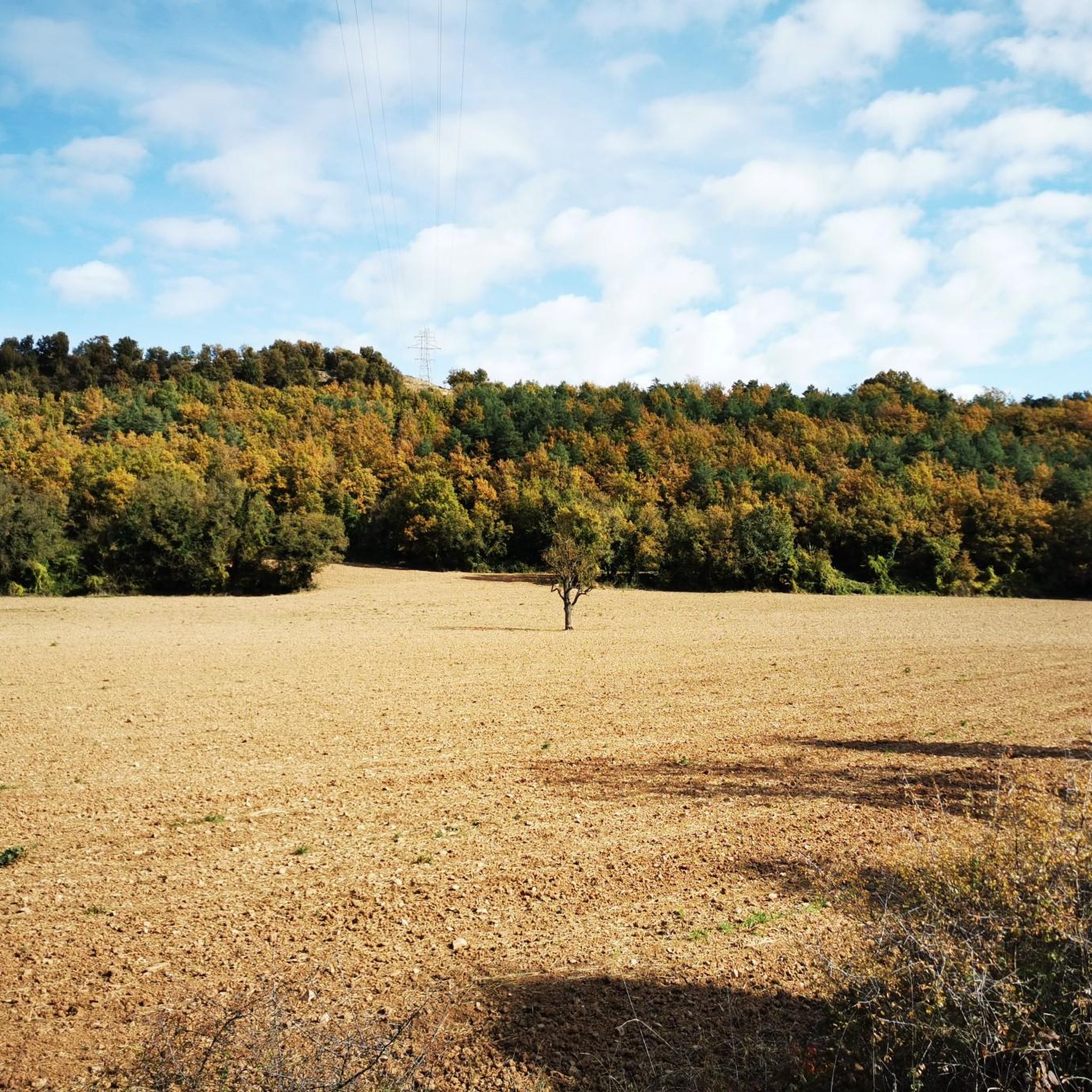
Hiking around Oristà offers diverse natural landscapes within the Lluçanès region, characterized by an average altitude of 700 meters and varied terrain. The area features extensive forests of pine and holm oak, agricultural lands, and rocky hill slopes adorned with wild rosemary and thyme. The Gavarresa stream traverses the village, shaping features like the Cingle dels Tres Còdols and providing pleasant walking paths.
Best hiking trails around Oristà
- The most popular hiking route is La Sierra de Sant Andreu -…
Last updated: August 25, 2026
5.0
(1)
11
hikers
9.93km
02:46
190m
190m
Moderate hike. Good fitness required. Easily-accessible paths. Suitable for all skill levels.
5
hikers
7.35km
01:59
90m
100m
Easy hike. Great for any fitness level. Easily-accessible paths. Suitable for all skill levels.

Sign up for free
5.0
(1)
7
hikers
12.0km
03:21
230m
230m
Moderate hike. Good fitness required. Easily-accessible paths. Suitable for all skill levels.
5.0
(1)
3
hikers
4.73km
01:19
90m
90m
Easy hike. Great for any fitness level. Easily-accessible paths. Suitable for all skill levels.
5
hikers
9.96km
02:54
260m
260m
Moderate hike. Good fitness required. Easily-accessible paths. Suitable for all skill levels.
Get access to more routes and recommendations from other explorers.
Sign up for free
Already have an account?
Our route recommendations are based on thousands of hikes, rides, and runs completed by other people on komoot.
Start today with a free account
Your next adventure awaits.
Login or Signup
Tips from the Community

The church of Santa Creu de Jutglar is located in the nucleus of the same number, part of the municipality of Olost, in the Catalan region of Lluçanès. It is a building with a single nave and a rectangular plan with an adjacent bell tower of a square plan. It is documented for the first time in the year 984, as a dependency of the church of Santa Maria d'Olost. The annual meeting of the Lluçanès Council of Jurors was held in this church, a council made up of representatives from all the parishes that were part of the Lluçanès Subvegería.
1
0

Olost is a municipality in the province of Barcelona, in the county of Osona, in the sub-county of Lluçanés. It also includes the town of Santa Creu de Jutglar. The parish of Santa María de Olost has been documented since 908 and that of Santa Creu de Jotglar since 984. From 1966 to 1991 Mosén Ramon Vila i Pujol was rector of the church of Santa María de Olost.
14
0

Olost is a beautiful town that can be recognized from afar by the two bell towers of the Santa Maria church. Olost is a beautiful town, located in a small valley cut by the stream of Olost, with small shops that can be recognized from afar by the two bell towers of the church of Santa Maria. According to the legend, a couple promised a new bell tower if the virgin gave them a child; and they had a twin! It is a large nucleus, in relation to those surrounding it in the Lluçanès area, which already extended from the Sant Adjutori mountain range to the Olost stream already in modern times (17th and 18th centuries). The nerve center of Olost is Plaça Major, where the parish church and the town house are located. From this point the core is structured, both old and now. Among the streets built over the course of the 17th and 18th centuries, to the west of Plaça Major, you can count Carrer Berga, one of the longest in the town, Carrer Gelada, Carrer Nou and Carrer de Sant Adjutori, located in the ridge It also has the Raval del d'Olost, with preserved houses in Raval del Mig and Raval de Baix streets. In these older streets you can see houses framed with stone masonry walls that retain dated lintels indicating construction dates of the 17th and 18th centuries. We recommend going up to the viewpoint of Sant Adjutori, where there is the hermitage and hill from where you can observe beautiful panoramic views of the town and the mountains on the horizon that enclose the Lluçanès plateau: from the agricultural and forest landscape from Lluçanès to Montserrat, passing through the eastern Pyrenees in the north. https://turisme.llucanes.cat/municipi/olost/ https://turisme.llucanes.cat/visiteu/esglesia-santa-maria-olost/
4
0
The castle of Olost is located in a hollow – therefore in a not very strategic situation – next to the stream of Olost and to the south of the town of Olost and very close to its main nucleus, although it belongs to the municipality of Oristà. The castle arose in the 11th century after the disappearance of the castle of Oristà. It started as just a watchtower with a rectangular plan. Later on, it became a castle, although it was never a defense fortress but rather a stately residence bringing together feudal possessions. Of the old building, the tower and the Gothic chapel are currently preserved. https://ca.wikipedia.org/wiki/Castell_d%27Olost
2
0

The castle of Olost is located in a hollow – therefore in a not very strategic situation – next to the stream of Olost and to the south of the town of Olost and very close to its main nucleus, although it belongs to the municipality of Oristà. The castle arose in the 11th century after the disappearance of the castle of Oristà. It started as just a watchtower with a rectangular plan. Later on, it became a castle, although it was never a defense fortress but rather a stately residence bringing together feudal possessions. Of the old building, the tower and the Gothic chapel are currently preserved. It is located on top of a rocky spur, to the north of the term. The plan of the current complex is trapezoidal and is the product of several construction phases, of which the oldest (15th-16th century) that is preserved in height corresponds to a square tower, dated to the 15th century, located in the East. The rest of the constructions are delivered to the tower and would be chronologically later (16th-18th centuries). To the south-west of the main complex, a square tower (from the late medieval period) is preserved, which is located on top of a hydraulic mill linked to the castle. This tower is given a section of perimeter wall, which would be later than the tower.[1] The rest of the walls and structures of the medieval construction (except for the aforementioned towers) would be located underground, together with the remains of the evolution and use of the whole complex.[1] The rest of the building consists of three floors, with a rectangular plan and a roof with a double lateral slope on the facade of the entrance door. The central part of the right facade is occupied by the tower with a rectangular plan and with the crowning with battlements redone in a modern way. Around the castle there are several outbuildings that are used as housing by the farmers.[1] The well block stands out, built with a cylindrical body made of stone and mortar, currently restored with the addition of cement, flanked by two pillars with an elongated rectangular base that support a wooden beam that acts as the axis of a double-sloped roof with Arabic tiles On one of the pilasters, on the outer and upper part, the date 1678 is preserved. Info taken from Wikipedia
1
0

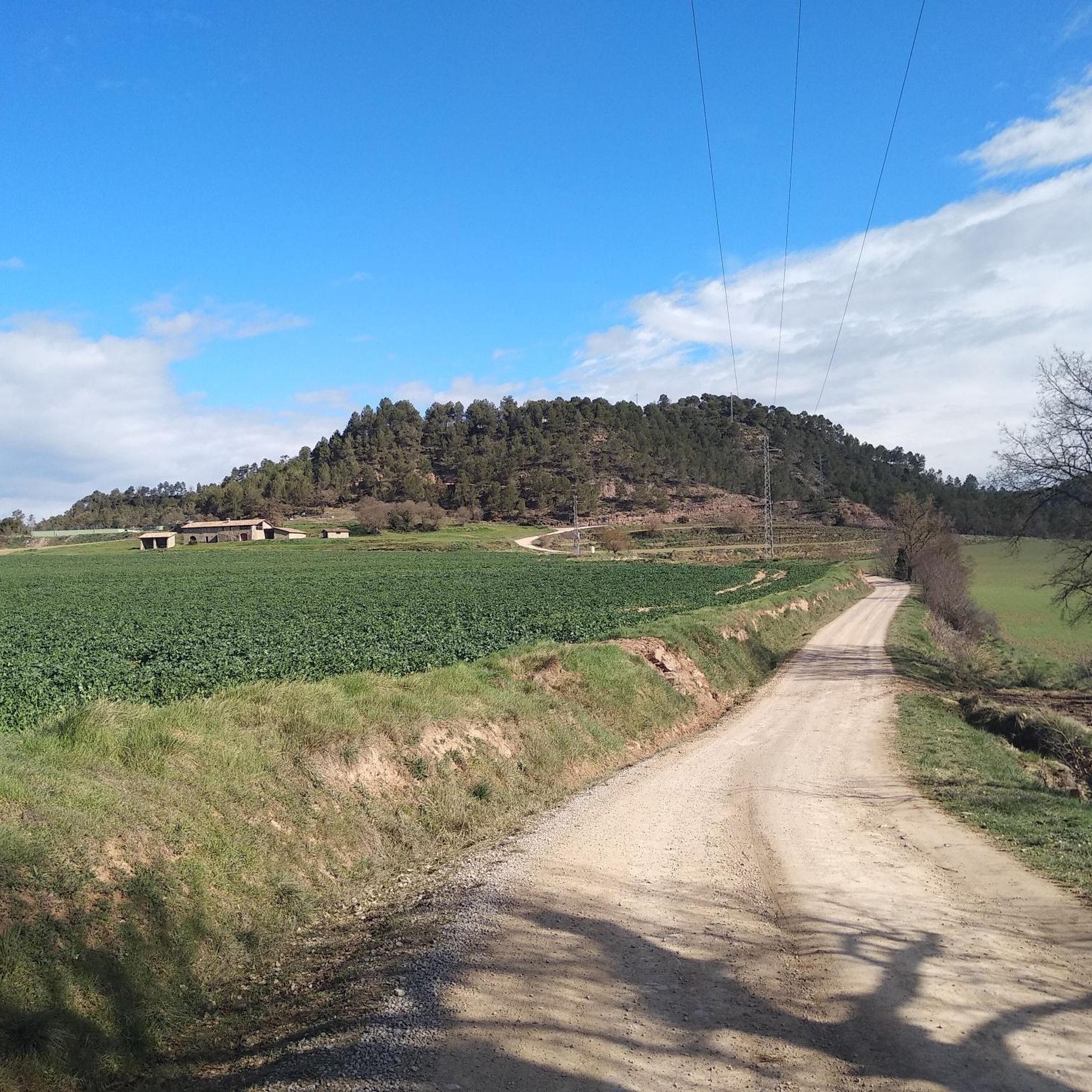
Small but beautiful Castle in the municipality of Olost, right at the beginning of the track that leads to Oristà
1
0
Frequently Asked Questions
How many hiking trails are available around Oristà?
Oristà offers a wide variety of hiking opportunities, with over 140 routes recorded on komoot. These trails cater to different skill levels, from easy strolls to more challenging long-distance hikes.
Are there easy hiking routes suitable for beginners or families in Oristà?
Yes, Oristà has many easy routes perfect for beginners or families. For example, the La Sierra de Sant Andreu - return from Prats de Lluçanes is an easy 5 km trail that takes about 1 hour 22 minutes to complete, offering pleasant views of the surrounding sierra.
What kind of landscapes can I expect to see while hiking in Oristà?
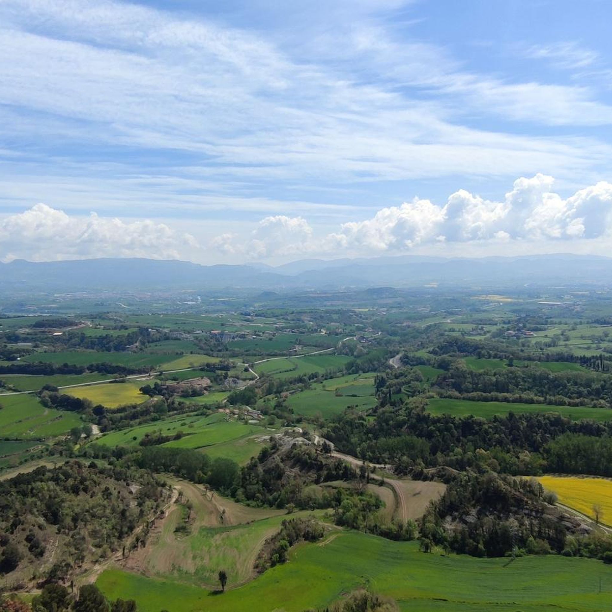
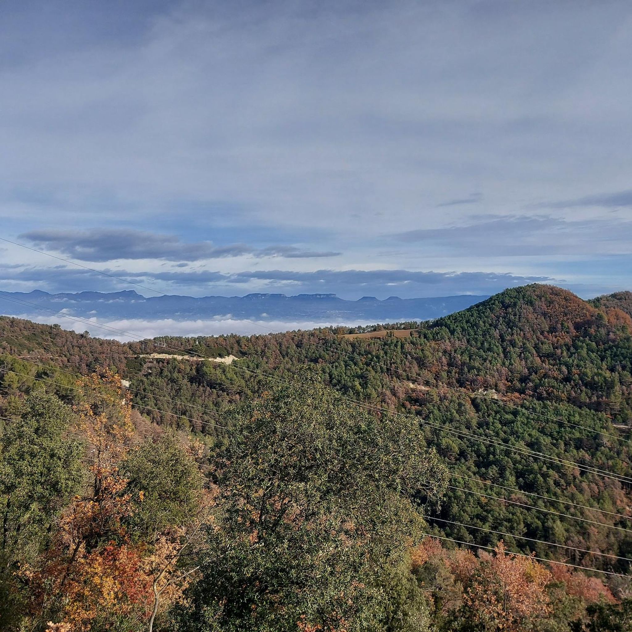
Hiking in Oristà reveals a diverse landscape characterized by extensive forests of pine, holm oak, poplars, and cypress, alongside agricultural lands and rocky hill slopes. The Gavarresa stream carves through the area, creating features like the Cingle dels Tres Còdols, and higher points offer panoramic views of the village and distant peaks like Cadí and Montserrat.
Are there any circular hiking routes in Oristà?
Yes, Oristà features several circular routes. A popular moderate option is the Hiking loop from Olost, which covers about 9.9 km and typically takes around 2 hours 46 minutes through diverse natural environments. Another is the Chapel of Bona Sort – Santa Eulàlia de Pardines loop from Prats de Lluçanès, a moderate 7.4 km path connecting historical points.
What are some notable natural attractions or landmarks to see along the trails?
Along the trails, you can discover several natural and historical highlights. Consider visiting The Lady's Oak or the Ancient Olive Tree at Casanova de Viladecans. The Mig Prat Spring is another natural monument. For panoramic views, the Mirador de Sant Sebastià is highly recommended, and the Ermita de Sant Sebastià is a significant religious building in the area.
What is the best time of year to go hiking in Oristà?
Oristà is beautiful throughout the year, but spring, particularly May, is especially vibrant. During this time, the rocky areas burst with hundreds of types of wildflowers, creating a spectacular display. The diverse terrain and forests also make it enjoyable in autumn with changing foliage.
Are there challenging hiking trails for experienced hikers?
Yes, for experienced hikers seeking a challenge, Oristà offers difficult routes. The Prats de Lluçanès Trail (PR-C 44) is a demanding 27.1 km route with significant elevation changes, typically taking over 7 hours to complete.
What kind of wildlife can be spotted while hiking in Oristà?
Oristà is rich in biodiversity. Hikers can spot numerous bird species, including cuckoos, owls, jays, hoopoes, and woodpeckers, as well as birds of prey like vultures and kestrels. The area is also home to small mammals such as voles and shrews, deer, badgers, bats, and wild pigs.
What do other hikers say about the trails in Oristà?
The hiking trails in Oristà are highly regarded by the komoot community, holding an average rating of 4.6 out of 5 stars from over 150 reviews. Hikers often praise the varied terrain, the quiet woodlands, and the well-maintained paths that offer a mix of natural beauty and cultural interest.
Are there any historical sites accessible by hiking in Oristà?
Yes, hiking in Oristà can be combined with cultural exploration. The archaeological remains of the Roman stronghold of Puig Ciutat are reachable by a thirty-minute walk. A longer walk can also lead to the house of the Catalan bandit, Perot Rocaguinarda, offering a glimpse into the region's history.
How long do hikes in Oristà typically take?
The duration of hikes in Oristà varies greatly depending on the route's length and difficulty. Easy trails like La Sierra de Sant Andreu - return from Prats de Lluçanes can be completed in just over an hour, while moderate loops such as the Hiking loop from Sant Martí d'Albars might take around 3.5 hours. More challenging routes can extend to over 7 hours.
Is Oristà a good destination for winter hiking?
While Oristà offers varied terrain, its proximity to the pre-Pyrenees means that on clear days, you can gauge snow levels on distant peaks like Cadí and Pedraforca. Winter hiking is possible, but conditions can vary, so it's always advisable to check local weather forecasts and trail conditions before heading out.
Most popular attractions around Oristà

Get inspired with the komoot mobile app


Explore more
Browse the best Hikes in other regions.
