Comunidad de Palacios de la Sierra Vilviestre del Pinar y San Leonardo de Yagüe
Comunidad de Palacios de la Sierra Vilviestre del Pinar y San Leonardo de Yagüe
The best road cycling routes around Comunidad de Palacios de la Sierra Vilviestre del Pinar y San Leonardo de Yagüe
4.6
(19)
599
riders
47
rides
Road cycling routes around Comunidad de Palacios de la Sierra Vilviestre del Pinar y San Leonardo de Yagüe traverse a landscape characterized by dense pine and oak forests, limestone canyons, and glacial lakes. The region, part of the Sierra de la Demanda, offers varied terrain from rolling hills to demanding ascents. Roads often feature good surfaces and low traffic, providing access to natural parks and historic villages.
Best road cycling routes around Comunidad de Palacios de la Sierra Vilviestre del…
Last updated: October 29, 2026
5.0
(2)
19
riders
55.6km
02:31
630m
630m
4.0
(1)
15
riders
Moderate road ride. Good fitness required. Mostly well-paved surfaces and easy to ride.

30
riders
Moderate road ride. Good fitness required. Some segments of this route may be unpaved and difficult to ride.
5.0
(1)
18
riders
Moderate road ride. Good fitness required. Some segments of this route may be unpaved and difficult to ride.
9
riders
60.6km
02:46
710m
710m
Moderate road ride. Good fitness required. Mostly well-paved surfaces and easy to ride.
Get access to more routes and recommendations from other explorers.
Already have an account?
Our route recommendations are based on thousands of hikes, rides, and runs completed by other people on komoot.
Start today with a free account
Your next adventure awaits.
Popular around Comunidad de Palacios de la Sierra Vilviestre del Pinar y San Leonardo de Yagüe
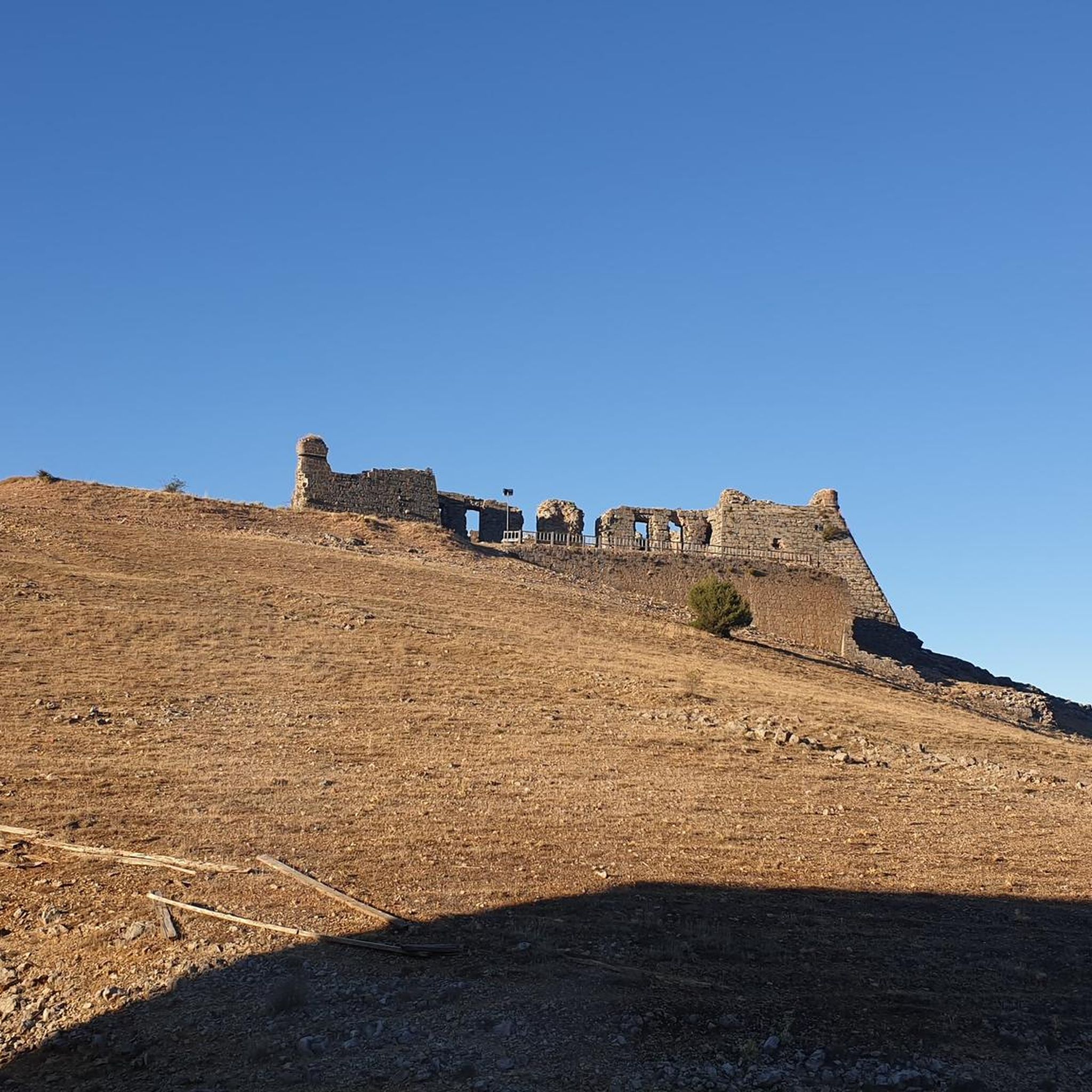
Cycling around Comunidad de Palacios de la Sierra Vilviestre del Pinar y San Leonardo de Yagüe
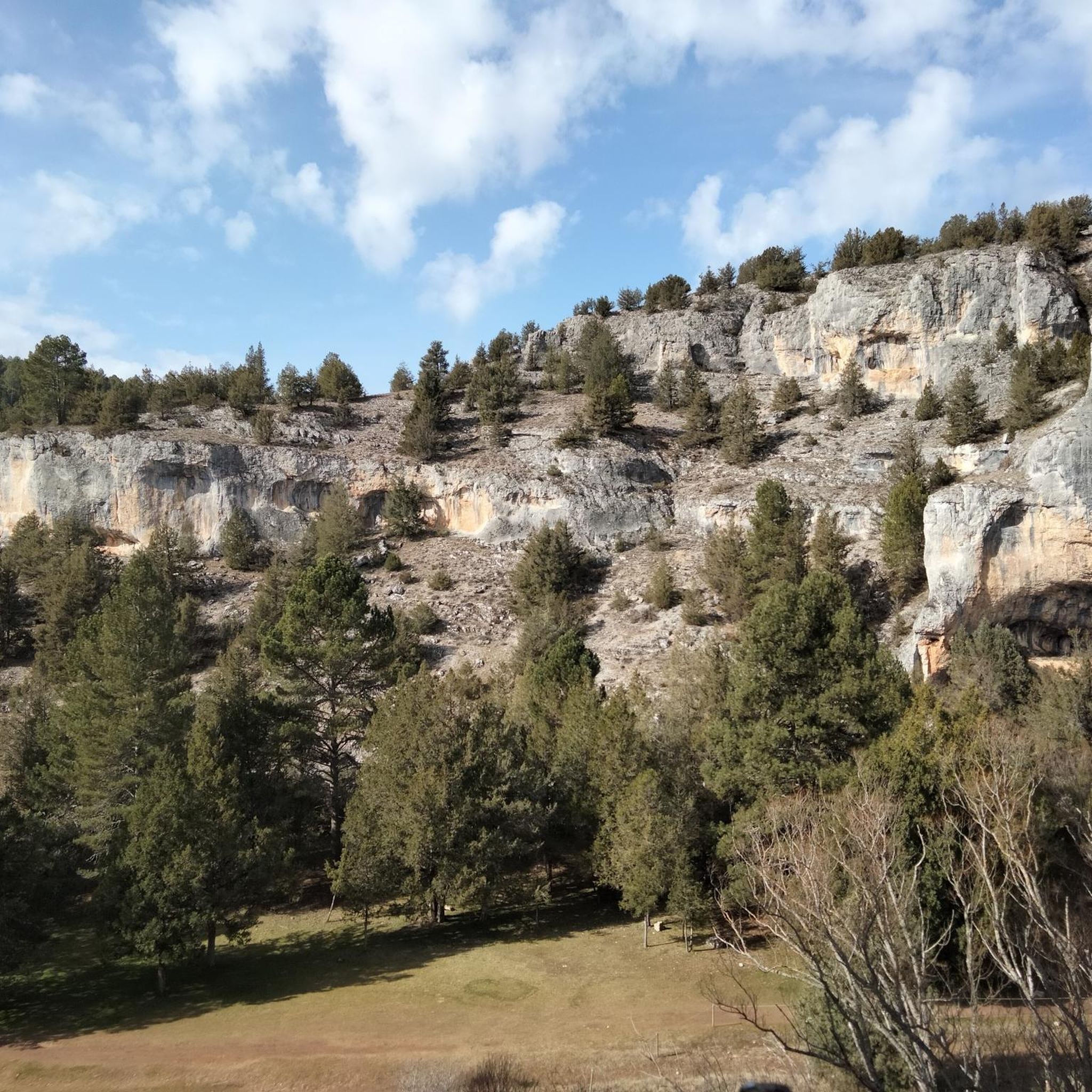
MTB Trails around Comunidad de Palacios de la Sierra Vilviestre del Pinar y San Leonardo de Yagüe
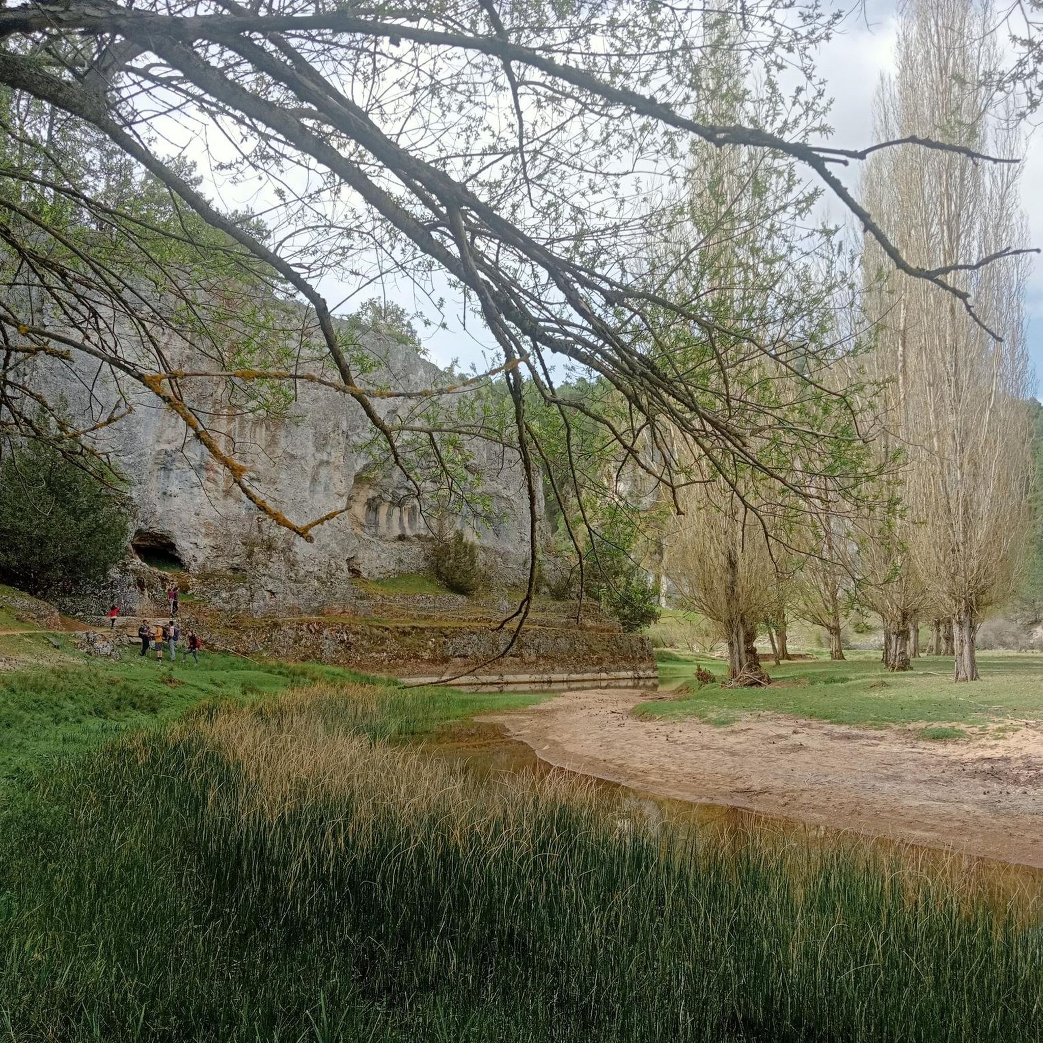
Running Trails around Comunidad de Palacios de la Sierra Vilviestre del Pinar y San Leonardo de Yagüe

Hiking around Comunidad de Palacios de la Sierra Vilviestre del Pinar y San Leonardo de Yagüe

Gravel biking around Comunidad de Palacios de la Sierra Vilviestre del Pinar y San Leonardo de Yagüe
Tips from the Community


A beautiful village in the PINARES region, in the province of Soria
0
0

Beautiful hermitage that is next to the road that goes in the direction of Abejar and as its name suggests, its white facade stands out from the rest of the landscape!
0
0

Some houses remain in ruins, a good example of emptied Spain
0
0
This population, of only 13 residents currently registered, is located in a small depression between higher mountains. Nice road that crosses the town!
0
0
Frequently Asked Questions
How many road cycling routes are available in the Comunidad de Palacios de la Sierra, Vilviestre del Pinar, and San Leonardo de Yagüe region?
There are over 35 road cycling routes available in this region. These routes traverse diverse landscapes, from dense pine and oak forests to limestone canyons and glacial lakes, offering varied terrain for cyclists.
What kind of difficulty levels can I expect for road cycling routes in this region?
The region offers a diverse range of road cycling routes suitable for various skill levels. You'll find options from moderate rides, with 19 routes, to more challenging ascents, with 15 difficult routes. There is also 1 easy route available. The Sierra de la Demanda, for instance, provides everything from well-paved, easy surfaces to demanding climbs with substantial elevation gain, such as the famous ascent to Lagunas de Neila.
What natural attractions can I explore while road cycling in this area?
The region is rich in natural beauty. You can cycle near the impressive Cañón del Río Lobos Natural Park, known for its unique geology and diverse fauna. The stunning glacial lakes of Lagunas de Neila are a major highlight for cyclists seeking challenging climbs and breathtaking scenery. The broader Sierra de la Demanda and Geopark Las Loras also offer varied terrain and picturesque landscapes.
Are there any interesting landmarks or cultural sites along the road cycling routes?
Yes, several routes pass by notable landmarks. For example, the Ermita de La Blanca – San Leonardo de Yagüe loop leads through forested areas and past local points of interest. You might also encounter historical sites like the Necropolis of Comunero de Revenga or the traditional architecture of Vilviestre del Pinar, including the Church of San Martín de Tours.
What do other road cyclists enjoy the most about road cycling in Comunidad de Palacios de la Sierra, Vilviestre del Pinar, and San Leonardo de Yagüe?
The area is highly rated by the komoot community, with an average score of 5.0 stars from more than 5 reviews. Cyclists often praise the region's diverse terrain, from rolling hills to demanding ascents, and the generally good road surfaces with low traffic. The scenic beauty of the pine and oak forests, limestone canyons, and glacial lakes are frequently highlighted.
Are there any circular road cycling routes available?
Yes, there are several circular routes. A popular option is the Cañón del Río Lobos and Hontoria del Pinar Loop, which allows you to explore the natural park and return to your starting point. Another local favorite is the Mirador de la Lastrilla y población de Ucero — circular por el Parque natural Cañón del río Lobos, offering scenic vistas.
What is the best time of year for road cycling in this region?
The best time for road cycling in the Sierra de la Demanda region, which includes these areas, is typically from spring through autumn. During these seasons, the weather is generally more favorable, and the natural landscapes are at their most vibrant. Summer offers warm, long days, while spring and autumn provide cooler temperatures ideal for longer rides.
Are there any family-friendly road cycling options with low traffic?
While many routes in the region feature low traffic, the Greenway of the Sierra de la Demanda offers an easy-to-ride and scenic route. Although it includes some unpaved segments, many sections are paved, making it suitable for various fitness levels and families looking for a more relaxed experience away from main roads.
Where can I find parking facilities for cyclists in the area?
Towns like Palacios de la Sierra, Vilviestre del Pinar, and San Leonardo de Yagüe serve as excellent starting points for cycling and typically offer parking facilities. You can often find convenient parking in or near these villages, providing easy access to the surrounding road cycling networks.
Are there any challenging climbs for experienced road cyclists?
Absolutely. The region is renowned for challenging climbs, most notably the ascent to Lagunas de Neila. This climb is considered one of Spain's most famous, frequently appearing in professional races. Cyclists can choose routes with steep gradients, especially in the final kilometers, offering a demanding yet rewarding experience.
Can I find places to eat or stay in the towns along the routes?
Yes, the towns of Palacios de la Sierra, Vilviestre del Pinar, and San Leonardo de Yagüe are well-equipped to support visitors. You'll find cafes, pubs, and various accommodation options in these villages, making them convenient bases for your cycling adventures and places to refuel after a ride.
Are there any road cycling routes that offer views of waterfalls?
The Geopark Las Loras, which is part of the broader cycling region, is known for its dramatic natural features, including picturesque waterfalls amidst beech and oak forests. While specific road cycling routes directly to waterfalls might vary, the varied terrain of the geopark provides engaging backdrops that may include such natural wonders.
What is the longest difficult road cycling route in the area?
One of the longest difficult routes is the Castroviejo Viewpoint – San Leonardo de Yagüe loop from San Leonardo de Yagüe. This challenging route spans 87.2 km (54.2 miles) and features a significant elevation gain of over 1380 meters, making it suitable for experienced cyclists seeking a demanding ride.
Most popular routes around Comunidad de Palacios de la Sierra Vilviestre del Pinar y San Leonardo de Yagüe
Most popular attractions around Comunidad de Palacios de la Sierra Vilviestre del Pinar y San Leonardo de Yagüe

Get inspired with the komoot mobile app


Explore more
Browse the best Road cycling routes in other regions.
