The best walks and hikes around Lugros
4.7
(259)
1,294
hikers
67
hikes
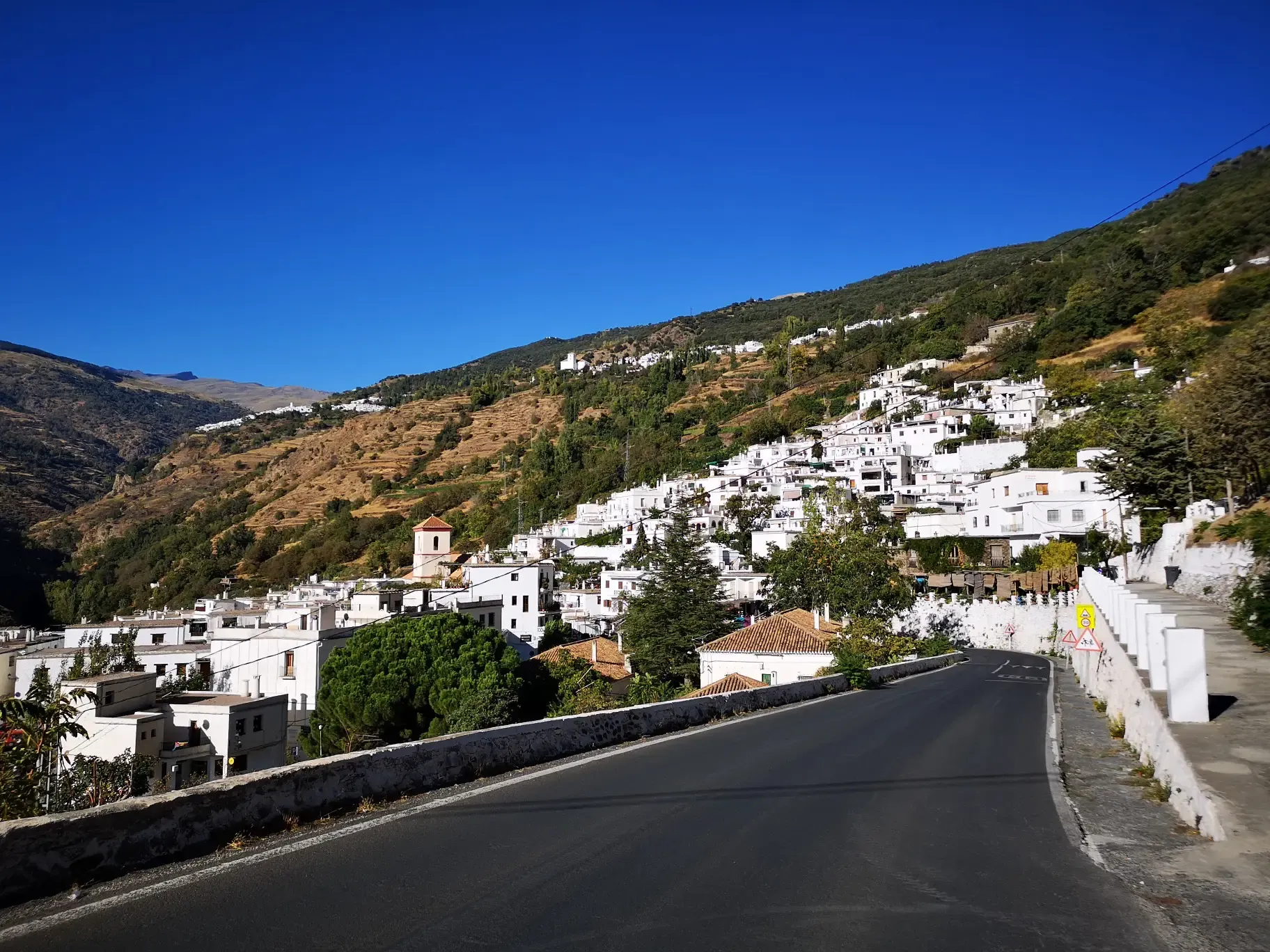
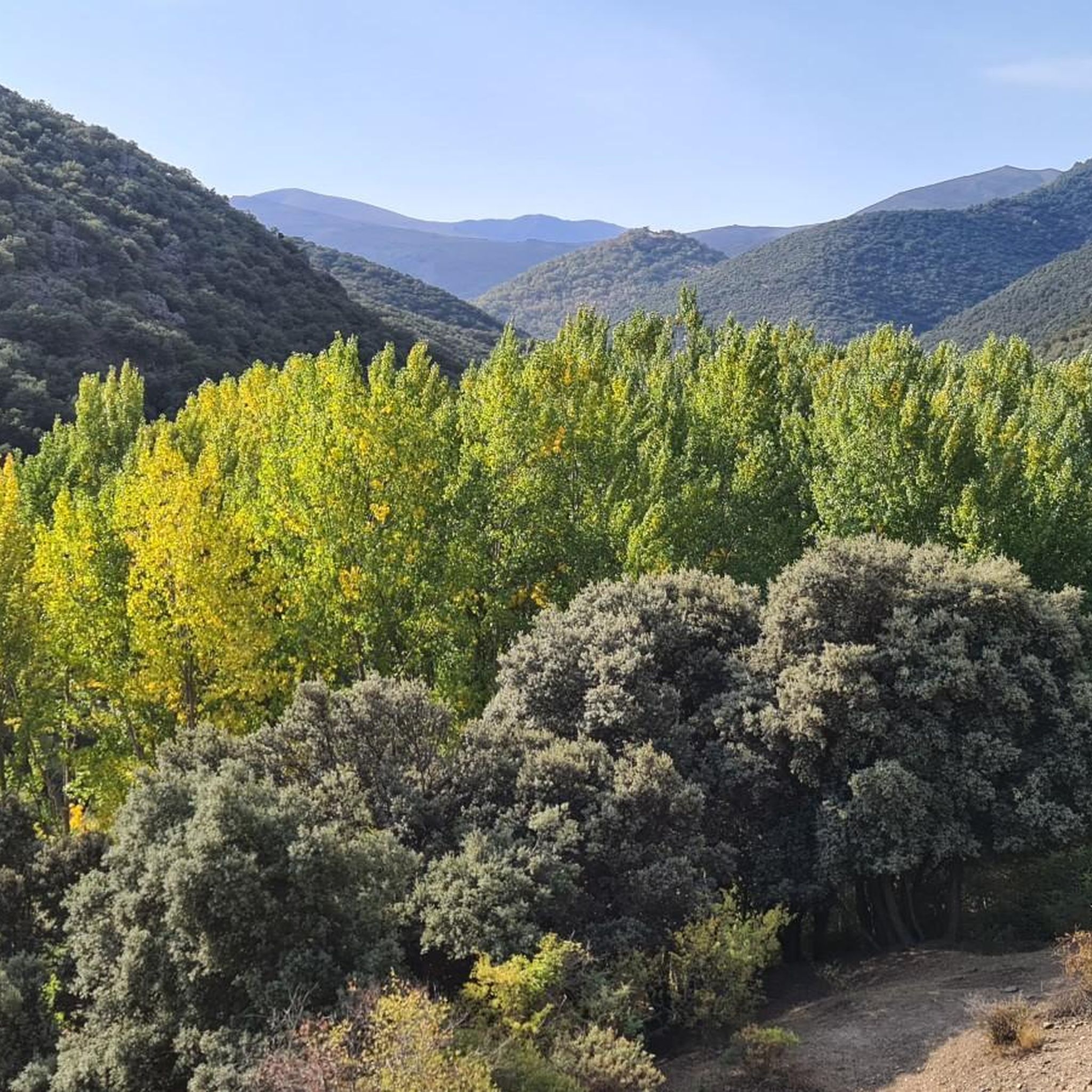
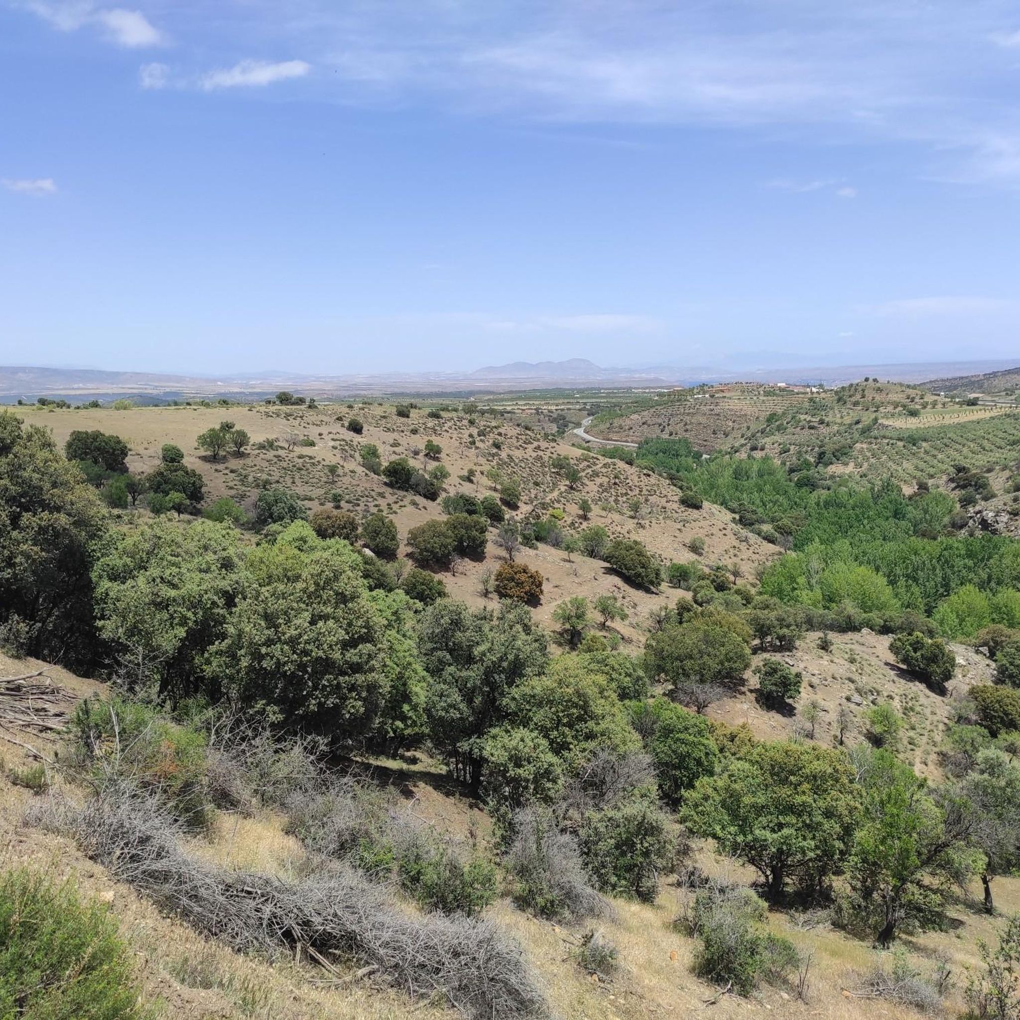
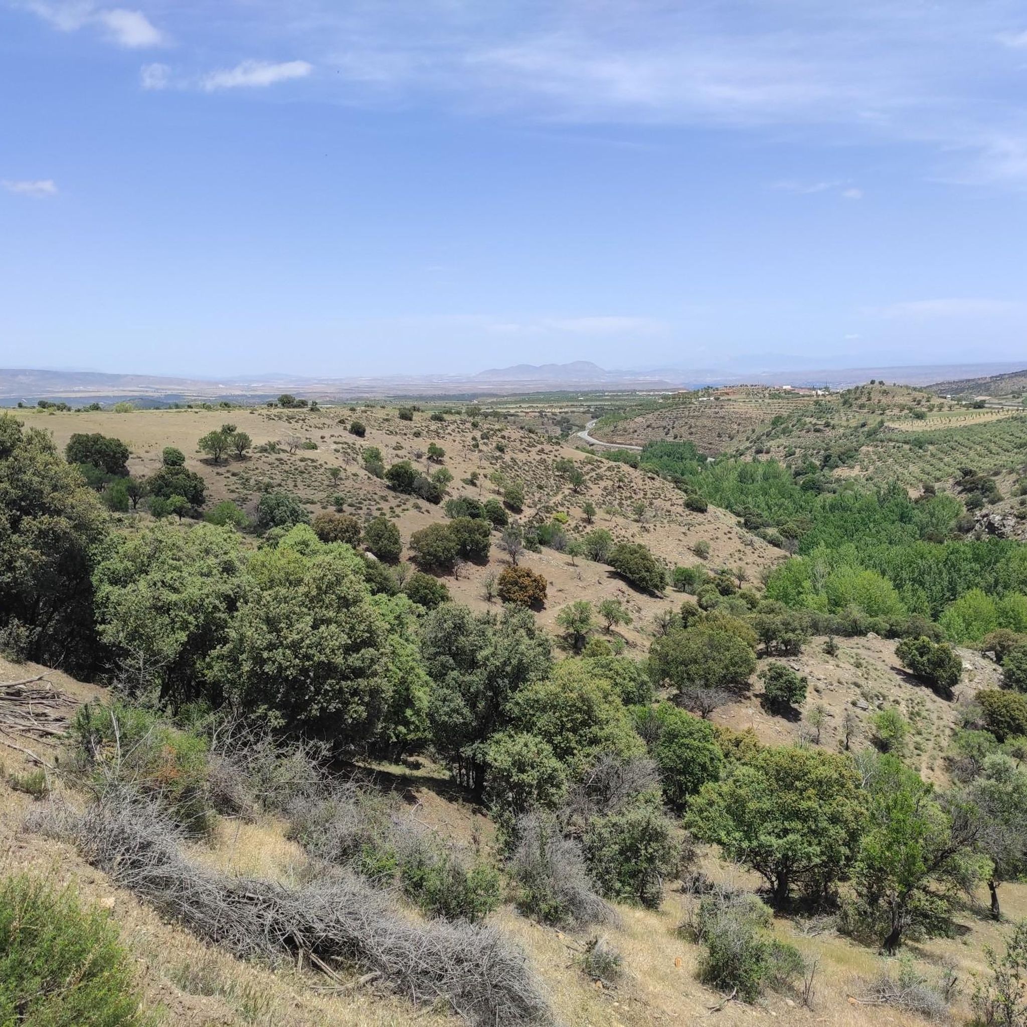
Hiking around Lugros offers access to diverse landscapes within the Sierra Nevada National Park and the Granada Geopark. The region features a mix of river valleys, elevated viewpoints, and ravines. Hikers can explore areas characterized by dehesa woodlands and varied geological formations. The terrain provides options ranging from gentle paths to more challenging mountain ascents.
Best hiking trails around Lugros
- The most popular hiking route is Sierra Nevada National Park – Alhama River and Camarate Dehesa (PR-A 33), a…
Last updated: July 2, 2026
4.9
(10)
82
hikers
18.9km
05:54
660m
660m
Hard hike. Very good fitness required. Mostly accessible paths. Sure-footedness required.
4.7
(15)
37
hikers
7.60km
02:12
180m
180m
Moderate hike. Good fitness required. Easily-accessible paths. Suitable for all skill levels.

Sign up for free
4.4
(5)
20
hikers
Moderate hike. Good fitness required. Easily-accessible paths. Suitable for all skill levels.
3.0
(1)
12
hikers
8.22km
02:19
170m
170m
Moderate hike. Good fitness required. Easily-accessible paths. Suitable for all skill levels.
5.0
(1)
13
hikers
27.1km
08:14
880m
880m
Hard hike. Very good fitness required. Mostly accessible paths. Sure-footedness required.
Get access to more routes and recommendations from other explorers.
Sign up for free
Already have an account?
Our route recommendations are based on thousands of hikes, rides, and runs completed by other people on komoot.
Start today with a free account
Your next adventure awaits.
Login or Signup

Other adventures around Lugros

Tips from the Community

This is La Peza, you can search the internet for the story of the Carbonero Mayor.
0
0

Monument with a remarkable cannon, although without further information.
7
0
The Parroquia de Nuestra Señora de la Anunciación in La Peza is an impressive church with a rich history. The church was originally built on the site of an old mosque and has since undergone several renovations and modifications. The current building is a beautiful combination of Mudéjar and Baroque styles. The church has a single nave with a collegiate church at the end, a choir at the base and nine side altars. It is an important cultural heritage site in the region and a popular place for religious gatherings and cultural events.
4
0

From the End of the World a beautiful view of the town
3
0

Very nice, easy hike with great views of the nature around La Peza! The people there are very accommodating and friendly!
0
1

Totally impressive and very steep path to the Mirador del Fin del Mundo.
1
0

I'm guessing it's a cannon from the Spanish Civil War. I didn't find a description
1
0
Single-nave church with a Mudejar-style coffered ceiling in the nave. The baroque facade is very simple.
1
0
Frequently Asked Questions
How many hiking trails are available around Lugros?
There are over 50 hiking trails around Lugros, offering a wide range of options for different skill levels. The komoot community has explored these routes over 1000 times, contributing to their high average rating.
What kind of landscapes can I expect when hiking near Lugros?
Hiking around Lugros offers diverse landscapes within the Sierra Nevada National Park and the Granada Geopark. You'll encounter river valleys, elevated viewpoints, and ravines. The terrain features dehesa woodlands and varied geological formations, providing options from gentle paths to more challenging mountain ascents.
Are there easy hiking options for beginners or families?
Yes, Lugros offers several easy hiking options. For instance, the End of the World Viewpoint – View of Hoya de Guadix loop from Beas de Guadix is an easy 3.6-mile (5.9 km) path that provides panoramic views and is suitable for a relaxed outing.
Can I find circular hiking routes in Lugros?
Yes, many trails in the Lugros area are circular. A popular choice is the End of the World Viewpoint – View of Hoya de Guadix loop from Beas de Guadix, which offers stunning views of the Hoya de Guadix. Another option is the La Tizná Recreation Area – Alcázar Ravine loop from Jérez del Marquesado, an 8.4-mile (13.6 km) trail.
How long do hikes typically take in the Lugros area?
Hike durations vary significantly. Easy routes, like the End of the World Viewpoint loop, can be completed in about 2 hours. Moderate trails, such as the Granada Geopark – End of the World Viewpoint loop, typically take around 2.5 hours. More difficult routes, like the Sierra Nevada National Park – Alhama River and Camarate Dehesa (PR-A 33), can take nearly 6 hours.
What are some notable natural or historical attractions to see while hiking?
Around Lugros, you can explore various attractions. The Guadix Cathedral and the Roman Theatre of Guadix offer historical insights. For natural beauty, consider visiting the Collado del Alguacil or the impressive peaks like Cerro Pelado 3,182 m within the Sierra Nevada.
What is the best time of year to hike in Lugros?
The best time to hike in Lugros is generally during spring (April to June) and autumn (September to November). During these seasons, the weather is milder, and the landscapes are vibrant with wildflowers or autumn colors. Summer can be very hot, especially at lower elevations, while winter brings snow to the higher Sierra Nevada peaks.
Are there options for winter hiking in Lugros?
Yes, winter hiking is possible, particularly on lower-elevation trails. However, the higher peaks of the Sierra Nevada National Park will be covered in snow and require specialized equipment and experience. Always check weather conditions and trail accessibility before heading out in winter.
What do other hikers enjoy the most about hiking in Lugros?
The trails in Lugros are highly rated by the komoot community, with an average score of 4.8 stars from over 200 reviews. Hikers frequently praise the diverse mountain landscapes, the serene river valleys, and the unique geological formations found within the Sierra Nevada National Park and the Granada Geopark.
Are there any trails that offer views of the Granada Geopark?
Absolutely. The Granada Geopark – End of the World Viewpoint loop from Beas de Guadix is a moderate 4.7-mile (7.5 km) trail specifically designed to showcase the unique geological features and panoramic vistas of the Geopark.
What about parking for trailheads in Lugros?
Many trailheads in and around Lugros, especially those leading into the Sierra Nevada National Park or near popular viewpoints, typically have designated parking areas. It's advisable to check the specific route details on komoot for information on parking availability at your chosen starting point.
Most popular attractions around Lugros

Get inspired with the komoot mobile app


Explore more
Browse the best Hikes in other regions.
