The best MTB trails around Villaprovedo
4.5
(4)
82
riders
4
rides
Mountain bike trails around Villaprovedo are found within the Boedo-Ojeda comarca, a region characterized by valleys and rolling hills. This area features oak and pine forests, providing varied terrain for cycling. Situated at an elevation of 855 meters, Villaprovedo lies in a transitional zone between flat plains and more rugged mountains, shaped by several river basins. This diverse landscape offers a mix of riding experiences for mountain bikers.
Best mountain bike trails around Villaprovedo
- The most popular mountain bike trail…
Last updated: July 12, 2026
3.0
(1)
27
riders
44.8km
03:49
450m
450m
Moderate mountain bike ride. Good fitness required. Advanced riding skills necessary.
5.0
(1)
13
riders
75.6km
06:00
110m
110m
Hard mountain bike ride. Very good fitness required. Suitable for all skill levels.

Sign up for free
5.0
(1)
8
riders
24.1km
01:59
210m
210m
Easy mountain bike ride. Great for any fitness level. Suitable for all skill levels.
8
riders
Easy mountain bike ride. Great for any fitness level. Suitable for all skill levels.
8
riders
51.2km
03:56
120m
120m
Moderate mountain bike ride. Good fitness required. Suitable for all skill levels.
Our route recommendations are based on thousands of hikes, rides, and runs completed by other people on komoot.
Start today with a free account
Your next adventure awaits.
Login or Signup
Popular around Villaprovedo

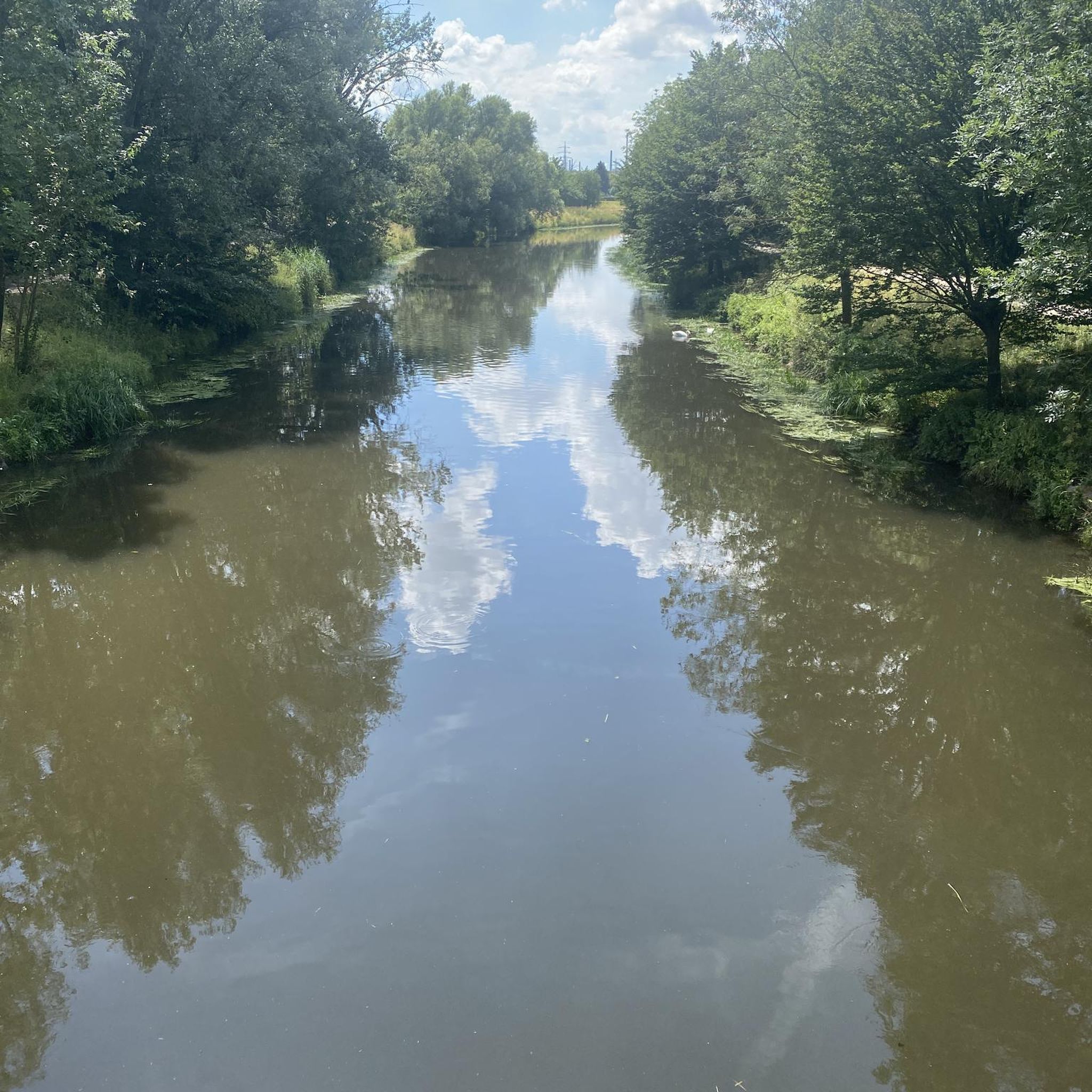
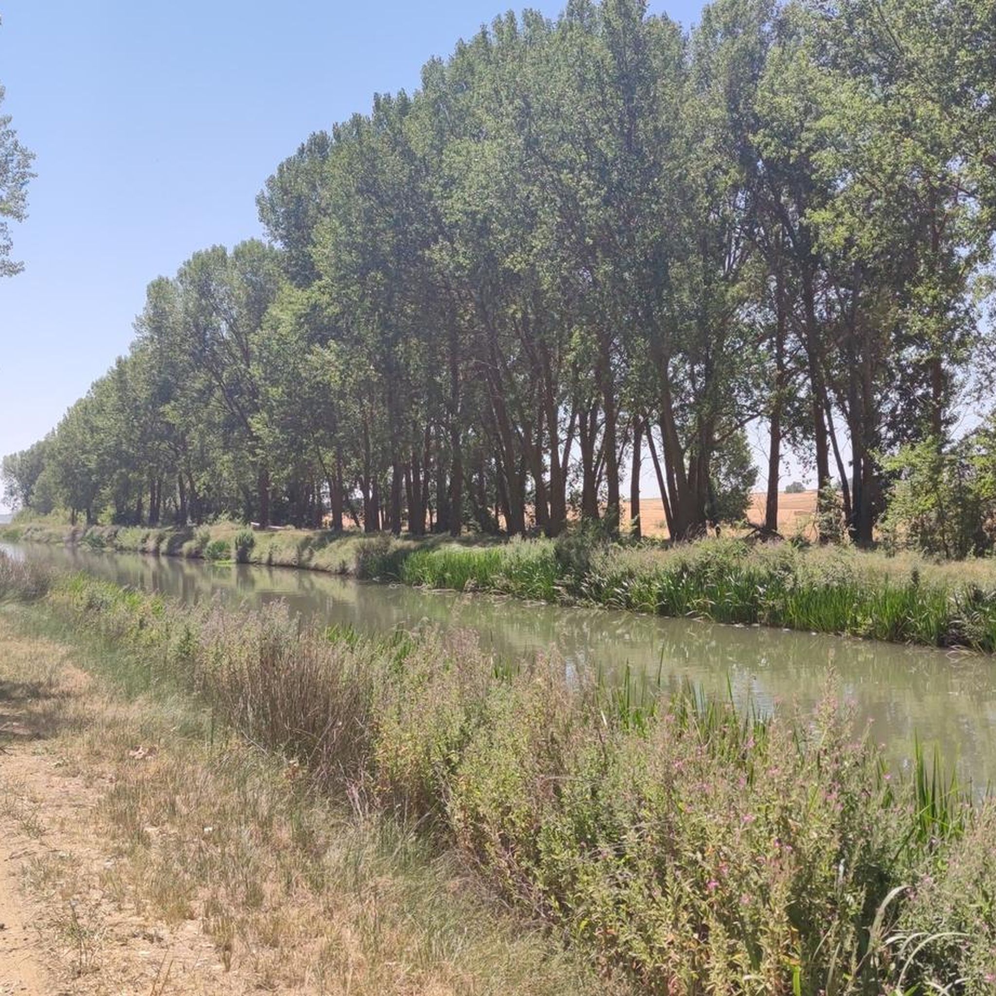
Tips from the Community

Beautiful suspension bridge as it passes through the Canal de Castilla!
0
0

A short, pleasant stretch to walk because the water cools the air a little.
1
1

The San Andrés Lock, located in Herrera de Pisuerga (Palencia), is part of the historic Canal de Castilla, one of the most important hydraulic engineering works in Spain in the 18th and 19th centuries.
1
0

The Castile Canal, whose construction began in 1753, was intended to connect Castile to the Atlantic Ocean.
7
0
The Puente del Rey is one of the most outstanding structures of the Canal de Castilla, one of the most important hydraulic engineering works in Spain. The Canal de Castilla was built between the 18th and 19th centuries with the aim of facilitating the transport of goods, especially cereals, from the interior of Castile to the ports of northern Spain.
7
0

Pleasant to walk alongside the water after a long dusty stretch, though still little in the way of shade. In the summer months you can for a small fee, catch the boat down to the locks at Fromista
4
0

San Andrés Hanging Bridge, between the banks of the Pisuerga, allows us to follow the Canal route. When you cross it it moves, it can be fun (or scary). We can see little boats passing through the river.
1
0

Stage 1. Alar del Rey/Cervera de Pisuerga 87 kilometers. 1,850 positive meters. The Canal de Castilla begins in Alar del Rey, an illustrious work of 18th century hydraulic engineering that was an important vein of communication, commerce and prosperity in much of the Castilian lands for a century. In 1860 the railway monopolized the trade in cereals, goods and minerals in the north of Castile and transport barges stopped using the canal, which continued in use until the mid-20th century, exploiting the hydraulic energy of the locks and irrigation systems. . The starting point is the dock of the old piers of the Canal de Castilla, a very pleasant place to start a gravel trip of a couple of days of bikepacking along the Palentino Romanesque Natural Path, which largely coincides with the Ruta del Coke charcoal. “Cok” or coke is a high-quality hard coal with good heat capacity that is highly appreciated in the metallurgical industry. The best coke deposits were in exclusive mines in Fuentes Carrionas and Montaña Palentina, mainly in the valleys of Mudá, Castillería and Santullán. The extracted mineral was transported by horse and cart to the piers of the Canal de Castilla bound for Valladolid and Palencia, where distribution began. The cycle tour follows the old mining road to the mountains of northern Palencia, visiting a few rural Romanesque jewels. Before leaving we passed by the milestone where the Canal de Castilla takes its water from the Pisuerga River. I discovered this beautiful river spot thirty years ago, when I cycled along the canal towpaths for the first time. Now we leave in the opposite direction following the red posts of the Nature Trail. The roads are good for gravel cycling, the relief is a bit leg-breaking and there are several hard slopes that warm up the muscles with the gravel single chainring but the surface is great. The first town is Prádanos de Ojeda, on a rural hill above extensive cereal fields that are very good for warming up the legs before the first slopes, it is the end of summer and the stubble is full of large balls of packed straw. The path crosses the Pradera de las Tortas mountain and Santibáñez de Ecla appears hidden among some hills of holm oaks and holm oaks. The church of San Juan can be seen now or in the second stage because the return track connects here. The path runs through hills populated by dense holm oak forests and passes through Villaescusa de Ecla, which has the Romanesque church of Santa Elena and in a nearby ravine the Cervigona Waterfall. The silhouette of the Palentina Mountain and the Curavacas peak draw attention on the horizon. The path jumps small hills of holm oaks and holm oaks and at the heights the view takes in the mountains of the Cantabrian Mountains of Palencia. The surface is excellent and the bikes descend at full speed to the town of Cozuelos de Ojeda. The church is monumental, Renaissance with star-crossed vaults and a Herrerian tower. Outside the church there are remains of an ancient cloud conjurer, a popular place of prayer during harvest time to keep storms and clouds or clouds away from the sky. The route leaves the urban complex of Cozuelos de Ojeda on the left and continues through some steppe hills to a plateau with good views of the mountains, from Valdecebollas to Espigüete. In the moor is the crossing of the Perazancas de Ojeda variant on the return route. The next town is Vallespinoso de Aguilar. The hermitage of Santa Cecilia, immediately standing out on a castle hill, is dated to the 12th century and was declared a historical-artistic monument in 1951. The portico has well-carved capitals and the location conveys the atmosphere of a fortress sanctuary. The path goes up a somewhat rocky slope and enters new slides in the land of Aguilar de Campoo. At the foot of Monte de la Ruya, when the hardest slope of the stage appears in front of you, the detour to Barrio de San Pedro and Barrio de Santa María, two districts of Aguilar de Campoo, comes out on the right. The descent is fantastic with views of the large lake of the Aguilar reservoir. First is Barrio de San Pedro, with a very welcoming ambushed entrance and the church of San Pedro, Romanesque from the 13th century with many later additions. And then the hermitage of Santa Eulalia, solitary next to the road, another well-preserved historical-artistic monument of the rural Romanesque of Palencia. In the town, the church of the Assumption also preserves parts of Romanesque origin.
0
0
Frequently Asked Questions
What kind of terrain can I expect on mountain bike trails around Villaprovedo?
The Villaprovedo area, situated within the Boedo-Ojeda comarca, offers a diverse landscape for mountain biking. You'll find a mix of valleys and rolling hills, often covered with oak and pine forests. The region is also shaped by several river basins, providing scenic routes along waterways. This transitional zone between flat plains and more rugged mountains means you can expect varied riding experiences, from gentler canal-side paths to more challenging forested sections.
Are there mountain bike trails suitable for beginners in Villaprovedo?
Yes, there are options for beginners. For an easier ride, consider the Lock on the Pisuerga River loop from Herrera de Pisuerga. This 14.9-mile (23.9 km) trail is rated as easy and leads through pleasant riverine landscapes, typically completed in under two hours.
What are some moderate mountain bike routes in the Villaprovedo area?
For moderate challenges, you have several excellent choices. The Canal de Castilla – The Stone Book of Frómista loop from Estación de Osorno is a popular 31.8-mile (51.1 km) path exploring the historic canal. Another moderate option is the Canal de Castilla – Osorno la Mayor loop from Estación de Osorno, which covers 23.4 miles (37.6 km). Additionally, the Osorno la Mayor loop from Estación de Osorno offers a 19.1-mile (30.7 km) moderate ride.
Are there any challenging mountain bike trails around Villaprovedo?
Yes, for experienced riders seeking a challenge, the Canal de Castilla – Lock on the Pisuerga River loop from Estación de Osorno is a difficult 48.2-mile (77.6 km) trail. It offers extensive riding along the historic Canal de Castilla and typically takes over six hours to complete.
What do other mountain bikers say about the trails in Villaprovedo?
The mountain bike trails around Villaprovedo are highly regarded by the komoot community, holding an average rating of 5.0 stars from 2 reviews. Over 40 mountain bikers have already used komoot to explore the varied terrain, often praising the scenic routes along the Canal de Castilla and through the region's forests.
Are there any circular mountain bike routes available?
Yes, all the mountain bike routes listed for the Villaprovedo area are circular loops. This includes options like the easy Lock on the Pisuerga River loop from Herrera de Pisuerga, and more challenging routes such as the Canal de Castilla – Lock on the Pisuerga River loop from Estación de Osorno.
What interesting landmarks or attractions can I see while mountain biking near Villaprovedo?
Many routes in the area follow the historic Canal de Castilla, an 18th-century engineering marvel. Along these trails, you can encounter various points of interest such as the San Andrés Sluice and the Naveros de Pisuerga Lock. You might also pass by the Canal Museum, which has a cafe and gardens, or the El Batán del Rey Ruins. The Plaza Mayor of Herrera de Pisuerga is another notable spot in a nearby town.
What is the best time of year to go mountain biking in Villaprovedo?
Villaprovedo, located at 855 meters elevation, experiences a continental climate. Spring and autumn generally offer the most pleasant conditions for mountain biking, with milder temperatures and beautiful scenery. While summer can be warm, the varied terrain with oak and pine forests can provide some shade. Winter conditions might include colder temperatures, but specific trail conditions would depend on local weather patterns.
Is the Villaprovedo region known for any specific natural features that enhance mountain biking?
Yes, the Boedo-Ojeda comarca, where Villaprovedo is located, is characterized by a landscape of valleys and rolling hills, providing natural ascents and descents. The presence of oak and pine forests offers shaded sections and scenic views. Additionally, several river basins irrigate the region, creating picturesque routes along waterways, such as those found along the Boedo river and the Canal de Castilla.
Are there opportunities to combine mountain biking with cultural exploration in Villaprovedo?
Absolutely. The Boedo-Ojeda comarca is rich in Romanesque heritage, with numerous ancient churches and monasteries scattered throughout the region. Many mountain bike routes, particularly those along the Canal de Castilla, pass near historical sites and charming villages, allowing you to combine your ride with cultural stops and explore the local history and architecture.
How many mountain bike trails are available on komoot for the Villaprovedo area?
There are 5 mountain bike trails detailed on komoot for the Villaprovedo area. These routes offer a range of difficulties, from easy to difficult, catering to various skill levels.
Most popular routes around Villaprovedo
Most popular attractions around Villaprovedo

Get inspired with the komoot mobile app


Explore more
Browse the best MTB trails in other regions.
