The best running trails around Fiume Metauro
4.4
(38)
3,803
runners
183
runs
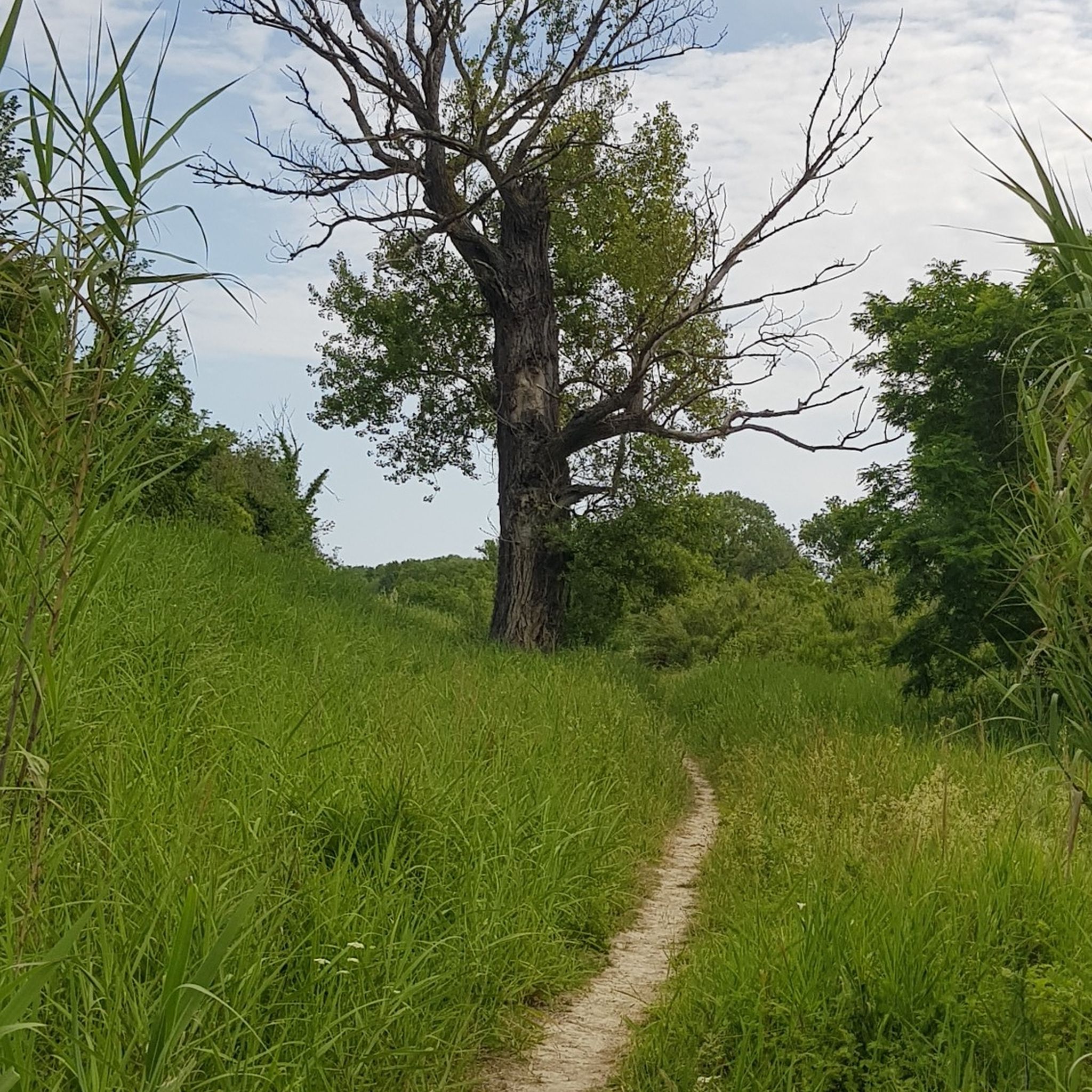
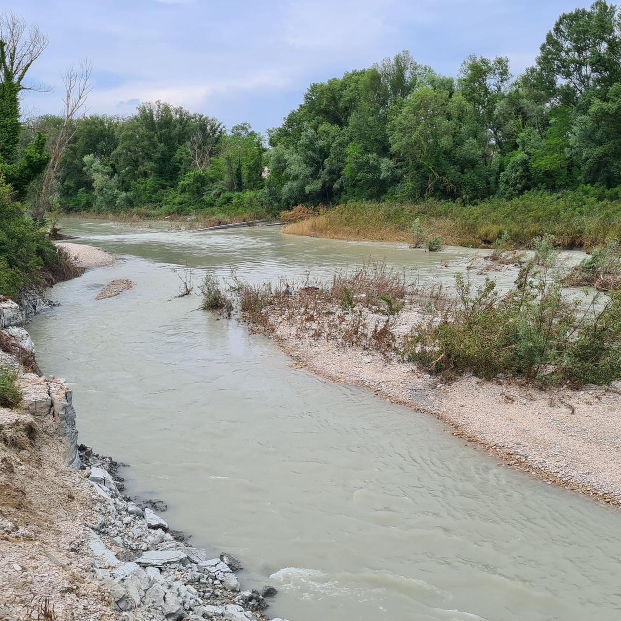
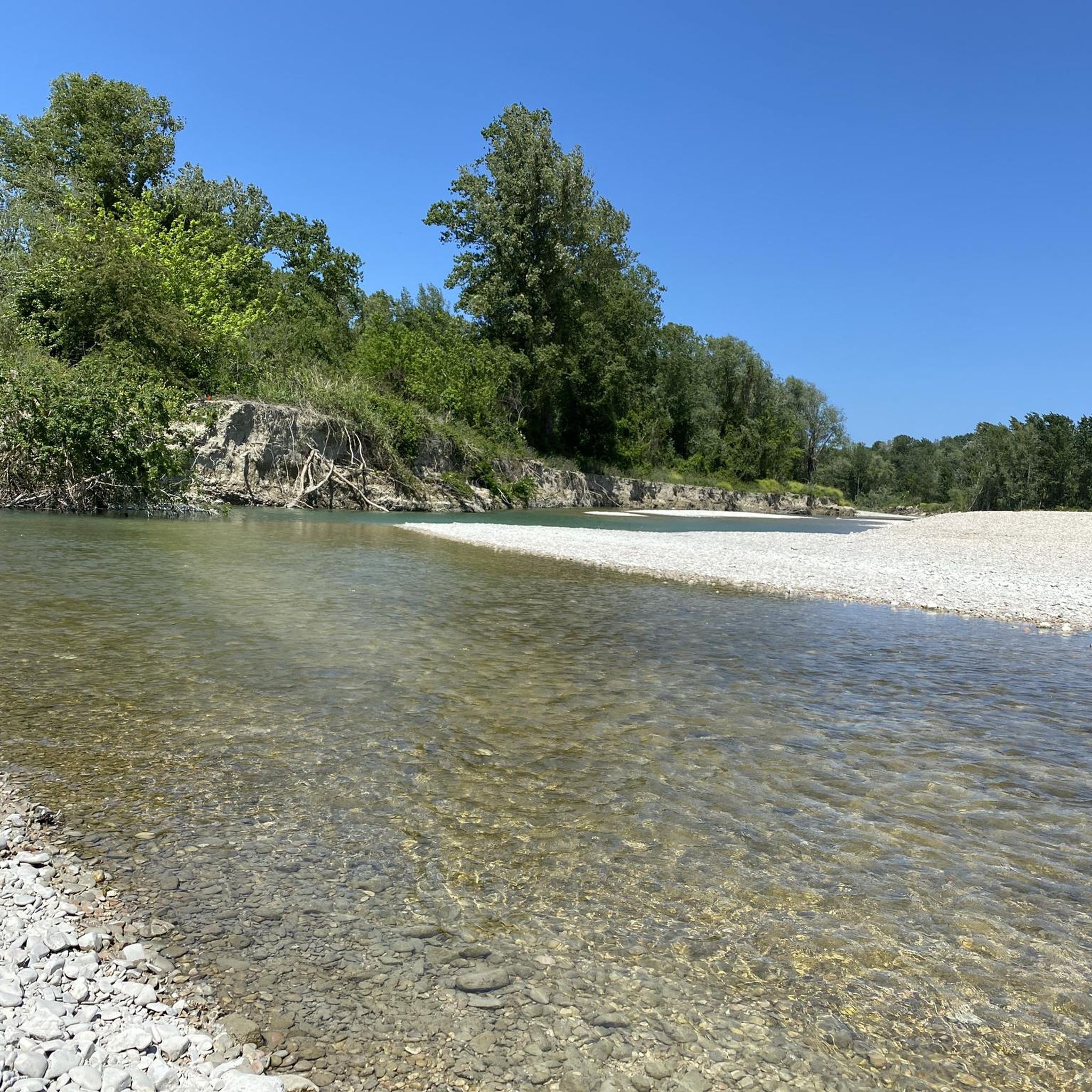
Jogging routes Fiume Metauro traverse a diverse landscape shaped by the Metauro river, which flows through mountains, rolling hills, and fertile plains. The region features striking natural landmarks like the Gola del Furlo canyon and pristine riparian forests with small lakes and ponds. Paths often follow the river, offering a mix of gravelly riverbeds and well-maintained trail networks suitable for running. The terrain includes both flat sections along the river and more undulating routes through the upper Metauro Valley.
Best…
Last updated: July 13, 2026
168
runners
71.7km
07:43
870m
870m
Hard run. Very good fitness required. Mostly paved surfaces. Suitable for all skill levels.
5
runners
5.54km
00:35
10m
10m
Moderate run. Good fitness required. Mostly paved surfaces. Suitable for all skill levels.

Sign up for free
4
runners
4.93km
00:30
10m
10m
Easy run. Great for any fitness level. Mostly paved surfaces. Suitable for all skill levels.
3.0
(1)
95
runners
Moderate run. Good fitness required. Mostly paved surfaces. Suitable for all skill levels.
37
runners
Moderate run. Good fitness required. Mostly paved surfaces. Suitable for all skill levels.
Get access to more routes and recommendations from other explorers.
Sign up for free
Already have an account?
Our route recommendations are based on thousands of hikes, rides, and runs completed by other people on komoot.
Start today with a free account
Your next adventure awaits.
Login or Signup

Tips from the Community

Great for track training
0
0

Under the tower there is a bar where you can get supplies
0
0

Nice stretch of very busy cycle/pedestrian path, a moderate pace is recommended
0
0

In 30 years we will still be like this. To go from Fano to Marotta there is no cycle path and for a long stretch you have to travel on the state road to try to be killed! Shame on politicians from the Marche and the Marche region
0
0


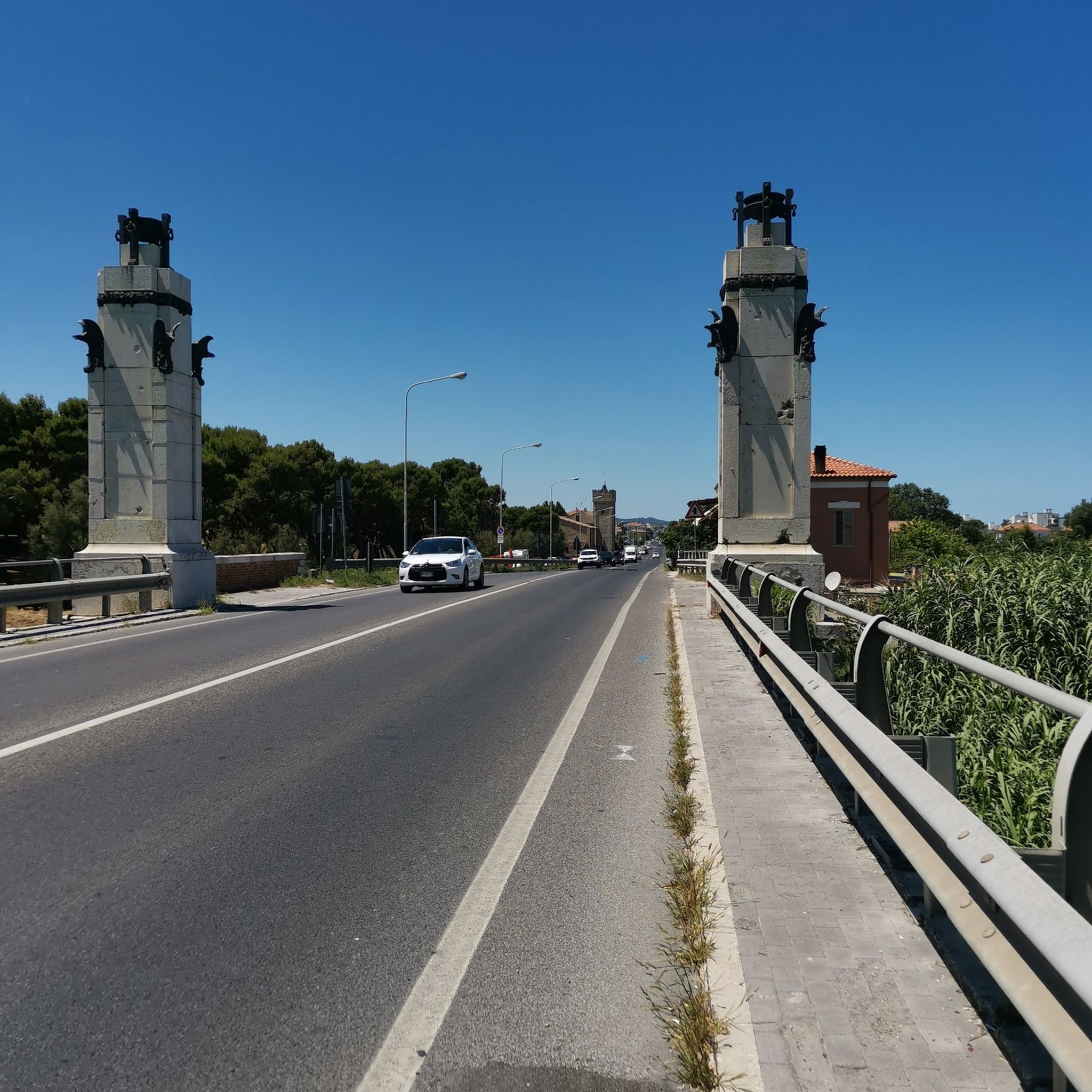
You cross the canal port with the "Moses" bridge on the cycle path
0
0
The "Fanum Fortunae" as it was known in ancient times stood at the end of the Via Flaminia.
0
0
Frequently Asked Questions
How many running routes are available in the Fiume Metauro region?
The Fiume Metauro region offers a wide variety of running routes, with over 175 trails available on komoot. These range from easy, flat paths along the river to more challenging routes through the rolling hills.
What kind of terrain can I expect on the running trails in Fiume Metauro?
The terrain in Fiume Metauro is quite diverse. You'll find paths along the Metauro river that feature gravelly riverbeds and well-maintained trails. The region also includes rolling hills and coastal sections near the river's mouth, offering a mix of flat and undulating surfaces. Many paths are described as 'easily passable' or 'mostly accessible'.
Are there easy running routes suitable for beginners in Fiume Metauro?
Yes, Fiume Metauro has several easy running routes perfect for beginners. There are at least 10 routes classified as easy, often found along the flatter sections of the river or near urban green spaces. These paths provide a gentle introduction to running in the area.
What do other runners enjoy most about the trails in Fiume Metauro?
The running routes in Fiume Metauro are highly rated by the komoot community, with an average score of 4.2 stars from over 26 reviews. Runners often praise the diverse scenery, from the tranquil river environments to the picturesque rolling hills and coastal views. The variety of terrain and accessibility for different fitness levels are also frequently highlighted.
Are there any circular running routes in Fiume Metauro?
Yes, many of the running routes in Fiume Metauro are circular, allowing you to start and finish at the same point. For example, the Running loop from La Pecora Nera and the Running loop from Stadio Raffaele Mancini are popular moderate circular options. Another great choice is the Faro di Fano loop from Fano, which takes you through coastal areas.
Can I find running routes with scenic viewpoints in the Fiume Metauro region?
Absolutely. The Fiume Metauro region offers numerous panoramic views, especially in the upper Metauro Valley with its lush forests and green hills. Trails along the river also provide picturesque vistas of the water and surrounding natural landscapes. While specific viewpoints aren't always marked, the diverse scenery ensures many opportunities for scenic running.
Are there any historical or natural landmarks I can see while running in Fiume Metauro?
Yes, the Fiume Metauro area is rich in both natural beauty and historical sites. You can run past striking natural landmarks like the Gola del Furlo canyon, known for its impressive rock formations. The river also flows through charming historical villages such as Fossombrone and Fano, and you might encounter notable historical sites like the ancient Roman bridge Pontesasso or the Castello di Cagli near some routes.
Are there running routes suitable for families in Fiume Metauro?
Many of the easier and moderate routes along the river are suitable for families, especially those with well-maintained surfaces and minimal elevation gain. The 'easily passable' nature of many trails, particularly in the lower sections of the river, makes them ideal for a family outing. Look for routes with lower difficulty ratings for the best family experience.
Are there any running trails that are dog-friendly in Fiume Metauro?
While specific dog-friendly designations vary, many natural trails and paths in the Fiume Metauro region are generally suitable for running with dogs, provided they are kept under control. The extensive network of trails through forests, along the river, and in open countryside offers plenty of space for you and your canine companion to enjoy. Always check local regulations and be mindful of wildlife.
What are some longer running routes for experienced runners in Fiume Metauro?
For experienced runners looking for longer distances, routes like the Ipogeo di Piagge loop from Cerasa offer a good challenge, covering nearly 10 km with more significant elevation gain. The region also has 25 routes classified as difficult, providing options for those seeking more demanding runs through varied terrain.
Are there running routes near the coast in Fiume Metauro?
Yes, the Fiume Metauro flows towards the Adriatic Sea, and you can find running routes near its mouth. The Faro di Fano loop from Fano is a prime example, leading through coastal areas and offering views of the sea, often completed in about 55 minutes.
What is the typical elevation gain on running routes in Fiume Metauro?
Elevation gain varies significantly across the Fiume Metauro region. Many routes along the river are relatively flat, with minimal elevation changes, such as the Running loop from La Pecora Nera which has only about 14 meters of ascent. However, routes in the upper Metauro Valley or those classified as difficult can feature more substantial climbs, like the Ipogeo di Piagge loop from Cerasa with nearly 200 meters of elevation gain.
Most popular routes around Fiume Metauro

Get inspired with the komoot mobile app


Explore more
Browse the best Running Trails & Routes in other regions.
