The best walks and hikes around Melgar De Arriba
4.1
(22)
138
hikers
4
hikes
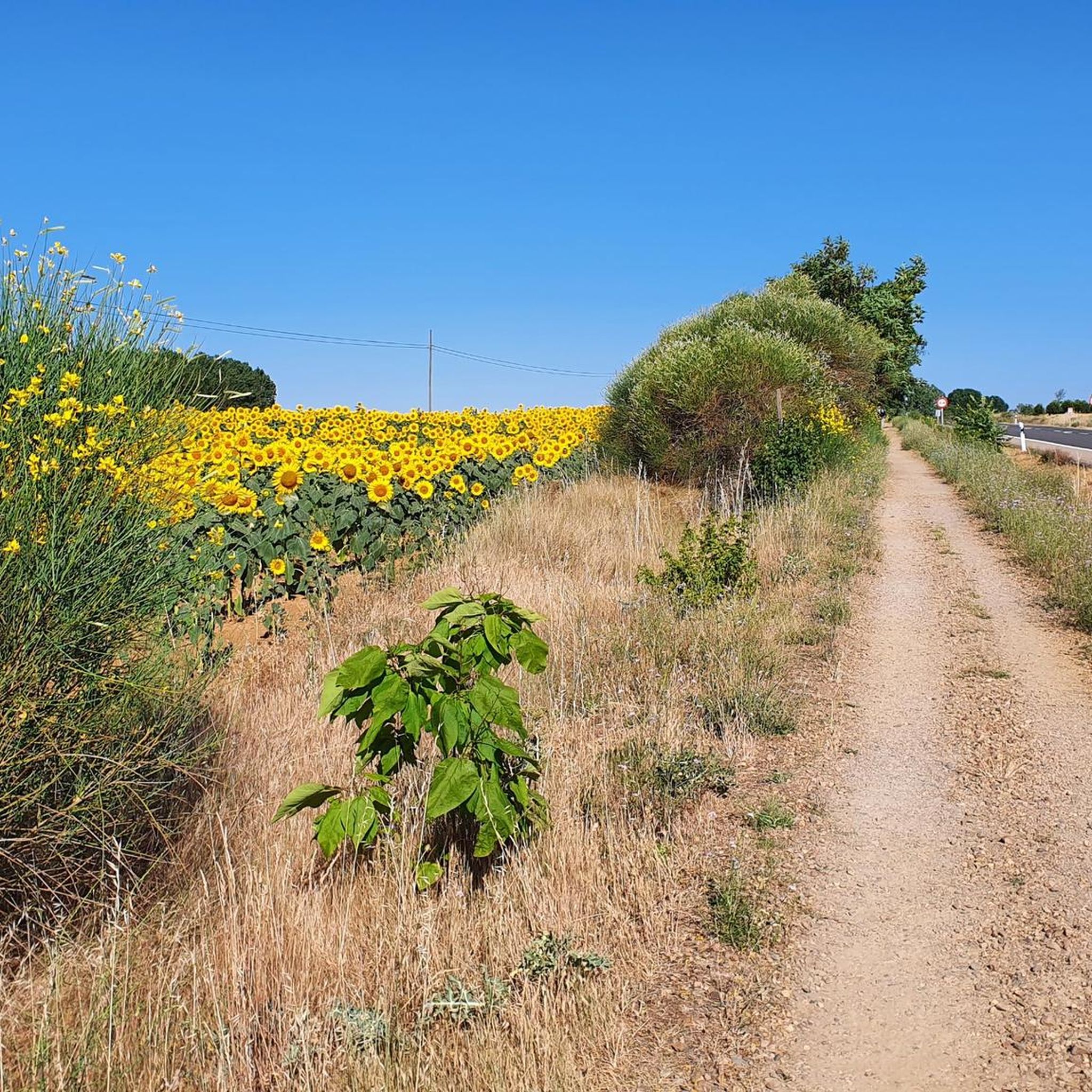
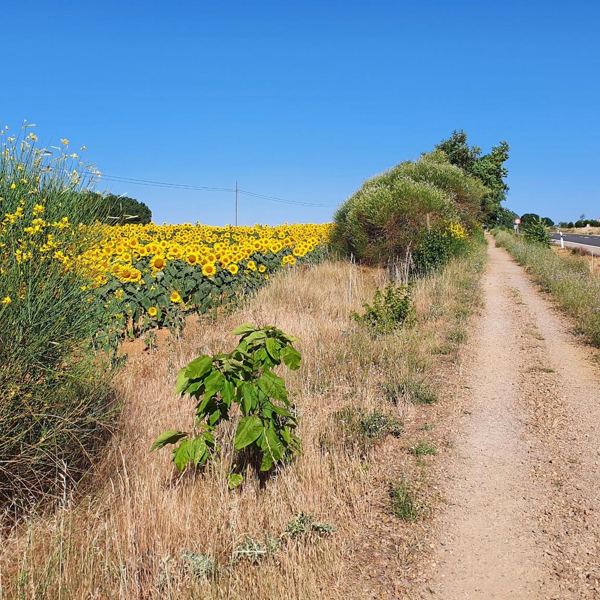
Hiking around Melgar De Arriba offers exploration of the Tierra de Campos region, characterized by its agricultural landscapes and vast horizons. The area features the Ribera Forest along the Cea River, providing refreshing riverside paths with ash and poplar trees. Hikers can also encounter traditional mud dovecotes (palomares) and sections of the historic Cañada Zamorana, an ancient cattle trail. The terrain generally presents subtle elevation changes, making it accessible for various hiking experiences.
Best hiking trails around Melgar De Arriba
…Last updated: July 7, 2026
5.0
(1)
1
hikers
17.0km
04:24
100m
100m
Moderate hike. Good fitness required. Easily-accessible paths. Suitable for all skill levels.
1
hikers
9.93km
02:35
60m
60m
Moderate hike. Good fitness required. Easily-accessible paths. Suitable for all skill levels.

Sign up for free
1
hikers
12.6km
03:16
70m
70m
Moderate hike. Good fitness required. Easily-accessible paths. Suitable for all skill levels.
16.0km
04:08
80m
80m
Moderate hike. Good fitness required. Easily-accessible paths. Suitable for all skill levels.
Hard hike. Very good fitness required. Easily-accessible paths. Suitable for all skill levels.
Our route recommendations are based on thousands of hikes, rides, and runs completed by other people on komoot.
Start today with a free account
Your next adventure awaits.
Login or Signup
Popular around Melgar De Arriba

Tips from the Community

“From gentle rural tracks, you reach this imposing 16th-century artillery fortress. It has a square layout with towers and sloping walls; it preserves loopholes, spiral staircases, and a complete structure. A perfect stop with cultural interest and beautiful panoramic views of Tierra de Campos.” Add this stop to short circular routes (~30 km). Comfortable terrain, good terrain for riding, and stress-free. It fits perfectly with the other stops: Lancia, Torre Almanza, and Ermita Virgen de la Guía.
0
0

The Hermitage of the Virgin of the Bridge is a historic gem located about three kilometers east of Sahagún, in the province of León. Built in the 13th century, the hermitage is an example of the Mudejar style, characterized by its blend of Christian and Islamic elements. It's a place steeped in history and tradition, perfect for a visit if you're in the area.
7
0

The Arco de San Benito is an impressive monument in Sahagún, located in the region of Castilla y León, Spain. It was built around 1662 by the architect Felipe Berrojo to replace the old Romanesque portal of the Monasterio de San Benito. The arch is designed as a triumphal arch, under which the N-120 passes, and is also known as "la puerta de Sahagún" (the gate of Sahagún). The monument is richly decorated with a central shield, inscriptions and sculptures of Saints Facundo and Primitivo. At the top is the royal shield, and there are also sculptures of Alfonso III and Alfonso VI, who were important protectors of the monastery.
8
0
The Ermita de La Virgen del Puente is a 13th-century Mudéjar hermitage located about three kilometres east of Sahagún, on the Camino Francés of the Camino de Santiago. The building stands next to a bridge over the Valderaduey River, hence its name. It has a single nave and a small choir with a semicircular apse, cipher arcades and corner friezes. It was once a hospital for pilgrims and lepers and is now used for the annual San Marcos festival with the famous Tantáriga dance.
3
0
The Arch" author Manuel García Juan. This mural shows two unmistakable symbols of Sahagún, a pilgrim, who represents those who cross the streets throughout the year, and the Arch of San Benito, the entrance door to the Monastery of San Benito that remains open as a symbol of invitation. Year 2020
3
1
Sahagún is a charming town and municipality in the province of León, in the autonomous community of Castile and León, and is an important point on the Santiago de Compostela pilgrimage route. Sahagún is known for its rich history and beautiful architecture, including some of the earliest examples of the Mudejar style. The town also has a number of medieval churches from the 12th and 13th centuries. One of the most notable historical events is the Battle of Sahagún in 1808, where the British light cavalry won a victory over the French troops. The town is also famous for its former Benedictine monastery, which played an important role in the Santiago de Compostela pilgrimages. Although the monastery was dissolved and largely demolished in the 19th century, it remains an important part of Sahagún's history.
3
1
"El Arco, un peregrino y el Arco de San Benito.": Tribute to the pilgrim and the Arch of San Benito that shines in a mural of 150 square meters in the area of the Arch of San Benito.
3
1

The painting shows a pilgrim walking through the city gate of Sahagun.
3
1
Frequently Asked Questions
What kind of landscapes can I expect to see while hiking around Melgar de Arriba?
Hiking around Melgar de Arriba offers a diverse experience. You'll traverse the unique agricultural plains of the Tierra de Campos region, known for its vast horizons. Additionally, the
Ribera Forest along the Cea River provides refreshing riverside paths with lush alameda groves, ash, and poplar trees. Keep an eye out for traditional mud dovecotes (palomares) scattered across the landscape, adding a cultural touch to your walk.
Are there any easy hiking trails suitable for beginners or families?
While most routes around Melgar de Arriba are rated moderate, their relatively flat terrain and subtle elevation changes make them accessible for many. For example, the Camino Francés: Sahagún Loop is a moderate 9.9 km path that offers a blend of cultural and natural scenery without significant difficulty, making it a good option for those looking for a manageable walk.
What historical or cultural landmarks can I discover on a hike?
The region is rich in history. You can encounter sections of the historic Cañada Zamorana, an ancient cattle trail, or parts of the Camino Francés. Notable landmarks include the San Benito Arch and Ruins of the Monastery of San Benito in Sahagún, known for its Mudejar art. The beautifully located Hermitage of Our Lady of Perales is another religious site that can be integrated into longer itineraries.
Are there any viewpoints along the hiking routes in Melgar de Arriba?
Yes, several viewpoints offer panoramic vistas of the surrounding area. The tower of the Church of Santiago in Melgar de Arriba provides a great spot to appreciate the landscape. In nearby Melgar de Abajo, you can find a viewpoint above the old wineries and another next to the Romanesque apse of the church of San Gervasio.
What is the best time of year to go hiking in Melgar de Arriba?
The best time for hiking in Melgar de Arriba is generally during spring and autumn when temperatures are milder and the natural scenery is at its most vibrant. Spring brings blooming wildflowers, while autumn offers pleasant weather and beautiful fall colors, especially along the riverside paths. Summers can be hot, and winters can be chilly, so plan accordingly.
Are there any circular hiking routes available?
Yes, there are several circular routes to enjoy. For instance, the Grajal de Campos from Sahagún – circular by the río Cea is a popular 17.0 km trail that follows the Cea River. Another option is the Madrid Way of Saint James: Grajal de Campos Loop, offering a 16.0 km circular experience.
What do other hikers say about the trails in Melgar de Arriba?
The hiking trails around Melgar de Arriba are highly regarded by the komoot community, with an average rating of 4.7 stars from over 10 reviews. Hikers often praise the peaceful riverside walks, the unique agricultural scenery of Tierra de Campos, and the opportunity to explore historical elements like the ancient cattle trails and traditional dovecotes.
Are there opportunities for birdwatching while hiking?
Absolutely. Part of Melgar de Arriba's municipal territory is within the "La Nava - Campos Norte" Special Protection Area for Birds (ZEPA), under the Natura 2000 network. This designation highlights the area's ecological importance, offering excellent opportunities for birdwatching enthusiasts to combine their passion with hiking, especially along the Cea River and in the open plains.
What is the typical terrain like on the hiking trails?
The terrain around Melgar de Arriba is generally characterized by the open agricultural plains of Tierra de Campos, which feature subtle elevation changes. Along the Cea River, you'll find more shaded, softer paths through the Ribera Forest. Expect a mix of dirt tracks, rural roads, and riverside trails, all offering a relatively gentle hiking experience.
Are there any longer or more challenging routes for experienced hikers?
For those seeking a longer and more challenging experience, the Arenillas de Valderaduey from Grajal de Campos — circular by the Ruta Jacobea Madrileña is a difficult-rated trail spanning approximately 22.4 km. This route offers a more extensive exploration of the region's landscapes and historical paths.
Can I find routes that follow the Cea River?
Yes, the Cea River is a central feature of many hiking routes in the area. Trails like the Sahagún — circular by the river Cea – the Jacobean route lead through beautiful riverside landscapes, offering refreshing paths under the shade of ash and poplar trees in the Ribera Forest.
Are there any old mills or ruins to see along the trails?
Yes, the remains of old flour mills can be discovered along the Cea River. These historical features, including one that once provided electricity to the village, add an interesting element to your hike and offer a glimpse into the region's past industrial heritage.
Most popular routes around Melgar De Arriba
Most popular attractions around Melgar De Arriba

Get inspired with the komoot mobile app


Explore more
Browse the best Hikes in other regions.
