The best MTB trails around Algatocín
3.8
(12)
158
riders
18
rides
Mountain biking around Algatocín offers routes through the rugged terrain of Andalusia, characterized by rolling hills, deep valleys, and forested areas. The region features a mix of challenging climbs and scenic descents, often passing through natural parks and rural landscapes. Trails frequently connect small villages and offer views of the surrounding mountains and river systems. The varied topography provides diverse mountain biking experiences for different skill levels.
Best mountain bike trails around Algatocín
- The most popular mountain bike trail is…
Last updated: July 4, 2026
78
riders
68.1km
07:02
1,850m
1,850m
Hard mountain bike ride. Very good fitness required. Advanced riding skills necessary. Some portions of the route may require you to push your bike.
9
riders
38.7km
03:21
800m
800m
Moderate mountain bike ride. Good fitness required. Advanced riding skills necessary.

Sign up for free
8
riders
68.3km
06:19
1,480m
1,480m
Hard mountain bike ride. Very good fitness required. Advanced riding skills necessary. Some portions of the route may require you to push your bike.
4.5
(2)
5
riders
19.4km
02:07
700m
690m
Moderate mountain bike ride. Good fitness required. Suitable for all skill levels.
2.0
(1)
3
riders
54.4km
04:49
1,190m
1,190m
Hard mountain bike ride. Very good fitness required. Advanced riding skills necessary.
Get access to more routes and recommendations from other explorers.
Sign up for free
Already have an account?
Our route recommendations are based on thousands of hikes, rides, and runs completed by other people on komoot.
Start today with a free account
Your next adventure awaits.
Login or Signup
Tips from the Community


The cave was created out of necessity. The Sierra del Algarrobo blocks the Gaduares river, forcing the river to erode the rocks to find a way out. The resulting cave complex is nothing short of spectacular. The Cueva del Gato, 17 meters wide and 25 meters high, offers a hollowed-out natural space, where the Gaduares river re-emerges and joins the Guadiaro river. The main passage is over 4 km long. During the drier seasons, 25 individual lakes appear in the cave complex. The longest of these is the so-called Storm Cape and is 114 meters long. The lakes can only be crossed by swimming. The cave has a length of just over 8 km, but you are not allowed to enter it.
0
0

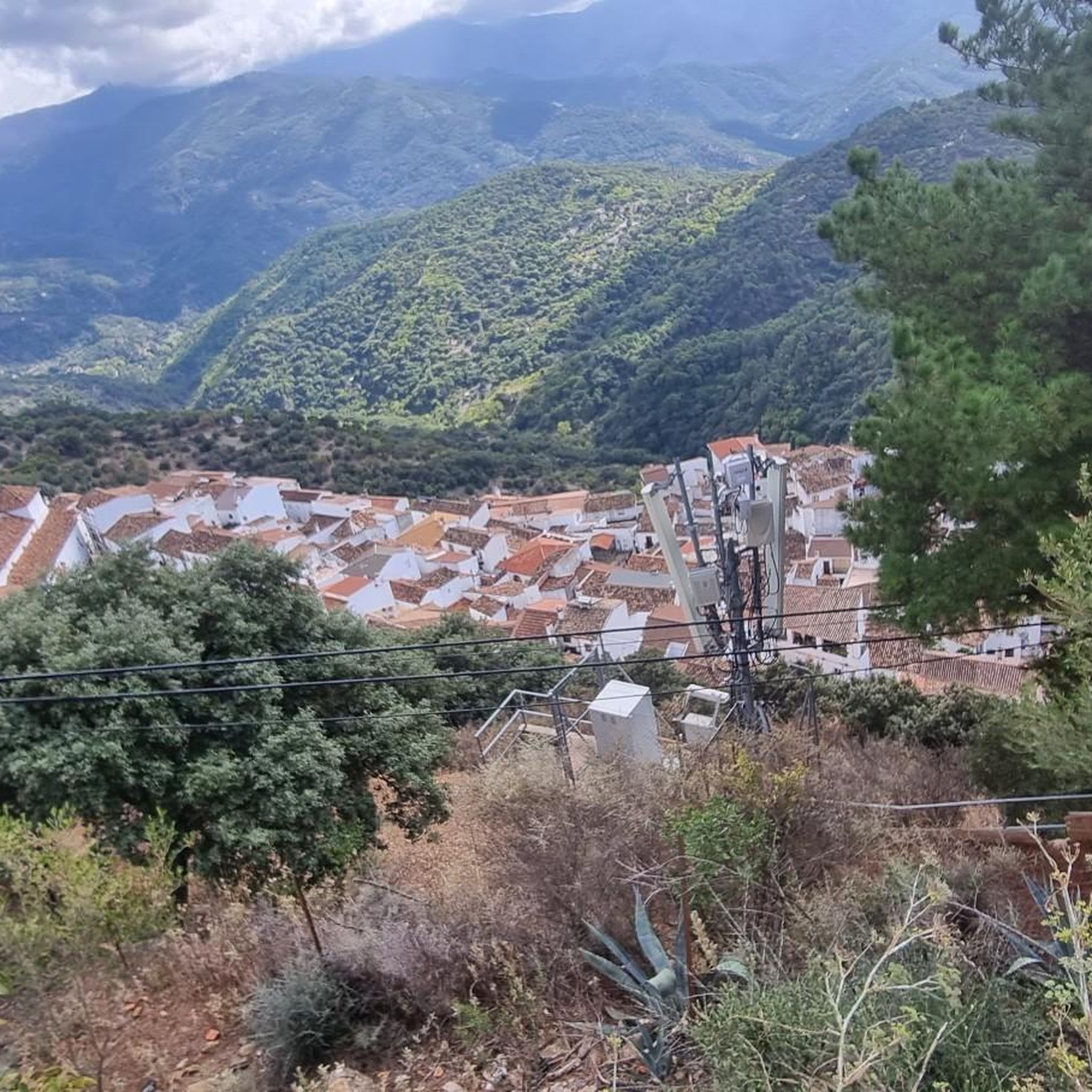
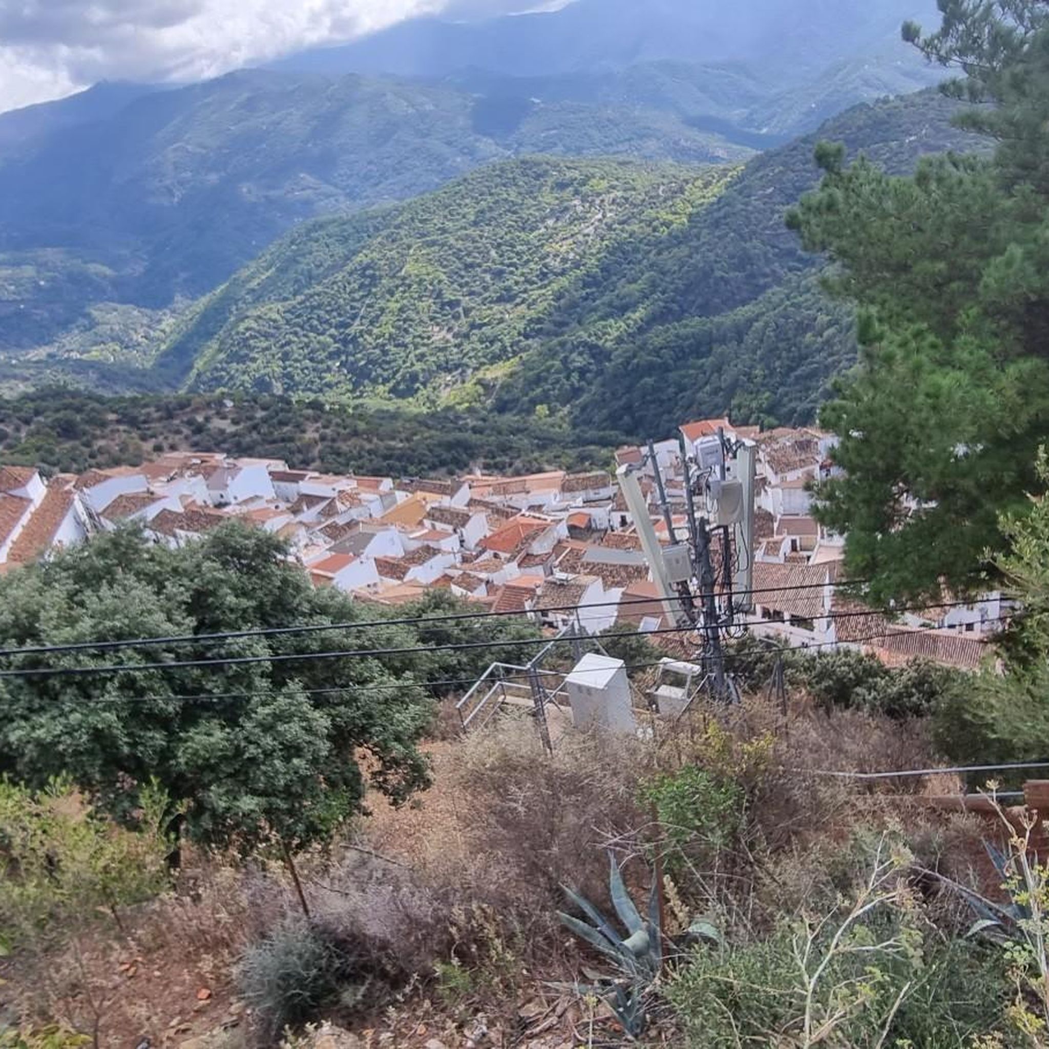
Highlights include the ruins of the Castillo del Águila fortress, the 16th century parish church of San Sebastián, the Vera Cruz chapel, the Fuente de los seis Caños fountain and the Santo Niño chapel, all within a pleasant walk. Then a break at Casa Antonia - perfect.
2
0


In this area of the mountains you will have the opportunity to contemplate the presence of cattle among holm oaks and cork oaks. It is possible that throughout your journey you will have to cross cattle fields that are accessed through a gate, if this is the case, remember to close it after you pass.
0
0

This wonderful place has been declared a Natural Monument and rightly so. It is a cave with a natural waterfall that marks the exit of the Guadares river after its course hides within the rock, traveling through caves and underground galleries for almost 4 kilometers from the site known as Hundidero del Gato upstream. Here you will also find a picnic area and benches, making it the ideal place for a break and to appreciate this wonderful environment. Take care and respect the signs, entering the cave is prohibited.
2
0

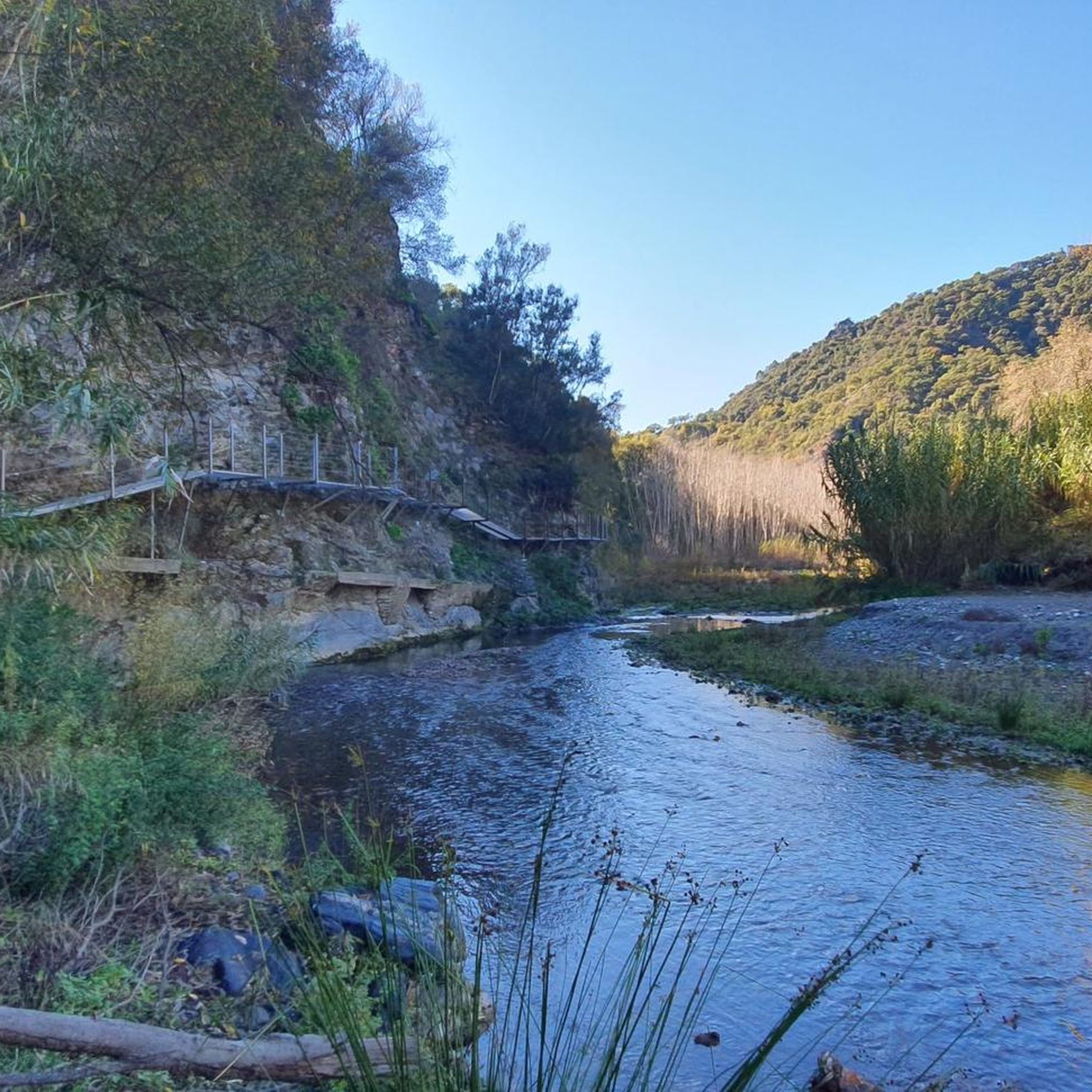
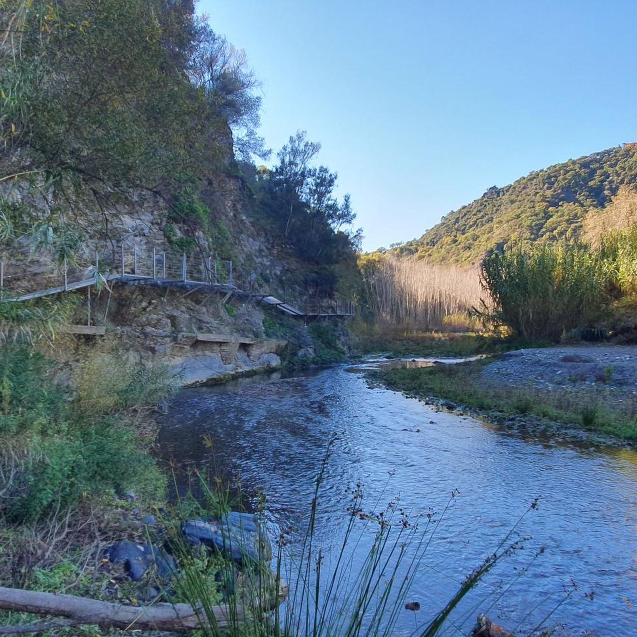
Pleasant place to take a bath in the Guadiaro river near Benaoján
1
0
Frequently Asked Questions
What is the general difficulty level of mountain bike trails around Algatocín?
Mountain biking around Algatocín is primarily geared towards experienced riders. Out of 16 available routes, 11 are classified as difficult, and 5 as moderate. There are no easy trails listed, indicating a challenging terrain with significant elevation changes.
Are there any family-friendly mountain bike trails in Algatocín?
Given the predominantly difficult and moderate classification of trails in Algatocín, dedicated family-friendly mountain bike routes are not readily available. The terrain often involves challenging climbs and descents, making it more suitable for experienced riders.
What kind of terrain can I expect on mountain bike trails in Algatocín?
The region offers rugged terrain characterized by rolling hills, deep valleys, and forested areas. Trails frequently navigate through natural parks and rural landscapes, often connecting small villages and providing extensive views of the surrounding mountains and river systems. Expect a mix of challenging climbs and scenic descents.
What is the best time of year for mountain biking in Algatocín?
Andalusia generally experiences hot summers, so spring (March to May) and autumn (September to November) are typically the most pleasant seasons for mountain biking in Algatocín. During these times, temperatures are milder, and the natural landscape is vibrant. Winter can also be suitable, though some higher elevation routes might be cooler.
Are there any circular mountain bike routes in Algatocín?
Yes, many of the mountain bike routes around Algatocín are designed as loops. For example, the moderate Cat Cave – Charco de la Barranca loop from Cortes de la Frontera is a popular circular option. Another challenging loop is Lobero Bridge – View of El Colmenar loop from Cortes de la Frontera.
What can I see along the mountain bike trails in Algatocín?
The trails often pass through scenic natural areas and near historical sites. You might encounter natural monuments like Puente de los Alemanes or even the unique Karstic Formations of El Torcal de Antequera. Some routes also lead past charming settlements such as Gaucín or the distinctive Júzcar, the Blue Village.
Are there any viewpoints or scenic spots on the mountain bike trails?
Yes, the mountainous topography of Algatocín means many trails offer panoramic views. Routes like Puerto de la Corchuela – Puerto de la Calderona loop from Cortes de la Frontera navigate through mountain passes, providing extensive vistas of the landscape. The Lobero Bridge – View of El Colmenar loop from Cortes de la Frontera also features significant elevation changes and panoramic views.
Are there opportunities for wild swimming near the mountain bike trails?
Yes, the region offers natural swimming spots. For instance, the Cat Cave – Charco de la Barranca loop from Cortes de la Frontera leads through varied terrain including natural pools. You can also find the Río Hozgarganta Swimming Spot nearby, which is a popular natural monument.
What do other mountain bikers enjoy most about mountain biking in Algatocín?
The area is highly rated by the komoot community, with an average score of 3.9 stars from over 8 reviews. Reviewers often praise the challenging and varied terrain, the stunning panoramic views, and the opportunity to explore rural landscapes and connect small villages.
Where can I find parking for mountain biking in Algatocín?
As Algatocín is a rural area, parking is generally available in or near the villages where trails begin. Look for designated parking areas in towns like Cortes de la Frontera or Benarrabá, which serve as common starting points for many routes. Always ensure you park responsibly and respect local regulations.
Are there less crowded mountain bike trails in Algatocín?
While some popular routes might see more traffic, the region offers 16 distinct trails, many of which traverse remote and rugged landscapes. To find less crowded options, consider exploring some of the more challenging routes or those that start from smaller, less frequented villages, such as the Benarrabá – Espino Pass loop from Benarrabá.
Most popular attractions around Algatocín

Get inspired with the komoot mobile app


Explore more
Browse the best MTB trails in other regions.
