The best walks and hikes around Bustares
4.7
(8)
52
hikers
10
hikes
Hiking around Bustares offers access to the diverse landscapes of the Sierra Norte de Guadalajara, characterized by mountain ranges, river gorges, and historic villages. The region features prominent peaks like Alto Rey Peak, which reaches 1,858 meters, providing significant elevation changes for hikers. Natural features include the Barranco del Río Bornova and the Río Pera Galena, contributing to varied terrain. This area provides a tranquil setting for outdoor activities, with trails winding through both natural and historically significant areas.
Best…
Last updated: July 2, 2026
5.0
(1)
11
hikers
9.63km
02:38
150m
150m
Moderate hike. Good fitness required. Easily-accessible paths. Suitable for all skill levels.
3
hikers
16.4km
05:30
630m
640m
Hard hike. Very good fitness required. Mostly accessible paths. Sure-footedness required.

Sign up for free
25.5km
07:18
550m
550m
Hard hike. Very good fitness required. Mostly accessible paths. Sure-footedness required.
4.3
(3)
15
hikers
Hard hike. Very good fitness required. Easily-accessible paths. Suitable for all skill levels.
4.0
(1)
4
hikers
9.43km
02:52
210m
210m
Moderate hike. Good fitness required. Mostly accessible paths. Sure-footedness required.
Get access to more routes and recommendations from other explorers.
Sign up for free
Already have an account?
Our route recommendations are based on thousands of hikes, rides, and runs completed by other people on komoot.
Start today with a free account
Your next adventure awaits.
Login or Signup
Popular around Bustares
Tips from the Community

What to see 🧭 “El País de la Plata” Interpretation Center Interactive museum about local mining, open Saturdays and Sundays from 12:00 to 14:00. General admission approx. €2, free for residents and children under 14. ⛪ Santa Cecilia Parish Church 19th-century building constructed during the mining boom, with a single nave and a simple transept. 🏗️ Mining and Industrial Heritage More than 200 shafts/mines, such as Santa Catalina, Santa Teresa, Mala Noche, Fuerza, etc. Remains of ore-washing facilities like San Carlos, ruined industrial sites, and power plants.
4
0
A village in the Sierra Norte of Guadalajara, at an altitude of approximately 1,084 meters. Its origins are medieval, possibly predating the Bronze Age. The name derives from the Arabic Hisn al-Ancina (“castle of the holm oak”). In 1844, the discovery of silver triggered a “silver rush,” transforming Hiendelaencina into a major 19th-century mining district, with up to 200 mines and a population that reached 5,000. A parish church dedicated to Saint Cecilia was built between 1848 and 1851, financed with funds from the mining town.
4
0

On the Cañamares River
0
0

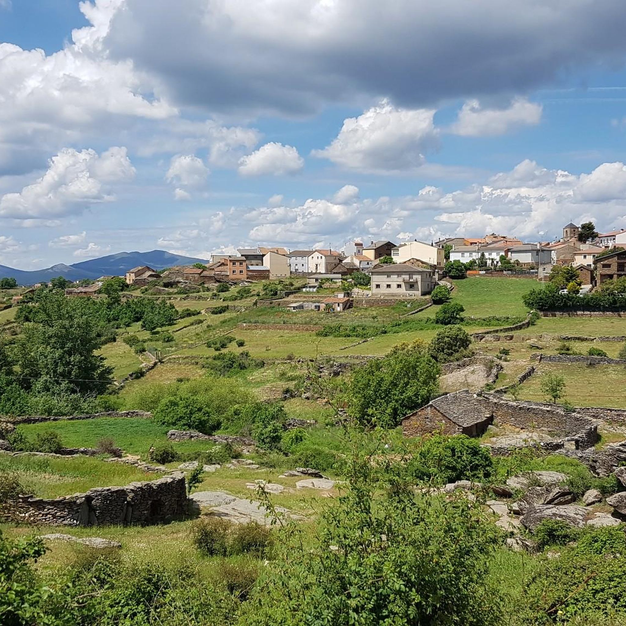
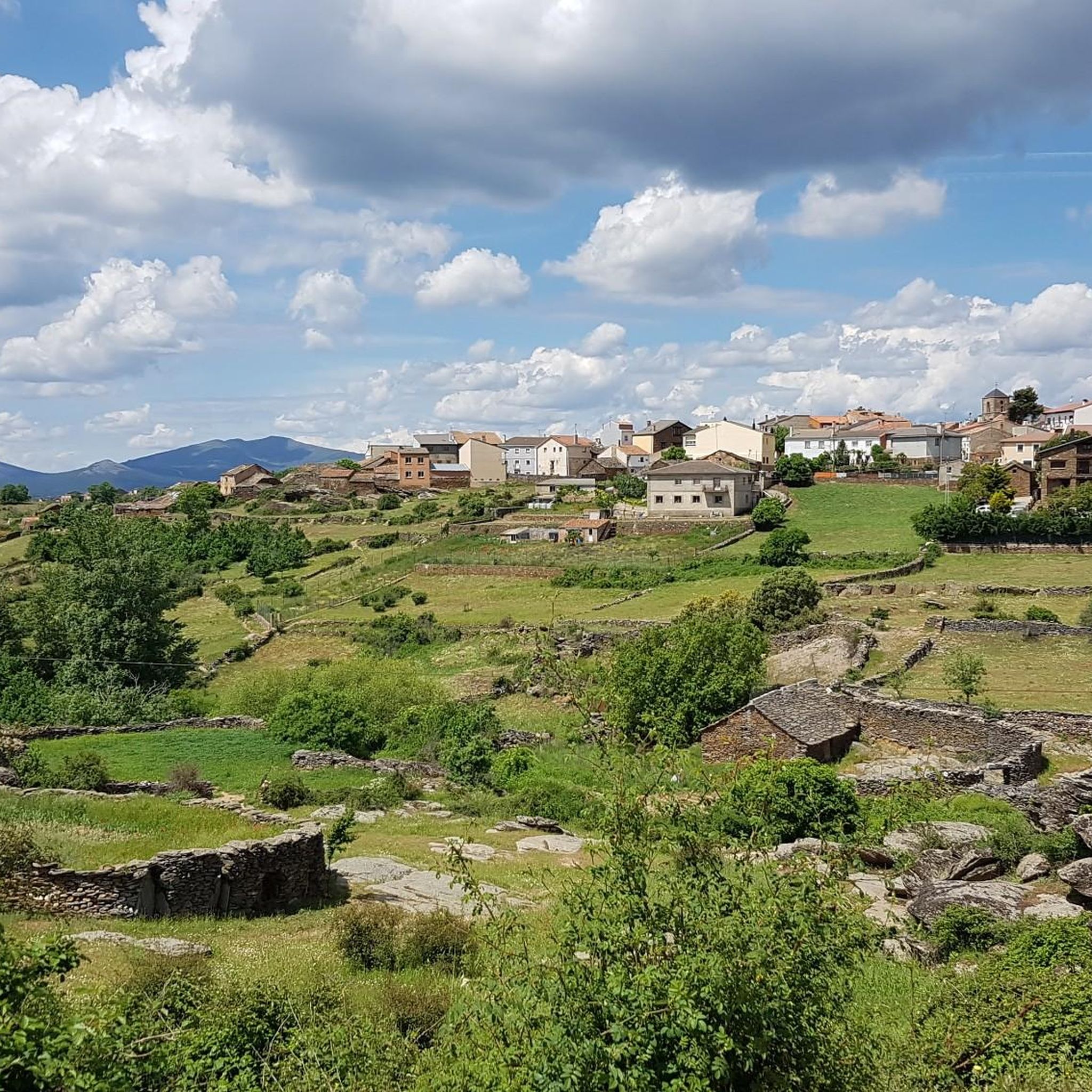
Beautiful and quiet town of Architecture between Negra and Dorada. With the famous Pera Galena River (Pelagallinas), with very cool waters in summer. You can start routes to La Junta de los Ríos with the Bornova, Climb the Alto Rey or head towards the Cueva del Oso. In any case you can enjoy Great Tranquility.
1
0
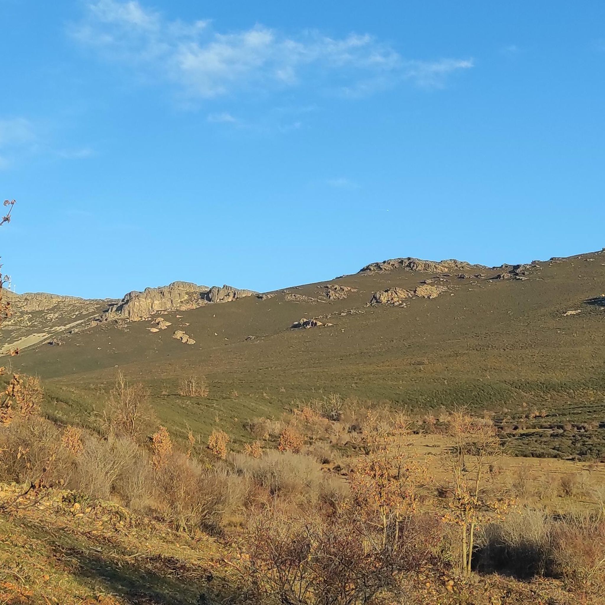
It is near the Climb to the High King. It is a Rope of Rocks that rises from the Pera Galena River (Pelagallinas) to the Summit.
1
0
It is a passing place between La Peña de Los Rollos and La Peña de Los Gavilanes on the climb to Alto Rey from El Collado de Mediodía.
1
0
It is located on the climb to Alto rey from El Collado del Mediodía.
1
0
The People Call the Peak of La Ermita 1,858 meters Alto Rey. But El Geodésico is located on another nearby and slightly lower peak 1,844 meters in altitude. The geodesic was actually knocked down by a storm and is one meter lower.
1
0
Frequently Asked Questions
What types of hiking trails can I find around Bustares?
Bustares, located in the Sierra Norte de Guadalajara, offers a diverse range of hiking trails. You'll find everything from challenging mountain ascents to the prominent Alto Rey Peak, to moderate excursions through river valleys like the Barranco del Río Bornova, and easier walks through historic mining landscapes. The area features both circular and linear routes.
Are there any easy or family-friendly hiking options in Bustares?
Yes, while many routes offer significant elevation changes, there are options suitable for families and those seeking easier walks. The region's diverse terrain includes trails that are less demanding, allowing for a relaxed exploration of the natural beauty and historic areas. Currently, there is 1 easy route available, and 6 moderate routes that might be suitable for families depending on their experience.
Can I bring my dog on the hiking trails in Bustares?
The Sierra Norte de Guadalajara region is generally welcoming to dogs, making it a great place for hiking with your canine companion. However, it's always recommended to keep dogs on a leash, especially in areas with livestock or protected wildlife, and to check specific trail regulations or local signage for any restrictions.
What are some notable natural landmarks or viewpoints to see while hiking?
The region boasts several impressive natural features. You can hike to the summit of Alto Rey Peak (1,858 m) for expansive views, or explore the area around the Barranco del Río Bornova and La Junta de los Ríos. The Views of the Pelagallinas River are also a highlight, known for its refreshingly cool waters in summer. Another interesting point is the View of Cueva del Oso, which can be reached via trails like Viewpoint to the Bear Cave from Prádena de Atienza.
Are there any historical or cultural attractions accessible from the hiking trails?
Absolutely. The region is rich in history. You can explore the 19th-century mining heritage in Hiendelaencina, which features a Silver Museum and monuments dedicated to the mining industry. The village of Bustares itself is a beautiful, quiet town with medieval origins, an 11th-century church, and an ancient hermitage. Consider the Hiendelaencina – Hiendelaencina Silver Mines loop from Hiendelaencina for a direct connection to this history.
What is the best time of year to go hiking in Bustares?
Bustares offers hiking opportunities throughout much of the year. Spring and autumn generally provide pleasant temperatures and vibrant landscapes, ideal for exploring. Summer can be warm, but the Río Pera Galena offers cool waters for refreshment. Winter hikes are possible, especially at lower elevations, but higher peaks like Alto Rey may require appropriate gear due to snow and colder conditions.
Are there any circular hiking routes available?
Yes, circular routes are a popular option in the Bustares area. For example, you can undertake the challenging Pico del Alto Rey — circular via the old path of Alto Rey from Bustares, which offers a rewarding ascent to the peak. Another option is the Hiendelaencina – Hiendelaencina Silver Mines loop from Hiendelaencina, which combines natural beauty with historical exploration.
What do other hikers say about the trails in Bustares?
The hiking routes in Bustares are highly regarded by the komoot community, holding an average rating of 4.7 stars from more than 9 reviews. Hikers often praise the tranquil setting, the diverse landscapes ranging from mountain peaks to river gorges, and the opportunity to combine natural exploration with visits to historic villages and mining sites.
Is parking available at trailheads in Bustares?
Yes, parking is generally available in and around Bustares and at common starting points for trails. For popular routes, such as those leading to Alto Rey Peak or the Cueva del Oso, designated parking areas are usually present in nearby villages like Bustares or Prádena de Atienza. It's advisable to arrive early during peak seasons to secure a spot.
How can I get to Bustares using public transport?
Public transport options to Bustares and the Sierra Norte de Guadalajara region can be limited. Bus services connect some of the larger towns in the province, but direct routes to smaller villages like Bustares may be infrequent. It's recommended to check local bus schedules in advance, as a car often provides the most flexible access to the various trailheads in the area.
Are there any permits required for hiking in the Sierra Norte de Guadalajara?
Generally, no specific permits are required for day hiking on established trails within the Sierra Norte de Guadalajara. However, it's always good practice to respect local regulations, especially concerning protected areas, fire restrictions, and private land. If you plan to engage in activities like camping or large group events, it's best to consult the local authorities or park management for any specific requirements.
Can I find places to eat or stay overnight in Bustares?
Bustares, being a quiet and historic village, offers some amenities for visitors. You can find local cafes or restaurants to refuel after a hike. For accommodation, there are rural houses and guesthouses available, providing a peaceful retreat. Nearby villages may also offer additional options for dining and lodging, contributing to the tranquil experience of the region.
Most popular routes around Bustares
Most popular attractions around Bustares

Get inspired with the komoot mobile app


Explore more
Browse the best Hikes in other regions.
