The best walks and hikes around La Bodera
4.7
(9)
50
hikers
4
hikes
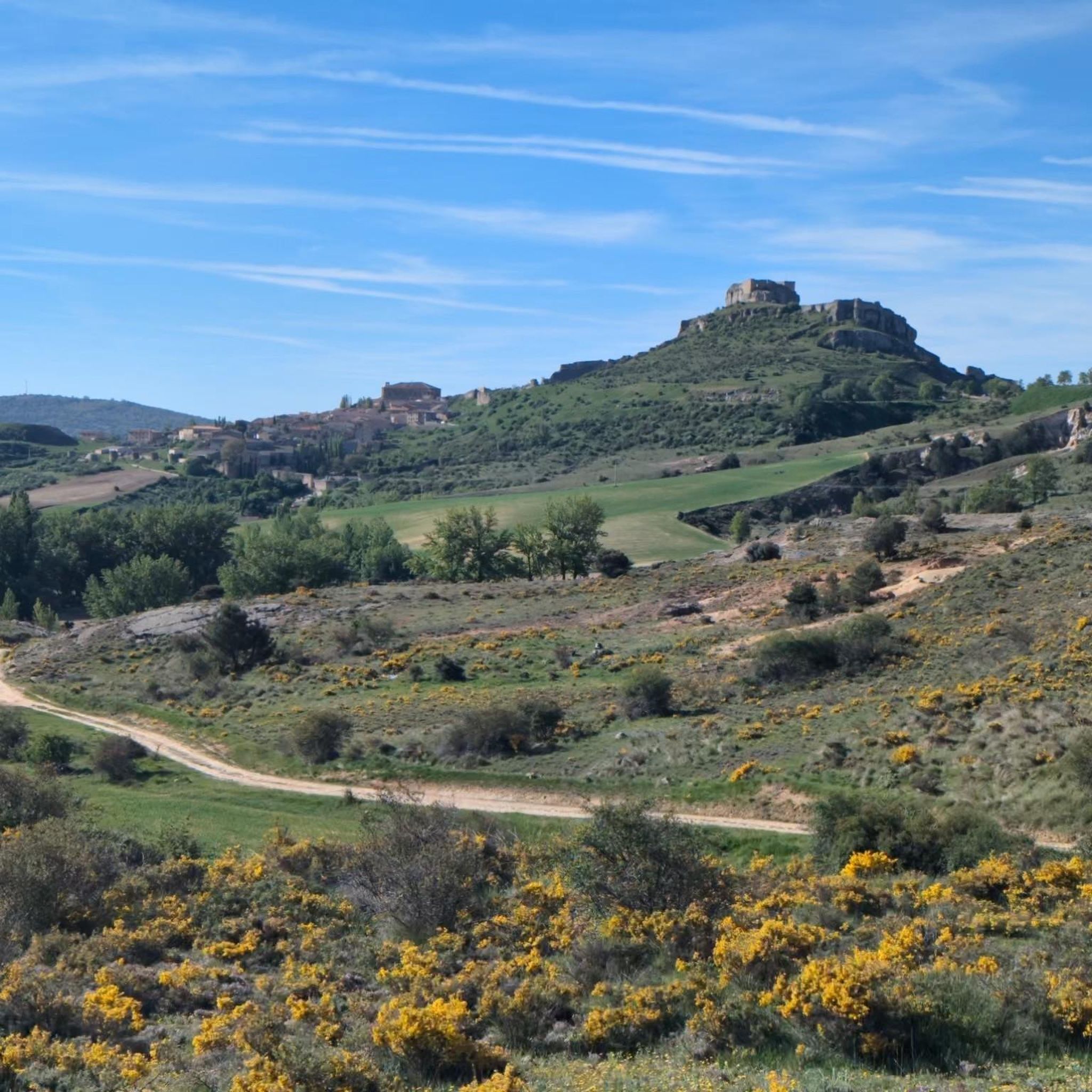
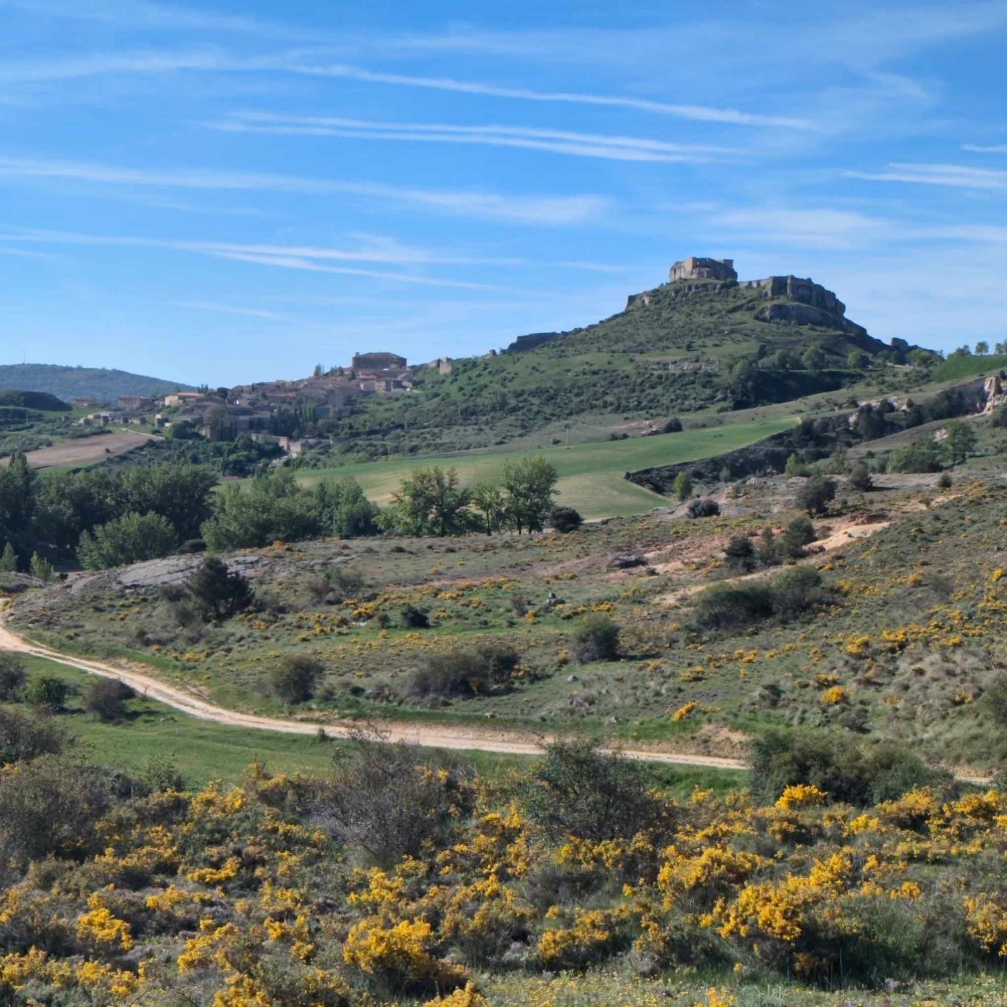
Hiking around La Bodera offers access to the natural beauty of the Sierra Norte de Guadalajara. The region is characterized by traditional black architecture in villages and diverse natural landscapes. Trails often traverse varied terrain, showcasing the area's biodiversity and scenic views.
Best hiking trails around La Bodera
- The most popular hiking route is Viewpoint to the Bear Cave from Prádena de Atienza, a 6.0 miles (9.6 km) trail that takes 2 hours 37 minutes to complete. This moderate…
Last updated: July 1, 2026
5.0
(1)
11
hikers
9.63km
02:38
150m
150m
Moderate hike. Good fitness required. Easily-accessible paths. Suitable for all skill levels.
5.0
(1)
8
hikers
5.70km
01:38
140m
130m
Easy hike. Great for any fitness level. Easily-accessible paths. Suitable for all skill levels.

Sign up for free
23.0km
06:10
270m
260m
Hard hike. Very good fitness required. Easily-accessible paths. Suitable for all skill levels.
25.5km
07:18
550m
550m
Hard hike. Very good fitness required. Mostly accessible paths. Sure-footedness required.
4.3
(3)
15
hikers
Hard hike. Very good fitness required. Easily-accessible paths. Suitable for all skill levels.
Our route recommendations are based on thousands of hikes, rides, and runs completed by other people on komoot.
Start today with a free account
Your next adventure awaits.
Login or Signup


Tips from the Community

It is worth spending a few minutes to admire the grandeur of the castle and the beautiful medieval village.
0
1

On the Cañamares River
0
0

Beautiful and quiet town of Architecture between Negra and Dorada. With the famous Pera Galena River (Pelagallinas), with very cool waters in summer. You can start routes to La Junta de los Ríos with the Bornova, Climb the Alto Rey or head towards the Cueva del Oso. In any case you can enjoy Great Tranquility.
1
0
It is near the Climb to the High King. It is a Rope of Rocks that rises from the Pera Galena River (Pelagallinas) to the Summit.
1
0
It is a passing place between La Peña de Los Rollos and La Peña de Los Gavilanes on the climb to Alto Rey from El Collado de Mediodía.
1
0
It is located on the climb to Alto rey from El Collado del Mediodía.
1
0
The People Call the Peak of La Ermita 1,858 meters Alto Rey. But El Geodésico is located on another nearby and slightly lower peak 1,844 meters in altitude. The geodesic was actually knocked down by a storm and is one meter lower.
1
0
It is called that because it is close to the Peña del Mediodía. It is located on the way up to Alto Rey from Pradena de Atienza. An extraordinary landscape can be seen in all directions.
1
0
Frequently Asked Questions
How many hiking trails are available around La Bodera?
There are several hiking routes around La Bodera, with 5 detailed tours available on komoot. These routes have been explored by over 40 hikers in the community.
What kind of landscapes can I expect to see while hiking near La Bodera?
Hiking around La Bodera offers a diverse experience, showcasing the natural beauty of the Sierra Norte de Guadalajara. You'll encounter traditional black architecture in villages, varied natural landscapes, and rich biodiversity. Routes often provide spectacular views and opportunities to enjoy nature at its best.
Are there easy hiking trails suitable for beginners or families around La Bodera?
Yes, there are easy options perfect for beginners or families. For instance, the Atienza Castle and Camino del Cid Loop is an easy 3.5-mile path that explores historical landmarks and local scenery.
Are there more challenging hikes for experienced hikers in the area?
Absolutely. For those seeking a challenge, the El Atance Reservoir Loop Trail is a difficult 14.3-mile route leading through varied natural landscapes, typically taking around 6 hours to complete. Another demanding option is the Embalse de Pálmaces from Hiendelaencina — circular via the Camino del Cid, which covers over 25 km with significant elevation gain.
What do other hikers say about the trails in La Bodera?
The routes in La Bodera are highly rated by the komoot community, with an average score of 4.7 stars from 9 reviews. Hikers often praise the natural beauty, varied terrain, and the opportunity to explore both natural and cultural highlights like the traditional black architecture.
Are there any circular hiking routes near La Bodera?
Yes, several routes offer a circular experience. The Atienza Castle and Camino del Cid Loop is a popular easy circular path. For a longer, more challenging option, consider the El Atance Reservoir Loop Trail.
What natural features or landmarks can I see along the hiking trails?
The region is rich in natural beauty. You can explore reservoirs like El Atance Reservoir and Pálmaces Reservoir. Trails also pass through traditional black architecture villages and offer views towards significant peaks like Pico Ocejón, known for its stunning landscapes.
Are there any historical sites or villages to explore near the hiking routes?
Yes, the area is dotted with interesting historical sites and villages. The Atienza Castle and Camino del Cid Loop, for example, takes you past the impressive Castle of Atienza and through the charming village of Atienza. Many routes also showcase the traditional black architecture characteristic of the region.
What is the best time of year to go hiking around La Bodera?
The Sierra Norte de Guadalajara, where La Bodera is located, offers beautiful hiking conditions throughout much of the year. Spring and autumn generally provide pleasant temperatures and vibrant scenery. Summer can be warm, so early morning or late afternoon hikes are recommended. Winter hikes are possible, especially on lower elevation trails, but require appropriate gear for colder conditions.
Is it possible to hike to Pico Ocejón from La Bodera?
While Pico Ocejón is a prominent peak in the region, routes directly from La Bodera to its summit are not detailed in this guide. However, the peak is accessible via other routes in the broader Sierra Norte de Guadalajara, offering stunning landscapes and a true mountain experience. A challenging option in the area is the Alto Rey Peak (1,858 m) – View of Cueva del Oso loop from Prádena de Atienza.
Are there any routes that offer views of reservoirs or water features?
Yes, several routes provide excellent views of the local reservoirs. The El Atance Reservoir Loop Trail is a prime example, offering extensive views of El Atance Reservoir. Another option is the Embalse de Pálmaces from Hiendelaencina — circular via the Camino del Cid, which circles the Pálmaces Reservoir.
What is the most popular moderate hike in the area?
The most popular moderate hiking route is the Viewpoint to the Bear Cave from Prádena de Atienza. This 6.0-mile trail typically takes around 2 hours and 37 minutes to complete and offers scenic views of the surrounding natural features.
Most popular routes around La Bodera
Most popular attractions around La Bodera

Get inspired with the komoot mobile app


Explore more
Browse the best Hikes in other regions.
