The best walks and hikes around Huétor Vega
4.5
(3706)
17,432
hikers
22
hikes
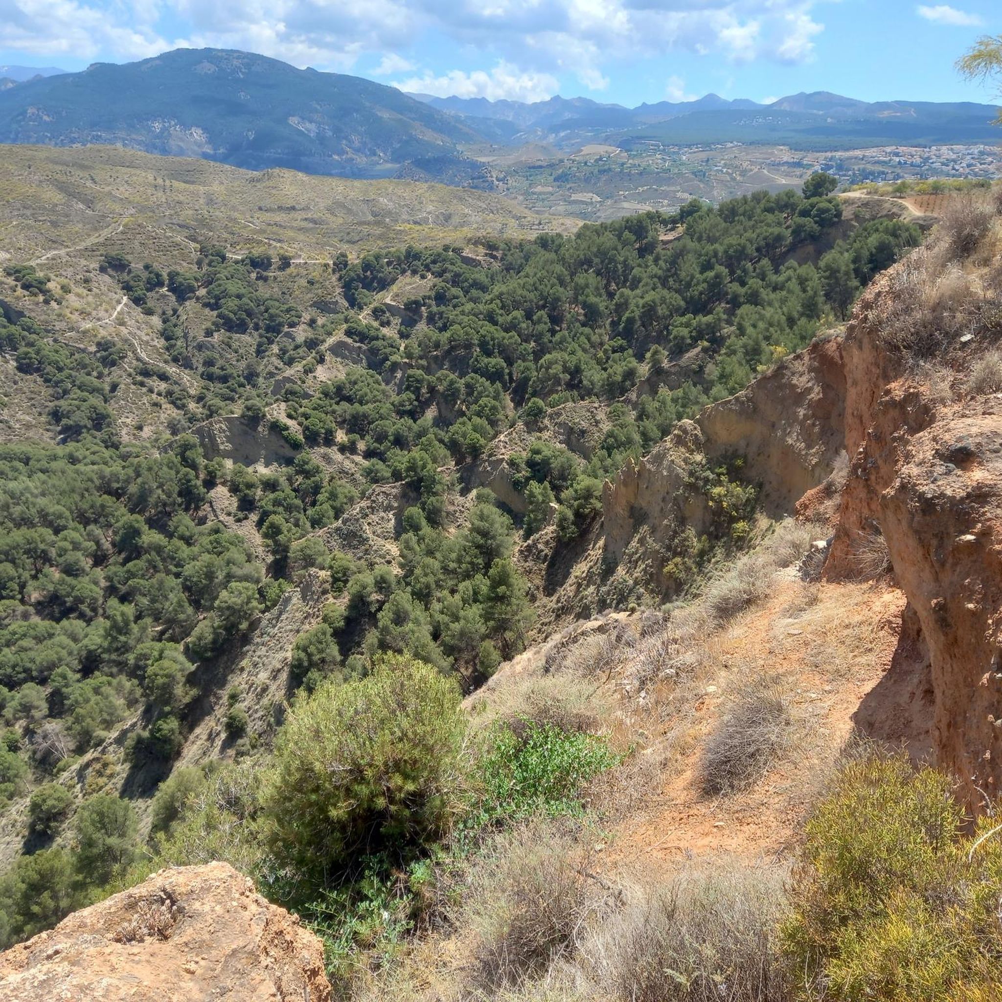
Hiking around Huétor Vega offers access to varied terrain characterized by river gorges, rolling hills, and elevated viewpoints. The region features paths that follow waterways and ascend to provide panoramic vistas of the surrounding landscape. Trails often navigate through natural areas with diverse flora and geological formations. The topography includes both gentle slopes and more significant ascents, providing a range of hiking experiences.
Best hiking trails around Huétor Vega
- The most popular hiking route is Los Cahorros Gorge, Monachil –…
Last updated: October 26, 2026
4.5
(13)
37
hikers
10.2km
03:07
360m
360m
Moderate hike. Good fitness required. Easily walkable paths.
4.5
(2)
19
hikers
18.0km
05:43
740m
740m
Hard hike. Very good fitness required. Easily walkable paths.

4.7
(3)
16
hikers
9.43km
02:34
140m
140m
Moderate hike. Good fitness required. Easily walkable paths.
8
hikers
7.95km
02:11
120m
120m
Moderate hike. Good fitness required. Easily walkable paths.
4
hikers
5.81km
01:30
30m
30m
Easy hike. Easily walkable paths.
Get access to more routes and recommendations from other explorers.
Already have an account?
Our route recommendations are based on thousands of hikes, rides, and runs completed by other people on komoot.
Start today with a free account
Your next adventure awaits.

Tips from the Community

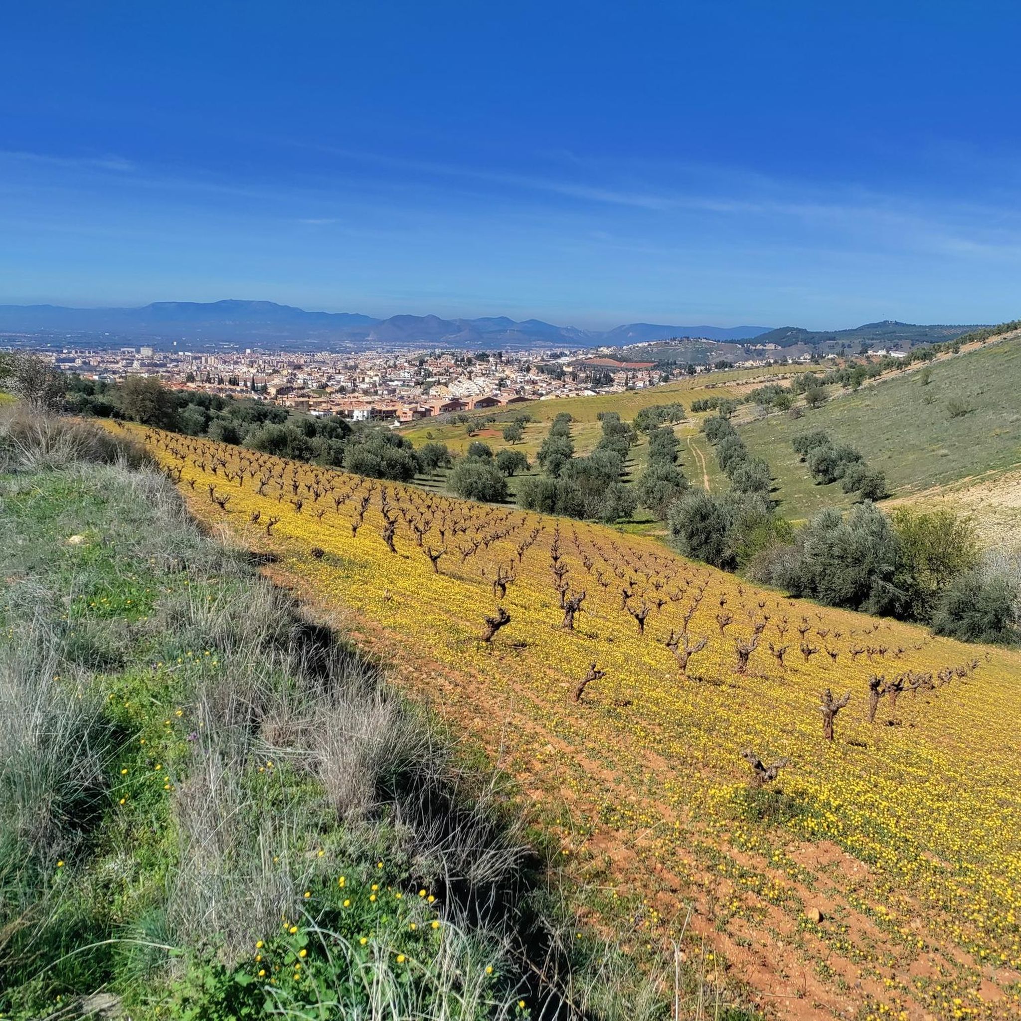
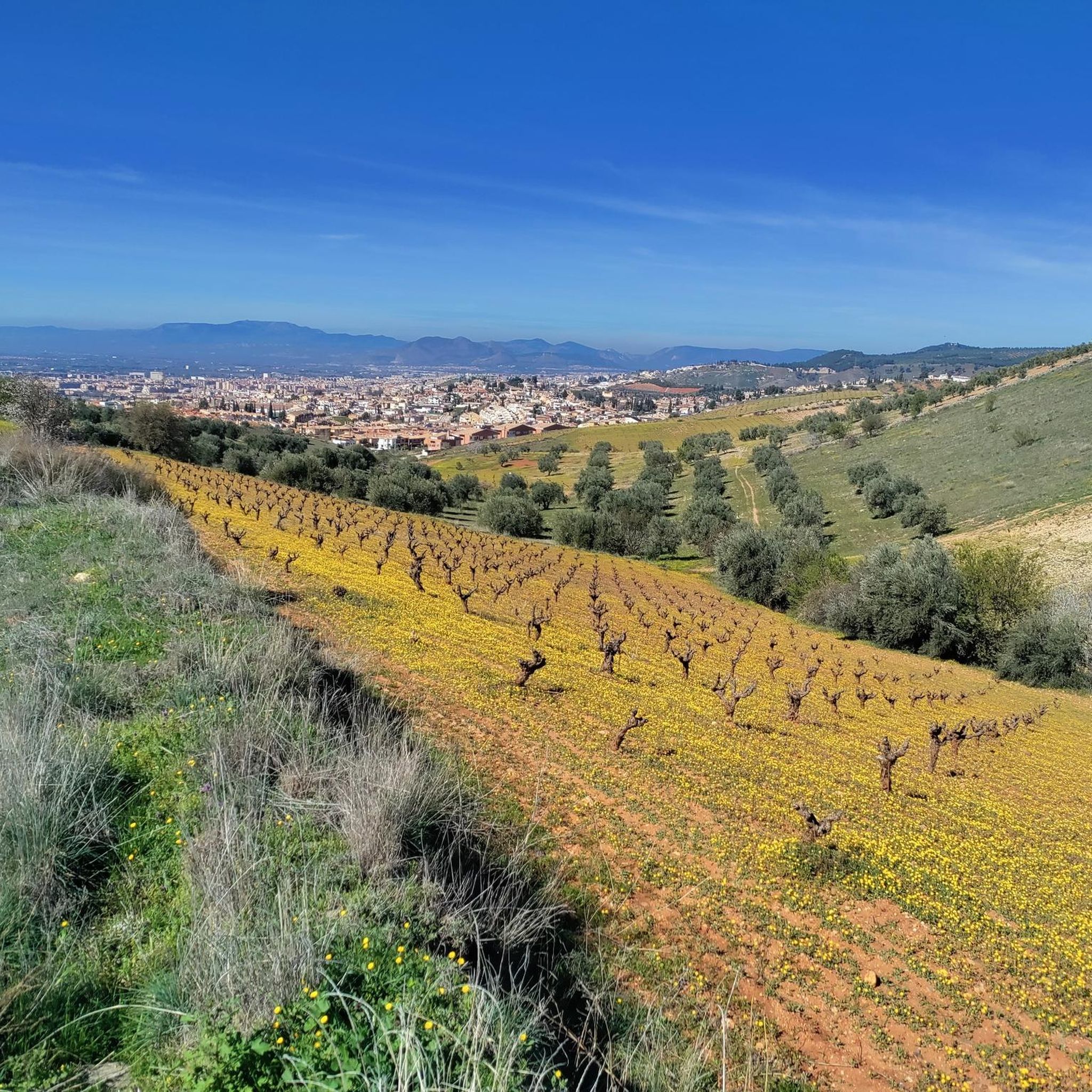
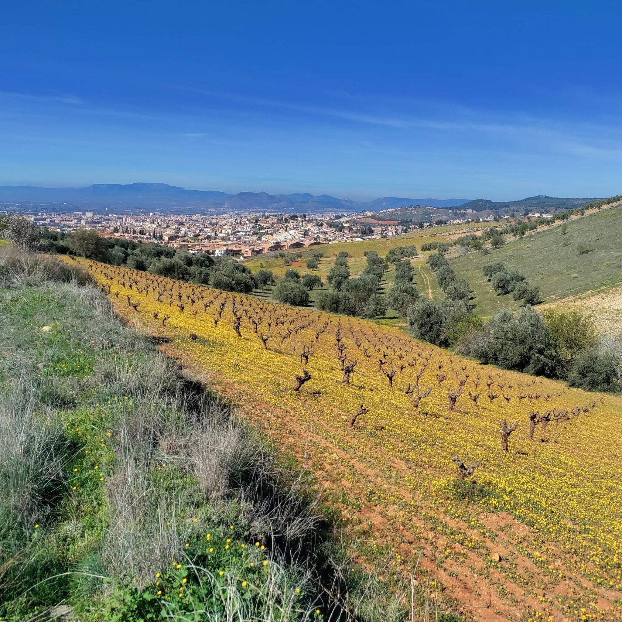
A moment of zen! After a 2.5-kilometer descent from the Purche, it's wonderful to sit on a set of logs. Beware, though, there are giant ants living there. With a view of the route's destination: Granada, the paragliders sailing off, and the trail that follows. There's no shade.
0
0

Take a deep breath and fill up your water bottles - this is where the climbing starts!
1
0

A viewpoint near Granada with views of the southern area of the city of Granada and its towns.
0
1

very accessible course with magnificent landscapes
0
0

I recommend going at dawn
0
1

Stunning views of the town of Monachil
0
0

Have fun and if you go with dogs better
0
0

Located in the center-south of the Vega de Granada region. The name of the town comes from the Arabic, Monastir, a term that in turn has Latin origin and means monastery. The river that crosses the town from east to west carries the waters that rise at the top of Pico del Veleta.
1
0
Frequently Asked Questions
How many hiking trails are available in Huétor Vega?
Huétor Vega offers a wide selection of hiking opportunities, with over 440 routes recorded on komoot. This includes a diverse range of trails suitable for various skill levels and preferences.
Are there easy hiking trails suitable for beginners in Huétor Vega?
Yes, Huétor Vega has many easy trails perfect for beginners or those looking for a relaxed walk. There are 183 easy routes available, such as the Genil River in Pinos Genil loop from Cenes de la Vega, which offers a gentle 4.5-mile (7.3 km) path along the river.
Can I find circular hiking routes around Huétor Vega?
Many of the hiking trails in Huétor Vega are circular, allowing you to start and end at the same point. A popular option is the Los Cahorros Gorge, Monachil – Hanging Bridge of Los Cahorros loop from Huétor Vega, a moderate 9.3-mile (15.0 km) route that explores the scenic gorge.
Are the hiking trails in Huétor Vega family-friendly?
Many trails in Huétor Vega are suitable for families, especially the easier routes along riverbeds or through less challenging terrain. The varied landscape ensures there are options for different ages and abilities, though some routes, like those in the gorges, may require supervision for younger children.
Are dogs allowed on the trails in Huétor Vega?
Generally, dogs are welcome on many of the hiking trails in Huétor Vega, especially if kept on a leash. It's always a good idea to check specific route details or local signage for any restrictions, particularly in protected natural areas or private lands.
What kind of scenery or natural features can I expect on hikes in Huétor Vega?
Hiking in Huétor Vega offers diverse scenery, including dramatic river gorges, rolling hills, and elevated viewpoints. You'll encounter paths that follow waterways, ascend to panoramic vistas, and navigate through natural areas rich in flora and geological formations. The region is known for its varied topography.
Are there any notable landmarks or attractions to see while hiking?
Yes, the area around Huétor Vega is rich in natural and historical landmarks. You can explore fascinating caves, such as the Sacromonte Caves Museum or the Cave of the Dove. For those seeking elevated views, summits like Pico de la Cruz offer stunning panoramas.
What is the best time of year to go hiking in Huétor Vega?
The best time for hiking in Huétor Vega is typically during spring (March to May) and autumn (September to November) when the weather is mild and pleasant. Summers can be hot, making early mornings or late afternoons preferable, while winters are generally mild but can bring cooler temperatures at higher elevations.
Where can I park when visiting the hiking trails in Huétor Vega?
Parking availability varies by trailhead. Many popular starting points, especially near villages like Huétor Vega or Monachil, offer designated parking areas. For specific routes, it's advisable to check the komoot tour details, as users often share information about parking spots in the comments.
What do other hikers say about the trails in Huétor Vega?
The trails in Huétor Vega are highly regarded by the komoot community, boasting an average rating of 4.5 stars from over 3,500 reviews. Hikers frequently praise the region's varied terrain, the beauty of the river gorges, and the rewarding views from elevated points.
Are there any trails that follow rivers or have water features?
Absolutely. The region is characterized by river gorges, and many trails follow waterways. The routes around Los Cahorros Gorge, such as the Los Cahorros Gorge, Monachil loop from Monachil, are particularly known for their river crossings and scenic water features.
Are there any challenging hikes for experienced hikers in Huétor Vega?
Yes, for experienced hikers, Huétor Vega offers 46 difficult routes that provide a greater challenge. These trails often feature significant ascents and more rugged terrain, such as the higher sections leading to summits like Cerro del Sol Summit.
Are there places to eat or drink near the hiking routes?
Yes, the villages surrounding the hiking areas, including Huétor Vega and Monachil, offer various cafes, restaurants, and bars where you can refuel before or after your hike. Some routes may also pass by smaller establishments, but it's always wise to carry sufficient water and snacks.
Most popular routes around Huétor Vega
Most popular attractions around Huétor Vega

Get inspired with the komoot mobile app


Explore more
Browse the best Hikes in other regions.
