The best running trails around La Puebla De Valverde
4.8
(19)
416
runners
41
runs
Jogging routes around La Puebla De Valverde are set within the elevated Gúdar-Javalambre region, characterized by mountainous terrain and diverse natural features. The area includes peaks reaching over 2,000 meters, offering varied elevations for running. Features such as barrancos (ravines) and extensive forests provide a stimulating environment for trail running. Natural springs and an extensive network of paths, including sections of long-distance routes, contribute to the region's appeal for runners.
Best jogging routes around La Puebla De Valverde
- The most…
Last updated: July 11, 2026
6.65km
01:01
320m
320m
Hard run. Very good fitness required. Mostly paved surfaces. Suitable for all skill levels.
17
runners
25.3km
04:27
1,770m
1,770m
Hard run. Very good fitness required. Mostly paved surfaces. Suitable for all skill levels.

Sign up for free
9
runners
Hard run. Very good fitness required. Sure-footedness, sturdy shoes and alpine experience required.
7
runners
11.8km
01:42
440m
450m
Hard run. Very good fitness required. Sure-footedness, sturdy shoes and alpine experience required.
5.0
(1)
6
runners
Moderate run. Good fitness required. Mostly paved surfaces. Suitable for all skill levels.
Get access to more routes and recommendations from other explorers.
Sign up for free
Already have an account?
Our route recommendations are based on thousands of hikes, rides, and runs completed by other people on komoot.
Start today with a free account
Your next adventure awaits.
Login or Signup
Popular around La Puebla De Valverde
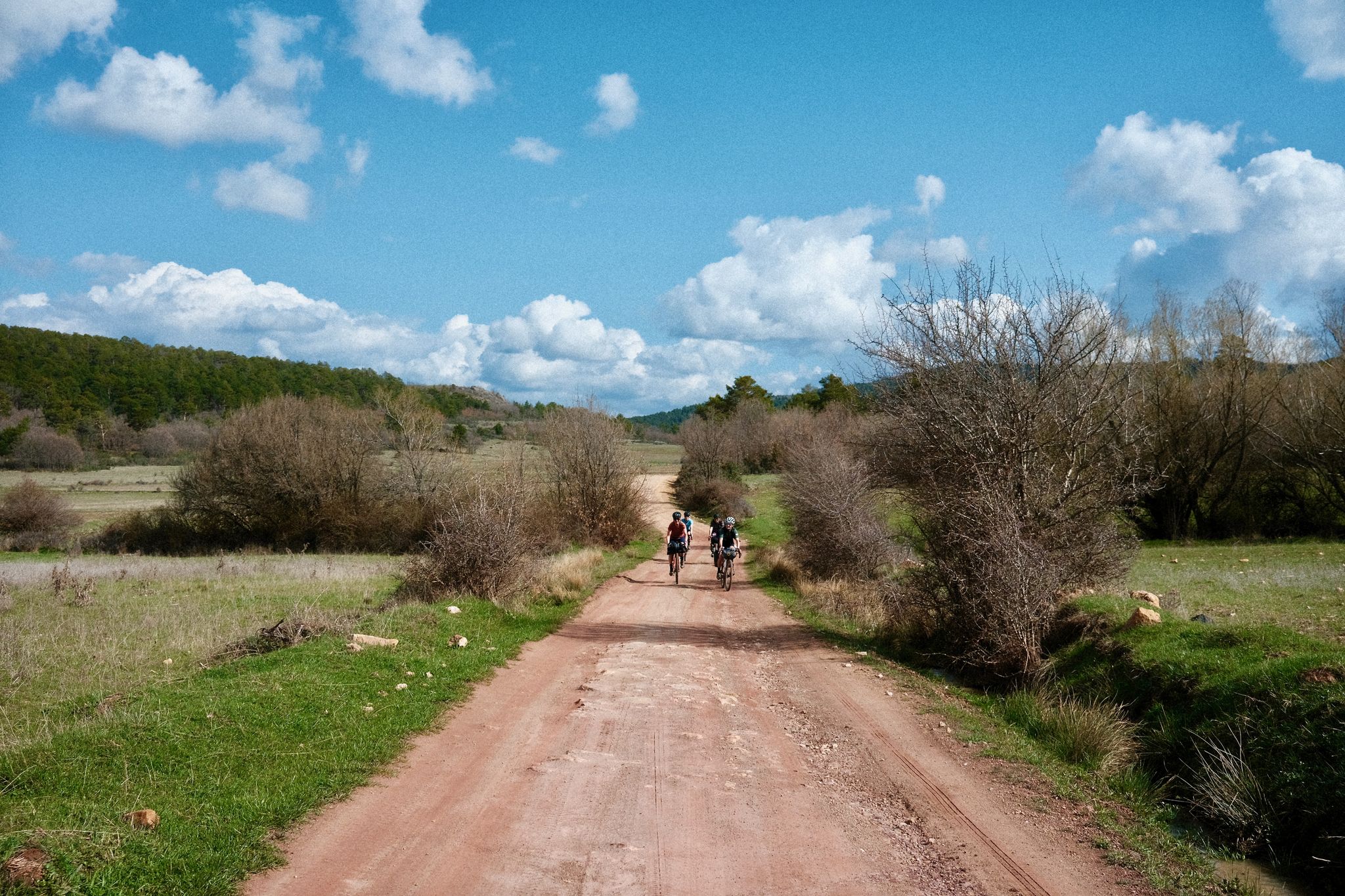
Women's Montañas Vacías 2022 — bikepack in rural Spain

MontañasVacías official — bikepacking across the Spanish Lapland
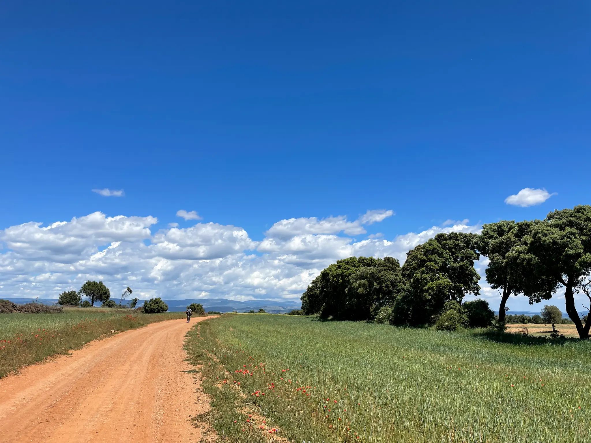
El Camino del Cid – The Conquest of Valencia on MTB
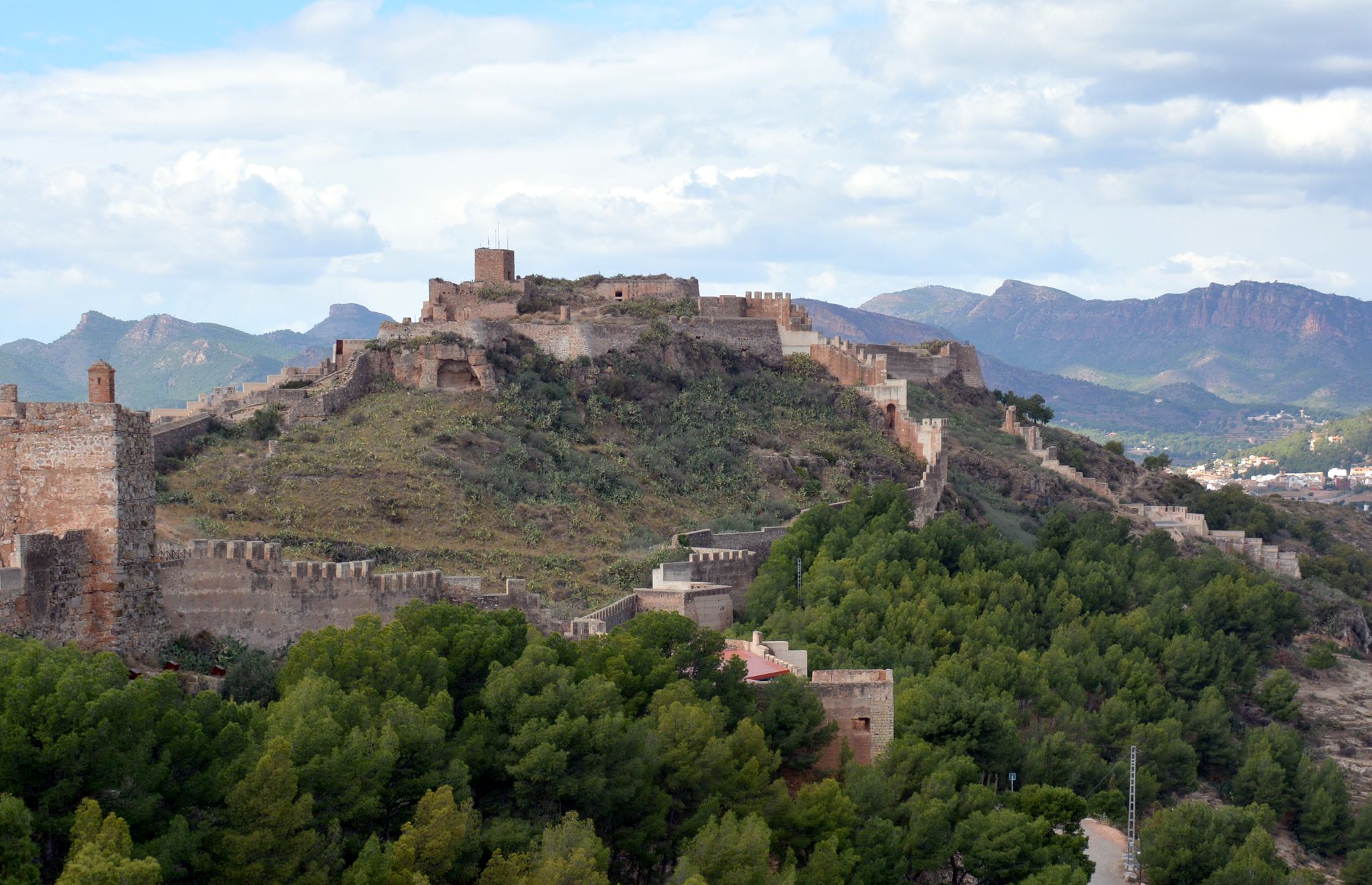
The Way of El Cid by bicycle – Conquest of Valencia
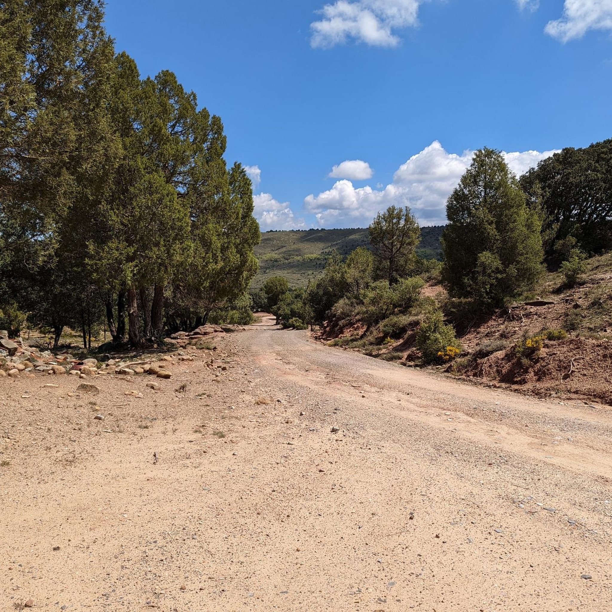
Hiking around La Puebla De Valverde
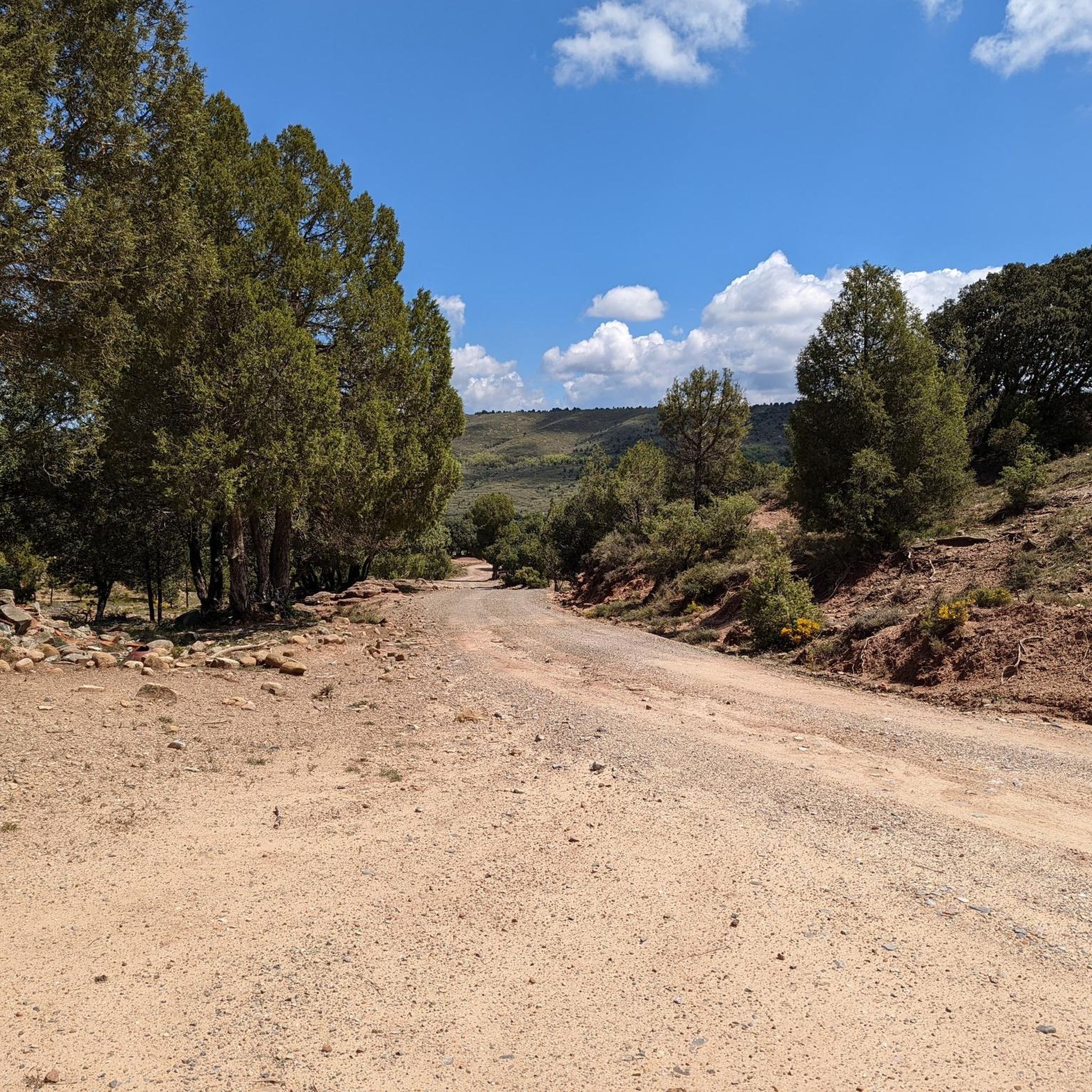
Road Cycling Routes around La Puebla De Valverde
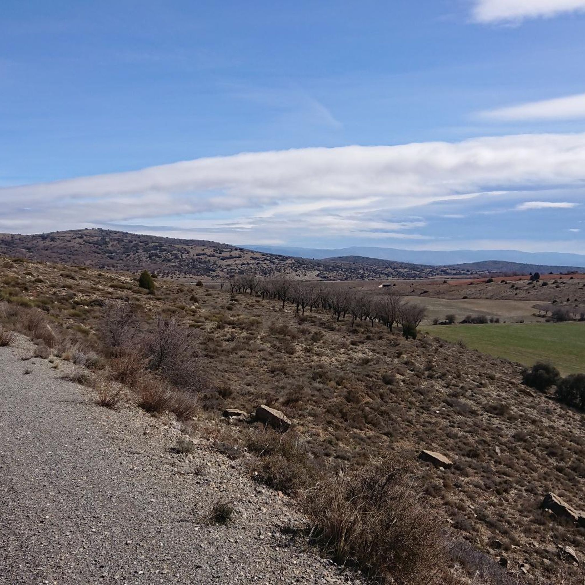
Cycling around La Puebla De Valverde
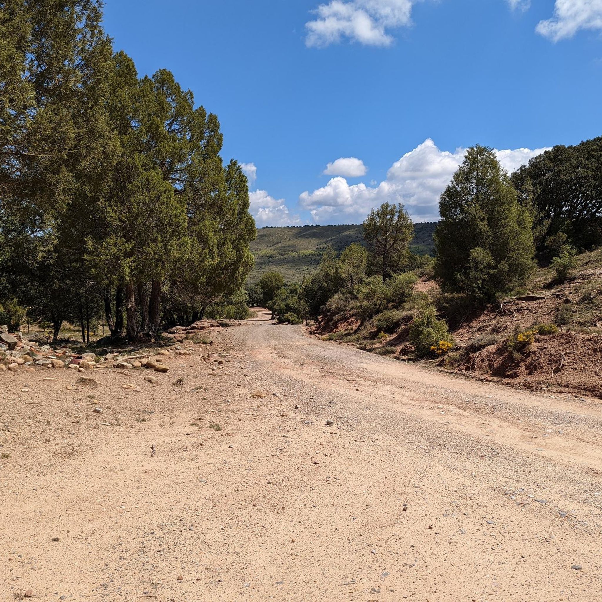
MTB Trails around La Puebla De Valverde

Gravel biking around La Puebla De Valverde
Other adventures around La Puebla De Valverde


Tips from the Community

The Rabadá and Navarro refuge is located in the heights of the Javalambre mountain range, very close to the ski resort. It has a capacity of 74 beds and offers blankets, heating, hot showers, food service and a bar.
1
0

The summit is 2019 meters high. The path is demanding, but it is worth the effort. The panoramic views of the surrounding mountains are like something out of a movie.
2
0


Nice picture next to a fun single track between trees and fauna in the Plano de la Sierra
1
0
We are at Pico Javalambre at an altitude of 2,019 meters, considered a sacred mountain by many nature lovers and/or Turolenses. It is the highest peak of the mountain range that bears his name, it is considered by the majority of Teruel residents to be the roof of their province, although the true roof of Teruel is the top of Peñarroya. If we have the opportunity to climb here when there is no snow, we will be able to appreciate the so-called "leopard skin" caused by the vegetation on the entire surface of the massif, a work of art of nature!
2
0

The Javalambre Peak at 2,019 m is the highest in the mountain range that bears its name. It is considered by the majority of Teruel residents to be the roof of their province, although the true roof of Teruel is Peñarroya. At the top of Pico Javalambre, in addition to the enormous antenna that helps you orient yourself but destroys the landscape, there are other smaller antennas, apart from a track that reaches the same summit, some ski slopes next to it. All this spoils the beautiful surrounding landscape quite a bit.
1
0

For many a sacred mountain and undoubtedly a reference of the province of Teruel. The top of Javalambre at 2019 masl offers very nice views in all directions. A few km away is the Javalmabre ski station, a very popular place in the winter season and from where you can start the ascent to the summit. If you go up here when there is no snow, you will be able to appreciate the curious "leopard skin" caused by the vegetation over the entire large area of the massif, a work of art of nature!
3
0
Just a few kilometres from the base of the Javalambre ski resort, this refuge perfectly fulfils all the functions for which it was built. It can be reached from the Javalambre car park or from Camarena de la Sierra. The views from here are also very beautiful.
2
0
Frequently Asked Questions
How many running routes are available in La Puebla de Valverde?
La Puebla de Valverde offers a diverse selection of over 25 running routes. These trails cater to various preferences, with 12 moderate and 16 difficult options, ensuring there's a suitable path for almost every runner.
What kind of landscapes can I expect on the running trails in La Puebla de Valverde?
The running trails in La Puebla de Valverde traverse a stunning mountainous landscape, characterized by its elevated position within the Gúdar-Javalambre region. You'll encounter diverse terrain including challenging ascents towards peaks reaching over 2,000 meters, scenic ravines like the Barranco del Hocino, and extensive forests. The area is also dotted with natural springs such as La Peñuela and La Fuen Honda, adding to the natural beauty of your run.
Are there any circular running routes in the area?
Yes, many of the running routes around La Puebla de Valverde are circular, offering varied experiences. For example, the challenging Javalambre – trail run circular from Javalambre Ski Resort is a 4.1-mile loop with panoramic views. Another option is the longer Refugio Rabadá y Navarro – Pico Javalambre loop from Parking Estación Javalambre, which is a difficult 15.8-mile path through the Javalambre mountain range.
What are some longer, more challenging running routes for experienced runners?
For experienced runners seeking a challenge, La Puebla de Valverde offers several difficult long-distance options. The Javalambre loop from Parking Estación Javalambre is a substantial 22.6-mile trail that winds through mountainous landscapes, typically taking over 6 hours to complete. Another demanding route is the Refugio Rabadá y Navarro – Pico Javalambre loop from Parking Estación Javalambre, a 15.8-mile path featuring significant elevation gain.
Are there any scenic viewpoints or natural landmarks to see while running?
Absolutely. The region is rich in natural landmarks. You can run towards Pico Javalambre, one of the highest points in the province, offering breathtaking views. Other notable sights include the unique Red Plain and the dramatic View of the "Wild West" gorge. The Barranco del Hocino is also known for its scenic beauty and diverse vegetation.
Can I find routes with water features like springs or waterfalls?
Yes, the area around La Puebla de Valverde features numerous natural springs, such as La Peñuela, La Cederilla, Las Balsillas, El Alberque, and La Fuen Honda, which you may encounter along various trails. For a more prominent water feature, consider exploring routes that might lead you towards The Amanaderos of Riodeva, a beautiful waterfall in the vicinity.
What do other runners say about the trails in La Puebla de Valverde?
The running routes in La Puebla de Valverde are highly regarded by the komoot community, boasting an average rating of 5.0 stars from over 3 reviews. More than 300 runners have explored the varied terrain, often praising the challenging ascents, panoramic views, and the stimulating natural environment of the Gúdar-Javalambre region.
Are there any running routes suitable for beginners or those looking for an easier pace?
While the region is known for its mountainous terrain, offering many difficult routes, there are also 12 moderate routes that can be suitable for fit beginners or those preferring a less strenuous run. These routes still provide the beautiful scenery without the extreme elevation gains of the most challenging trails. It's always recommended to check the route details for specific distances and elevation profiles.
Are there any routes that are part of larger trail networks?
Yes, the municipality is crisscrossed by an extensive network of paths and trails. You can find sections of long-distance routes like the GR 8 and GR 160 (Camino del Cid), as well as the Vía Verde Ojos Negros, which offer varied terrain and connections to broader regional exploration.
What is the best time of year for running in La Puebla de Valverde?
Given its elevated position and mountainous climate, spring and autumn generally offer the most pleasant conditions for running in La Puebla de Valverde, with milder temperatures and vibrant natural scenery. Summer mornings can also be suitable, but be mindful of higher temperatures later in the day. Winter running is possible, especially with the proximity to the Javalambre ski station, but requires appropriate gear for colder, potentially snowy conditions.
Are there any running routes that offer a good workout with significant elevation gain?
Absolutely. The mountainous terrain of La Puebla de Valverde is ideal for runners seeking significant elevation gain. Routes like the Javalambre loop from Las Hoyuelas, a 8.8-mile difficult trail, feature over 1,000 meters of ascent, providing an excellent workout amidst stunning high-altitude scenery.
Most popular routes around La Puebla De Valverde
Most popular attractions around La Puebla De Valverde

Get inspired with the komoot mobile app


Explore more
Browse the best Running Trails & Routes in other regions.
