The best MTB trails around Fuentes De Jiloca
4.5
(5)
46
riders
15
rides
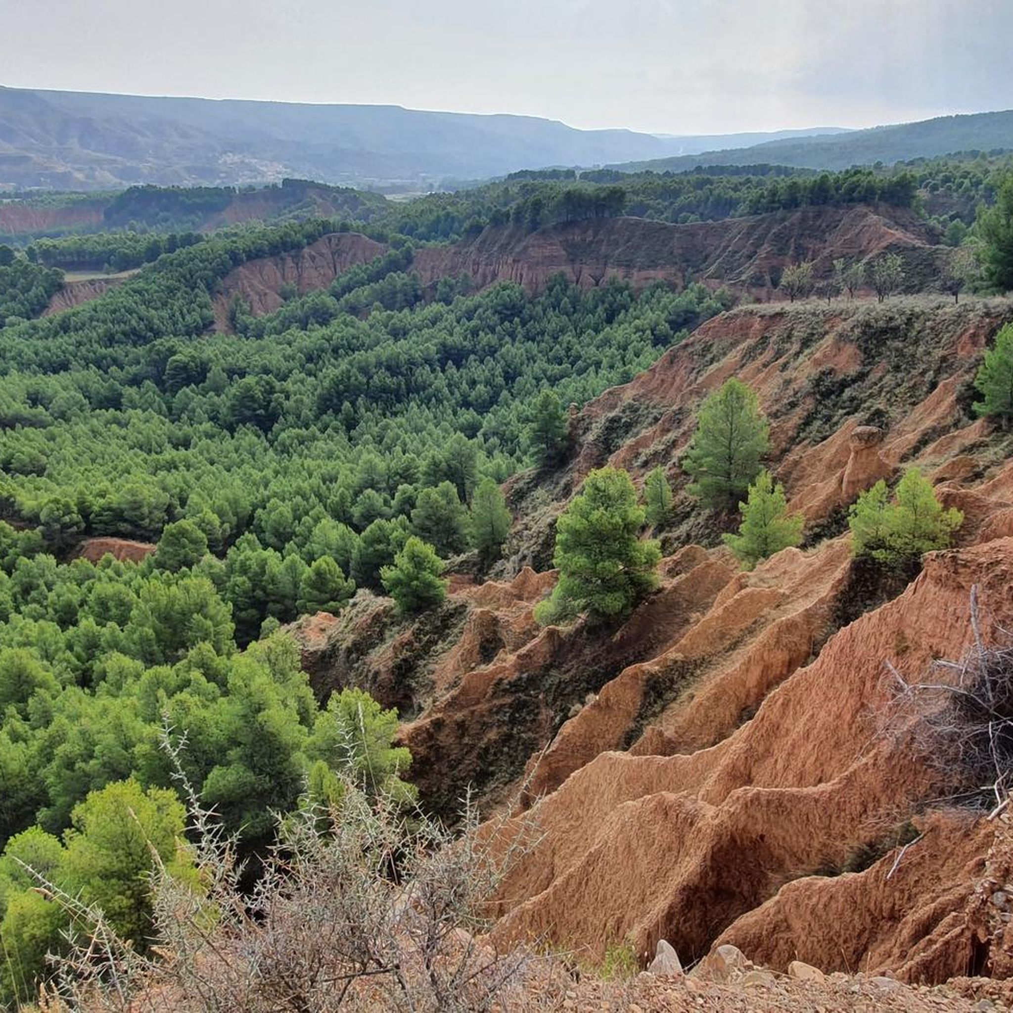
Mountain bike trails Fuentes de Jiloca are found within a diverse landscape in the Jiloca River valley, characterized by varied topography and natural features. The region includes gentle riverside paths along the Jiloca River and more challenging routes on the slopes of small hills. This area offers a blend of natural beauty and historical elements, including sections of the Camino del Cid.
Best mountain bike trails around Fuentes De Jiloca
- The most popular mountain bike trail is Despoblado de Pardos…
Last updated: November 1, 2026
60.7km
05:49
1,100m
1,100m
Hard mountain bike ride. Very good fitness required.
11
riders
46.3km
03:58
460m
460m
Moderate mountain bike ride. Good fitness required.

5.0
(2)
9
riders
115km
09:18
1,240m
1,240m
Hard mountain bike ride. Very good fitness required. Advanced riding skills necessary. Some portions of the route may require you to push your bike.
12
riders
29.9km
02:05
100m
100m
Moderate mountain bike ride. Good fitness required.
5
riders
39.7km
03:56
830m
820m
Moderate mountain bike ride. Good fitness required. Advanced riding skills necessary.
Get access to more routes and recommendations from other explorers.
Already have an account?
Our route recommendations are based on thousands of hikes, rides, and runs completed by other people on komoot.
Start today with a free account
Your next adventure awaits.
Popular around Fuentes De Jiloca

Tips from the Community

Watched over by the remains of its ancient castle, Daroca emerges, one of the most beautiful cities in Aragon. Without a doubt, one of the charms of the town is to walk along its walls, with their imposing towers, until you reach the castle, from which you can enjoy a beautiful panoramic view.
0
0

The Lower Gate is the most emblematic entrance to Daroca and one of the most impressive defensive monuments in Aragon. Its two robust towers flank a large arch that, in addition to serving as a passageway, also facilitated the drainage of water during periods of heavy rain. Built between the 13th and 16th centuries, it reflects the military and architectural evolution of the city, with Gothic and Renaissance elements such as the gallery of arches and the imperial coat of arms of Charles V. Today, restored, it houses the Center for Daroca Studies and is a must-see for those exploring the city's walls and historic streets.
2
0


Picturesque Lagoon located at the foot of the track between the towns of Used and Cubel
0
0
Its location is on the track from Atea to Murero, this track is highly recommended if we want to avoid the road that connects these towns.
0
0

Surprising Daroca and its buildings and history, worth a visit
1
2

Legend has it that the Celtiberian population of Sace or Saz was here and that it had been reduced to ashes by the Muslims. After the reconquest of Alfonso I the Battler, an image of the burned virgin of the village was found and the inhabitants of Atea took it to the town. In the 18th century, this hermitage was built and they called it Nuestra Señora de los Mártires, for those who fell for their faith under the Muslim yoke.
0
0

We are in Munébrega, where the Church of Nuestra Señora de la Asunción stands out, of course, in the Mudéjar style and from the 14th century. We can go to see the hermitage of San Cristóbal or the hermitage of Nuestra Señora del Mar y de la Cuesta or the beautiful pond that is in the surroundings with an age of more than 600 years. And if we want to play at getting lost in Munébrega, we can try to find the five Peirones that are scattered throughout the town.
1
0
Frequently Asked Questions
How many mountain bike trails are available around Fuentes de Jiloca?
There are 17 mountain bike trails around Fuentes de Jiloca. These routes cater to various skill levels, including 1 easy, 12 moderate, and 4 difficult options.
What kind of terrain can I expect on mountain bike trails in Fuentes de Jiloca?
The terrain around Fuentes de Jiloca is diverse, ranging from gentle riverside paths along the Jiloca River to more challenging routes on the slopes of small hills. You'll encounter varied topography, including sections that are part of the historic Camino del Cid, offering a mix of natural beauty and cultural heritage.
Are there any easy mountain bike trails suitable for beginners in Fuentes de Jiloca?
Yes, there is at least one easy mountain bike trail. For a more relaxed ride, consider the Langa del Castillo loop from Miedes de Aragón, which is 24.4 km long and features a manageable elevation gain of about 208 meters.
What are some challenging mountain bike routes for experienced riders?
Experienced riders looking for a challenge can explore routes like Despoblado de Pardos y Mirador de Santa Cruz — circular desde Acered, a difficult 60.7 km trail with over 1,100 meters of climbing. Another demanding option is the Castillo de Ayud – Daroca loop from Apeadero de Villafeliche, which spans 116.2 km with over 1,300 meters of ascent.
What do other mountain bikers enjoy most about the trails in Fuentes de Jiloca?
The mountain bike trails in Fuentes de Jiloca are highly rated by the komoot community, with an average score of 4.3 stars. Riders often appreciate the varied terrain, the blend of natural beauty with historical elements, and the options available for different skill levels.
Are there any circular mountain bike routes in the area?
Yes, several routes are circular. Examples include the moderate Drinking Water Fountain loop from Fuentes de Jiloca, which is 47.0 km long, and the easy Langa del Castillo loop from Miedes de Aragón, covering 24.4 km.
What historical landmarks or attractions can I see while mountain biking near Fuentes de Jiloca?
The region is rich in history. You can explore remnants of medieval fortresses and castles in nearby towns like Maluenda and Villafeliche. The Hermitage of Our Lady of the Martyrs is another notable religious building, and you might even cross the historic Old Railway Bridge on some routes.
Are there natural features or viewpoints to look out for on the trails?
Absolutely. The Jiloca River valley itself is a central natural feature, offering pleasant banks and lush riverside groves. The varied topography provides elevated points, such as near the Church of the Assumption, which offer panoramic views of the valley. The area is also known for its numerous natural springs.
Is Fuentes de Jiloca part of the Camino del Cid for mountain biking?
Yes, Fuentes de Jiloca is indeed part of the Camino del Cid, a historic and cultural route that includes dedicated cycling paths suitable for mountain bikes (BTT). This allows riders to combine their outdoor adventure with an immersion in the legend of El Cid.
When is the best time of year to go mountain biking in Fuentes de Jiloca?
Given its location in Aragon, Spain, spring and autumn generally offer the most pleasant conditions for mountain biking in Fuentes de Jiloca. Temperatures are milder, and the natural scenery is vibrant. Summers can be hot, while winters might bring cooler temperatures, so checking the weather forecast is always advisable.
Are there any routes that pass by unique natural formations like gorges?
Yes, some routes or nearby areas feature interesting natural formations. For example, the Descent of the Barranco de San Blas de Miedes is a notable gorge in the vicinity that could be explored.
Are there any moderate-difficulty routes that offer a good workout?
For a substantial ride with a good workout, consider the moderate Drinking Water Fountain loop from Fuentes de Jiloca. This 47.0 km route includes over 460 meters of climbing. Another moderate option is the Drinking Water Fountain loop from Velilla de Jiloca, which is 39.6 km long with over 825 meters of elevation gain.
Most popular routes around Fuentes De Jiloca
Most popular attractions around Fuentes De Jiloca

Get inspired with the komoot mobile app


Explore more
Browse the best MTB trails in other regions.
