The best walks and hikes around Zalamea De La Serena
5.0
(1)
14
hikers
22
hikes
Hiking around Zalamea De La Serena offers diverse landscapes, including rugged sierras and Mediterranean open woodlands known as dehesas. The region features significant natural elements such as the La Charca reservoir and the River Guadalefra. Trails often incorporate historical attractions like pre-Roman archaeological sites and ancient dolmens, providing varied terrain for exploration.
Best hiking trails around Zalamea De La Serena
- The most popular hiking route is Cerro de San Cristóbal and La Charca Trail, a 6.3 miles (10.1 km)…
Last updated: July 21, 2026
3
hikers
5.65km
01:32
80m
80m
Explore history and panoramic views on this easy 3.5-mile hike to Benquerencia de la Serena Castle and Puerto Ancho Viewpoint.
1
hikers
4.16km
01:11
100m
100m
Easy hike. Great for any fitness level. Easily-accessible paths. Suitable for all skill levels.

Sign up for free
10.1km
02:42
120m
120m
Hike the 6.3-mile Cerro de San Cristóbal and La Charca Trail in Zalamea de la Serena, a moderate route with 385 feet of elevation gain.
14.0km
03:51
240m
240m
Moderate hike. Good fitness required. Mostly accessible paths. Sure-footedness required.
1
hikers
12.0km
03:04
40m
40m
Hike the 7.5-mile (12.0 km) round trip from Quintana de la Serena to the ancient Cancho Roano archaeological site, a moderate route.
Get access to more routes and recommendations from other explorers.
Sign up for free
Already have an account?
Our route recommendations are based on thousands of hikes, rides, and runs completed by other people on komoot.
Start today with a free account
Your next adventure awaits.
Login or Signup
Popular around Zalamea De La Serena
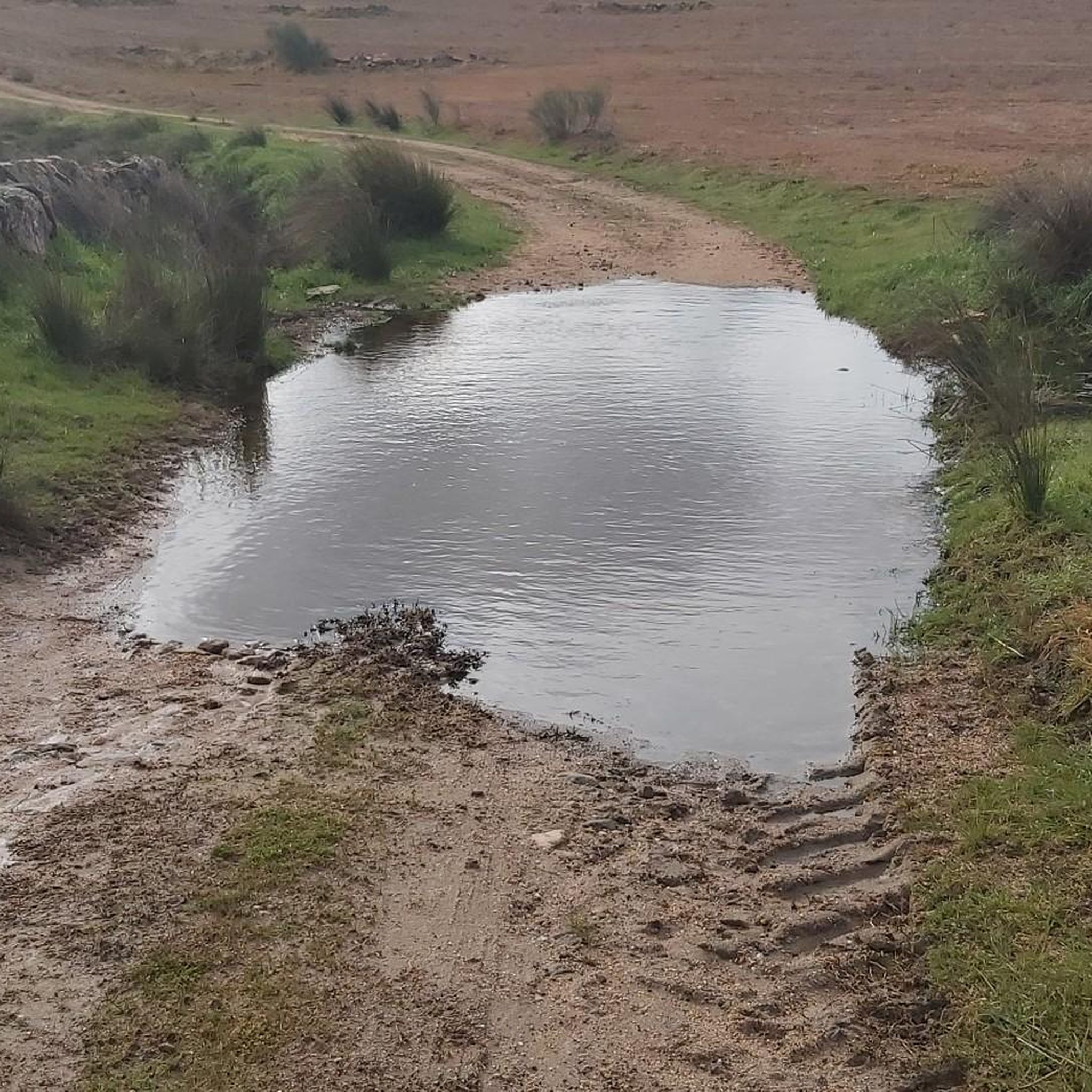
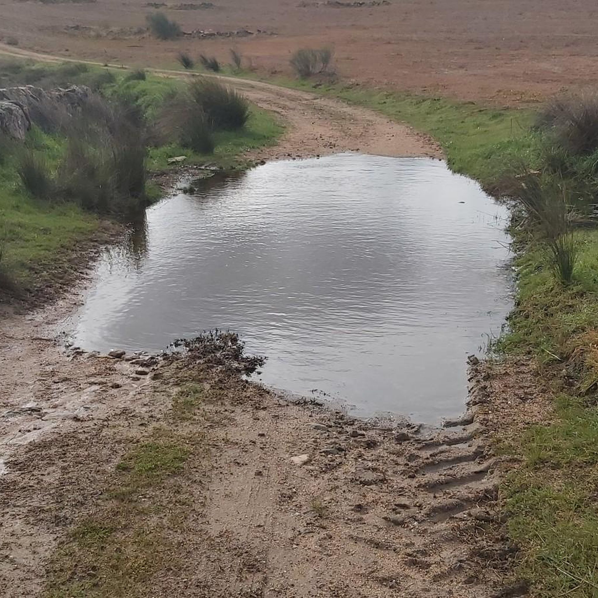

Tips from the Community

Cancho Roano is located three kilometers from Zalamea, in the direction of Quintana de la Serena, in a small valley next to the Cagancha stream. Although it was initially attributed to Tartessos, later research suggests a Phoenician architectural character. Cancho Roano invites us to explore its mystery and reflect on the ancient civilizations that left their mark on this place. 🏛️🌿
2
0

Quintana de La Serena is a small regional town in the La Serena region. The most important monument is the pre-Roman Hijovejo with its new cultural education center. Stop by the city church on the Spanish Steps to eat and drink during your trip and admire the heritage of the city center.
3
0
Cultural visitor center archaeological site The pre-Roman settlement of Cancho Roano.
2
0
Large open-air nature reserve around the Zalamea reservoir that collects the waters of the Ortiga River between the towns of Higuera de la Serena and Zalamea de la Serena.
2
0
Zalamea de la Serena is a town full of history. With evidence of pre-Roman settlements found near the town, Roman and medieval monuments. Excellent starting point for outdoor activities towards the Zalamea Reservoir, La Charca, as it is known locally.
2
0
A small path on the outskirts of the town leads to the ruins of the defensive castle of Benquerencia. The views. they are spectacular. Just sit on a bench and admire the scenery.
3
0
The Puerto Ancho Viewpoint is an important peak in the Sierra de Benquerencia since prehistoric times. The high exposed ridge has been inhabited and used as a defensive elevated position for millennia. Some caves have been discovered along this ridge.
2
0

Population that is close to the Sierras del Arrozao on the one hand and the Río Guadámez on the other. The closest, the Sierra de la Dehesa to the north of the town.
1
1
Frequently Asked Questions
How many hiking trails are available in Zalamea De La Serena?
There are over 20 hiking trails around Zalamea De La Serena, offering a variety of experiences from easy walks to more challenging ascents. You'll find routes suitable for different fitness levels and interests.
Are there easy hiking trails suitable for beginners in Zalamea De La Serena?
Yes, Zalamea De La Serena offers a good selection of easy trails. Approximately half of the routes in the area are classified as easy, making them perfect for beginners or those looking for a relaxed walk. An example is the Dolmen Sierra Gorda trail, which leads through scenic landscapes to an ancient archaeological site.
What kind of landscapes can I expect to see while hiking in this region?
The region is characterized by diverse landscapes, including rugged sierras (steep mountain ranges) and dehesas (Mediterranean open woodlands). You'll also encounter significant natural features like the La Charca reservoir and the River Guadalefra, providing varied terrain for exploration.
Are there any historical or archaeological sites I can visit on a hike?
Absolutely. Several trails integrate historical attractions. For instance, the Cancho Roano Archaeological Trail leads to the significant Cancho Roano Archaeological Site. You can also explore the Dolmen of Sierra Gorda on a dedicated trail, offering insights into the region's ancient past.
Can I find trails that are suitable for families with children?
Yes, many of the easier trails are suitable for families. The region's commitment to showcasing its natural and ethnological wealth through guided routes often includes options for all ages. Look for routes classified as 'easy' for the most family-friendly experiences.
What is the best time of year to go hiking in Zalamea De La Serena?
Autumn and spring are generally the best times for hiking in Zalamea De La Serena. During these seasons, the weather is milder and more pleasant for outdoor activities. Spring brings blooming flora, while autumn offers comfortable temperatures and opportunities for birdwatching in areas like La Serena Esteparia.
Are there any circular hiking routes in the area?
Yes, circular routes are available. For example, the Cerro de San Cristóbal and La Charca Trail is a popular moderate circular route that circles the La Charca reservoir and ascends Cerro de San Cristóbal.
Where can I find parking for hiking trails in Zalamea De La Serena?
While specific parking areas for each trailhead are not detailed, Zalamea De La Serena is a town that serves as a starting point for many excursions. It's generally advisable to look for parking within or on the outskirts of the town, especially near popular trail access points or attractions like the La Charca reservoir.
Is public transport available to reach the trailheads?
Information on specific public transport links directly to trailheads is limited. Zalamea De La Serena is a small town, and while local bus services might connect it to larger towns, reaching individual trail starting points often requires personal transport. It's best to check local transport schedules upon arrival.
What are some notable natural features to look out for on the trails?
Keep an eye out for the La Charca reservoir, a central hub for outdoor activities and ornithological observation, and the River Guadalefra. The region's diverse terrain also includes the abrupt sierras and dehesas, offering varied natural beauty. You might also spot the Pico de Santa Inés, indicating higher elevations.
Are there opportunities for birdwatching while hiking?
Yes, Zalamea De La Serena is an excellent area for birdwatching, particularly during autumn and spring. The La Charca reservoir is a notable site for ornithological observation, and the La Serena Esteparia ecosystem is recognized for its abundant bird species.
What do other hikers say about the trails in Zalamea De La Serena?
The trails in Zalamea De La Serena are highly rated by the komoot community, with an average score of 4.0 stars. Hikers often praise the varied terrain, the combination of natural beauty with historical sites, and the options available for different ability levels.
Are there any longer or more challenging routes for experienced hikers?
Yes, while many routes are easy to moderate, the region also offers more demanding options. The presence of 'abrupt sierras' and peaks like Pico de Santa Inés suggests opportunities for challenging ascents and longer distances, catering to experienced hikers seeking more strenuous adventures.
Can I combine hiking with exploring local villages or towns?
Yes, hiking in Zalamea De La Serena can easily be combined with exploring local culture. The small village of Docenario, historically associated with the Zalamea reservoir, is often included in hiking routes. Additionally, the historic Castle of Benquerencia de la Serena and the Roman Columns of Zalamea de la Serena are interesting points of interest for those exploring the surroundings.
Most popular routes around Zalamea De La Serena
Most popular attractions around Zalamea De La Serena

Get inspired with the komoot mobile app


Explore more
Browse the best Hikes in other regions.
