The best walks and hikes around Chilluévar
4.5
(521)
3,604
hikers
72
hikes
Hiking around Chilluévar offers access to the diverse landscapes of the Sierras de Cazorla, Segura y Las Villas Natural Park, Spain's largest protected natural area. The terrain features spectacular mountain landscapes, deep valleys, and rich water features including rivers and waterfalls. Pine, poplar, and oak forests cover much of the area, providing varied environments for outdoor activities.
Best hiking trails around Chilluévar
- The most popular hiking route is El Gilillo Trail, a 14.0 miles (22.5 km) trail that takes…
Last updated: October 21, 2026
4.7
(13)
101
hikers
22.5km
07:53
1,080m
1,080m
Hike the difficult El Gilillo Trail, a 14.0-mile route with 3554 feet of elevation gain, offering panoramic views from Pico Gilillo.
4.2
(9)
42
hikers
5.79km
02:05
330m
330m
Hike the moderate 3.6-mile La Osera Trail in Sierras de Cazorla, Segura y Las Villas Natural Park, featuring stunning waterfalls.

4.4
(7)
22
hikers
Moderate hike. Good fitness required. Easily walkable paths.
4.3
(10)
48
hikers
6.51km
02:27
420m
420m
Moderate hike. Good fitness required. Easily walkable paths.
4.1
(7)
16
hikers
5.82km
01:50
230m
230m
Easy hike. Easily walkable paths.
Get access to more routes and recommendations from other explorers.
Already have an account?
Our route recommendations are based on thousands of hikes, rides, and runs completed by other people on komoot.
Start today with a free account
Your next adventure awaits.

Tips from the Community

Hiking boots and good physical fitness
0
0

This reservoir, dedicated to storing water for human consumption, is closed to swimming and recreational boats. It is fed by the Aguascebas, Fuente del Tajo, and Aguascebas del Chorro Gil streams, located in the municipality of Villacarrillo. Located within the Cazorla, Segura y las Villas Natural Park, it is a small reservoir that can hold up to 6.37 hm3.
12
0
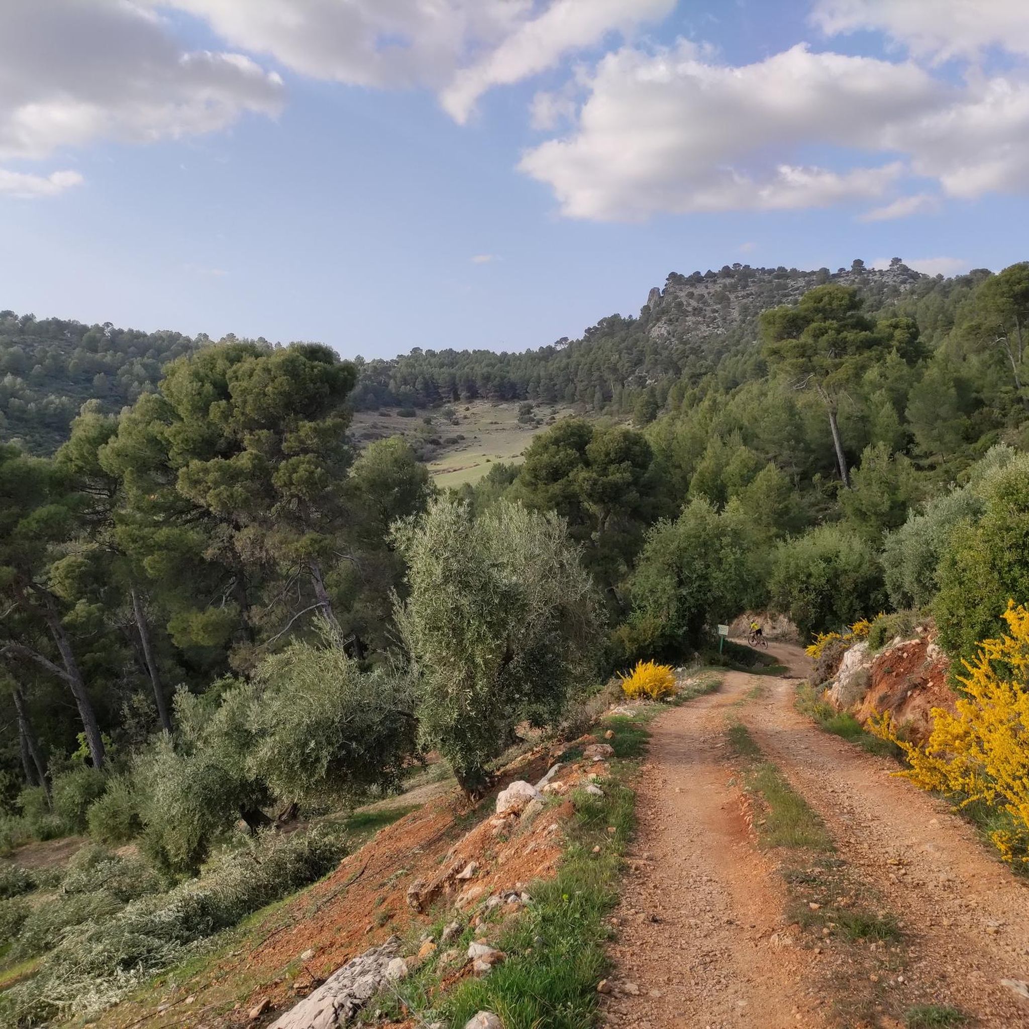
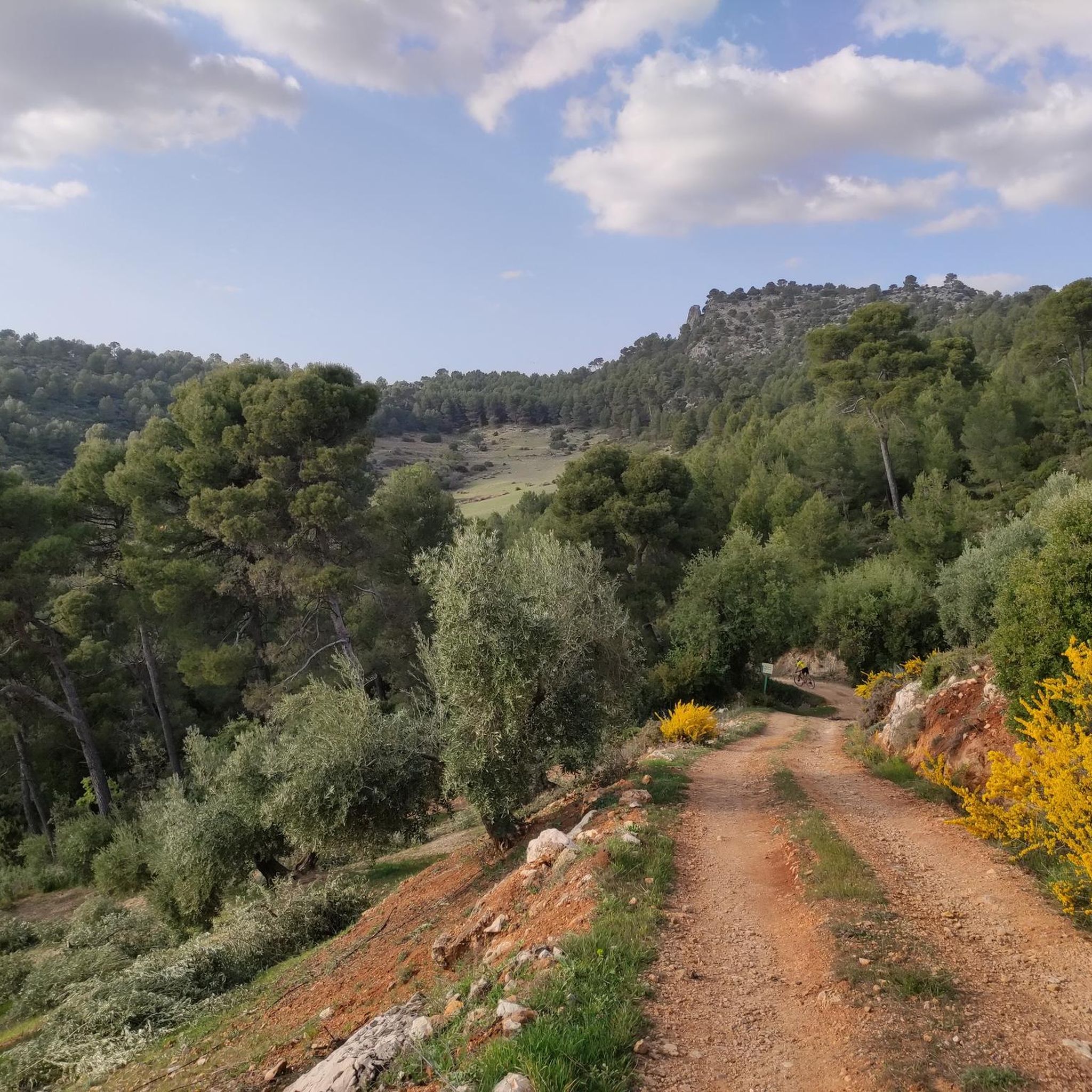
We're at the beginning of the Osera trail, where the sign announces and informs us of the difficulty of the route, as well as the distance and elevation gain. We're also advised to be properly equipped with hiking shoes and appropriate clothing. However, there are always people who venture onto the trail without these precautions, and they obviously have a hard time. As a cyclist, I don't recommend doing this on a bike for many reasons, including the steep gradient and the technical difficulty required for this route. However, it's advisable to bring a camera or mobile phone to take photos, as it is spectacularly beautiful.
12
0

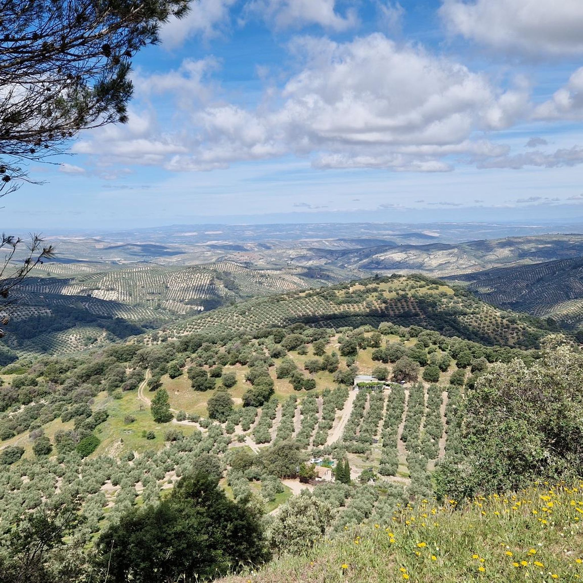
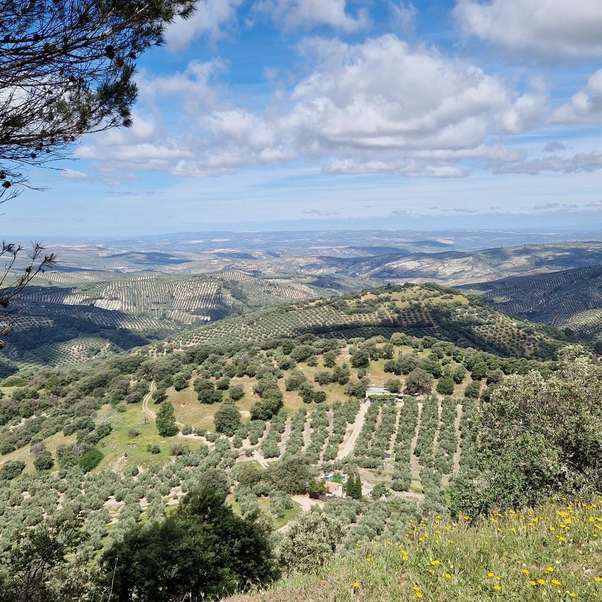
This is not a Templar castle, as is often said, but it is a real wonder and well worth a visit. From the top of its keep, you have fantastic views of the entire Jaén countryside and its sea of olive trees. Closed on Mondays and Tuesdays, be careful!
0
0

The castle of La Iruela is a fortress of Andalusian origin located on a rock called El Picacho, in the heart of the natural park of the Sierras de Cazorla, Segura y Las Villas. The views of the town and the surroundings are impressive. An open-air theater has been built in the castle grounds that pays homage to ancient Greek theatres. In this place, artistic activities and fireworks are carried out.
1
1

It is a municipality in the province of Jaén, in Andalusia. It is located on the slopes of the Sierra de Cazorla, crowning the Guadalquivir valley. One of its most emblematic monuments is the Iruela castle, dating from the 12th century located at the top of the hill.
0
0
Municipality of the province of Jaén, in Andalusia. It is located on the slopes of the Sierra de Cazorla, crowning the Guadalquivir valley. One of its most emblematic monuments is the Castillo de la Iruela, dating from the 12th century located on top of a hill.
1
0
Waterfall of approximately 80 meters of almost free fall, considered one of the highest and most beautiful in the Sierra de Cazorla. In the rainy season the impressive spectacle. that offers with its impressive
3
0
Frequently Asked Questions
How many hiking trails are available around Chilluévar?
There are over 60 hiking routes in the Chilluévar area, catering to various skill levels. You'll find 21 easy trails, 29 moderate routes, and 11 challenging treks, ensuring options for almost every outdoor enthusiast.
Are there any family-friendly hiking options in Chilluévar?
Yes, Chilluévar offers several easy paths suitable for families. The region's diverse trails include routes that are less strenuous, allowing families to enjoy the natural beauty of the Sierras de Cazorla, Segura y Las Villas Natural Park together. For example, the Castle of La Iruela – Castillo de La Iruela loop from Cazorla is an easy 5.4 km hike.
Can I find trails with waterfalls in Chilluévar?
Absolutely. The Chilluévar area is rich in water features. The La Osera Trail is particularly known for its stunning waterfalls within the natural park. Additionally, the region is home to the Linarejos Waterfall, a notable natural monument.
Are there any circular hiking routes around Chilluévar?
Yes, circular routes are available. A popular option is the Embalse de Aguascebas - circular through the P. N. de las Sierras de Cazorla, Segura y las Villas, which is a moderate 8.6 km trail leading through the picturesque Aguascebas Reservoir area. Another is the Aguascebas Reservoir – Osera Trail loop from La Osera.
What kind of natural features and landmarks can I expect to see on the trails?
Hiking around Chilluévar offers a variety of natural features. You can expect spectacular mountain landscapes, deep valleys, and extensive pine, poplar, and oak forests. Many trails provide panoramic views, such as those from Pico Gilillo. The area is also known for its water features, including the continuously flowing Cañamares river and the Aguascebas Reservoir. You might also encounter traditional farmhouses like Los Tiscares along some routes.
What is the best time of year to go hiking in Chilluévar?
The Sierras de Cazorla, Segura y Las Villas Natural Park, where Chilluévar is located, offers enjoyable hiking experiences throughout much of the year. Spring and autumn generally provide the most pleasant temperatures for hiking, with vibrant flora in spring and beautiful foliage in autumn. Summers can be warm, but higher elevation trails offer cooler conditions. Winters can bring colder temperatures and sometimes snow, especially at higher altitudes, which can offer a different kind of scenic beauty for well-prepared hikers.
Are there any viewpoints or scenic spots along the trails?
Yes, the region is known for its breathtaking panoramic views. Trails like the El Gilillo Trail reward hikers with expansive vistas from high points such as Pico Gilillo. Other notable viewpoints include the Puerto de las Palomas Viewpoint and the Views from the Fuente de la Parra shelter.
What do other hikers say about the trails in Chilluévar?
The hiking routes in Chilluévar are highly regarded by the komoot community, holding an average rating of 4.5 stars from over 450 reviews. Hikers frequently praise the spectacular mountain landscapes, the diverse water features, and the extensive pine forests that define the area. Many appreciate the variety of options available for different ability levels.
Are there any shelters or huts available along the hiking routes?
Yes, there are several shelters and huts in the vicinity that can be useful for hikers. These include the El Sacejo Refuge, the Tinada de Serval free shelter, and the La Zarza Forest House Shelter. These can offer a place to rest or take cover during your hike.
What kind of wildlife can I expect to see while hiking in Chilluévar?
The Sierras de Cazorla, Segura y Las Villas Natural Park is known for its rich biodiversity. While hiking, you might encounter a wide variety of wild animals, including various bird species, deer, and other local fauna. The diverse flora, with its extensive forests of pines, poplars, and oaks, also makes it an ideal location for nature observation.
Are there any easy hikes suitable for beginners in Chilluévar?
Yes, Chilluévar offers a good selection of easy hikes perfect for beginners or those looking for a relaxed walk. Out of the 61 available routes, 21 are classified as easy. These paths allow you to enjoy the natural surroundings without requiring extensive hiking experience or high fitness levels.
Most popular attractions around Chilluévar

Get inspired with the komoot mobile app


Explore more
Browse the best Hikes in other regions.
