The best walks and hikes around Buchhofen
4.6
(818)
3,564
hikers
324
hikes
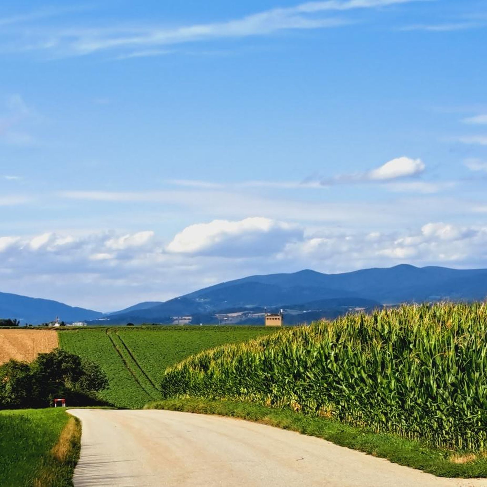
Hiking around Buchhofen offers exploration within a diverse landscape shaped by the Danube River and its significant floodplain. The region features extensive riverbanks and woodlands, providing varied terrain for outdoor activities. The confluence of the Isar River with the Danube creates a unique ecological area, offering distinctive scenery for hikers. This area provides numerous paths suitable for both walking and cycling.
Best hiking trails around Buchhofen
- The most popular hiking route is Zur Grafenmühle – Isar Mouth Information Center loop…
Last updated: June 26, 2026
5.0
(1)
23
hikers
Moderate hike. Good fitness required. Easily-accessible paths. Suitable for all skill levels.
4.6
(10)
19
hikers
5.54km
01:30
80m
80m
Easy hike. Great for any fitness level. Easily-accessible paths. Suitable for all skill levels.

Sign up for free
5.0
(4)
6
hikers
8.40km
02:18
130m
130m
Moderate hike. Good fitness required. Easily-accessible paths. Suitable for all skill levels.
5.0
(1)
4
hikers
18.7km
04:42
20m
20m
Moderate hike. Good fitness required. Easily-accessible paths. Suitable for all skill levels.
3
hikers
4.52km
01:09
10m
10m
Easy hike. Great for any fitness level. Easily-accessible paths. Suitable for all skill levels.
Get access to more routes and recommendations from other explorers.
Sign up for free
Already have an account?
Our route recommendations are based on thousands of hikes, rides, and runs completed by other people on komoot.
Start today with a free account
Your next adventure awaits.
Login or Signup
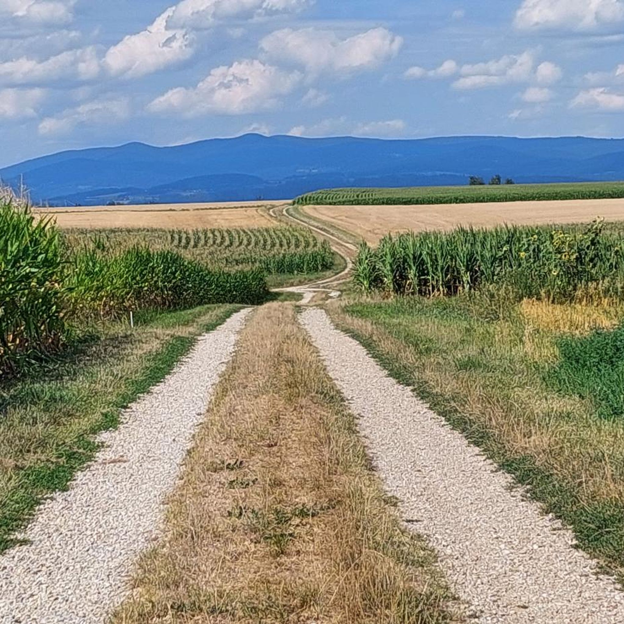
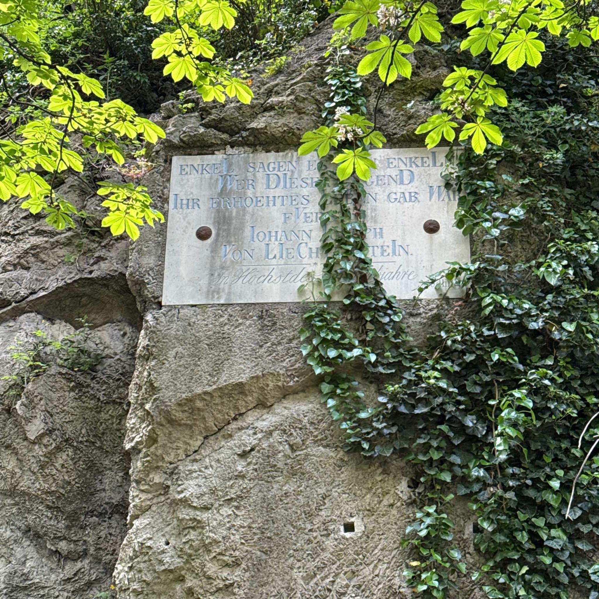
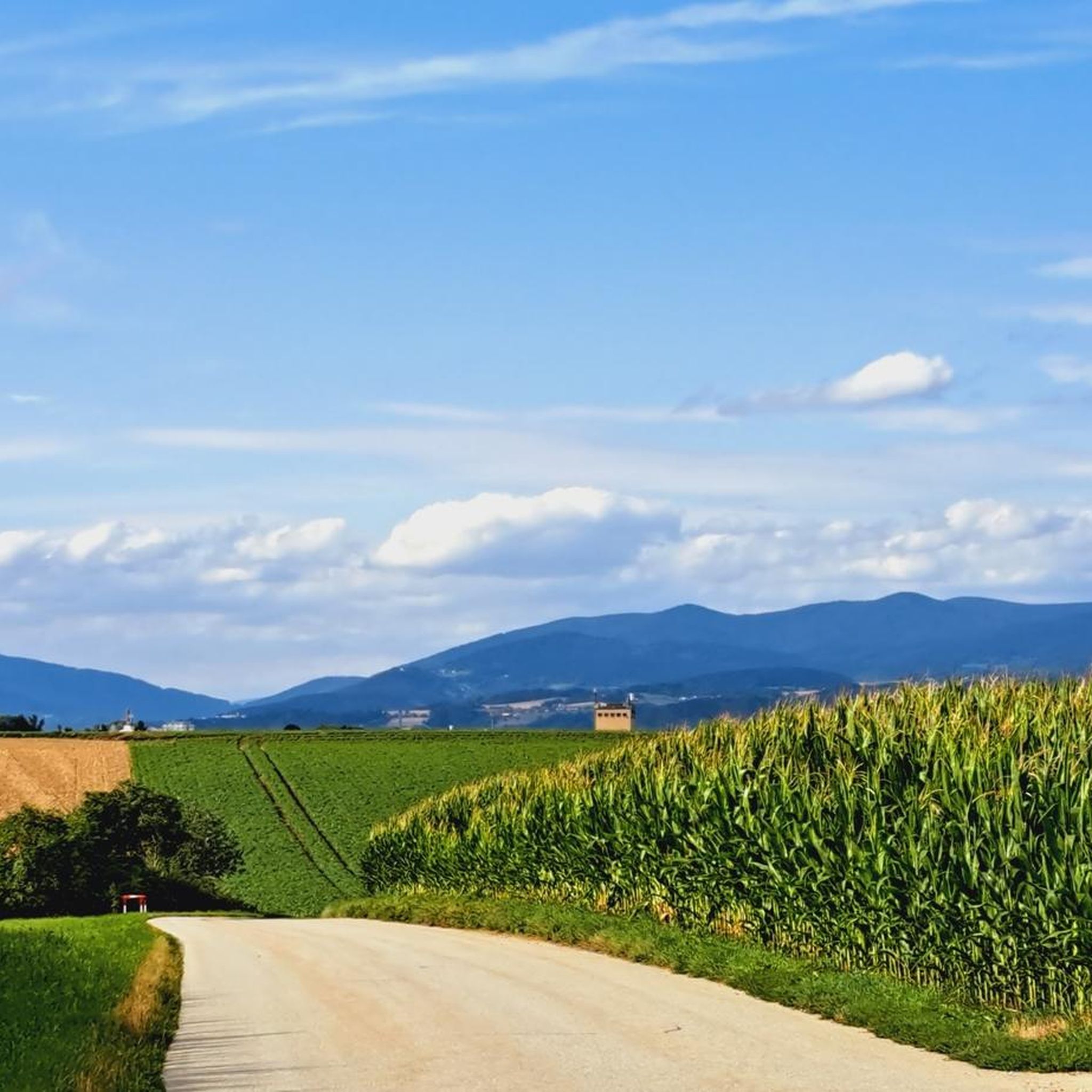
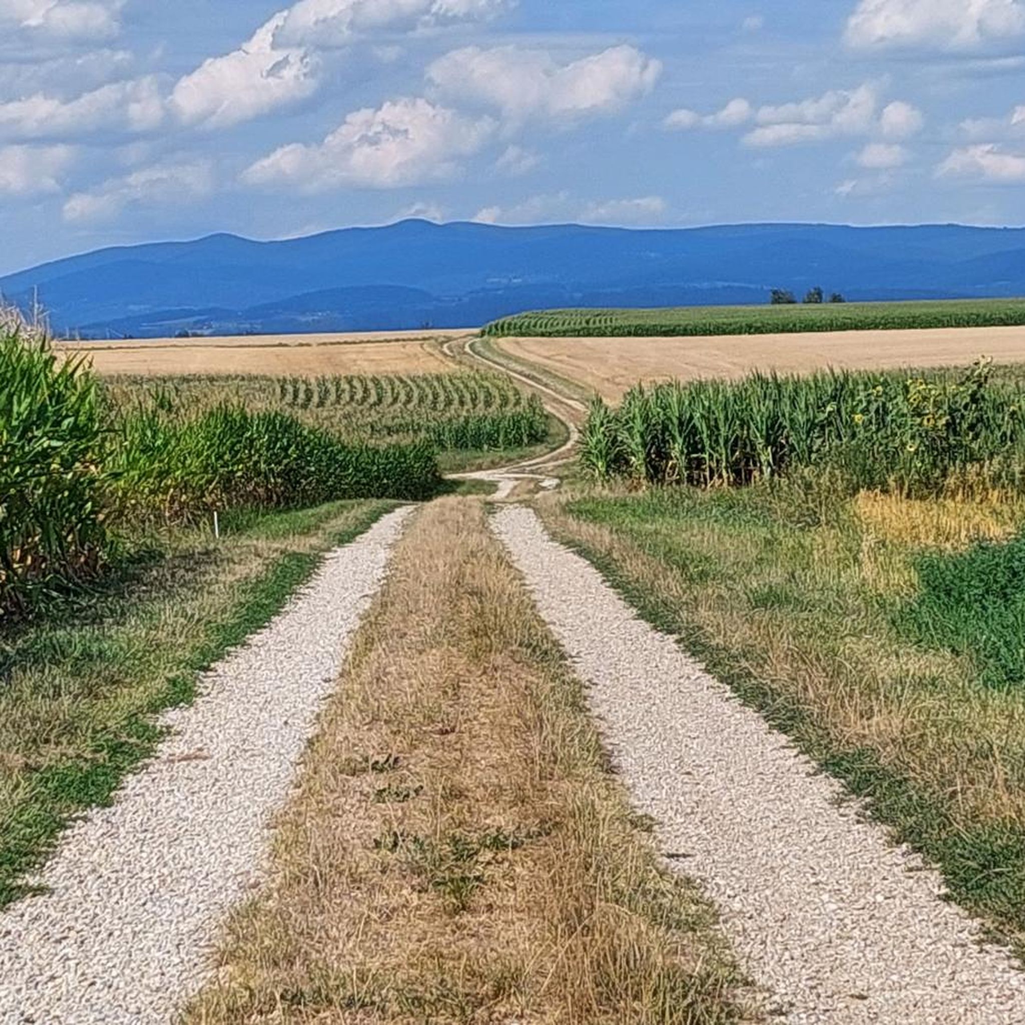
Tips from the Community

Once you have fought your way through the many greenery, you come out at the top where the Isar flows into the Danube
1
0

Opening Hours of the Isar Estuary Information Center April 1 to October 31 Wednesday to Sunday 10:00 AM to 5:00 PM The information center is also open on public holidays that fall on Mondays or Tuesdays. Admission is free
0
0

A beautifully situated beer garden near the mouth of the Isar River. If you continue towards Passau, you can't miss it.
1
0


This section is only suitable for MTBs as the terrain is very difficult (beaver holes, fallen trees and just a dirt path).
1
0

About the Brünnl Chapel: https://youtu.be/McRRRYy2x_o
0
0

Nice place, there is a lot to discover for big and small. Important: mosquito repellent!!! Dogs are not allowed in the Infohaus area.
0
0

Here on the Isar there are great paths for biking and hiking. The landscape in this area is simply fantastic and always worth a visit.
32
2
Frequently Asked Questions
How many hiking trails are available in Buchhofen?
Buchhofen offers a wide variety of hiking opportunities, with over 330 routes available for exploration. These trails cater to different preferences, ranging from easy strolls to more challenging excursions through the region's diverse landscapes.
What kind of landscape can I expect when hiking around Buchhofen?
Hiking around Buchhofen immerses you in a unique riverine and floodplain landscape, primarily shaped by the Danube and Isar rivers. You'll find extensive riverbanks, lush woodlands, and the distinctive ecological area formed by the confluence of the Isar with the Danube. This creates a scenic backdrop for diverse outdoor activities.
Are there easy hiking trails suitable for beginners or families in Buchhofen?
Yes, Buchhofen is very welcoming for beginners and families, with over 225 easy routes. A great option is the Dreikreuzgruppe – Bankerweg Wallerfing loop from Wallerfing, an easy 3.4-mile (5.5 km) path that offers a gentle walk through the local countryside.
Are there more challenging hikes for experienced hikers in Buchhofen?
While the region is known for its accessible trails, there are a few more challenging options for experienced hikers, with 4 routes rated as difficult. These trails often feature varied terrain and longer distances, providing a more strenuous experience within the riverine and woodland settings.
What natural features or landmarks can I see while hiking in Buchhofen?
The region boasts several natural features and landmarks. You can explore the unique floodplain landscape near the Isar Mouth Information Center, as seen on the Zur Grafenmühle – Isar Mouth Information Center loop from Langenisarhofen. Additionally, you might encounter beautiful ponds like the Pond in the Isarauen or the Beautiful ponds next to the Danube, offering picturesque spots for a break.
Are there any historical sites to explore near the hiking trails?
Yes, the region around Buchhofen has historical significance. While hiking, you might come across historical structures such as Schloss Niederpöring or the Winzer Castle Ruins. The renowned Niederaltaich Abbey, with its nearly 1,300-year history, is also a notable cultural attraction in the broader area, offering a glimpse into the region's past.
Can I bring my dog on the hiking trails in Buchhofen?
Many trails in Buchhofen are suitable for dogs, allowing you to enjoy the natural beauty with your canine companion. It's always recommended to keep dogs on a leash, especially in nature protection areas or near wildlife, and to check local signage for any specific restrictions on individual routes.
Are there circular hiking routes available in Buchhofen?
Yes, many of the hiking routes in Buchhofen are circular, offering convenient starting and ending points. For example, the Dreikreuzgruppe – Brünnl Chapel and Spring loop from Wallerfing is a popular 5.2-mile (8.4 km) circular trail that takes you through varied terrain.
What do other hikers enjoy most about hiking in Buchhofen?
The area is highly rated by the komoot community, with an average score of 4.6 stars from over 700 reviews. Hikers often praise the peaceful riverine landscapes, the well-maintained paths suitable for various fitness levels, and the opportunity to explore the unique floodplain ecosystem.
What is the best time of year to go hiking in Buchhofen?
The spring and autumn months are generally ideal for hiking in Buchhofen, offering pleasant temperatures and beautiful scenery as nature awakens or displays its vibrant fall colors. Summer can also be enjoyable, particularly for walks along the shaded riverbanks, while winter offers a different, tranquil experience, though some paths might be less accessible.
Where can I find parking for hiking trails in Buchhofen?
Many trailheads and popular starting points in and around Buchhofen offer designated parking areas. It's advisable to check the specific route details on komoot for information on parking availability near your chosen starting point, as options can vary.
Is public transport an option to reach hiking starting points in Buchhofen?
While some villages and towns near hiking routes in the Buchhofen region may have public transport connections, direct access to all trailheads might be limited. For specific routes, it's best to research local bus schedules or train connections to nearby towns and plan your journey accordingly.
Most popular routes around Buchhofen
Most popular attractions around Buchhofen

Get inspired with the komoot mobile app


Explore more
Browse the best Hikes in other regions.
